Grindleton Fell
Wood, Forest in Yorkshire Ribble Valley
England
Grindleton Fell
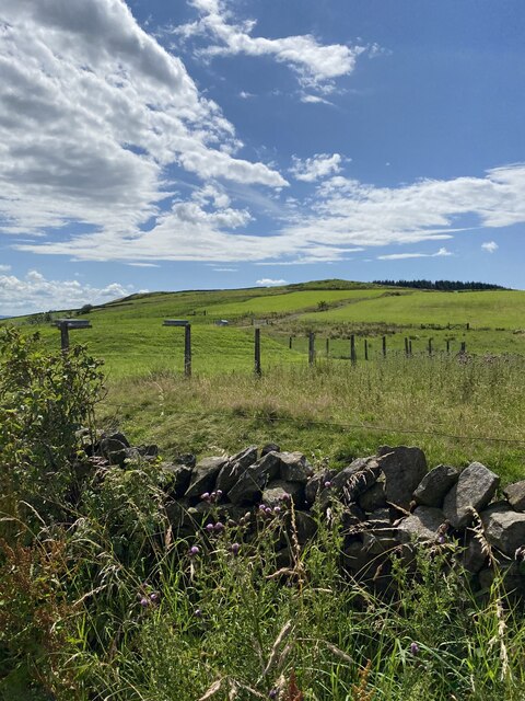
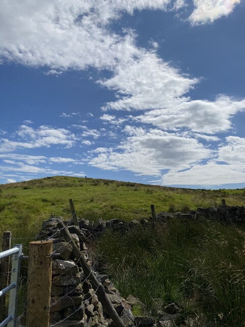
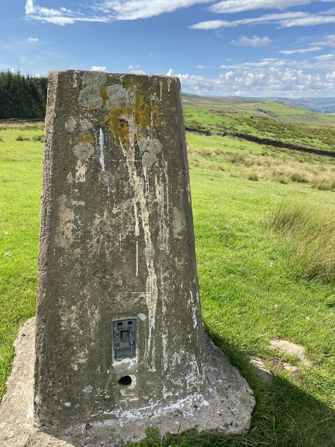
Grindleton Fell is a picturesque area located in the county of Yorkshire, England. Situated near the village of Grindleton, this scenic landscape is known for its abundant woodlands and flourishing forests. Spanning an area of approximately 400 hectares, Grindleton Fell is a popular destination for nature enthusiasts and hikers alike.
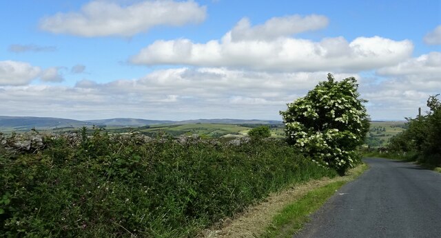
The woodland in Grindleton Fell is characterized by a diverse range of trees and vegetation, including oak, birch, and beech. The verdant canopy provides a haven for an array of wildlife, such as deer, rabbits, and numerous species of birds. The forest floor is adorned with vibrant wildflowers during the spring and summer months, creating a vibrant tapestry of colors.
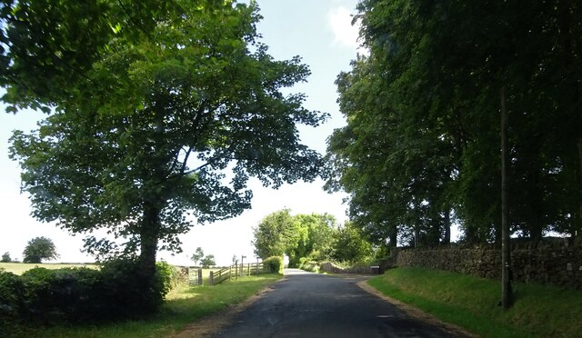
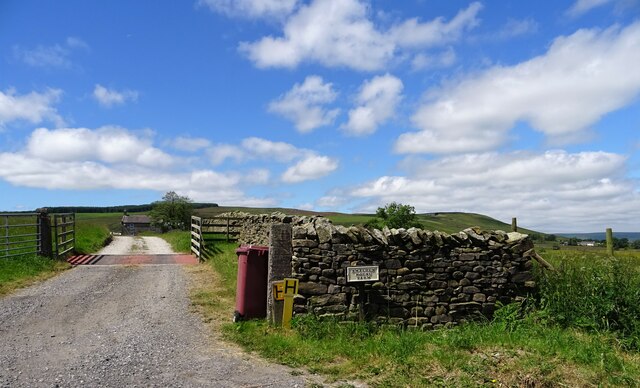
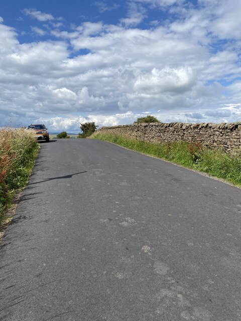
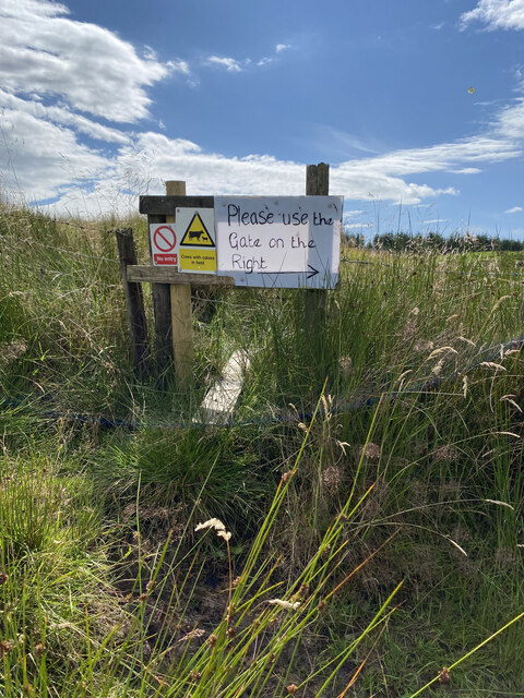
Traversing through Grindleton Fell, visitors can explore a network of walking trails and footpaths that wind their way through the woods. These paths offer breathtaking views of the surrounding countryside, with glimpses of the nearby River Ribble adding to the allure of the landscape. The tranquil atmosphere and peaceful serenity make it an ideal location for those seeking solace in nature.
In addition to its natural beauty, Grindleton Fell has historical significance as well. The area is dotted with remnants of ancient settlements, including stone circles and burial mounds, providing insights into the region's rich past.
Overall, Grindleton Fell in Yorkshire is a captivating destination that offers a harmonious blend of natural splendor, recreational opportunities, and cultural heritage. Whether it be a leisurely stroll through the woods or a more adventurous hike, this idyllic setting is sure to leave visitors with lasting memories of its enchanting beauty.
If you have any feedback on the listing, please let us know in the comments section below.
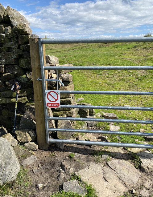
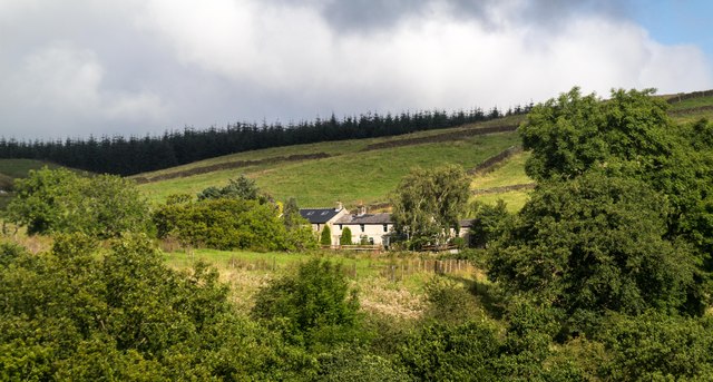
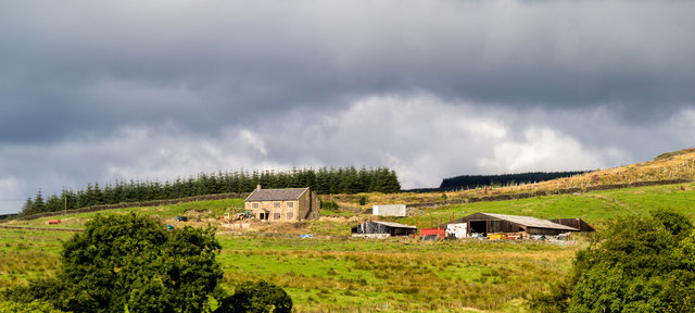
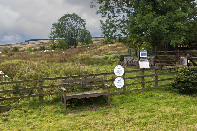
Grindleton Fell Images
Images are sourced within 2km of 53.928215/-2.392553 or Grid Reference SD7448. Thanks to Geograph Open Source API. All images are credited.


Grindleton Fell is located at Grid Ref: SD7448 (Lat: 53.928215, Lng: -2.392553)
Division: West Riding
Administrative County: Lancashire
District: Ribble Valley
Police Authority: Lancashire
What 3 Words
///unusable.bleach.dumpy. Near Waddington, Lancashire
Nearby Locations
Related Wikis

Easington Fell
Easington Fell is a Marilyn in the Forest of Bowland in Lancashire, England. It has been surveyed to be 70 cm higher than a nearby fell of almost identical...

Grindleton
Grindleton is a village and civil parish in the Ribble Valley district of the English county of Lancashire, formerly in the West Riding of Yorkshire. Its...

Grindletonians
The Grindletonians were a Puritan sect that arose in the town of Grindleton in Lancashire, England, in around 1610. The sect remained active in the North...
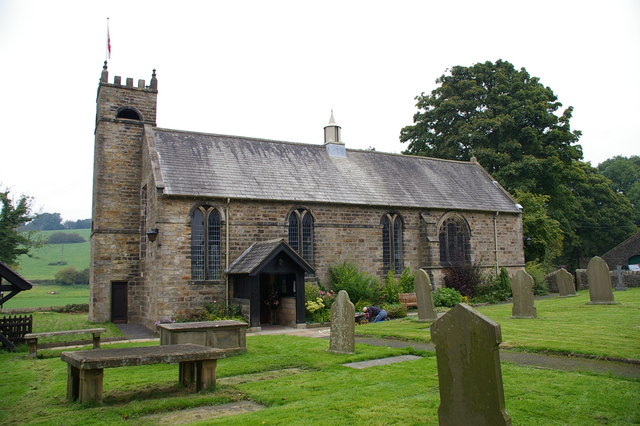
St Ambrose's Church, Grindleton
St Ambrose's Church is in the village of Grindleton, which is situated about 3 miles (5 km) northeast of Clitheroe, Lancashire, England. It is an active...
Nearby Amenities
Located within 500m of 53.928215,-2.392553Have you been to Grindleton Fell?
Leave your review of Grindleton Fell below (or comments, questions and feedback).