Bevanhill Coppice

Wood, Forest in Gloucestershire Forest of Dean

England

Bevanhill Coppice

M50 looking west at junction 2
M50 looking west at junction 2 Credit: Colin Pyle

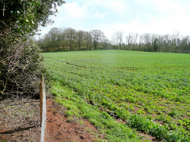
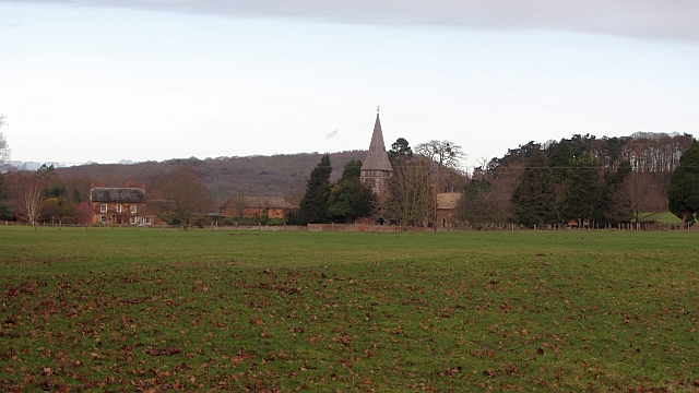
Bevanhill Coppice is a picturesque woodland located in Gloucestershire, England. Spanning over an area of approximately 50 acres, this enchanting forest is a treasure trove of natural beauty and diverse flora and fauna.

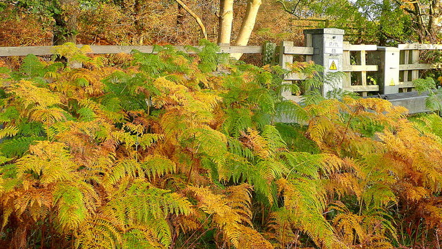
The coppice is characterized by a dense canopy of trees, mainly consisting of native species such as oak, beech, ash, and birch. These majestic trees create a serene and tranquil atmosphere, providing shade and shelter to the myriad of wildlife that call this woodland their home. The forest floor is adorned with a carpet of wildflowers, ferns, and mosses, creating a vibrant and enchanting landscape.

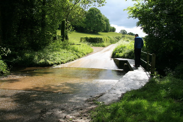
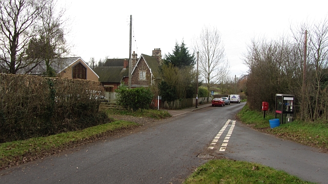
The woodland is crisscrossed by a network of well-maintained footpaths, allowing visitors to explore and immerse themselves in the natural wonders of Bevanhill Coppice. These paths wind through the forest, leading to hidden clearings, babbling brooks, and charming viewpoints. The sounds of birdsong fill the air, as various species of birds nest and forage amongst the branches.

Bevanhill Coppice is also home to a diverse array of wildlife. Squirrels can be seen darting through the trees, while badgers and foxes roam the undergrowth. The forest is home to numerous species of butterflies, beetles, and insects, making it a haven for nature enthusiasts and photographers alike.

Visitors to Bevanhill Coppice can enjoy a peaceful retreat surrounded by nature's splendor, with ample opportunities for walking, birdwatching, and simply appreciating the tranquility of this ancient woodland. Whether it's a leisurely stroll or a more adventurous exploration, Bevanhill Coppice is a hidden gem that captivates all who visit.

If you have any feedback on the listing, please let us know in the comments section below.

Bevanhill Coppice Images

Images are sourced within 2km of 51.99696/-2.3782978 or Grid Reference SO7433. Thanks to Geograph Open Source API. All images are credited.

M50 looking west at junction 2
M50 looking west
M50 looking west
M50 westbound at Bromsberrow Heath
M50 near Ryton
M50 near Ryton
Wild daffodils by the M50 These Narcissus pseudonarcissus clothe the slopes surrounding the Highways Authority depot at Junction 2 of the M50.
Wild daffodils by the M50
These Narcissus pseudonarcissus clothe the slopes surrounding the Highways Authority depot at Junction 2 of the M50.
Bridleway to Ever Hill Coppice Deeply indented green lane popular with dog-walkers.
Bridleway to Ever Hill Coppice
Deeply indented green lane popular with dog-walkers.
Ryton Coppice View from the bridleway east of Ryton.
Ryton Coppice
View from the bridleway east of Ryton.
Ford on the minor road from Eastnor to Bromsberrow
Sunrise over the M50 Early morning commuters and delivery drivers are out on the nation's road system.
Sunrise over the M50
Early morning commuters and delivery drivers are out on the nation's road system.
Bracken by the M50 Whilst waiting in a traffic queue I noticed this little slice of autumn out of my passenger side window!
Bracken by the M50
Whilst waiting in a traffic queue I noticed this little slice of autumn out of my passenger side window!
A big grass field, Bromesberrow Looking towards the limestone hills at Ledbury, beyond Bromesberrow Court and church.
A big grass field, Bromesberrow
Looking towards the limestone hills at Ledbury, beyond Bromesberrow Court and church.
School, Bromesberrow Village primary school and telephone box seen from the green.
School, Bromesberrow
Village primary school and telephone box seen from the green.
Polytunnel hoops The frames for fruit tunnels are exposed during the winter.
Polytunnel hoops
The frames for fruit tunnels are exposed during the winter.
Ford near Clencher's Mill
Single track lane near Bromesberrow
Memorial to Marie Every spring this floral tribute by the M50 reminds me of the tragic and as yet (2012) unsolved murder of Marie Wilks in June 1988; see <span class="nowrap"><a title="http://www.bbc.co.uk/herefordandworcester/content/articles/2008/05/14/m50_marie_wilks_timeline_feature.shtml" rel="nofollow ugc noopener" href="http://www.bbc.co.uk/herefordandworcester/content/articles/2008/05/14/m50_marie_wilks_timeline_feature.shtml">Link</a><img style="margin-left:2px;" alt="External link" title="External link - shift click to open in new window" src="https://s1.geograph.org.uk/img/external.png" width="10" height="10"/></span>
Memorial to Marie
Every spring this floral tribute by the M50 reminds me of the tragic and as yet (2012) unsolved murder of Marie Wilks in June 1988; see LinkExternal link
Lake in Bromesberrow Park Looking northwards across the man-made lake towards Toney's Coppice on the left and High Wood on the right.
Lake in Bromesberrow Park
Looking northwards across the man-made lake towards Toney's Coppice on the left and High Wood on the right.
A417 near Hanover Green
Show me another place!

Bevanhill Coppice is located at Grid Ref: SO7433 (Lat: 51.99696, Lng: -2.3782978)

Administrative County: Gloucestershire

District: Forest of Dean

Police Authority: Gloucestershire

What 3 Words

///broom.vessel.markets. Near Donnington, Herefordshire

Related Wikis

Bromsberrow

Bromsberrow (or Bromesberrow) is part of the Forest of Dean district. The village is close to the meeting point between Gloucestershire, Herefordshire...

Three Counties (Gloucestershire, Herefordshire and Worcestershire)

The Three Counties of England are traditionally the three agrarian counties of Gloucestershire, Herefordshire and Worcestershire.Including towns and cities...

Redmarley D'Abitot

Redmarley D'Abitot is a civil parish and village in the Forest of Dean district, Gloucestershire, South West England. In addition to the village of Redmarley...

Ketford Bank

Ketford Bank (grid reference SO723308) is a 0.69-hectare (1.7-acre) nature reserve in Gloucestershire.The site is owned and managed by the Gloucestershire...

Whiteleaved Oak

Whiteleaved Oak is a hamlet in the English county of Herefordshire, lying in a valley at the southern end of the Malvern Hills between Raggedstone Hill...

Parkway, Herefordshire

Parkway is a hamlet centred 2 km (1.2 mi) south of the market town of Ledbury in Herefordshire, England, centred on the direct single-carriageway north...

Donnington, Herefordshire

Donnington is a village and civil parish near Ledbury. == Parish church == The parish church is dedicated to Saint Mary. Donnington Hall is located here...

Vell Mill Daffodil Meadow

Vell Mill Daffodil Meadow (grid reference SO710314) is a 2.1-hectare (5.2-acre) nature reserve in Gloucestershire.The site is owned and managed by the...

Nearby Amenities

Located within 500m of 51.99696,-2.3782978
Bus Stop
Letter House
Naptan AtcoCode: 1600GL798
Naptan Bearing: E
Naptan CommonName: Letter House
Naptan Indicator: Opp
Naptan NaptanCode: gloapdjp
Naptan Street: A417
Naptan Verified: no
Source: naptan_import
Lat/Long: 51.9977127/-2.3755935
Bromsberrow
Alt Name: Bromesberrow
Place: village
Lat/Long: 52.0012486/-2.3762985
Barrier: stile
Foot: yes
Lat/Long: 51.9939859/-2.3803532
Barrier: kissing_gate
Foot: yes
Lat/Long: 51.9980939/-2.3789836
Barrier: stile
Foot: yes
Lat/Long: 51.9993286/-2.3771388
Barrier: stile
Foot: yes
Lat/Long: 51.9993618/-2.3770681
Barrier: stile
Foot: yes
Lat/Long: 52.000405/-2.3754945
Power: pole
Lat/Long: 51.9964908/-2.3811479
Power: pole
Lat/Long: 51.9968189/-2.3802254
Bevanhill Coppice
Power: pole
Transformer: distribution
Voltage Primary: 11000
Lat/Long: 51.9968816/-2.3801459
Power: pole
Lat/Long: 51.9974711/-2.379565
Power: pole
Lat/Long: 51.9980831/-2.3789768
Power: pole
Lat/Long: 51.9985766/-2.3782373
Power: pole
Lat/Long: 51.9990445/-2.3775494
Power: pole
Lat/Long: 51.999494/-2.3768855
Power: pole
Lat/Long: 52.0000097/-2.3761212
Power: pole
Lat/Long: 52.0005289/-2.37532
Barrier: stile
Lat/Long: 52.000421/-2.3755218
Power: pole
Lat/Long: 51.9991691/-2.3731568
Lintridge
Power: pole
Transformer: distribution
Voltage Primary: 11000
Lat/Long: 51.9931401/-2.3792046
Power: pole
Lat/Long: 51.9927367/-2.3797618
Power: pole
Lat/Long: 51.993266/-2.3798262
Power: pole
Lat/Long: 51.9933701/-2.3803867
Power: pole
Lat/Long: 51.9934378/-2.3814281
Power: pole
Lat/Long: 51.9938325/-2.3824145
Power: pole
Lat/Long: 51.9941632/-2.3829918
Power: pole
Lat/Long: 51.9936946/-2.3830254
Power: pole
Lat/Long: 51.9943961/-2.3829751
Power: pole
Lat/Long: 51.9946145/-2.3837093
Bromesberrow Heath East
Power: pole
Transformer: distribution
Voltage Primary: 11000
Lat/Long: 51.9950249/-2.38371
Power: pole
Lat/Long: 51.9954675/-2.3837838
Location Transition: yes
Power: pole
Lat/Long: 51.9961487/-2.382735
Power: pole
Lat/Long: 51.9964712/-2.3790973
Bromesberrow Recamation Works
Power: pole
Transformer: distribution
Voltage Primary: 11000
Lat/Long: 51.9958585/-2.3776254
Power: pole
Lat/Long: 51.9963378/-2.3786547
Power: pole
Lat/Long: 51.996671/-2.3797464
Power: pole
Lat/Long: 52.0005026/-2.3746575
Power: pole
Lat/Long: 52.0004614/-2.3739816
Bromesberrow Vicarage
Power: pole
Transformer: distribution
Voltage Primary: 11000
Lat/Long: 51.9986523/-2.3739991
Bromsberrow Court
Power: pole
Transformer: distribution
Voltage Primary: 11000
Lat/Long: 52.0012664/-2.3762736
Power: pole
Lat/Long: 52.0009171/-2.3758243
Bromsberrow Pumping Station
Power: transformer
Transformer: distribution
Voltage Primary: 11000
Lat/Long: 51.9967986/-2.3828839
Location Transition: yes
Power: pole
Lat/Long: 51.9970187/-2.3848955
The data included in this document is from www.openstreetmap.org. The data is made available under ODbL.

Have you been to Bevanhill Coppice?

Leave your review of Bevanhill Coppice below (or comments, questions and feedback).