Barnskew Wood

Wood, Forest in Westmorland Eden

England

Barnskew Wood

Field track near Soulby
Field track near Soulby Credit: Karl and Ali

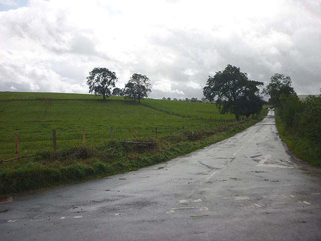
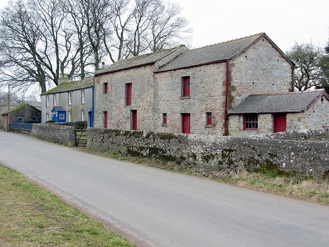
Barnskew Wood is a picturesque forest located in the county of Westmorland, England. This woodland area covers an approximate area of 100 acres and is known for its diverse range of flora and fauna. Situated near the village of Barnskew, the wood is easily accessible and attracts nature enthusiasts, hikers, and photographers throughout the year.

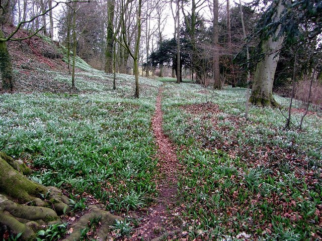
The wood is predominantly composed of broadleaf trees, including oak, beech, and ash, which form a dense canopy providing shelter to a variety of wildlife species. The forest floor is adorned with a vibrant carpet of bluebells during the spring, creating a stunning visual feast for visitors.

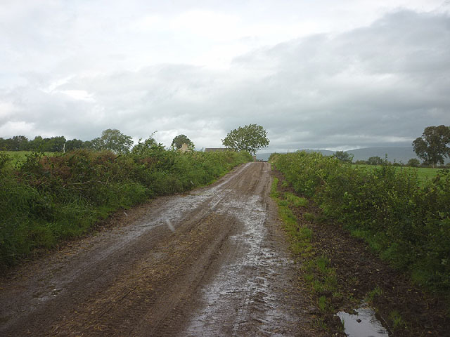
Several well-maintained trails meander through Barnskew Wood, offering visitors the opportunity to explore its beauty and tranquility. These paths lead to hidden nooks, babbling brooks, and small ponds, further adding to the charm of this woodland.

Wildlife enthusiasts are likely to spot numerous species of birds, such as woodpeckers, owls, and thrushes, along with small mammals like rabbits, squirrels, and foxes. The wood is also home to a diverse range of insects, including butterflies, beetles, and dragonflies.

Barnskew Wood is managed by a local conservation organization, ensuring the preservation of its natural beauty and protecting its inhabitants. The forest serves not only as a recreational area but also as an essential habitat for the local ecosystem, contributing to the overall biodiversity of the region.

Visiting Barnskew Wood provides an opportunity to immerse oneself in nature, enjoy its tranquility, and appreciate the wonders of the Westmorland countryside.

If you have any feedback on the listing, please let us know in the comments section below.

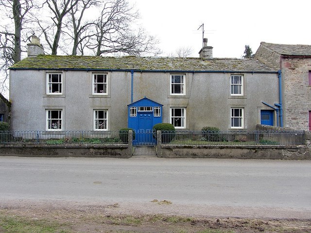
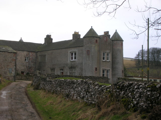
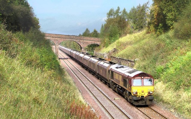
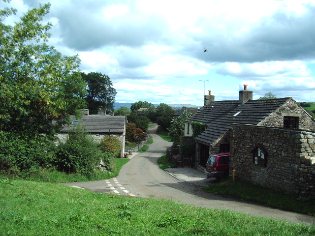
Barnskew Wood Images

Images are sourced within 2km of 54.480138/-2.4016973 or Grid Reference NY7409. Thanks to Geograph Open Source API. All images are credited.

Field track near Soulby
Former Church of St Luke, Soulby The church is Grade II listed <span class="nowrap"><a title="http://www.britishlistedbuildings.co.uk/en-73027-church-of-st-luke-soulby" rel="nofollow ugc noopener" href="http://www.britishlistedbuildings.co.uk/en-73027-church-of-st-luke-soulby">Link</a><img style="margin-left:2px;" alt="External link" title="External link - shift click to open in new window" src="https://s1.geograph.org.uk/img/external.png" width="10" height="10"/></span> but appears to be defunct as there is a for sale sign. It was built in 1663 and the 'wrought-iron weathercock has Musgrave arms and 1830 date' although I didn't notice this.
Former Church of St Luke, Soulby
The church is Grade II listed LinkExternal link but appears to be defunct as there is a for sale sign. It was built in 1663 and the 'wrought-iron weathercock has Musgrave arms and 1830 date' although I didn't notice this.
The road to Crosby Garrett west of Soulby
The track to Soulby Grange
Ordnance Survey  Flush Bracket 1245 This bracket can be found on the wall of the Methodist Chapel.
For more detail see : <span class="nowrap"><a title="http://www.bench-marks.org.uk/bm2398" rel="nofollow ugc noopener" href="http://www.bench-marks.org.uk/bm2398">Link</a><img style="margin-left:2px;" alt="External link" title="External link - shift click to open in new window" src="https://s1.geograph.org.uk/img/external.png" width="10" height="10"/></span>
Ordnance Survey Flush Bracket 1245
This bracket can be found on the wall of the Methodist Chapel. For more detail see : LinkExternal link
Ordnance Survey Cut Mark This mark can be found on the wall of St Lukes Church, Soulby.
For more detail see : <span class="nowrap"><a title="http://www.bench-marks.org.uk/bm43365" rel="nofollow ugc noopener" href="http://www.bench-marks.org.uk/bm43365">Link</a><img style="margin-left:2px;" alt="External link" title="External link - shift click to open in new window" src="https://s1.geograph.org.uk/img/external.png" width="10" height="10"/></span>
Ordnance Survey Cut Mark
This mark can be found on the wall of St Lukes Church, Soulby. For more detail see : LinkExternal link
St Lukes Church in Soulby The posts surrounding the green are to prevent travellers camping on their way to Appleby Horse Fair.
St Lukes Church in Soulby
The posts surrounding the green are to prevent travellers camping on their way to Appleby Horse Fair.
Posts on the Green The posts surrounding the green are to prevent travellers camping on their way to Appleby Horse Fair.
Posts on the Green
The posts surrounding the green are to prevent travellers camping on their way to Appleby Horse Fair.
Crossroads in Soulby
Scandal Beck at Soulby
Farm buildings by Scandal Beck, Soulby The old buildings on the bank of Scandal Beck close to Barney Scar below Denmark Hall.
Farm buildings by Scandal Beck, Soulby
The old buildings on the bank of Scandal Beck close to Barney Scar below Denmark Hall.
Soulby from the bridge
Children's playground and old school, Soulby
Woodland snowdrops, Soulby
Village pump, Soulby The Jubilee Pump, dated 1887 on commemorative plaque (erected for Queen Victoria's golden jubilee), is on site of a former well. It has a wooden pump case with lead spout and cast-iron handle. The pump is surrounded by a low circular drystone wall topped with weathered limestone. The structure is Grade II Listed.
<span class="nowrap"><a title="http://www.heritagegateway.org.uk/Gateway/Results_Single.aspx?resourceID=5&uid=1326957" rel="nofollow ugc noopener" href="http://www.heritagegateway.org.uk/Gateway/Results_Single.aspx?resourceID=5&uid=1326957">Link</a><img style="margin-left:2px;" alt="External link" title="External link - shift click to open in new window" src="https://s1.geograph.org.uk/img/external.png" width="10" height="10"/></span>
Village pump, Soulby
The Jubilee Pump, dated 1887 on commemorative plaque (erected for Queen Victoria's golden jubilee), is on site of a former well. It has a wooden pump case with lead spout and cast-iron handle. The pump is surrounded by a low circular drystone wall topped with weathered limestone. The structure is Grade II Listed. LinkExternal link
Belsey Gate House & outbuildings, Soulby
Belsey Gate House, Soulby
Show me another place!

Barnskew Wood is located at Grid Ref: NY7409 (Lat: 54.480138, Lng: -2.4016973)

Administrative County: Cumbria

District: Eden

Police Authority: Cumbria

What 3 Words

///they.vocal.remaining. Near Kirkby Stephen, Cumbria

Nearby Locations

Barnskew Wood Haber Hill

Related Wikis

St Andrew's Church, Crosby Garrett

St Andrew's Church is in the village of Crosby Garrett, Cumbria, England. It is an active Anglican parish church in the deanery of Appleby, the archdeaconry...

Crosby Garrett

Crosby Garrett is a hamlet and civil parish in the Eden District of Cumbria, England. It was formerly in the county of Westmorland. In the 2011 census...

Crosby Garrett Helmet

The Crosby Garrett Helmet is a copper alloy Roman cavalry helmet dating from the late 2nd or early 3rd century AD. It was found by an unnamed metal detectorist...

Smardale railway station

Smardale railway station was a minor station on the South Durham & Lancashire Union Railway between Tebay and Kirkby Stephen East. It served the villages...

Smardale

Smardale is a small village and former civil parish, now in the parish of Waitby, in the Eden district, in Cumbria, England. In 1891 the parish had a population...

Crosby Garrett railway station

Crosby Garrett was a railway station which served the village of Crosby Garrett in Cumbria, England. It was situated on the Settle-Carlisle Line 38+1⁄4...

Waitby

Waitby is a small village and civil parish in the Eden district of Cumbria, England. The parish contains two small villages, Waitby and Smardale, plus...

Soulby

Soulby is a village and civil parish in the Eden district of Cumbria, England. The parish had a population of 186 in 2001, increasing slightly to 187 at...

Nearby Amenities

Located within 500m of 54.480138,-2.4016973
Ford: yes
Lat/Long: 54.4834404/-2.3980265
Barnskew Hill
Ele: 218
Ele Ft: 716
Natural: peak
Lat/Long: 54.4809829/-2.4044474
Power: pole
Lat/Long: 54.4776849/-2.400677
Power: pole
Lat/Long: 54.4783375/-2.3997298
Power: pole
Lat/Long: 54.479005/-2.3987748
Power: pole
Lat/Long: 54.4797896/-2.39762
Power: pole
Lat/Long: 54.4805651/-2.3964949
Power: pole
Lat/Long: 54.481306/-2.3954054
Power: pole
Lat/Long: 54.4840596/-2.401114
Power: pole
Lat/Long: 54.4836472/-2.3997298
Power: pole
Lat/Long: 54.4832371/-2.3983299
Power: pole
Lat/Long: 54.4830119/-2.3971751
Power: pole
Lat/Long: 54.4825731/-2.3959234
The data included in this document is from www.openstreetmap.org. The data is made available under ODbL.

Have you been to Barnskew Wood?

Leave your review of Barnskew Wood below (or comments, questions and feedback).