Alder Covert
Wood, Forest in Shropshire
England
Alder Covert
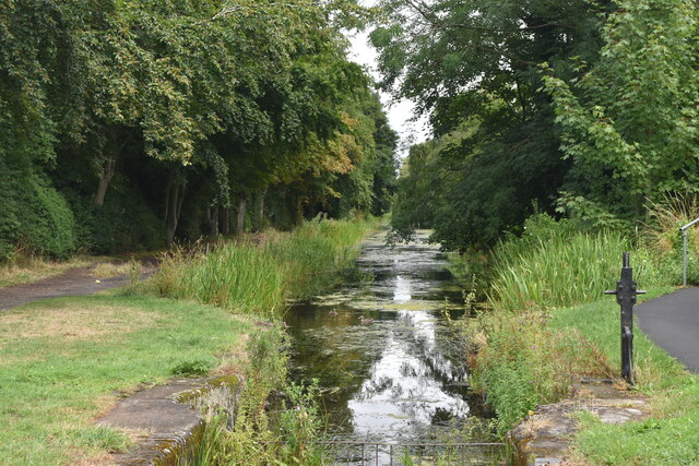
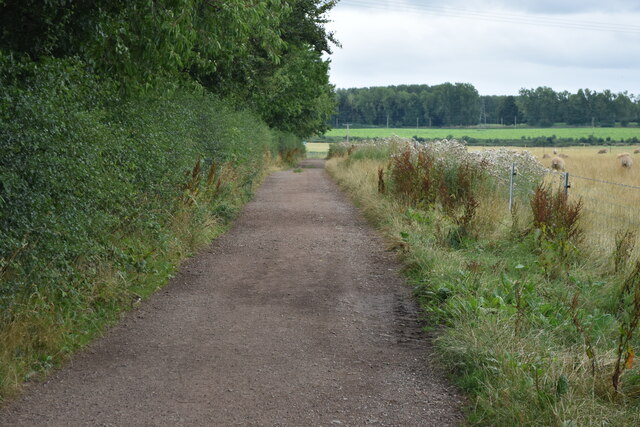
Alder Covert is a small woodland area located in the county of Shropshire, England. Situated in the heart of the region, it covers an area of approximately 10 acres and is predominantly made up of alder trees, hence its name. The woodland is part of the larger Shropshire Hills Area of Outstanding Natural Beauty, known for its picturesque landscapes and diverse wildlife.
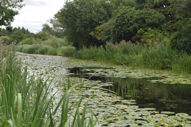
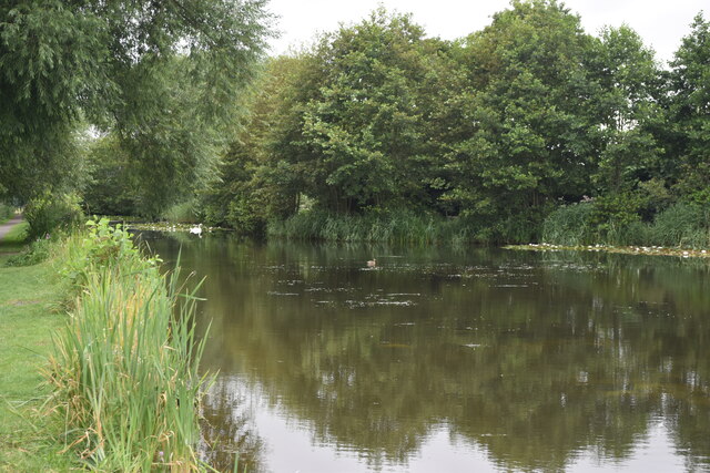
Alder Covert is characterized by its dense canopy of tall alder trees, creating a shady and tranquil environment. The woodland floor is covered in a thick layer of moss and leaf litter, providing a rich habitat for various plant species. Bluebells, primroses, and wild garlic are commonly found in the understory, adding bursts of color to the landscape during the spring months.
The woodland is also home to a variety of wildlife, including several species of birds such as woodpeckers, owls, and songbirds. Roe deer and foxes are often spotted in the area, silently navigating through the undergrowth. Alder Covert is also known for its diverse insect population, with butterflies, dragonflies, and beetles being common sights.
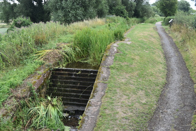
The woodland serves as an important recreational space for locals and visitors alike, offering opportunities for walking, birdwatching, and nature photography. Several footpaths and trails wind through the woods, providing easy access to its natural beauty. Alder Covert is a true gem within the Shropshire Hills, offering a peaceful retreat for those seeking a connection with nature.
If you have any feedback on the listing, please let us know in the comments section below.
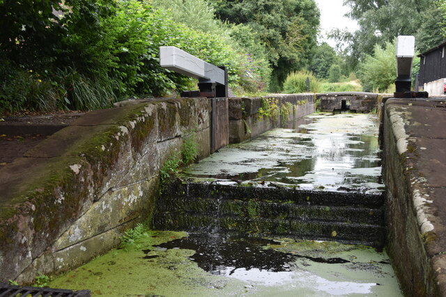
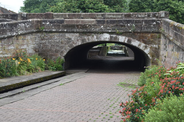
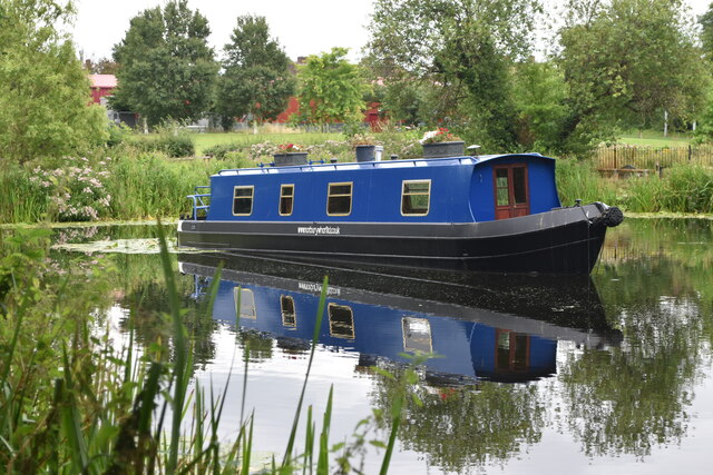
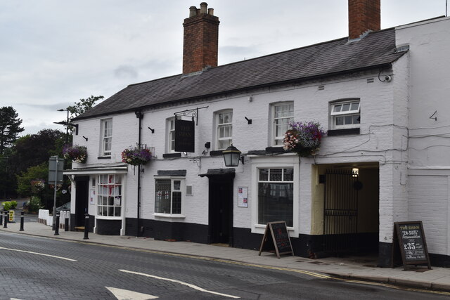
Alder Covert Images
Images are sourced within 2km of 52.778197/-2.3860337 or Grid Reference SJ7420. Thanks to Geograph Open Source API. All images are credited.


Alder Covert is located at Grid Ref: SJ7420 (Lat: 52.778197, Lng: -2.3860337)
Unitary Authority: Telford and Wrekin
Police Authority: West Mercia
What 3 Words
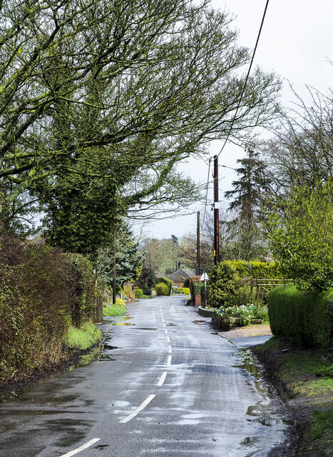
///invisible.blasted.shirt. Near Chetwynd, Shropshire
Nearby Locations
Related Wikis

St Peter and Paul Church, Newport
St. Peter and St. Paul Roman Catholic Church is a parish of the Roman Catholic Church in Newport, Shropshire, England. The parish covers Newport and the...
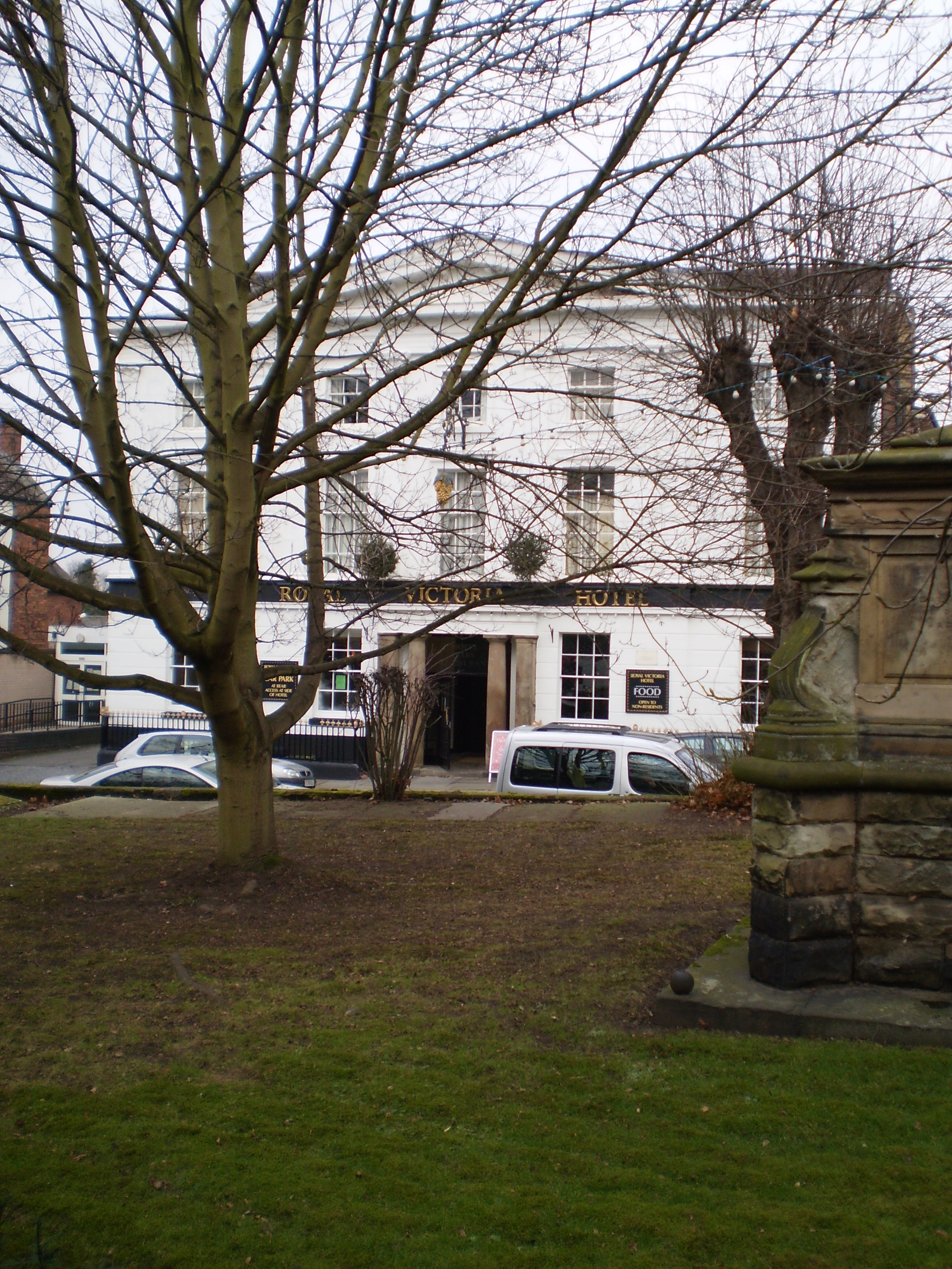
The Royal Victoria Hotel
The Royal Victoria Hotel is a former hotel situated in Newport, Shropshire. It dates back to 1830 and gains its name from Queen Victoria, who as Princess...

Haberdashers' Adams
Haberdashers' Adams Grammar School is a selective grammar school for high-achieving boys aged 11-18 and girls aged 16-18 with state boarding for boys only...
St Nicholas Church, Newport
St Nicholas's Church is an Anglican church in the market town of Newport, Shropshire, England lying within the Diocese of Lichfield. It is dedicated to...
Nearby Amenities
Located within 500m of 52.778197,-2.3860337Have you been to Alder Covert?
Leave your review of Alder Covert below (or comments, questions and feedback).