Cowley
Settlement in Oxfordshire Oxford
England
Cowley
Cowley is a suburban area located in Oxfordshire, England. Situated about two miles southeast of the city center of Oxford, Cowley is a thriving community with a rich history closely tied to the automotive industry.
Historically, Cowley was a village known for its agricultural activities. However, in the early 20th century, the area experienced significant industrialization with the establishment of the Morris Motors factory. This factory, later renamed as the Cowley Plant, became one of the largest employers in the region and played a significant role in the development of the British automotive industry.
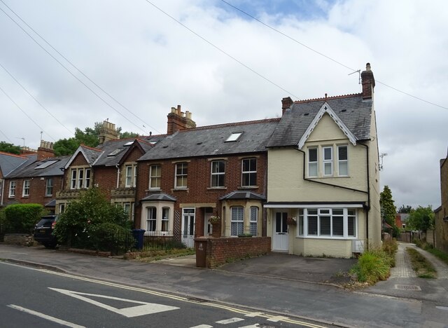
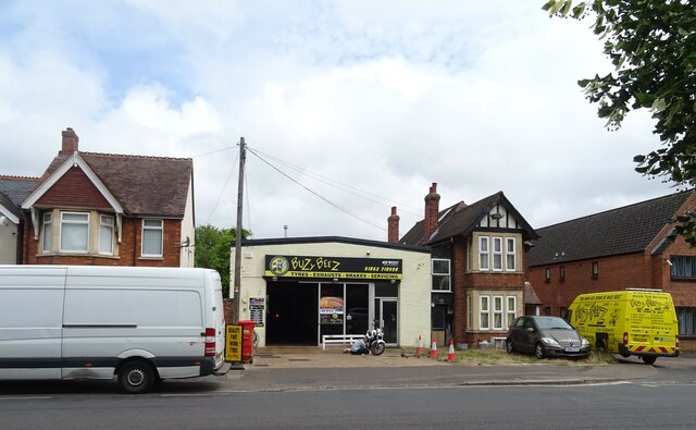
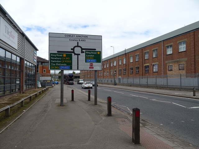
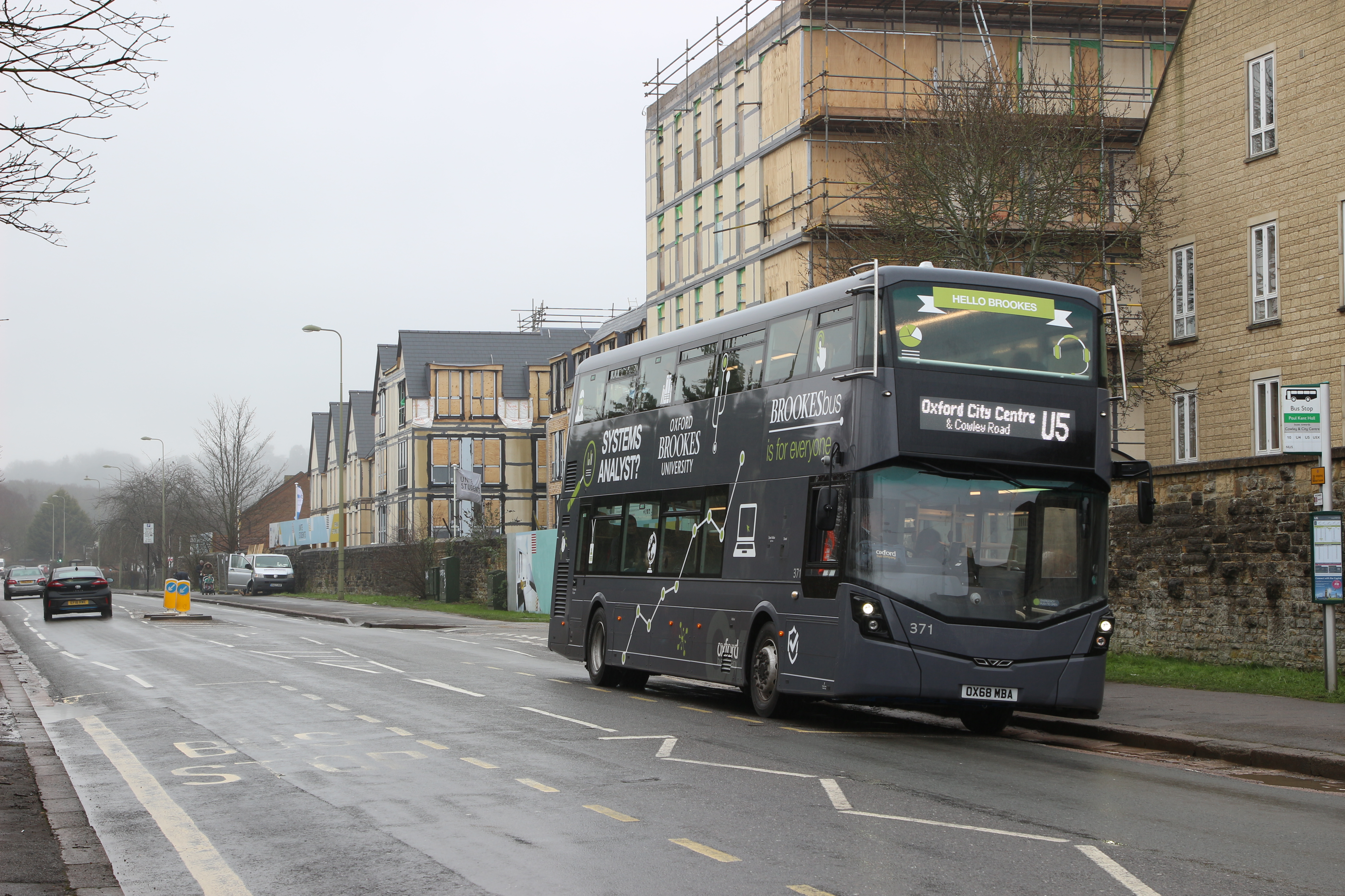
Today, Cowley is a mix of residential, commercial, and industrial areas. The Cowley Road, the main thoroughfare running through the area, is lined with various shops, restaurants, and cafes, reflecting the multicultural nature of the community. It has become a vibrant hub for students, professionals, and families alike.
The area is also home to several notable landmarks. The Mini Plant Oxford, located in Cowley, is where the iconic Mini cars are manufactured. Visitors can take guided tours to witness the production process and learn about the history of this famous automobile.
Cowley also boasts excellent transportation links, with frequent bus services connecting the area to Oxford city center and surrounding towns. Additionally, the nearby Oxford Business Park provides employment opportunities for many local residents.
Overall, Cowley offers a unique blend of history, industrial heritage, and modern amenities, making it a desirable place to live, work, and visit in Oxfordshire.
If you have any feedback on the listing, please let us know in the comments section below.
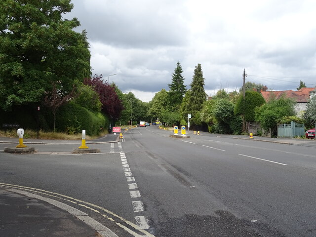
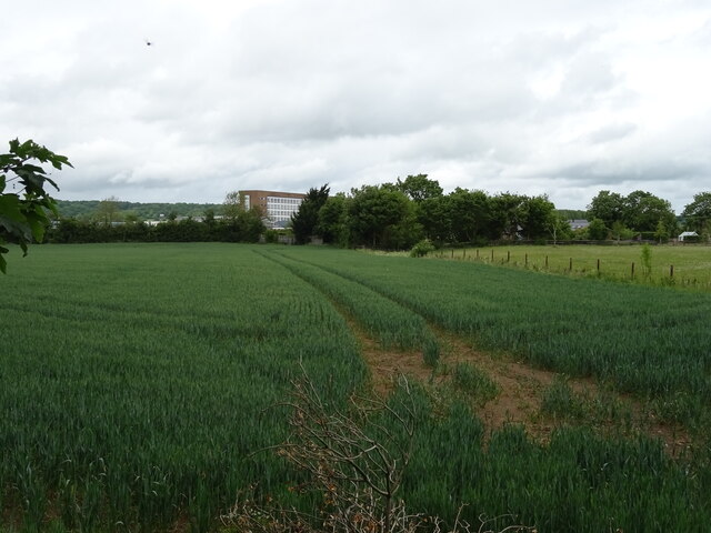
Cowley Images
Images are sourced within 2km of 51.735114/-1.203503 or Grid Reference SP5504. Thanks to Geograph Open Source API. All images are credited.


Cowley is located at Grid Ref: SP5504 (Lat: 51.735114, Lng: -1.203503)
Administrative County: Oxfordshire
District: Oxford
Police Authority: Thames Valley
What 3 Words
///yard.grass.tiger. Near Cowley, Oxfordshire
Nearby Locations
Related Wikis

Magna Carta College
Magna Carta College (also known as Magna Carta College, Oxford and formerly as GBSO) is an independent business school in Oxford, United Kingdom. ��2...

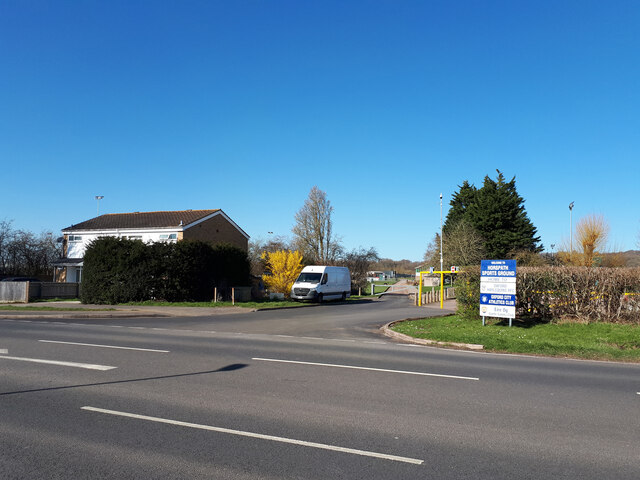
Morris Motors Sports Ground
Morris Motors Sports Ground was a cricket ground in Cowley, Oxfordshire. The ground was built and initially owned by Morris Motors in the 1920s, under...

Oxford Military College
Oxford Military College was an all-male private boarding school and military academy in Cowley, Oxford, England, from 1876 to 1896. The military college...
Heart Oxfordshire
Heart Oxfordshire (formerly Fox FM) was an Independent Local Radio station broadcasting to Oxfordshire on 102.6 MHz FM from the Oxford transmitting station...
Bullingdon Green
Bullingdon Green was a cricket ground south of Oxford, England. It was associated with the Bullingdon Club and was an important site in the early history...
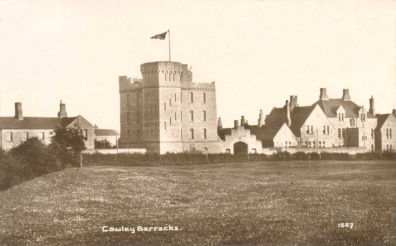
Cowley Barracks
Cowley Barracks (originally Bullingdon Barracks) was a military installation in Cowley, Oxfordshire, England. == History == The barracks were built in...
Cowley, Oxfordshire
Cowley () is a residential and industrial area in Oxford, England. Cowley's neighbours are Rose Hill and Blackbird Leys to the south, Headington to the...

Morris Cowley railway station
Morris Cowley was an intermediate station on the Wycombe Railway which served the small town of Cowley, just outside Oxford, from 1908 to 1915, and again...
Nearby Amenities
Located within 500m of 51.735114,-1.203503Have you been to Cowley?
Leave your review of Cowley below (or comments, questions and feedback).