Hardington Plantation

Wood, Forest in Somerset Mendip

England

Hardington Plantation

Old Milestone by A366, North of Hemington, just West of Crossroads The Milestone is located on grass verge on the South of the road.  Parish of Hemington (Mendip District). Metal plate attached to stone post, Radstock iron plate design, erected by the Radstock turnpike trust in the 18th century, top right corner of plate gone; chips on top left of stone. An earlier photograph can be found here: <a title="https://www.geograph.org.uk/photo/6035396" href="https://www.geograph.org.uk/photo/6035396">Link</a> 

Inscription reads:-  
RADSTOCK / 3 / P. NORTON / 3   

Grade II listed. List Entry Number: 1408656 <span class="nowrap"><a title="https://historicengland.org.uk/listing/the-list/list-entry/1408656" rel="nofollow ugc noopener" href="https://historicengland.org.uk/listing/the-list/list-entry/1408656">Link</a><img style="margin-left:2px;" alt="External link" title="External link - shift click to open in new window" src="https://s1.geograph.org.uk/img/external.png" width="10" height="10"/></span> 

Milestone Society National ID: SO_FRPN11
Old Milestone by A366, North of Hemington, just West of Crossroads Credit: Janet Dowding

Hardington Plantation, located in Somerset, England, is a picturesque woodland area known for its abundant natural beauty. Spanning over a vast area, the plantation is densely populated with a variety of trees, creating a dense and enchanting forest. Its location in Somerset, a region renowned for its scenic landscapes, adds to its allure.

The plantation boasts a diverse range of tree species, including oak, beech, and ash, among others. These towering trees provide a rich canopy that filters sunlight, creating a cool and tranquil environment within the forest. The undergrowth is lush and vibrant, with ferns, wildflowers, and mosses carpeting the forest floor.

Hardington Plantation is home to a wide array of wildlife, making it a popular spot for nature enthusiasts and birdwatchers. Various bird species, such as woodpeckers, owls, and songbirds, can be spotted among the trees, filling the air with their melodic tunes. Other creatures, including squirrels, rabbits, and deer, can also be glimpsed as they go about their daily activities.

Visitors to Hardington Plantation can explore the numerous walking trails that crisscross through the forest, allowing them to immerse themselves in its tranquil ambiance. The plantation is also a popular destination for outdoor activities, such as picnicking, camping, and photography.

Hardington Plantation offers a serene and idyllic escape from the hustle and bustle of everyday life. Its natural beauty, diverse flora and fauna, and tranquil atmosphere make it a must-visit destination for nature lovers and those seeking a peaceful retreat in the heart of Somerset.

If you have any feedback on the listing, please let us know in the comments section below.

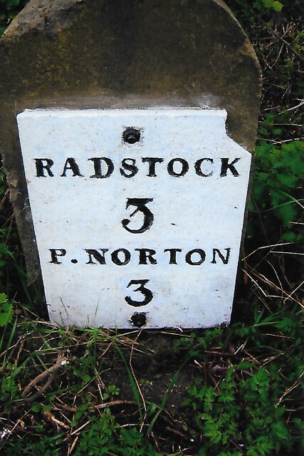
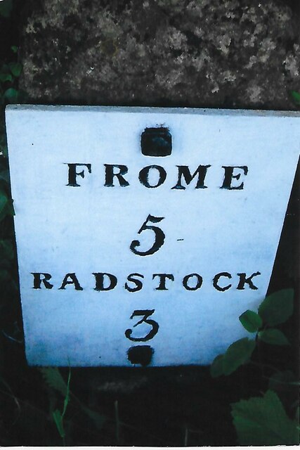
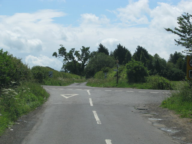
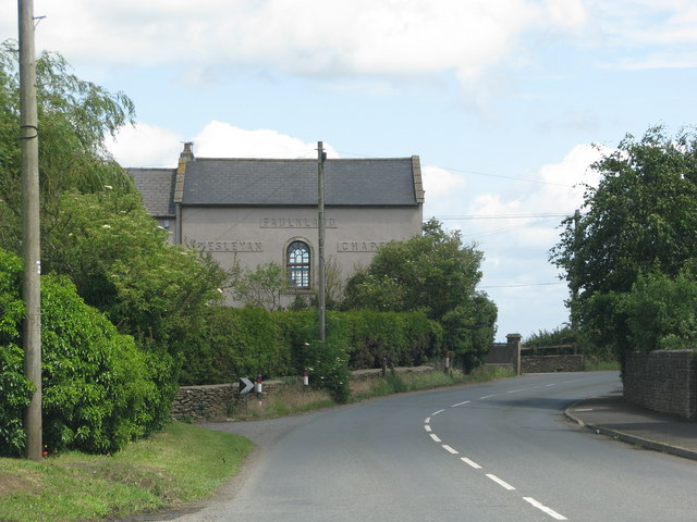
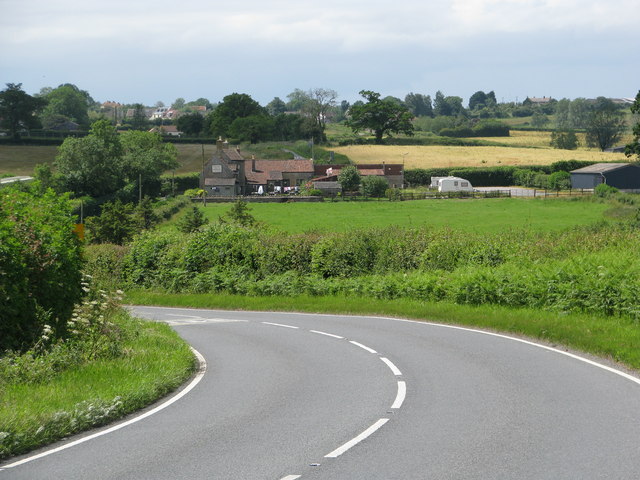
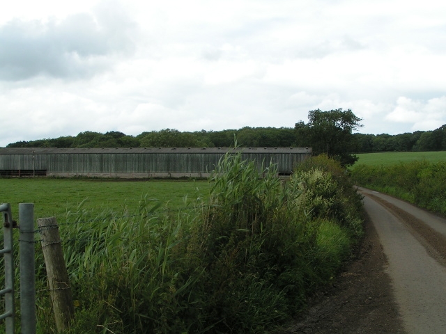
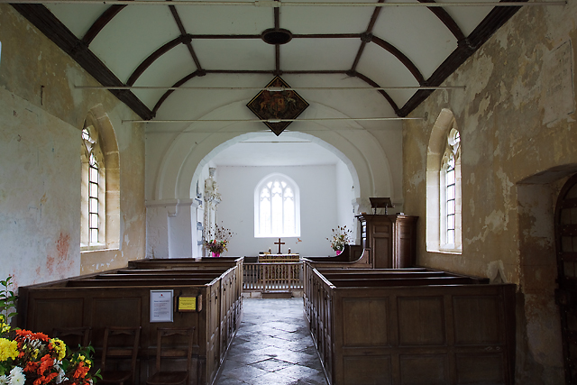
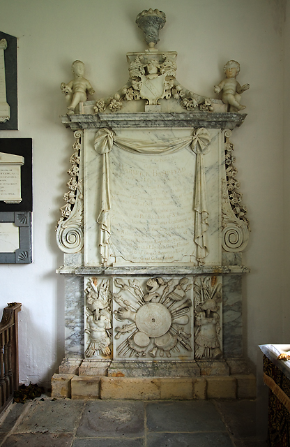
Hardington Plantation Images

Images are sourced within 2km of 51.277964/-2.3748961 or Grid Reference ST7353. Thanks to Geograph Open Source API. All images are credited.

Old Milestone by A366, North of Hemington, just West of Crossroads The Milestone is located on grass verge on the South of the road.  Parish of Hemington (Mendip District). Metal plate attached to stone post, Radstock iron plate design, erected by the Radstock turnpike trust in the 18th century, top right corner of plate gone; chips on top left of stone. An earlier photograph can be found here: <a title="https://www.geograph.org.uk/photo/6035396" href="https://www.geograph.org.uk/photo/6035396">Link</a> 

Inscription reads:-  
RADSTOCK / 3 / P. NORTON / 3   

Grade II listed. List Entry Number: 1408656 <span class="nowrap"><a title="https://historicengland.org.uk/listing/the-list/list-entry/1408656" rel="nofollow ugc noopener" href="https://historicengland.org.uk/listing/the-list/list-entry/1408656">Link</a><img style="margin-left:2px;" alt="External link" title="External link - shift click to open in new window" src="https://s1.geograph.org.uk/img/external.png" width="10" height="10"/></span> 

Milestone Society National ID: SO_FRPN11
Old Milestone by A366, North of Hemington, just West of Crossroads
The Milestone is located on grass verge on the South of the road.  Parish of Hemington (Mendip District). Metal plate attached to stone post, Radstock iron plate design, erected by the Radstock turnpike trust in the 18th century, top right corner of plate gone; chips on top left of stone. An earlier photograph can be found here: Link  Inscription reads:- RADSTOCK / 3 / P. NORTON / 3 Grade II listed. List Entry Number: 1408656 LinkExternal link Milestone Society National ID: SO_FRPN11
Old Milestone by A362, Buckland Down, North of Lodge to Ammerdown Park The Milestone is located on grass verge on the West of the road.  Parish of Hemington (Mendip  District). Metal plate attached to stone post, Radstock iron plate design, erected by the Radstock turnpike trust in the 18th century. Re-erected after being uprooted in 2001; repainted by a member of the public. An earlier photograph can be found here: <a title="https://www.geograph.org.uk/photo/6060915" href="https://www.geograph.org.uk/photo/6060915">Link</a> 

Inscription reads:-   
FROME / 5 / RADSTOCK / 3 

Grade II listed. List Entry Number: 1175774 <span class="nowrap"><a title="https://historicengland.org.uk/listing/the-list/list-entry/1175774" rel="nofollow ugc noopener" href="https://historicengland.org.uk/listing/the-list/list-entry/1175774">Link</a><img style="margin-left:2px;" alt="External link" title="External link - shift click to open in new window" src="https://s1.geograph.org.uk/img/external.png" width="10" height="10"/></span> 

Milestone Society National ID: SO_FRRS05
Old Milestone by A362, Buckland Down, North of Lodge to Ammerdown Park
The Milestone is located on grass verge on the West of the road.  Parish of Hemington (Mendip District). Metal plate attached to stone post, Radstock iron plate design, erected by the Radstock turnpike trust in the 18th century. Re-erected after being uprooted in 2001; repainted by a member of the public. An earlier photograph can be found here: Link  Inscription reads:- FROME / 5 / RADSTOCK / 3 Grade II listed. List Entry Number: 1175774 LinkExternal link Milestone Society National ID: SO_FRRS05
Road from Foxcote meets the A366
The A366 leaves Faulkland past a converted chapel
The A366 drops down the hill towards Tucker's Bottom
Cowshed on Cock Road
St Mary's church, Hardington Bampfylde (interior) Belying the building's Norman origins is an interior that looks distinctly Georgian. The pulpit and altar rails are of the late C18, whilst the box pews are early C19; it followed much rebuilding in the early C17. The Royal Arms of Charles I above the chancel arch was repainted in 1817. The 'wonky' chancel arch itself is possibly Norman, whilst the nave is late C14. This little church sits amongst modern farm buildings and is now cared for by the Churches Conservation Trust.
St Mary's church, Hardington Bampfylde (interior)
Belying the building's Norman origins is an interior that looks distinctly Georgian. The pulpit and altar rails are of the late C18, whilst the box pews are early C19; it followed much rebuilding in the early C17. The Royal Arms of Charles I above the chancel arch was repainted in 1817. The 'wonky' chancel arch itself is possibly Norman, whilst the nave is late C14. This little church sits amongst modern farm buildings and is now cared for by the Churches Conservation Trust.
St Mary's church, Hardington Bampfylde - Bampfylde monument This fine wall monument to Colonel Warwick Bampfylde (†1694) in the chancel stands 12 feet tall. As well as the Colonel, the memorial inscription also commemorates three further generations of the Bampfylde family.
St Mary's church, Hardington Bampfylde - Bampfylde monument
This fine wall monument to Colonel Warwick Bampfylde (†1694) in the chancel stands 12 feet tall. As well as the Colonel, the memorial inscription also commemorates three further generations of the Bampfylde family.
Blessed Virgin Mary, Hemington
FAULKLAND, Hemington, Somerset The former Wesleyan Chapel was converted into a house recently
FAULKLAND, Hemington, Somerset
The former Wesleyan Chapel was converted into a house recently
HARDINGTON,  Somerset This small redundant church is in the care of the Churches Conservation Trust
HARDINGTON, Somerset
This small redundant church is in the care of the Churches Conservation Trust
Blessed Virgin Mary, Hemington
Hemington: Faulkland Looking west-north-west to houses on the green at Faulkland. Seen from the A366 road
Hemington: Faulkland
Looking west-north-west to houses on the green at Faulkland. Seen from the A366 road
Hemington: near Faulkland Looking east-south-east towards cottages on the A366 Norton St Philip road. The Westbury White Horse is just visible on the far hill, over the border in Wiltshire
Hemington: near Faulkland
Looking east-south-east towards cottages on the A366 Norton St Philip road. The Westbury White Horse is just visible on the far hill, over the border in Wiltshire
Entrance to Pillar Lane A view looking east along the A362 towards the pillars at the entrance to Pillar Lane to Hardington.
Entrance to Pillar Lane
A view looking east along the A362 towards the pillars at the entrance to Pillar Lane to Hardington.
Farmland off  Pillar Lane A view looking to the east from Pillar Lane, over farmland and Buckland Wood. The newly painted Westbury White Horse can be seen on the edge of Salisbury Plain in the distance.
Farmland off Pillar Lane
A view looking to the east from Pillar Lane, over farmland and Buckland Wood. The newly painted Westbury White Horse can be seen on the edge of Salisbury Plain in the distance.
Pillar Lane A view looking north along Pillar Lane towards a small barn.
Pillar Lane
A view looking north along Pillar Lane towards a small barn.
View to Pond Farm A view looking to the northwest from Pillar Lane, over farmland towards Pond Farm, hidden in the trees just right of centre.
View to Pond Farm
A view looking to the northwest from Pillar Lane, over farmland towards Pond Farm, hidden in the trees just right of centre.
Show me another place!

Hardington Plantation is located at Grid Ref: ST7353 (Lat: 51.277964, Lng: -2.3748961)

Administrative County: Somerset

District: Mendip

Police Authority: Avon and Somerset

What 3 Words

///irrigated.fire.iron. Near Wellow, Somerset

Related Wikis

Hemington, Somerset

Hemington is a village and civil parish 5.5 miles (8.9 km) north west of Frome, in the Mendip district of Somerset, England. It is located just off the...

St Mary's Church, Hemington

St. Mary's Hemington is an Anglican church in Hemington, Somerset, England. The Norman church underwent major renovation in the 14th, 15th, 17th and 19th...

Buckland Dinham

Buckland Dinham is a small village near Frome in Somerset, England. The village has a population of 381. The village's main industry is farming (arable...

Kingsdown Camp

Kingsdown Camp is an Iron Age hillfort at Buckland Dinham 4.5 kilometres (3 mi) South East of Radstock, Somerset, England. It is a Scheduled Monument....

Have you been to Hardington Plantation?

Leave your review of Hardington Plantation below (or comments, questions and feedback).