South Elms Wood

Wood, Forest in Gloucestershire

England

South Elms Wood

Cut Mark: Wickwar, Church of the Holy Trinity A faint cut bench mark on the east face of the entrance porch.  See <a title="https://www.geograph.org.uk/photo/7073192" href="https://www.geograph.org.uk/photo/7073192">Link</a> for a wider view and <span class="nowrap"><a title="https://www.bench-marks.org.uk/bm56987" rel="nofollow ugc noopener" href="https://www.bench-marks.org.uk/bm56987">Link</a><img style="margin-left:2px;" alt="External link" title="External link - shift click to open in new window" src="https://s1.geograph.org.uk/img/external.png" width="10" height="10"/></span> for details of the mark.
Cut Mark: Wickwar, Church of the Holy Trinity Credit: Brian Westlake

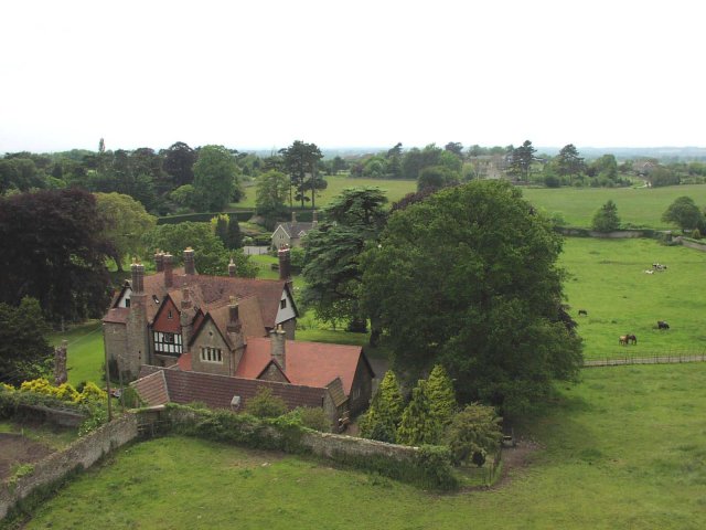
South Elms Wood is a picturesque forest located in Gloucestershire, England. Covering an area of approximately 200 acres, it is a popular destination for nature enthusiasts and outdoor adventurers alike. The wood is characterized by its dense canopy of mature trees, which includes a mix of deciduous and coniferous species such as oak, beech, and pine.

The forest offers a tranquil and serene atmosphere, making it an ideal place for recreational activities such as walking, hiking, and birdwatching. The well-marked trails that weave through the wood provide visitors with opportunities to explore its diverse flora and fauna. Bird lovers will be delighted to spot a variety of species, including woodpeckers, thrushes, and owls.

South Elms Wood is also home to a rich biodiversity. The forest floor is carpeted with an array of wildflowers, ferns, and mosses, providing a habitat for numerous insects and small mammals. Squirrels, rabbits, and deer are commonly spotted among the trees, adding to the enchanting ambiance.

In addition to its natural beauty, the wood has historical significance. It has been a part of the local landscape for centuries and has witnessed various changes throughout history. Today, it stands as a protected area, ensuring the preservation of its ecological value.

Overall, South Elms Wood offers a serene escape from the hustle and bustle of everyday life. Its lush vegetation, diverse wildlife, and peaceful ambiance make it a perfect destination for nature lovers seeking solace in the heart of Gloucestershire.

If you have any feedback on the listing, please let us know in the comments section below.

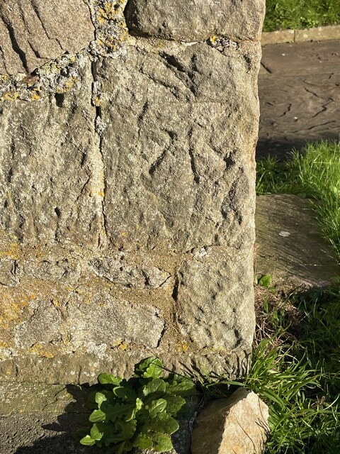
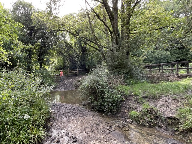
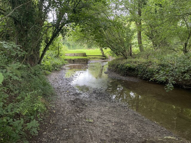
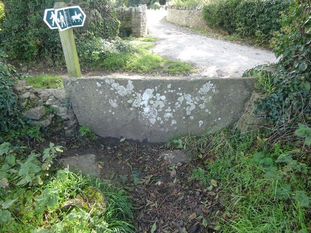
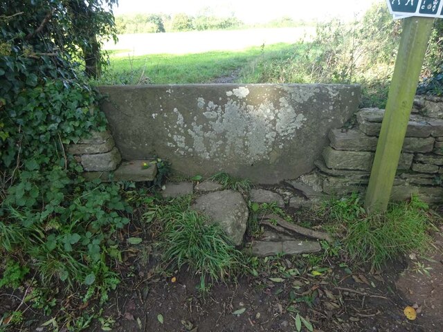
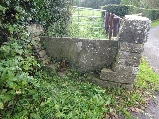
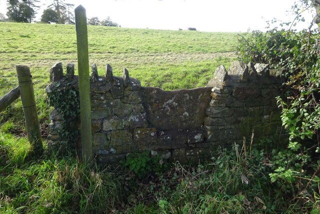
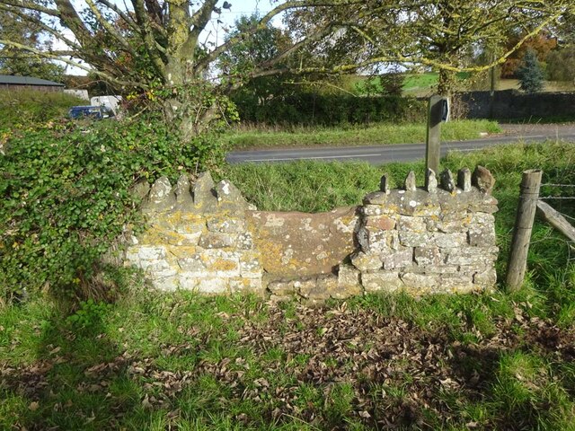
South Elms Wood Images

Images are sourced within 2km of 51.593007/-2.3792179 or Grid Reference ST7388. Thanks to Geograph Open Source API. All images are credited.

Cut Mark: Wickwar, Church of the Holy Trinity A faint cut bench mark on the east face of the entrance porch.  See <a title="https://www.geograph.org.uk/photo/7073192" href="https://www.geograph.org.uk/photo/7073192">Link</a> for a wider view and <span class="nowrap"><a title="https://www.bench-marks.org.uk/bm56987" rel="nofollow ugc noopener" href="https://www.bench-marks.org.uk/bm56987">Link</a><img style="margin-left:2px;" alt="External link" title="External link - shift click to open in new window" src="https://s1.geograph.org.uk/img/external.png" width="10" height="10"/></span> for details of the mark.
Cut Mark: Wickwar, Church of the Holy Trinity
A faint cut bench mark on the east face of the entrance porch. See Link for a wider view and LinkExternal link for details of the mark.
Wickwar, Church of the Holy Trinity There is a faint cut bench mark around the left-hand angle of the entrance porch.  See <a title="https://www.geograph.org.uk/photo/7073187" href="https://www.geograph.org.uk/photo/7073187">Link</a> for a closer view and <span class="nowrap"><a title="https://www.bench-marks.org.uk/bm56987" rel="nofollow ugc noopener" href="https://www.bench-marks.org.uk/bm56987">Link</a><img style="margin-left:2px;" alt="External link" title="External link - shift click to open in new window" src="https://s1.geograph.org.uk/img/external.png" width="10" height="10"/></span> for details of the mark.
Wickwar, Church of the Holy Trinity
There is a faint cut bench mark around the left-hand angle of the entrance porch. See Link for a closer view and LinkExternal link for details of the mark.
Toll House, B4060 Wickwar Tollgate Cottage, on the NW side of the road. Originally served the Kingswood Turnpike Trust.

Milestone Society National ID: AV.WIC01
Toll House, B4060 Wickwar
Tollgate Cottage, on the NW side of the road. Originally served the Kingswood Turnpike Trust. Milestone Society National ID: AV.WIC01
Toll House, B4060 Wickwar On Station Road, South of the road "Turnpike Gate". Originally serving the Kingswood Turnpike Trust.

Milestone Society National ID: AV.WIC02
Toll House, B4060 Wickwar
On Station Road, South of the road "Turnpike Gate". Originally serving the Kingswood Turnpike Trust. Milestone Society National ID: AV.WIC02
Ford on Little Avon River This ford on the Little Avon River at Wickwar is found beside Sturt Bridge which is known locally as Roman Bridge as it is on the route of a Roman road. A video of the ford can be viewed at:
<span class="nowrap"><a title="https://youtu.be/Mcgc6bxe6-o" rel="nofollow ugc noopener" href="https://youtu.be/Mcgc6bxe6-o">Link</a><img style="margin-left:2px;" alt="External link" title="External link - shift click to open in new window" src="https://s1.geograph.org.uk/img/external.png" width="10" height="10"/></span>
Ford on Little Avon River
This ford on the Little Avon River at Wickwar is found beside Sturt Bridge which is known locally as Roman Bridge as it is on the route of a Roman road. A video of the ford can be viewed at: LinkExternal link
Lower Wood Ford This ford is found in Lower Wood Nature Reserve a short walk down from the carpark.
Lower Wood Ford
This ford is found in Lower Wood Nature Reserve a short walk down from the carpark.
Ford on Little Avon River This ford is on a Cross Country Course at Castle Farm near Wickwar. A video of the ford taken on an Open Day can be viewed at:
<span class="nowrap"><a title="https://youtu.be/RLzip8NqFQU" rel="nofollow ugc noopener" href="https://youtu.be/RLzip8NqFQU">Link</a><img style="margin-left:2px;" alt="External link" title="External link - shift click to open in new window" src="https://s1.geograph.org.uk/img/external.png" width="10" height="10"/></span>
Ford on Little Avon River
This ford is on a Cross Country Course at Castle Farm near Wickwar. A video of the ford taken on an Open Day can be viewed at: LinkExternal link
Stone Stile, Wickwar Off Church Lane on Gloucestershire footpath LWR/9/30 looking SE to the church car park.
The view back is <a href="https://www.geograph.org.uk/photo/7624641">ST7289 : Stone Stile, Wickwar</a>.
Stone Stile, Wickwar
Off Church Lane on Gloucestershire footpath LWR/9/30 looking SE to the church car park. The view back is ST7289 : Stone Stile, Wickwar.
Stone Stile, Wickwar Off Church Lane on  Gloucestershire footpath LWR/9/30 looking NW from the entrance to the church car park.
The view looking back is <a href="https://www.geograph.org.uk/photo/7624639">ST7289 : Stone Stile, Wickwar</a>.
Stone Stile, Wickwar
Off Church Lane on Gloucestershire footpath LWR/9/30 looking NW from the entrance to the church car park. The view looking back is ST7289 : Stone Stile, Wickwar.
Stone Stile, Wickwar On  Gloucestershire footpath LWR/14/10 looking to Church Lane.
The view NE looking at a fairly well locked gate, (naughty farmer)  is <a href="https://www.geograph.org.uk/photo/7624653">ST7288 : Stone Stile, Wickwar</a>.
Stone Stile, Wickwar
On Gloucestershire footpath LWR/14/10 looking to Church Lane. The view NE looking at a fairly well locked gate, (naughty farmer) is ST7288 : Stone Stile, Wickwar.
Stone Stile, Wickwar On  Gloucestershire footpath LWR/14/10 looking NE at a fairly well locked gate, naughty farmer!
The view looking to Church Lane is <a href="https://www.geograph.org.uk/photo/7624651">ST7288 : Stone Stile, Wickwar</a>.
Stone Stile, Wickwar
On Gloucestershire footpath LWR/14/10 looking NE at a fairly well locked gate, naughty farmer! The view looking to Church Lane is ST7288 : Stone Stile, Wickwar.
Stone Stile, Wickwar On Gloucestershire footpath LWR/6/10 opposite Church Lane, looking SW to West End.
The view looking NE to "the Downs" (road) is <a href="https://www.geograph.org.uk/photo/7640751">ST7288 : Stone Stile, Wickwar</a>.
Stone Stile, Wickwar
On Gloucestershire footpath LWR/6/10 opposite Church Lane, looking SW to West End. The view looking NE to "the Downs" (road) is ST7288 : Stone Stile, Wickwar.
Stone Stile, Wickwar On Gloucestershire footpath LWR/6/10 opposite Church Lane, looking NE to "the Downs" (road).
The view looking SW to West End is <a href="https://www.geograph.org.uk/photo/7640749">ST7288 : Stone Stile, Wickwar</a>.
Stone Stile, Wickwar
On Gloucestershire footpath LWR/6/10 opposite Church Lane, looking NE to "the Downs" (road). The view looking SW to West End is ST7288 : Stone Stile, Wickwar.
Wickwar Parish Church The Parish Church of the Holy Trinity is set on a small hill and is of 12th century origin. It was extensively remodelled in the 14th and 15th centuries and was restored c.1881 by W L Bernard.
Wickwar Parish Church
The Parish Church of the Holy Trinity is set on a small hill and is of 12th century origin. It was extensively remodelled in the 14th and 15th centuries and was restored c.1881 by W L Bernard.
View from the top of the tower of Wickwar Church The walls around the house are the remains of a Saxon  walled settlement.
View from the top of the tower of Wickwar Church
The walls around the house are the remains of a Saxon walled settlement.
Sturt Bridge Hidden away in the valley below the village but well known to locals.  You can find it by walking down Poplar Lane.
Sturt Bridge
Hidden away in the valley below the village but well known to locals. You can find it by walking down Poplar Lane.
Railway Viaduct Wickwar Carries the main Gloucester to Bristol line.  There used to be a station in Wickwar but it has long since closed.  Shortly after the bridge the line plunges into a tunnel which takes it under the church.
Railway Viaduct Wickwar
Carries the main Gloucester to Bristol line. There used to be a station in Wickwar but it has long since closed. Shortly after the bridge the line plunges into a tunnel which takes it under the church.
Wickwar Brewery A small but highly regarded brewery making real ale.  The locals recommend BOB (Brand Oak Bitter)
Wickwar Brewery
A small but highly regarded brewery making real ale. The locals recommend BOB (Brand Oak Bitter)
Show me another place!

South Elms Wood is located at Grid Ref: ST7388 (Lat: 51.593007, Lng: -2.3792179)

Unitary Authority: South Gloucestershire

Police Authority: Avon and Somerset

What 3 Words

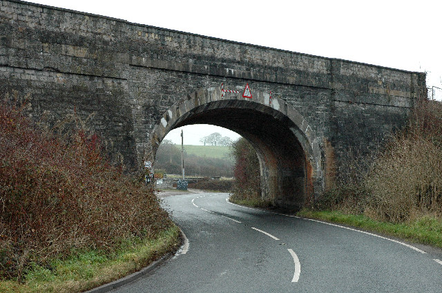
///eyeful.lamps.hound. Near Wickwar, Gloucestershire

Related Wikis

Lower Woods

Lower Woods (grid reference ST743876) is a 280.1-hectare (692-acre) biological and geological Site of Special Scientific Interest near the village of Wickwar...

Bishop's Hill Wood

Bishop's Hill Wood (grid reference ST733873) is a 30.6 hectares (76 acres) biological Site of Special Scientific Interest (SSSI) in England. It lies just...
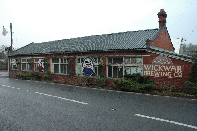
Wickwar

Wickwar is a village and civil parish in Gloucestershire, England, located between Yate and Charfield. At the 2001 census, the parish had a population...

Wickwar railway station

Wickwar railway station served the village of Wickwar in South Gloucestershire, England. The station was on the Bristol and Gloucester Railway, originally...

Hawkesbury Meadow

Hawkesbury Meadow (grid reference ST754874) is a 3.3 hectare biological Site of Special Scientific Interest (SSSI) in South Gloucestershire, notified in...

Yarley Meadows

Yarley Meadows (grid reference ST757888) is a 12.2-hectare (30-acre) biological Site of Special Scientific Interest in Gloucestershire, England, notified...

Church of St Mary, Hawkesbury

The Church of St Mary in Hawkesbury, South Gloucestershire, England was built in the 12th century. It is a Grade I listed building. == History == The church...

Hillesley

Hillesley is a village in Gloucestershire, England. It was transferred from the county of Avon in 1991 and is now in Stroud District. The village forms...

Nearby Amenities

Located within 500m of 51.593007,-2.3792179
Information: guidepost
Ref: 12
Source: survey
Tourism: information
Lat/Long: 51.5926083/-2.3738199
Information: guidepost
Ref: 11
Source: survey
Tourism: information
Lat/Long: 51.5928203/-2.3748567
Information: guidepost
Ref: 13
Source: survey
Tourism: information
Lat/Long: 51.5914181/-2.3744388
Information: guidepost
Ref: 15
Source: survey
Tourism: information
Lat/Long: 51.5909905/-2.3745569
Information: guidepost
Ref: 14
Source: survey
Tourism: information
Lat/Long: 51.5911489/-2.3745717
Information: guidepost
Ref: 8
Source: survey
Tourism: information
Lat/Long: 51.5935905/-2.374021
Information: guidepost
Ref: 10
Source: survey
Tourism: information
Lat/Long: 51.593872/-2.375444
Information: guidepost
Ref: 9
Source: survey
Tourism: information
Lat/Long: 51.5939732/-2.3753397
Fixme: incomplete
Lat/Long: 51.5936851/-2.3740289
Fixme: incomplete
Lat/Long: 51.5937533/-2.3755874
Fixme: incomplete
Lat/Long: 51.5940093/-2.3757228
Power: pole
Lat/Long: 51.5939184/-2.3860893
Power: pole
Lat/Long: 51.5931304/-2.3858311
Power: pole
Lat/Long: 51.5915787/-2.3853436
Power: pole
Lat/Long: 51.5908897/-2.3851341
The data included in this document is from www.openstreetmap.org. The data is made available under ODbL.

Have you been to South Elms Wood?

Leave your review of South Elms Wood below (or comments, questions and feedback).