Sturt Brake

Wood, Forest in Gloucestershire

England

Sturt Brake

Cut Mark: Wickwar, Church of the Holy Trinity A faint cut bench mark on the east face of the entrance porch.  See <a title="https://www.geograph.org.uk/photo/7073192" href="https://www.geograph.org.uk/photo/7073192">Link</a> for a wider view and <span class="nowrap"><a title="https://www.bench-marks.org.uk/bm56987" rel="nofollow ugc noopener" href="https://www.bench-marks.org.uk/bm56987">Link</a><img style="margin-left:2px;" alt="External link" title="External link - shift click to open in new window" src="https://s1.geograph.org.uk/img/external.png" width="10" height="10"/></span> for details of the mark.
Cut Mark: Wickwar, Church of the Holy Trinity Credit: Brian Westlake

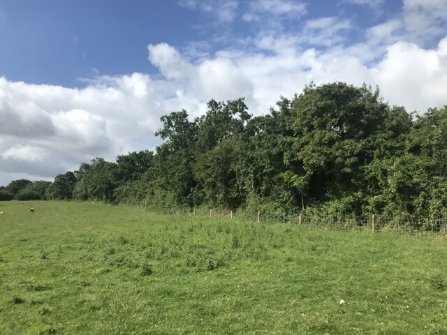
Sturt Brake is a charming woodland located in the county of Gloucestershire, England. Nestled within the expansive Forest of Dean, this area is a haven for nature enthusiasts and those seeking a peaceful retreat in the midst of scenic beauty.

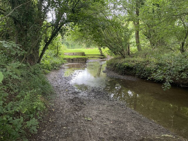
Covering an area of approximately 200 acres, Sturt Brake is predominantly comprised of ancient deciduous trees, including oak, beech, and ash. These towering giants create a dense canopy that filters sunlight, casting dappled shadows on the forest floor. The woodland is also home to a variety of wildlife, including deer, badgers, and a rich array of bird species.

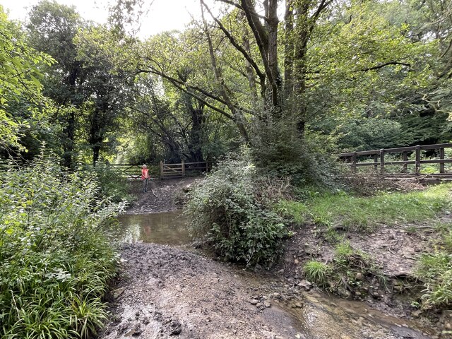
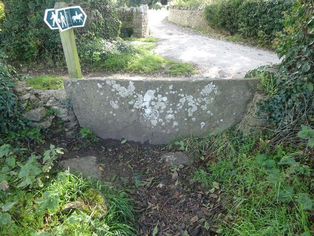
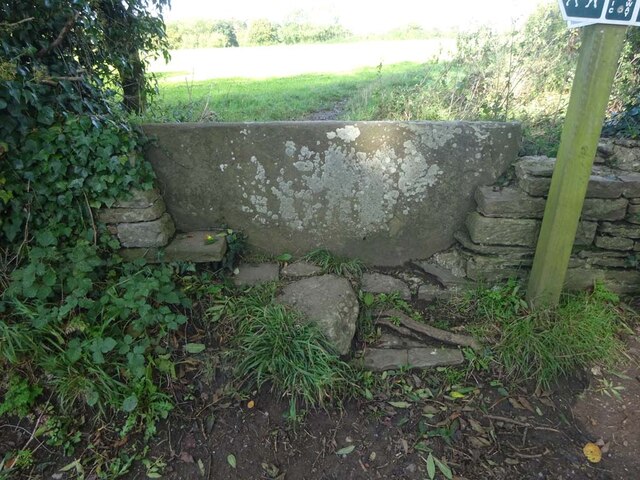
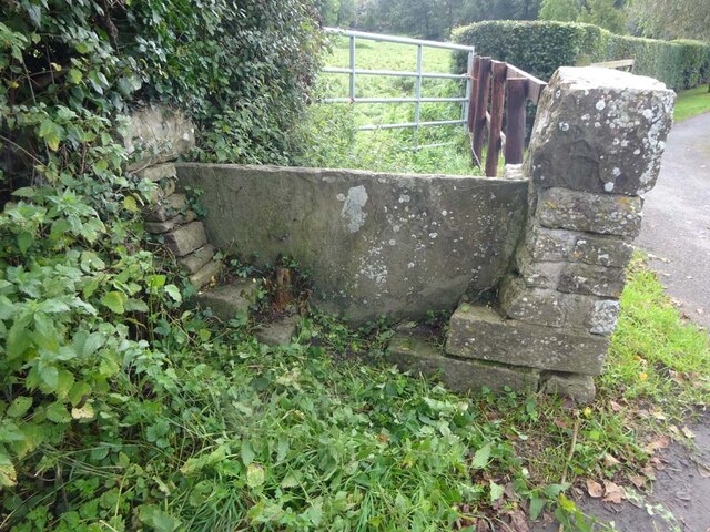
The forest boasts several well-maintained walking trails that wind through the woodlands, providing visitors with the opportunity to explore and immerse themselves in the natural surroundings. The trails are suitable for all levels of walkers, from leisurely strollers to more adventurous hikers. Along the way, visitors may stumble upon picturesque streams, vibrant wildflowers, and hidden clearings that offer peaceful spots for picnics or moments of reflection.

Sturt Brake is a popular destination for outdoor activities such as birdwatching, photography, and nature study. The tranquil atmosphere and abundance of flora and fauna make it an ideal location for nature lovers and those seeking a break from the hustle and bustle of daily life.

Overall, Sturt Brake in Gloucestershire is a captivating woodland that showcases the beauty and diversity of the Forest of Dean. With its ancient trees, scenic trails, and abundant wildlife, it offers a serene and immersive experience for visitors of all ages.

If you have any feedback on the listing, please let us know in the comments section below.
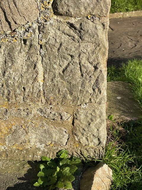
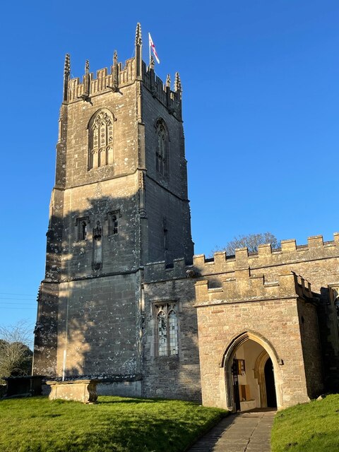
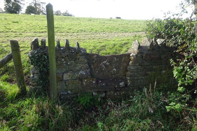
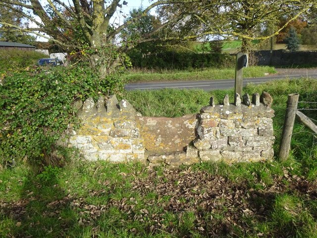
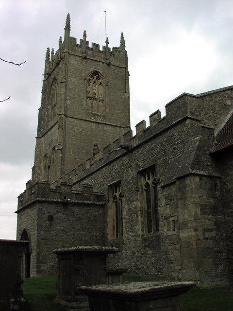
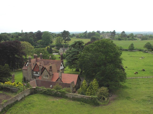
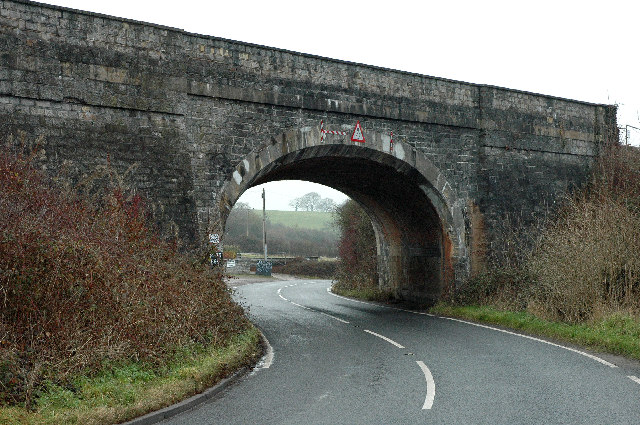
Sturt Brake Images

Images are sourced within 2km of 51.596449/-2.3825959 or Grid Reference ST7388. Thanks to Geograph Open Source API. All images are credited.

Cut Mark: Wickwar, Church of the Holy Trinity A faint cut bench mark on the east face of the entrance porch.  See <a title="https://www.geograph.org.uk/photo/7073192" href="https://www.geograph.org.uk/photo/7073192">Link</a> for a wider view and <span class="nowrap"><a title="https://www.bench-marks.org.uk/bm56987" rel="nofollow ugc noopener" href="https://www.bench-marks.org.uk/bm56987">Link</a><img style="margin-left:2px;" alt="External link" title="External link - shift click to open in new window" src="https://s1.geograph.org.uk/img/external.png" width="10" height="10"/></span> for details of the mark.
Cut Mark: Wickwar, Church of the Holy Trinity
A faint cut bench mark on the east face of the entrance porch. See Link for a wider view and LinkExternal link for details of the mark.
Wickwar, Church of the Holy Trinity There is a faint cut bench mark around the left-hand angle of the entrance porch.  See <a title="https://www.geograph.org.uk/photo/7073187" href="https://www.geograph.org.uk/photo/7073187">Link</a> for a closer view and <span class="nowrap"><a title="https://www.bench-marks.org.uk/bm56987" rel="nofollow ugc noopener" href="https://www.bench-marks.org.uk/bm56987">Link</a><img style="margin-left:2px;" alt="External link" title="External link - shift click to open in new window" src="https://s1.geograph.org.uk/img/external.png" width="10" height="10"/></span> for details of the mark.
Wickwar, Church of the Holy Trinity
There is a faint cut bench mark around the left-hand angle of the entrance porch. See Link for a closer view and LinkExternal link for details of the mark.
Toll House, B4060 Wickwar Tollgate Cottage, on the NW side of the road. Originally served the Kingswood Turnpike Trust.

Milestone Society National ID: AV.WIC01
Toll House, B4060 Wickwar
Tollgate Cottage, on the NW side of the road. Originally served the Kingswood Turnpike Trust. Milestone Society National ID: AV.WIC01
Toll House, B4060 Wickwar On Station Road, South of the road "Turnpike Gate". Originally serving the Kingswood Turnpike Trust.

Milestone Society National ID: AV.WIC02
Toll House, B4060 Wickwar
On Station Road, South of the road "Turnpike Gate". Originally serving the Kingswood Turnpike Trust. Milestone Society National ID: AV.WIC02
Field edge
Field edge
Ford on Little Avon River This ford on the Little Avon River at Wickwar is found beside Sturt Bridge which is known locally as Roman Bridge as it is on the route of a Roman road. A video of the ford can be viewed at:
<span class="nowrap"><a title="https://youtu.be/Mcgc6bxe6-o" rel="nofollow ugc noopener" href="https://youtu.be/Mcgc6bxe6-o">Link</a><img style="margin-left:2px;" alt="External link" title="External link - shift click to open in new window" src="https://s1.geograph.org.uk/img/external.png" width="10" height="10"/></span>
Ford on Little Avon River
This ford on the Little Avon River at Wickwar is found beside Sturt Bridge which is known locally as Roman Bridge as it is on the route of a Roman road. A video of the ford can be viewed at: LinkExternal link
Lower Wood Ford This ford is found in Lower Wood Nature Reserve a short walk down from the carpark.
Lower Wood Ford
This ford is found in Lower Wood Nature Reserve a short walk down from the carpark.
Ford on Little Avon River This ford is on a Cross Country Course at Castle Farm near Wickwar. A video of the ford taken on an Open Day can be viewed at:
<span class="nowrap"><a title="https://youtu.be/RLzip8NqFQU" rel="nofollow ugc noopener" href="https://youtu.be/RLzip8NqFQU">Link</a><img style="margin-left:2px;" alt="External link" title="External link - shift click to open in new window" src="https://s1.geograph.org.uk/img/external.png" width="10" height="10"/></span>
Ford on Little Avon River
This ford is on a Cross Country Course at Castle Farm near Wickwar. A video of the ford taken on an Open Day can be viewed at: LinkExternal link
Stone Stile, Wickwar Off Church Lane on Gloucestershire footpath LWR/9/30 looking SE to the church car park.
The view back is <a href="https://www.geograph.org.uk/photo/7624641">ST7289 : Stone Stile, Wickwar</a>.
Stone Stile, Wickwar
Off Church Lane on Gloucestershire footpath LWR/9/30 looking SE to the church car park. The view back is ST7289 : Stone Stile, Wickwar.
Stone Stile, Wickwar Off Church Lane on  Gloucestershire footpath LWR/9/30 looking NW from the entrance to the church car park.
The view looking back is <a href="https://www.geograph.org.uk/photo/7624639">ST7289 : Stone Stile, Wickwar</a>.
Stone Stile, Wickwar
Off Church Lane on Gloucestershire footpath LWR/9/30 looking NW from the entrance to the church car park. The view looking back is ST7289 : Stone Stile, Wickwar.
Stone Stile, Wickwar On  Gloucestershire footpath LWR/14/10 looking to Church Lane.
The view NE looking at a fairly well locked gate, (naughty farmer)  is <a href="https://www.geograph.org.uk/photo/7624653">ST7288 : Stone Stile, Wickwar</a>.
Stone Stile, Wickwar
On Gloucestershire footpath LWR/14/10 looking to Church Lane. The view NE looking at a fairly well locked gate, (naughty farmer) is ST7288 : Stone Stile, Wickwar.
Stone Stile, Wickwar On  Gloucestershire footpath LWR/14/10 looking NE at a fairly well locked gate, naughty farmer!
The view looking to Church Lane is <a href="https://www.geograph.org.uk/photo/7624651">ST7288 : Stone Stile, Wickwar</a>.
Stone Stile, Wickwar
On Gloucestershire footpath LWR/14/10 looking NE at a fairly well locked gate, naughty farmer! The view looking to Church Lane is ST7288 : Stone Stile, Wickwar.
Stone Stile, Wickwar On Gloucestershire footpath LWR/6/10 opposite Church Lane, looking SW to West End.
The view looking NE to "the Downs" (road) is <a href="https://www.geograph.org.uk/photo/7640751">ST7288 : Stone Stile, Wickwar</a>.
Stone Stile, Wickwar
On Gloucestershire footpath LWR/6/10 opposite Church Lane, looking SW to West End. The view looking NE to "the Downs" (road) is ST7288 : Stone Stile, Wickwar.
Stone Stile, Wickwar On Gloucestershire footpath LWR/6/10 opposite Church Lane, looking NE to "the Downs" (road).
The view looking SW to West End is <a href="https://www.geograph.org.uk/photo/7640749">ST7288 : Stone Stile, Wickwar</a>.
Stone Stile, Wickwar
On Gloucestershire footpath LWR/6/10 opposite Church Lane, looking NE to "the Downs" (road). The view looking SW to West End is ST7288 : Stone Stile, Wickwar.
Wickwar Parish Church The Parish Church of the Holy Trinity is set on a small hill and is of 12th century origin. It was extensively remodelled in the 14th and 15th centuries and was restored c.1881 by W L Bernard.
Wickwar Parish Church
The Parish Church of the Holy Trinity is set on a small hill and is of 12th century origin. It was extensively remodelled in the 14th and 15th centuries and was restored c.1881 by W L Bernard.
View from the top of the tower of Wickwar Church The walls around the house are the remains of a Saxon  walled settlement.
View from the top of the tower of Wickwar Church
The walls around the house are the remains of a Saxon walled settlement.
Sturt Bridge Hidden away in the valley below the village but well known to locals.  You can find it by walking down Poplar Lane.
Sturt Bridge
Hidden away in the valley below the village but well known to locals. You can find it by walking down Poplar Lane.
Railway Viaduct Wickwar Carries the main Gloucester to Bristol line.  There used to be a station in Wickwar but it has long since closed.  Shortly after the bridge the line plunges into a tunnel which takes it under the church.
Railway Viaduct Wickwar
Carries the main Gloucester to Bristol line. There used to be a station in Wickwar but it has long since closed. Shortly after the bridge the line plunges into a tunnel which takes it under the church.
Show me another place!

Sturt Brake is located at Grid Ref: ST7388 (Lat: 51.596449, Lng: -2.3825959)

Unitary Authority: South Gloucestershire

Police Authority: Avon and Somerset

What 3 Words

///states.rural.spin. Near Wickwar, Gloucestershire

Related Wikis

Wickwar

Wickwar is a village and civil parish in Gloucestershire, England, located between Yate and Charfield. At the 2001 census, the parish had a population...

Wickwar railway station

Wickwar railway station served the village of Wickwar in South Gloucestershire, England. The station was on the Bristol and Gloucester Railway, originally...

Lower Woods

Lower Woods (grid reference ST743876) is a 280.1-hectare (692-acre) biological and geological Site of Special Scientific Interest near the village of Wickwar...

Bishop's Hill Wood

Bishop's Hill Wood (grid reference ST733873) is a 30.6 hectares (76 acres) biological Site of Special Scientific Interest (SSSI) in England. It lies just...

Yarley Meadows

Yarley Meadows (grid reference ST757888) is a 12.2-hectare (30-acre) biological Site of Special Scientific Interest in Gloucestershire, England, notified...

Hawkesbury Meadow

Hawkesbury Meadow (grid reference ST754874) is a 3.3 hectare biological Site of Special Scientific Interest (SSSI) in South Gloucestershire, notified in...

St James' Church, Charfield

St James' Church is a historic Anglican church at Churchend in the village of Charfield, Gloucestershire, England and is under the care of The Churches...

Hillesley

Hillesley is a village in Gloucestershire, England. It was transferred from the county of Avon in 1991 and is now in Stroud District. The village forms...

Related Videos

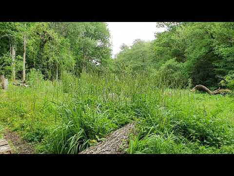
Lower Woods Nature Reserve nr Wickwar

The woodland is run by Gloucestershire Wildlife Trust and has SSSI status. Two marked routes to walk in it's 700 acres, parking a ...

Fimi X8 SE - Sturt Farm

Family holiday at Sturt Farm with the new Fimi X8 SE drone.

Houses For Sale in Wickwar - Saxon Gate | Linden Homes

https://www.lindenhomes.co.uk/developments/gloucestershire/saxon-gate-wickwar Coming soon: A beautifully-located collection ...

Nearby Amenities

Located within 500m of 51.596449,-2.3825959
Passing Place
Lat/Long: 51.5986787/-2.3835547
Barrier: cattle_grid
Lat/Long: 51.5997008/-2.3840433
Passing Place
Lat/Long: 51.5989578/-2.3795865
Power: pole
Lat/Long: 51.5995194/-2.3876481
Power: pole
Lat/Long: 51.599782/-2.3863265
Power: pole
Lat/Long: 51.6000401/-2.3850493
Power: pole
Lat/Long: 51.6003998/-2.381416
Power: pole
Lat/Long: 51.6003781/-2.3803256
Power: pole
Lat/Long: 51.6003462/-2.3791931
Power: pole
Lat/Long: 51.599795/-2.3803443
Power: pole
Lat/Long: 51.6002304/-2.383991
Power: pole
Lat/Long: 51.5980163/-2.3883541
Power: pole
Lat/Long: 51.5976584/-2.38816
Power: pole
Lat/Long: 51.5984268/-2.388579
Power: pole
Lat/Long: 51.5970814/-2.3878426
Power: pole
Lat/Long: 51.5963694/-2.3874436
Power: pole
Lat/Long: 51.5959359/-2.3872048
Power: pole
Lat/Long: 51.5951531/-2.3867535
Power: pole
Lat/Long: 51.5944134/-2.3863517
Power: pole
Lat/Long: 51.5939184/-2.3860893
Power: pole
Lat/Long: 51.5931304/-2.3858311
Power: pole
Lat/Long: 51.5990704/-2.3795179
The data included in this document is from www.openstreetmap.org. The data is made available under ODbL.

Have you been to Sturt Brake?

Leave your review of Sturt Brake below (or comments, questions and feedback).