Boy Bank Wood

Wood, Forest in Lancashire Ribble Valley

England

Boy Bank Wood

Brungerley Bridge The B6274 from Slaidburn to Clitheroe crosses the River Ribble.
Brungerley Bridge Credit: Oliver Dixon

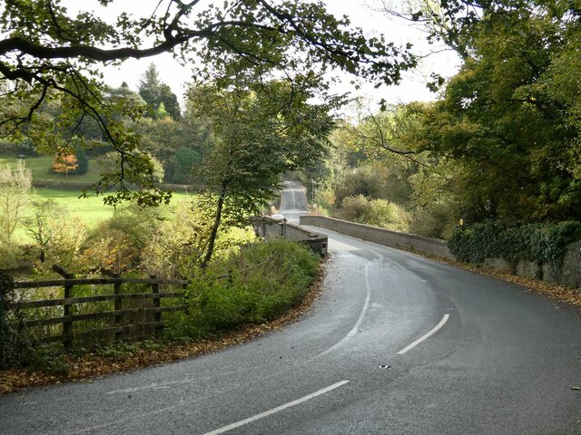
Boy Bank Wood is a picturesque woodland located in Lancashire, England. Covering an area of approximately 50 acres, it is a popular destination for nature enthusiasts and outdoor enthusiasts alike. The wood is situated in close proximity to the town of Burscough and is easily accessible by foot or car.

The woodland is characterized by its diverse range of tree species, including oak, ash, birch, and beech. The dense canopy provides a haven for a variety of wildlife, making it an ideal spot for birdwatching and wildlife observation. Visitors may catch glimpses of species such as woodpeckers, squirrels, and even deer.

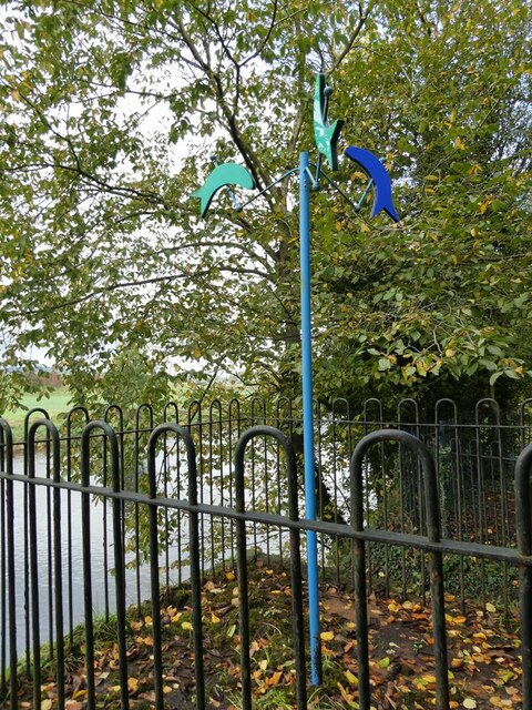
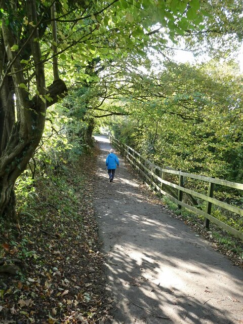
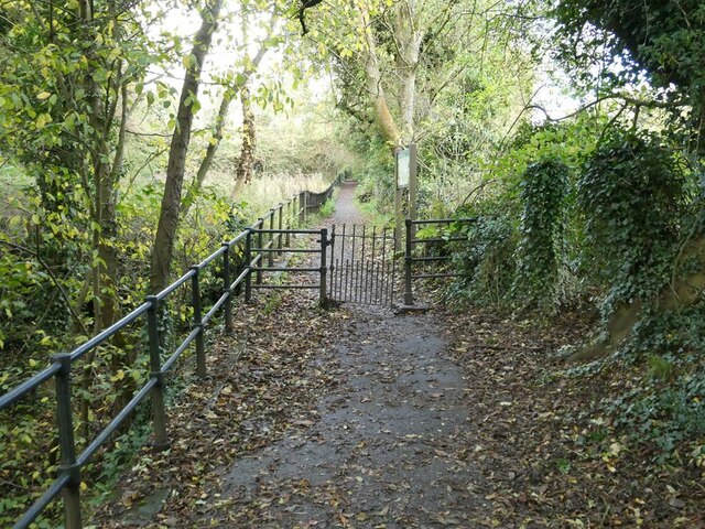
Boy Bank Wood is crisscrossed with well-maintained footpaths, allowing visitors to explore the wood at their own pace. The paths wind through the trees, providing a tranquil and immersive experience in nature. Additionally, there are several picnic areas and benches scattered throughout the wood, providing the perfect opportunity to relax and enjoy a picnic amidst the natural beauty.

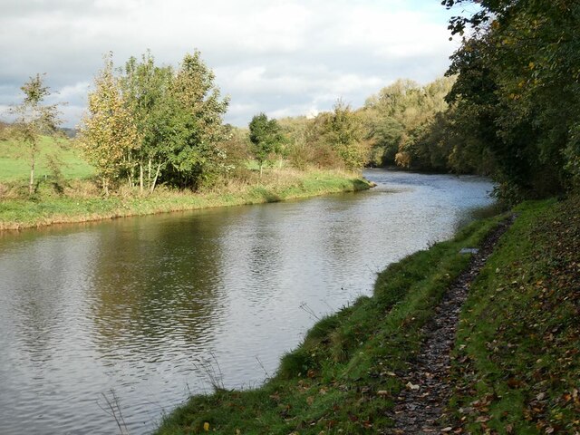
The wood is also home to a small stream, which adds to its charm. Visitors can follow the stream's course, observing the various plants and animals that thrive in its waters. Alongside the stream, there are occasional wooden bridges that allow visitors to cross over and continue their exploration.

Overall, Boy Bank Wood offers a peaceful and idyllic setting for individuals looking to escape the hustle and bustle of everyday life. Its natural beauty, diverse wildlife, and well-maintained trails make it a must-visit destination for nature enthusiasts and those seeking a moment of tranquility in the heart of Lancashire.

If you have any feedback on the listing, please let us know in the comments section below.

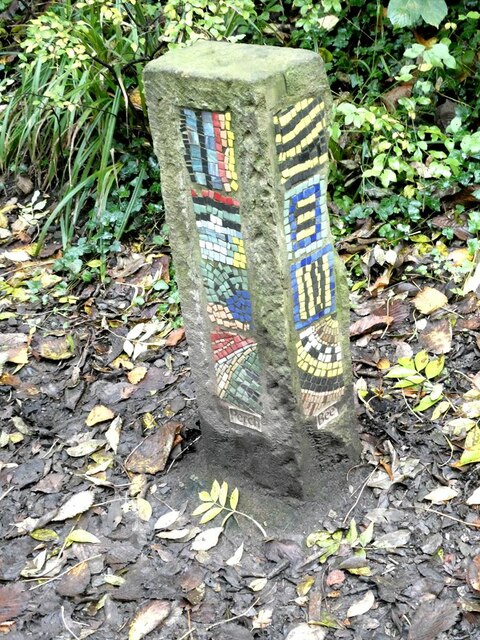
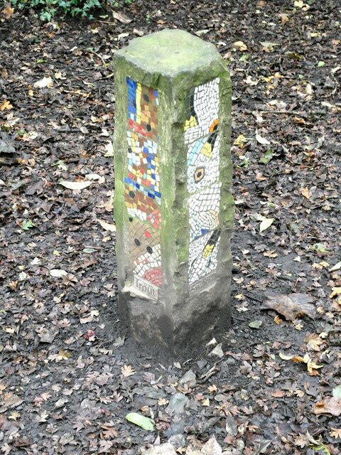
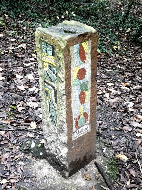
Boy Bank Wood Images

Images are sourced within 2km of 53.878129/-2.4023964 or Grid Reference SD7342. Thanks to Geograph Open Source API. All images are credited.

Brungerley Bridge The B6274 from Slaidburn to Clitheroe crosses the River Ribble.
Brungerley Bridge
The B6274 from Slaidburn to Clitheroe crosses the River Ribble.
"Alder Cone" Sculpture by Halima Cassell, one of the sculptures on the Ribble Valley Sculpture Trail. Dated 2009, this is one of the most recent sculptures on the Trail.
"Alder Cone"
Sculpture by Halima Cassell, one of the sculptures on the Ribble Valley Sculpture Trail. Dated 2009, this is one of the most recent sculptures on the Trail.
Bowland Brewery bus One of the attractions at the Holmes Mill retail development.
Bowland Brewery bus
One of the attractions at the Holmes Mill retail development.
Bowland Food Hall Part of the Holmes Mill retail development.
Bowland Food Hall
Part of the Holmes Mill retail development.
Inside the Bowland Food Hall Part of the Holmes Mill retail development.
Inside the Bowland Food Hall
Part of the Holmes Mill retail development.
The "Pinnacle" in Clitheroe Castle Park A panel close by describes how the monument was bought by Sir William Brass (MP for Clitheroe from 1922 to 1945) and transported from the Palace of Westminster, of which it was originally part, to Clitheroe Castle grounds to commemorate the Coronation of George VI in 1937. Other commemorative plaques have subsequently been added to the base. The Pinnacle underwent major restoration in 2014-2016.
The "Pinnacle" in Clitheroe Castle Park
A panel close by describes how the monument was bought by Sir William Brass (MP for Clitheroe from 1922 to 1945) and transported from the Palace of Westminster, of which it was originally part, to Clitheroe Castle grounds to commemorate the Coronation of George VI in 1937. Other commemorative plaques have subsequently been added to the base. The Pinnacle underwent major restoration in 2014-2016.
Creative Activity Space, Clitheroe Castle Some intriguing acoustic equipment installed in 2009 just below the Castle Keep.
Creative Activity Space, Clitheroe Castle
Some intriguing acoustic equipment installed in 2009 just below the Castle Keep.
Creative Activity Space, Clitheroe Castle An intriguing piece of acoustic equipment installed just below the Castle Keep.
Creative Activity Space, Clitheroe Castle
An intriguing piece of acoustic equipment installed just below the Castle Keep.
Band stand, Clitheroe Castle Park On the horizon, the eastern end of Longridge Fell <a href="https://www.geograph.org.uk/gridref/SD6840">SD6840</a>.
Band stand, Clitheroe Castle Park
On the horizon, the eastern end of Longridge Fell SD6840.
Clitheroe War Memorial Situated in the Clitheroe Castle Park. On the skyline, the distinctive outline of Pendle Hill <a href="https://www.geograph.org.uk/gridref/SD7941">SD7941</a>.
Clitheroe War Memorial
Situated in the Clitheroe Castle Park. On the skyline, the distinctive outline of Pendle Hill SD7941.
Fish mobile Sculpture by Julie Ann Seaman on the banks of the River Ribble, part of the Ribble Valley Sculpture Trail.
Fish mobile
Sculpture by Julie Ann Seaman on the banks of the River Ribble, part of the Ribble Valley Sculpture Trail.
River Ribble Looking upstream a short way above Brungerley Bridge.
River Ribble
Looking upstream a short way above Brungerley Bridge.
Path from Cross Hill Quarry to Brungerley Park The fence guards a long very steep drop down to the River Ribble.
Path from Cross Hill Quarry to Brungerley Park
The fence guards a long very steep drop down to the River Ribble.
"Lords and Ladies" Sculpture by Halima Cassell, one of the sculptures on the Ribble Valley Sculpture Trail. Dated 2009, this is one of the most recent sculptures on the Trail. It is constructed from over 100 intricately carved ceramic bricks and evokes the complex flower structure of the Lords and Ladies plant which can be found growing along the Trail.
"Lords and Ladies"
Sculpture by Halima Cassell, one of the sculptures on the Ribble Valley Sculpture Trail. Dated 2009, this is one of the most recent sculptures on the Trail. It is constructed from over 100 intricately carved ceramic bricks and evokes the complex flower structure of the Lords and Ladies plant which can be found growing along the Trail.
Mosaic Way Marker Sculpture by Paul Smith, one of three created in conjunction with Clitheroe school children through the Wildlife after School project. The four sides of the pillar each carry a mosaic representing examples of natural history to be found along this path; the two sides visible here depict Perch and Bee. Part of the Ribble Valley Sculpture Trail.
Mosaic Way Marker
Sculpture by Paul Smith, one of three created in conjunction with Clitheroe school children through the Wildlife after School project. The four sides of the pillar each carry a mosaic representing examples of natural history to be found along this path; the two sides visible here depict Perch and Bee. Part of the Ribble Valley Sculpture Trail.
Mosaic Way Marker Sculpture by Paul Smith, one of three created in conjunction with Clitheroe school children through the Wildlife after School project. The four sides of the pillar each carry a mosaic representing examples of natural history to be found along this path; the two sides visible here depict Trout and Heron. Part of the Ribble Valley Sculpture Trail.
Mosaic Way Marker
Sculpture by Paul Smith, one of three created in conjunction with Clitheroe school children through the Wildlife after School project. The four sides of the pillar each carry a mosaic representing examples of natural history to be found along this path; the two sides visible here depict Trout and Heron. Part of the Ribble Valley Sculpture Trail.
Mosaic Way Marker Sculpture by Paul Smith, one of three created in conjunction with Clitheroe school children through the Wildlife after School project. The four sides of the pillar each carry a mosaic representing examples of natural history to be found along this path; the two sides visible here depict Frog and Mallard. Part of the Ribble Valley Sculpture Trail.
Mosaic Way Marker
Sculpture by Paul Smith, one of three created in conjunction with Clitheroe school children through the Wildlife after School project. The four sides of the pillar each carry a mosaic representing examples of natural history to be found along this path; the two sides visible here depict Frog and Mallard. Part of the Ribble Valley Sculpture Trail.
Path past Cross Hill Quarry The railings protect the steep drop to the old quarry to the left.
Path past Cross Hill Quarry
The railings protect the steep drop to the old quarry to the left.
Show me another place!

Boy Bank Wood is located at Grid Ref: SD7342 (Lat: 53.878129, Lng: -2.4023964)

Administrative County: Lancashire

District: Ribble Valley

Police Authority: Lancashire

What 3 Words

///squabbles.fooling.stumps. Near Clitheroe, Lancashire

Related Wikis

Waddow Hall

Waddow Hall is a 17th-century Grade II listed building within a 178-acre (72 ha) estate that serves as a conference and activity centre for Girlguiding...

Clitheroe railway station

Clitheroe railway station serves the town of Clitheroe in Lancashire, England. The station is the northern terminus of the Ribble Valley Line / Clitheroe...

Clitheroe Interchange

Clitheroe Interchange is the main transport interchange in the market town of Clitheroe and the Ribble Valley district in Lancashire, England. It consists...

Moorland School

Moorland School is a selective independent day and boarding school situated in the Ribble Valley, Clitheroe in North West England. The original building...

Nearby Amenities

Located within 500m of 53.878129,-2.4023964
Barrier: kissing_gate
Foot: yes
Lat/Long: 53.8776991/-2.3984694
Barrier: kissing_gate
Foot: yes
Lat/Long: 53.8768003/-2.4036927
Bus Stop
Bus: yes
Public Transport: platform
Ref: landmapd
Shelter: no
Lat/Long: 53.8807224/-2.3984854
Bus Stop
Bus: yes
Naptan AtcoCode: 2500IMG2331
Naptan NaptanCode: langatad
Public Transport: platform
Shelter: yes
Lat/Long: 53.8809105/-2.3987992
Waddow Hall
Place: neighbourhood
Source: OSOpenDataStreet
Lat/Long: 53.879769/-2.4063179
Generator Method: photovoltaic
Generator Output Electricity: yes
Generator Source: solar
Generator Type: solar_photovoltaic_panel
Location: roof
Power: generator
Lat/Long: 53.8792357/-2.3958626
Generator Method: photovoltaic
Generator Output Electricity: yes
Generator Source: solar
Generator Type: solar_photovoltaic_panel
Location: roof
Power: generator
Lat/Long: 53.8784233/-2.3950875
Shop: gift
Lat/Long: 53.8798439/-2.4034315
Waddow Hall
Tourism: guest_house
Lat/Long: 53.8796684/-2.4047646
Height: 0.5
Playground: balancebeam
Lat/Long: 53.8807818/-2.3965122
Crossing
Lat/Long: 53.8776564/-2.3981892
Toilets
Lat/Long: 53.8777473/-2.3989828
Barrier: kissing_gate
Source: bing
Lat/Long: 53.8758838/-2.4008751
Barrier: kissing_gate
Source: survey;gps
Lat/Long: 53.8745126/-2.4025111
Barrier: kissing_gate
Source: survey;gps
Lat/Long: 53.8745516/-2.402561
Barrier: kissing_gate
Source: survey;gps
Lat/Long: 53.877001/-2.4079342
The data included in this document is from www.openstreetmap.org. The data is made available under ODbL.

Have you been to Boy Bank Wood?

Leave your review of Boy Bank Wood below (or comments, questions and feedback).