Old Spring Wood

Wood, Forest in Yorkshire Ribble Valley

England

Old Spring Wood

Clitheroe, Greenacre Street This benchmark is cut into the stone windowsill of a restaurant on the north side of Greenacre Street. The wall and window is facing south-west, and the level of this window is below street level.
Clitheroe, Greenacre Street Credit: Mel Towler

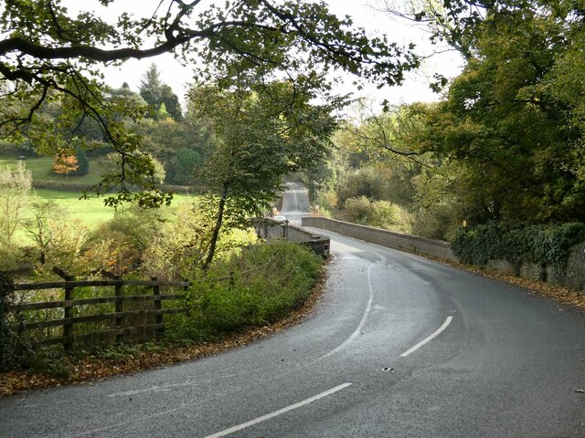
Old Spring Wood is a serene and enchanting woodland located in the picturesque county of Yorkshire, England. Nestled between the villages of Hawnby and Rievaulx, this ancient forest covers an area of approximately 250 acres, boasting a rich history and diverse ecosystem.

With its origins dating back thousands of years, Old Spring Wood is renowned for its old-growth trees, some of which are several centuries old. The woodland is predominantly made up of oak, birch, beech, and ash trees, creating a lush and verdant canopy that provides a haven for numerous wildlife species.

The forest floor of Old Spring Wood is a tapestry of wildflowers, ferns, and mosses, painting a vibrant picture throughout the seasons. It is also home to a wide array of fauna, including deer, badgers, foxes, and a variety of bird species such as woodpeckers, owls, and thrushes.

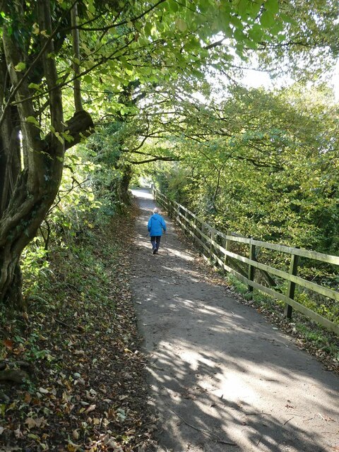
Traversing through Old Spring Wood, visitors are greeted with a network of well-maintained footpaths and trails that wind their way through the forest. These paths offer a tranquil escape for hikers, nature enthusiasts, and photographers, allowing them to immerse themselves in the natural beauty of the woodland.

Old Spring Wood is particularly captivating during spring, when the forest awakens with a burst of color as bluebells and daffodils carpet the floor. The wood is also known for its vibrant autumn foliage, attracting visitors from far and wide to witness the breathtaking display of reds, oranges, and golds.

Overall, Old Spring Wood is a true gem of Yorkshire, offering a peaceful retreat where visitors can reconnect with nature and experience the timeless beauty of an ancient woodland.

If you have any feedback on the listing, please let us know in the comments section below.

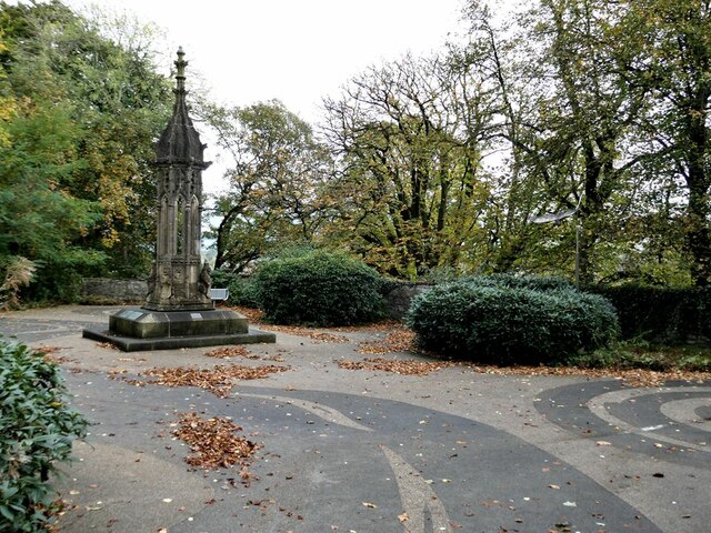
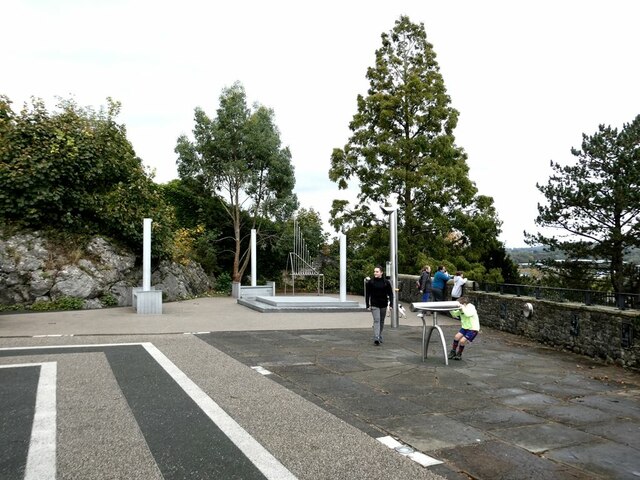
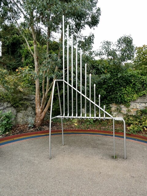
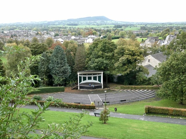
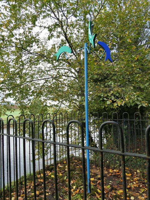
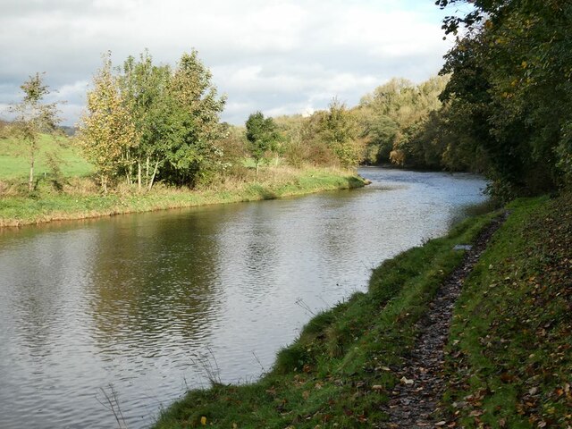
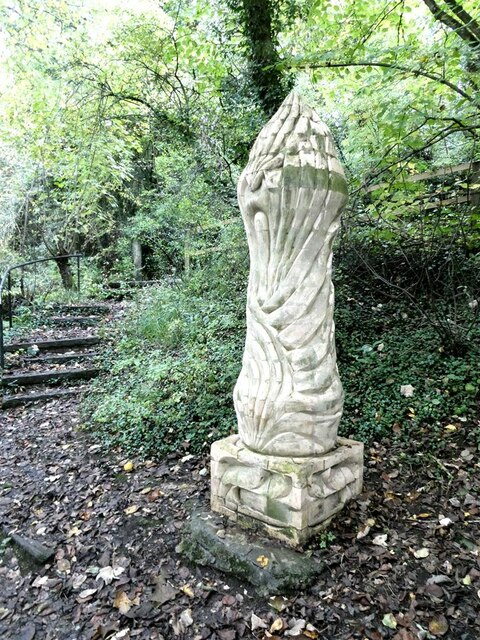
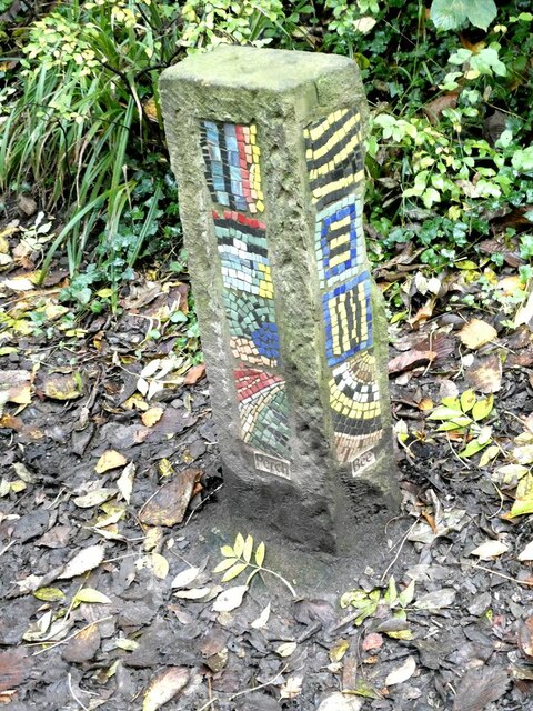
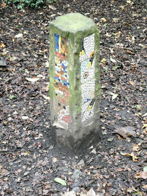
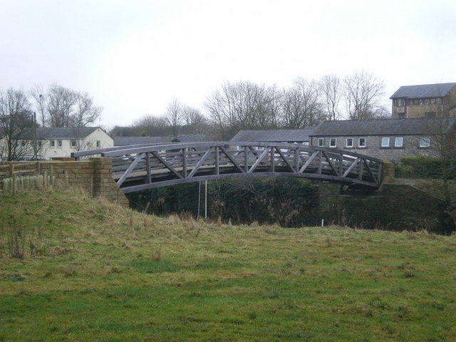
Old Spring Wood Images

Images are sourced within 2km of 53.881041/-2.4078854 or Grid Reference SD7342. Thanks to Geograph Open Source API. All images are credited.

Clitheroe, Greenacre Street This benchmark is cut into the stone windowsill of a restaurant on the north side of Greenacre Street. The wall and window is facing south-west, and the level of this window is below street level.
Clitheroe, Greenacre Street
This benchmark is cut into the stone windowsill of a restaurant on the north side of Greenacre Street. The wall and window is facing south-west, and the level of this window is below street level.
Clitheroe, Greenacre Street A wider angle showing the north side of Greenacre Street. On this south-west facing wall, cut into the stone windowsill of this window is a cut mark which remains in good condition. The level of this window is below street level.
Clitheroe, Greenacre Street
A wider angle showing the north side of Greenacre Street. On this south-west facing wall, cut into the stone windowsill of this window is a cut mark which remains in good condition. The level of this window is below street level.
Brungerley Bridge The B6274 from Slaidburn to Clitheroe crosses the River Ribble.
Brungerley Bridge
The B6274 from Slaidburn to Clitheroe crosses the River Ribble.
"Alder Cone" Sculpture by Halima Cassell, one of the sculptures on the Ribble Valley Sculpture Trail. Dated 2009, this is one of the most recent sculptures on the Trail.
"Alder Cone"
Sculpture by Halima Cassell, one of the sculptures on the Ribble Valley Sculpture Trail. Dated 2009, this is one of the most recent sculptures on the Trail.
Bowland Brewery bus One of the attractions at the Holmes Mill retail development.
Bowland Brewery bus
One of the attractions at the Holmes Mill retail development.
Bowland Food Hall Part of the Holmes Mill retail development.
Bowland Food Hall
Part of the Holmes Mill retail development.
Inside the Bowland Food Hall Part of the Holmes Mill retail development.
Inside the Bowland Food Hall
Part of the Holmes Mill retail development.
The "Pinnacle" in Clitheroe Castle Park A panel close by describes how the monument was bought by Sir William Brass (MP for Clitheroe from 1922 to 1945) and transported from the Palace of Westminster, of which it was originally part, to Clitheroe Castle grounds to commemorate the Coronation of George VI in 1937. Other commemorative plaques have subsequently been added to the base. The Pinnacle underwent major restoration in 2014-2016.
The "Pinnacle" in Clitheroe Castle Park
A panel close by describes how the monument was bought by Sir William Brass (MP for Clitheroe from 1922 to 1945) and transported from the Palace of Westminster, of which it was originally part, to Clitheroe Castle grounds to commemorate the Coronation of George VI in 1937. Other commemorative plaques have subsequently been added to the base. The Pinnacle underwent major restoration in 2014-2016.
Creative Activity Space, Clitheroe Castle Some intriguing acoustic equipment installed in 2009 just below the Castle Keep.
Creative Activity Space, Clitheroe Castle
Some intriguing acoustic equipment installed in 2009 just below the Castle Keep.
Creative Activity Space, Clitheroe Castle An intriguing piece of acoustic equipment installed just below the Castle Keep.
Creative Activity Space, Clitheroe Castle
An intriguing piece of acoustic equipment installed just below the Castle Keep.
Band stand, Clitheroe Castle Park On the horizon, the eastern end of Longridge Fell <a href="https://www.geograph.org.uk/gridref/SD6840">SD6840</a>.
Band stand, Clitheroe Castle Park
On the horizon, the eastern end of Longridge Fell SD6840.
Clitheroe War Memorial Situated in the Clitheroe Castle Park. On the skyline, the distinctive outline of Pendle Hill <a href="https://www.geograph.org.uk/gridref/SD7941">SD7941</a>.
Clitheroe War Memorial
Situated in the Clitheroe Castle Park. On the skyline, the distinctive outline of Pendle Hill SD7941.
Fish mobile Sculpture by Julie Ann Seaman on the banks of the River Ribble, part of the Ribble Valley Sculpture Trail.
Fish mobile
Sculpture by Julie Ann Seaman on the banks of the River Ribble, part of the Ribble Valley Sculpture Trail.
River Ribble Looking upstream a short way above Brungerley Bridge.
River Ribble
Looking upstream a short way above Brungerley Bridge.
Path from Cross Hill Quarry to Brungerley Park The fence guards a long very steep drop down to the River Ribble.
Path from Cross Hill Quarry to Brungerley Park
The fence guards a long very steep drop down to the River Ribble.
"Lords and Ladies" Sculpture by Halima Cassell, one of the sculptures on the Ribble Valley Sculpture Trail. Dated 2009, this is one of the most recent sculptures on the Trail. It is constructed from over 100 intricately carved ceramic bricks and evokes the complex flower structure of the Lords and Ladies plant which can be found growing along the Trail.
"Lords and Ladies"
Sculpture by Halima Cassell, one of the sculptures on the Ribble Valley Sculpture Trail. Dated 2009, this is one of the most recent sculptures on the Trail. It is constructed from over 100 intricately carved ceramic bricks and evokes the complex flower structure of the Lords and Ladies plant which can be found growing along the Trail.
Mosaic Way Marker Sculpture by Paul Smith, one of three created in conjunction with Clitheroe school children through the Wildlife after School project. The four sides of the pillar each carry a mosaic representing examples of natural history to be found along this path; the two sides visible here depict Perch and Bee. Part of the Ribble Valley Sculpture Trail.
Mosaic Way Marker
Sculpture by Paul Smith, one of three created in conjunction with Clitheroe school children through the Wildlife after School project. The four sides of the pillar each carry a mosaic representing examples of natural history to be found along this path; the two sides visible here depict Perch and Bee. Part of the Ribble Valley Sculpture Trail.
Mosaic Way Marker Sculpture by Paul Smith, one of three created in conjunction with Clitheroe school children through the Wildlife after School project. The four sides of the pillar each carry a mosaic representing examples of natural history to be found along this path; the two sides visible here depict Trout and Heron. Part of the Ribble Valley Sculpture Trail.
Mosaic Way Marker
Sculpture by Paul Smith, one of three created in conjunction with Clitheroe school children through the Wildlife after School project. The four sides of the pillar each carry a mosaic representing examples of natural history to be found along this path; the two sides visible here depict Trout and Heron. Part of the Ribble Valley Sculpture Trail.
Show me another place!

Old Spring Wood is located at Grid Ref: SD7342 (Lat: 53.881041, Lng: -2.4078854)

Division: West Riding

Administrative County: Lancashire

District: Ribble Valley

Police Authority: Lancashire

What 3 Words

///contrived.fine.sized. Near Waddington, Lancashire

Related Wikis

Waddow Hall

Waddow Hall is a 17th-century Grade II listed building within a 178-acre (72 ha) estate that serves as a conference and activity centre for Girlguiding...

Waddington, Lancashire

Waddington is a small village, 2 miles (3 km) north-west of Clitheroe in the Ribble Valley, Lancashire, England. The population of the civil parish at...

St Helen's Church, Waddington

St Helen's Church is in the village of Waddington, Lancashire, England. It is an active Anglican parish church in the deanery of Whalley, the archdeaconry...

Moorland School

Moorland School is a selective independent day and boarding school situated in the Ribble Valley, Clitheroe in North West England. The original building...

Clitheroe railway station

Clitheroe railway station serves the town of Clitheroe in Lancashire, England. The station is the northern terminus of the Ribble Valley Line / Clitheroe...

Low Moor, Lancashire

Low Moor is a hamlet which is part of the town of Clitheroe, located in Lancashire, England. It is situated two miles southwest of Clitheroe proper. It...

Clitheroe Interchange

Clitheroe Interchange is the main transport interchange in the market town of Clitheroe and the Ribble Valley district in Lancashire, England. It consists...

Bashall Brook

Bashall Brook is a minor river in Lancashire, England. It is 7.09 miles (11.41 km) long and has a catchment area of 6.86 square miles (1,777.68 ha).The...

Nearby Amenities

Located within 500m of 53.881041,-2.4078854
Waddow Hall
Place: neighbourhood
Source: OSOpenDataStreet
Lat/Long: 53.879769/-2.4063179
Power: pole
Lat/Long: 53.8779708/-2.4118289
Power: pole
Lat/Long: 53.8786871/-2.4110028
Power: pole
Lat/Long: 53.8794144/-2.4102062
Power: pole
Lat/Long: 53.8813054/-2.4104422
Power: pole
Lat/Long: 53.8822508/-2.4105817
Power: pole
Lat/Long: 53.8831315/-2.4106649
Power: pole
Lat/Long: 53.8840611/-2.4107963
Power: pole
Lat/Long: 53.8843852/-2.409651
Power: pole
Lat/Long: 53.8846729/-2.4085969
Power: pole
Lat/Long: 53.8848152/-2.4070787
Power: pole
Lat/Long: 53.884948/-2.4055553
Shop: gift
Lat/Long: 53.8798439/-2.4034315
Waddow Hall
Tourism: guest_house
Lat/Long: 53.8796684/-2.4047646
Barrier: kissing_gate
Source: survey;gps
Lat/Long: 53.877001/-2.4079342
The data included in this document is from www.openstreetmap.org. The data is made available under ODbL.

Have you been to Old Spring Wood?

Leave your review of Old Spring Wood below (or comments, questions and feedback).