Temple of Peace Wood

Wood, Forest in Cheshire

England

Temple of Peace Wood

New A500 Dual Carriageway Runs from near Nantwich to the M6 AT J16. Taken 14th October at 10:42.
New A500 Dual Carriageway Credit: David Crocker

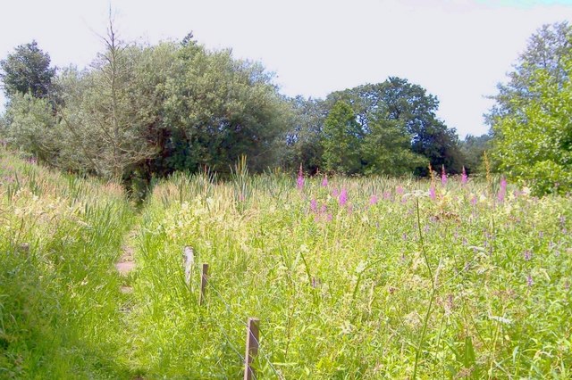
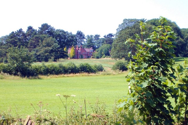
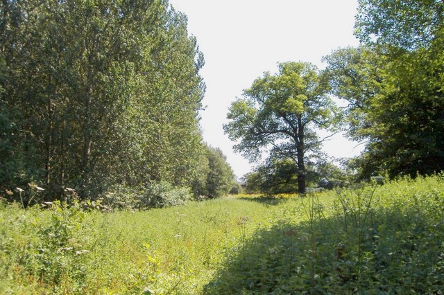
The Temple of Peace Wood, located in Cheshire, England, is a picturesque forest that offers visitors a tranquil and serene experience. Spread across a vast area, the wood is home to a diverse range of flora and fauna, making it an ideal destination for nature enthusiasts and hikers alike.

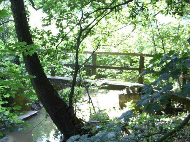
The wood is characterized by its dense canopy of towering trees, providing shade and shelter for the various wildlife that inhabit the area. Visitors can expect to see a variety of bird species, including woodpeckers, owls, and songbirds, as well as small mammals such as deer, rabbits, and squirrels. The wood is also known for its vibrant wildflower displays during the spring and summer months.

For those looking to explore the wood, there are several well-maintained trails that wind through the forest, offering stunning views and opportunities for wildlife spotting. The Temple of Peace Wood is also home to a number of ancient trees, some of which are believed to be several hundred years old, adding to the sense of awe and wonder that this natural haven provides.

Visitors to the wood can engage in a range of activities, including walking, picnicking, and photography. The peaceful atmosphere of the wood makes it an ideal place for relaxation and reflection, allowing visitors to escape the hustle and bustle of everyday life.

Overall, the Temple of Peace Wood in Cheshire offers a beautiful and serene natural environment, perfect for those seeking a peaceful and rejuvenating experience surrounded by the wonders of nature.

If you have any feedback on the listing, please let us know in the comments section below.

Temple of Peace Wood Images

Images are sourced within 2km of 53.086197/-2.3973258 or Grid Reference SJ7354. Thanks to Geograph Open Source API. All images are credited.

New A500 Dual Carriageway Runs from near Nantwich to the M6 AT J16. Taken 14th October at 10:42.
New A500 Dual Carriageway
Runs from near Nantwich to the M6 AT J16. Taken 14th October at 10:42.
Crewe Hall Taken from Weston Road looking towards <a href="https://www.geograph.org.uk/gridref/SJ7353">SJ7353</a>.
Crewe Hall
Taken from Weston Road looking towards SJ7353.
Crewe Hall farm
Crewe Hall farm
Crewe Gates Industrial Estate Rooftop view looking across to Rail House by the station and Crewe Alex ground left of centre
Crewe Gates Industrial Estate
Rooftop view looking across to Rail House by the station and Crewe Alex ground left of centre
Crewe. The Railway Station. Change here for Holyhead and North Wales.
Crewe.
The Railway Station. Change here for Holyhead and North Wales.
Crewe. Even in today's era of electric and diesel traction, it is still, obviously, one of the Meccas for the Rail-fan - including this one.
Crewe.
Even in today's era of electric and diesel traction, it is still, obviously, one of the Meccas for the Rail-fan - including this one.
Crewe. It's easy to see that technology has even caught up with Train-spotters - what with videos. digital cameras, scanners, and the like.
Crewe.
It's easy to see that technology has even caught up with Train-spotters - what with videos. digital cameras, scanners, and the like.
Crewe. The platforms of the Railway Station.
Crewe.
The platforms of the Railway Station.
Crewe Hall Hotel
Crewe Hall Hotel
St Michael and All Angels, Crewe Green
Haslington Primary School Built in 1913 as Haslington Council School.
Haslington Primary School
Built in 1913 as Haslington Council School.
Wesleyan Methodist Church, Haslington Built in 1909
Wesleyan Methodist Church, Haslington
Built in 1909
Hall o' the Heath Farm, Haslington The farmhouse, taken from the driveway, marked on the map as a footpath. From the name of this farm and the one next to it, Heathfields Farm, it seems likely that this area was once heathland.
Hall o' the Heath Farm, Haslington
The farmhouse, taken from the driveway, marked on the map as a footpath. From the name of this farm and the one next to it, Heathfields Farm, it seems likely that this area was once heathland.
A5020 Crewe Green Link Road This Link road allows north/south through traffic to bypass some of the busiest parts Crewe. In the distance on the left is part of Rookery Wood. To the right of the road is Quaker's Coppice.
A5020 Crewe Green Link Road
This Link road allows north/south through traffic to bypass some of the busiest parts Crewe. In the distance on the left is part of Rookery Wood. To the right of the road is Quaker's Coppice.
Footbridge over Valley Brook This bridge forms part of the South Cheshire Way where it passes over Valley Brook.
Footbridge over Valley Brook
This bridge forms part of the South Cheshire Way where it passes over Valley Brook.
South Cheshire Way, Crewe Green Crewe Green. South Cheshire Way,crossing marsh near Henbury Lee.
South Cheshire Way, Crewe Green
Crewe Green. South Cheshire Way,crossing marsh near Henbury Lee.
Englesea House from Barthomley Road Crewe Green. South Cheshire Way, Barthomley Road near Gravel Farm. View towards Englesea House.
Englesea House from Barthomley Road
Crewe Green. South Cheshire Way, Barthomley Road near Gravel Farm. View towards Englesea House.
Lees Wood, Weston Weston. Footpath through edge of Lees Wood.
Lees Wood, Weston
Weston. Footpath through edge of Lees Wood.
Show me another place!

Temple of Peace Wood is located at Grid Ref: SJ7354 (Lat: 53.086197, Lng: -2.3973258)

Unitary Authority: Cheshire East

Police Authority: Cheshire

What 3 Words

///magic.loose.gains. Near Weston, Cheshire

Related Wikis

Crewe Hall

Crewe Hall is a Jacobean mansion located near Crewe Green, east of Crewe, in Cheshire, England. Described by Nikolaus Pevsner as one of the two finest...

Crewe Green

Crewe Green is a small village and former civil parish, now in the parish of Weston and Crewe Green, in the unitary authority area of Cheshire East and...

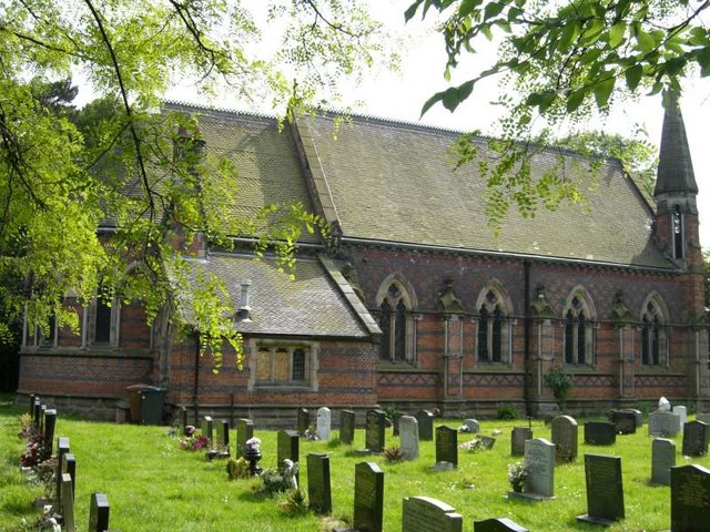
St Michael and All Angels Church, Crewe Green

St Michael and All Angels Church is in the village of Crewe Green, Cheshire, England. The church is recorded in the National Heritage List for England...

Haslington

Haslington is a village and civil parish in the unitary authority of Cheshire East and the ceremonial county of Cheshire, England. It lies about 2 miles...

Nearby Amenities

Located within 500m of 53.086197,-2.3973258
Bus Stop
Crewe Green, Slaughter Hill / Aster Cottage
Bus: yes
Naptan AtcoCode: 0600CR013
Naptan Bearing: NW
Naptan CommonName: Aster Cottage
Naptan Indicator: opp
Naptan Landmark: Aster Cottage
Naptan LocalityName: Crewe Green
Naptan NaptanCode: chejatp
Naptan PlusbusZoneRef: CREWE
Naptan ShortCommonName: Aster Cottage
Naptan Street: Slaughter Hill
Naptan Verified: no
Network: Cheshire East Council
Operator: Ansa Transport
Public Transport: platform
Source: naptan_import
Lat/Long: 53.090367/-2.395289
Bus Stop
Crewe Green, Slaughter Hill / Aster Cottage
Bus: yes
Naptan AtcoCode: 0600CR19028
Naptan Bearing: SE
Naptan CommonName: Aster Cottage
Naptan Indicator: nr
Naptan Landmark: Aster Cottage
Naptan LocalityName: Crewe Green
Naptan NaptanCode: chetwjt
Naptan PlusbusZoneRef: CREWE
Naptan ShortCommonName: Aster Cottage
Naptan Street: Slaughter Hill
Naptan Verified: no
Network: Cheshire East Council
Operator: Ansa Transport
Public Transport: platform
Source: naptan_import
Lat/Long: 53.0904765/-2.3950131
Historic: monument
Lat/Long: 53.083413/-2.3995296
Temple of Peace Wood
Natural: wood
Lat/Long: 53.0871704/-2.3962522
The data included in this document is from www.openstreetmap.org. The data is made available under ODbL.

Have you been to Temple of Peace Wood?

Leave your review of Temple of Peace Wood below (or comments, questions and feedback).