Herridge Wood

Wood, Forest in Gloucestershire Forest of Dean

England

Herridge Wood

Bluebells and oaks Woodland edge by the lane to Ketford.
Bluebells and oaks Credit: Jonathan Billinger

Herridge Wood is a picturesque woodland located in Gloucestershire, England. Covering an area of approximately 50 acres, it is nestled within the beautiful countryside of the Cotswolds. The wood is renowned for its natural beauty and tranquil atmosphere, attracting nature enthusiasts and outdoor lovers alike.

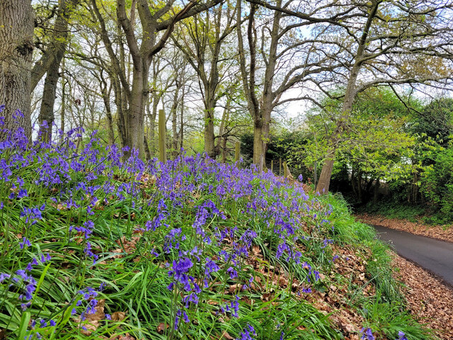
The woodland is primarily composed of deciduous trees, including oak, beech, and birch, which create a vibrant and colorful canopy during the autumn months. The forest floor is carpeted with a variety of wildflowers, such as bluebells and primroses, adding to its charm and appeal.

Herridge Wood is a haven for wildlife, providing a habitat for numerous species of birds, mammals, and insects. It is not uncommon to spot roe deer grazing among the trees or hear the melodious songs of woodland birds. The wood is also home to a variety of butterflies and other insects, making it a popular spot for butterfly enthusiasts.

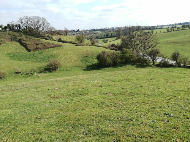
The wood offers several walking trails, allowing visitors to explore its natural treasures at their own pace. These trails wind through the woodland, passing by ancient trees and offering glimpses of stunning views across the surrounding countryside. The peaceful atmosphere and untouched beauty of Herridge Wood make it an ideal destination for those seeking solace in nature or for families looking to spend quality time outdoors.

In conclusion, Herridge Wood is a captivating woodland in Gloucestershire that offers a delightful escape into nature. With its diverse flora and fauna, scenic trails, and serene ambiance, it is a place that truly embodies the magic of the English countryside.

If you have any feedback on the listing, please let us know in the comments section below.

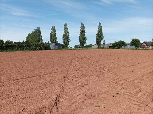
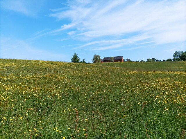
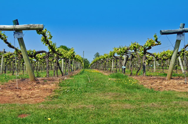
Herridge Wood Images

Images are sourced within 2km of 51.966284/-2.3917795 or Grid Reference SO7329. Thanks to Geograph Open Source API. All images are credited.

Bluebells and oaks Woodland edge by the lane to Ketford.
Bluebells and oaks
Woodland edge by the lane to Ketford.
Three Choirs Vineyard The March clouds crowd the sky above the source of Three Choirs fortune.
Three Choirs Vineyard
The March clouds crowd the sky above the source of Three Choirs fortune.
Durbridge Mill buildings Buildings alongside the track through Durbridge Mill Farm.
Durbridge Mill buildings
Buildings alongside the track through Durbridge Mill Farm.
Fields near Welsh House Lane Grassy fields and rolling hills near Welsh House Lane.
Fields near Welsh House Lane
Grassy fields and rolling hills near Welsh House Lane.
Footpath towards vineyard A footpath through a muddy field leading towards Three Choirs Vineyard.
Footpath towards vineyard
A footpath through a muddy field leading towards Three Choirs Vineyard.
Field of buttercups A large field of buttercups and other wildflowers.
Field of buttercups
A large field of buttercups and other wildflowers.
Three Choirs vineyard
Footbridge over the River Leadon There are a number of footpaths in the area, this footbridge enables walkers to cross the River Leadon near Durbridge Farm.
Footbridge over the River Leadon
There are a number of footpaths in the area, this footbridge enables walkers to cross the River Leadon near Durbridge Farm.
River Leadon near Durbridge Mill Trees reflected in the River Leadon which is flowing at a very low level after a prolong period of low rainfall. Note the exposed tree roots on the riverbank.
River Leadon near Durbridge Mill
Trees reflected in the River Leadon which is flowing at a very low level after a prolong period of low rainfall. Note the exposed tree roots on the riverbank.
Bridge reflected in the River Leadon Bridge reflected in the River Leadon near Durbridge Mill.
Bridge reflected in the River Leadon
Bridge reflected in the River Leadon near Durbridge Mill.
Building at Durbridge Mill The remains of a round building at Durbridge Mill near Poolhill, not sure what its original purpose was.
Building at Durbridge Mill
The remains of a round building at Durbridge Mill near Poolhill, not sure what its original purpose was.
Former mill buildings Former mill buildings at Durbridge Mill beside the River Leadon.
Former mill buildings
Former mill buildings at Durbridge Mill beside the River Leadon.
Old millwheel, Durbridge Mill
Traditional farm buildings, Durbridge Mill Traditional red-brick farm buildings at Durbridge Mill.
Traditional farm buildings, Durbridge Mill
Traditional red-brick farm buildings at Durbridge Mill.
Road to Durbridge Mill Road to Durbridge Mill which appears now to be a farm.
Road to Durbridge Mill
Road to Durbridge Mill which appears now to be a farm.
A Gloucestershire Vineyard The Three Choirs Vineyard with the Malvern hills in the distance.
A Gloucestershire Vineyard
The Three Choirs Vineyard with the Malvern hills in the distance.
The River Leadon at Payford Bridge Looking upstream. It is marginal as to whether the river here is in SO7429 or SO7430, but I am relying on my GPS reading.

The Explorer map has this as 'Playford Bridge', but the Landranger has 'Payford'. As the Explorer has 'Payford Mill' nearby, I have assumed this to be the correct name.
The River Leadon at Payford Bridge
Looking upstream. It is marginal as to whether the river here is in SO7429 or SO7430, but I am relying on my GPS reading. The Explorer map has this as 'Playford Bridge', but the Landranger has 'Payford'. As the Explorer has 'Payford Mill' nearby, I have assumed this to be the correct name.
St John the Evangelist church, Pauntley
Show me another place!

Herridge Wood is located at Grid Ref: SO7329 (Lat: 51.966284, Lng: -2.3917795)

Administrative County: Gloucestershire

District: Forest of Dean

Police Authority: Gloucestershire

What 3 Words

///soggy.tomb.ogre. Near Newent, Gloucestershire

Related Wikis

Ketford Bank

Ketford Bank (grid reference SO723308) is a 0.69-hectare (1.7-acre) nature reserve in Gloucestershire.The site is owned and managed by the Gloucestershire...

Pauntley

Pauntley is a village and civil parish in the district of Forest of Dean, Gloucestershire, England. In 2019 it had a population of 304. == School == Pauntley...

Castle Tump, Dymock

Castle Tump was a castle in the village of Dymock in Gloucestershire, England. The castle was built in either the 11th or more probably the early 12th...

Brand Green

Brand Green is a village in Gloucestershire, England. == References == == External links == Media related to Brand Green at Wikimedia Commons

Nearby Amenities

Located within 500m of 51.966284,-2.3917795
Bus Stop
Little Place
Naptan AtcoCode: 1600GLF055
Naptan Bearing: NW
Naptan CommonName: Little Place
Naptan NaptanCode: gloamwjg
Naptan Street: Ketford Rd
Naptan Verified: no
Source: naptan_import
Lat/Long: 51.9623543/-2.3938547
Bus Stop
Little Place
Naptan AtcoCode: 1600GLF056
Naptan Bearing: SE
Naptan CommonName: Little Place
Naptan NaptanCode: gloamwjm
Naptan Street: Ketford Rd
Naptan Verified: no
Source: naptan_import
Lat/Long: 51.9624982/-2.3938269
Location Transition: yes
Power: pole
Lat/Long: 51.966588/-2.3903093
Power: pole
Lat/Long: 51.966674/-2.3886699
Power: pole
Lat/Long: 51.9667267/-2.3878271
Power: pole
Lat/Long: 51.9668419/-2.3870054
Durbridge
Power: pole
Transformer: distribution
Voltage Primary: 11000
Lat/Long: 51.9668719/-2.3864937
Power: pole
Lat/Long: 51.9669217/-2.3856073
Power: pole
Lat/Long: 51.9671772/-2.3852544
Power: pole
Lat/Long: 51.9674768/-2.3848695
Power: pole
Lat/Long: 51.9674544/-2.3980003
Power: pole
Lat/Long: 51.9673916/-2.3968802
Nutham Barn
Power: pole
Transformer: distribution
Voltage Primary: 11000
Lat/Long: 51.9673152/-2.3956233
Power: pole
Lat/Long: 51.967254/-2.394585
Power: pole
Lat/Long: 51.9676645/-2.3936175
Power: pole
Lat/Long: 51.9679266/-2.391201
Power: pole
Lat/Long: 51.9677267/-2.3929275
Power: pole
Lat/Long: 51.9680947/-2.3897787
Power: pole
Lat/Long: 51.9676401/-2.3887082
Power: pole
Lat/Long: 51.9672439/-2.3878528
The data included in this document is from www.openstreetmap.org. The data is made available under ODbL.

Have you been to Herridge Wood?

Leave your review of Herridge Wood below (or comments, questions and feedback).