Tanner's Coppice
Wood, Forest in Herefordshire
England
Tanner's Coppice

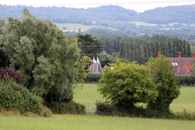
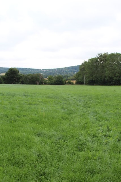
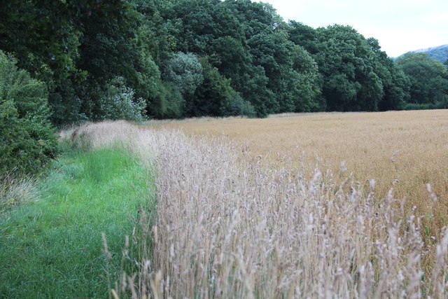
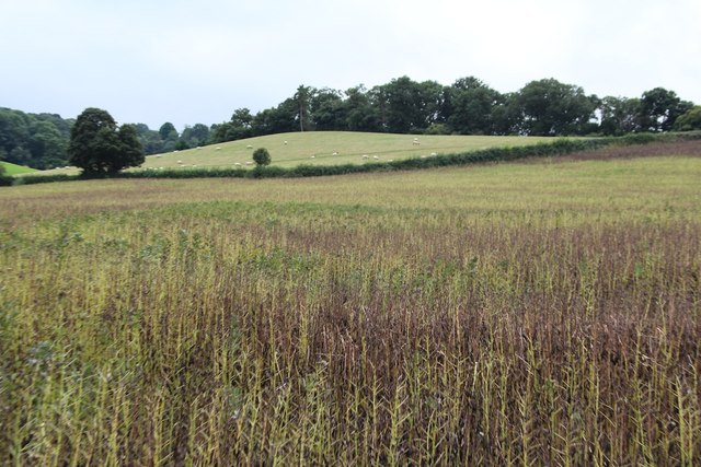
Tanner's Coppice is a picturesque woodland located in Herefordshire, England. Spanning over a vast area, this enchanting forest is a haven for nature enthusiasts and outdoor adventurers alike. The coppice is named after the tanners who used to harvest the trees to extract bark for tanning leather.
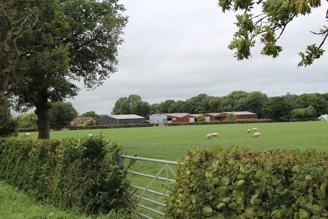
The woodland is characterized by a diverse range of tree species, including oak, beech, ash, and birch. These towering trees create a dense canopy, providing shelter and food for a plethora of wildlife. Visitors to Tanner's Coppice can expect to encounter various bird species, such as woodpeckers, thrushes, and owls, as well as small mammals like squirrels and foxes.
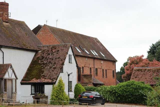
Within the coppice, meandering footpaths wind their way through the forest, offering visitors a chance to explore the stunning surroundings. The pathways are well-maintained, making it accessible for walkers of all abilities. Along the routes, there are several designated picnic areas and benches, allowing visitors to rest and soak in the tranquil atmosphere.
Tanner's Coppice is also home to a diverse range of plant life, with an array of wildflowers and ferns carpeting the forest floor. During the spring and summer months, the woodland bursts into vibrant colors, creating a stunning visual display.
Overall, Tanner's Coppice in Herefordshire offers a peaceful escape from the hustle and bustle of everyday life. With its rich biodiversity, well-marked trails, and serene atmosphere, it is a destination that nature lovers and outdoor enthusiasts should not miss.
If you have any feedback on the listing, please let us know in the comments section below.
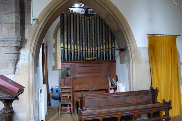
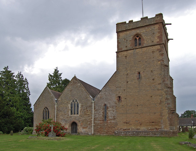
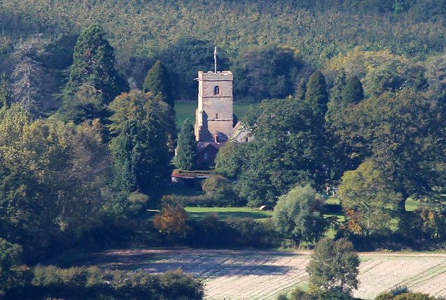
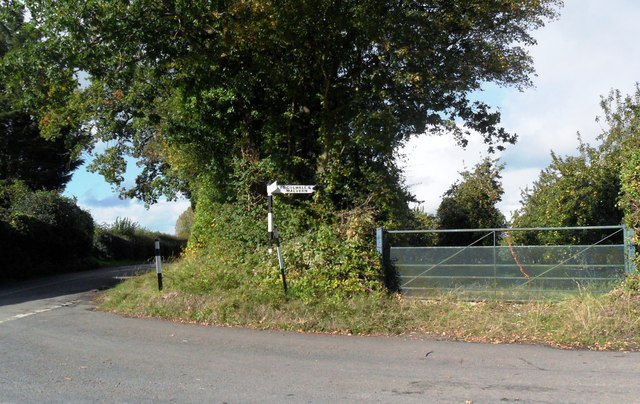
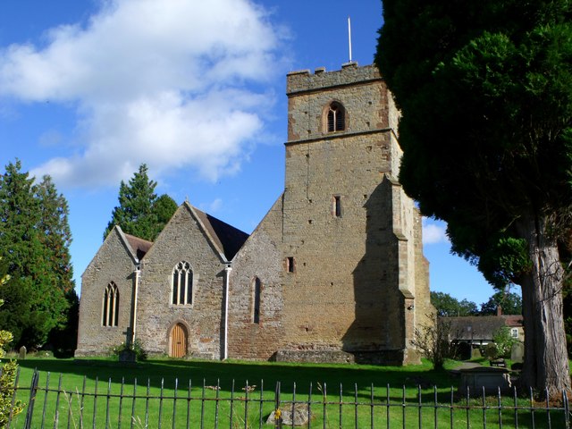
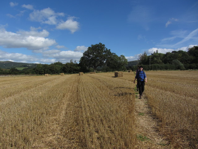
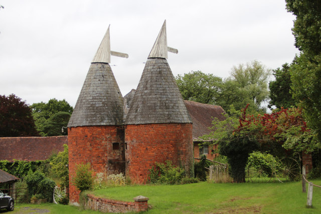
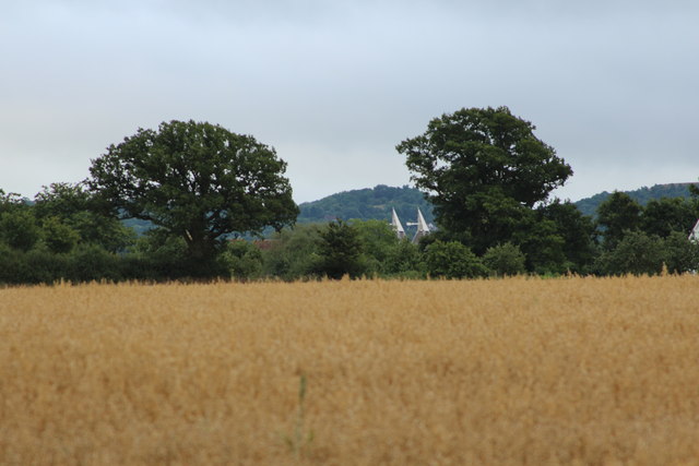
Tanner's Coppice Images
Images are sourced within 2km of 52.091921/-2.3941496 or Grid Reference SO7343. Thanks to Geograph Open Source API. All images are credited.


Tanner's Coppice is located at Grid Ref: SO7343 (Lat: 52.091921, Lng: -2.3941496)
Unitary Authority: County of Herefordshire
Police Authority: West Mercia
What 3 Words
///moons.reset.images. Near Great Malvern, Worcestershire
Nearby Locations
Related Wikis

Coddington, Herefordshire
Coddington is a hamlet and civil parish in eastern Herefordshire, England, about 3 miles (4.8 km) north of Ledbury. The west side of the parish covers...

Mathon, Herefordshire
Mathon is a small village and civil parish in eastern Herefordshire, England, lying just to the west of the Malvern Hills between Malvern and Ledbury....
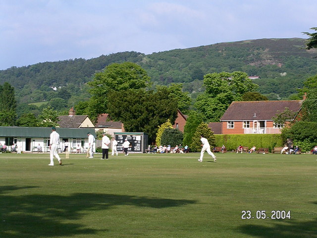
Stowe Lane
Stowe Lane is a cricket ground in Colwall, Herefordshire. The first recorded county match on the ground was in 1974, when the Worcestershire Second XI...

Hope End
Hope End is an area and former estate of Herefordshire, England, near the Malvern Hills, noted for its literary associations. As described by a 19th-century...

The Elms School, Colwall
The Elms School is a co-educational private boarding prep school located in Colwall, Herefordshire, England. Including the Early Years and Pre-Prep departments...

Colwall
Colwall is a civil parish in Herefordshire, England, situated on the border with Worcestershire, nestling on the western side of the Malvern Hills at the...
The Downs Malvern
The Downs Malvern is a private prep school in the United Kingdom, founded in 1900. It is located on a 55-acre (22 ha) site in Colwall in the County of...

Colwall railway station
Colwall railway station is a railway station on the Cotswold Line serving the village of Colwall in Herefordshire, England. The station has one platform...
Nearby Amenities
Located within 500m of 52.091921,-2.3941496Have you been to Tanner's Coppice?
Leave your review of Tanner's Coppice below (or comments, questions and feedback).