Bush Wood
Wood, Forest in Herefordshire
England
Bush Wood

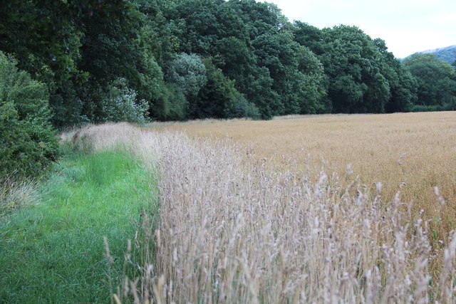
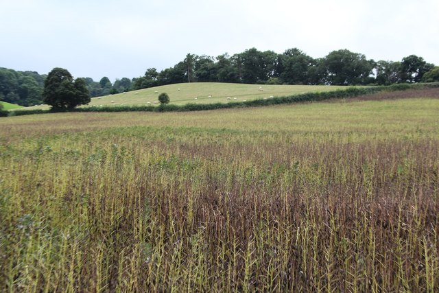
Bush Wood is a captivating forest located in the rural county of Herefordshire, England. Spanning approximately 200 acres, this woodland holds a rich tapestry of natural beauty and abundant wildlife. Its lush greenery and diverse tree species make it a popular destination for nature lovers and outdoor enthusiasts.
The wood is predominantly composed of native broadleaf trees, including oak, beech, and ash. Their towering canopies provide a sheltered and tranquil environment, inviting visitors to explore the forest's winding paths and hidden clearings. The woodland floor is adorned with vibrant wildflowers, creating a picturesque landscape that changes with the seasons.
Bush Wood is teeming with a variety of wildlife. Birdwatchers can spot an array of avian species, such as woodpeckers, nuthatches, and tawny owls. Squirrels playfully dart among the branches, while elusive deer can occasionally be glimpsed through the undergrowth. The forest also supports a rich insect population, attracting butterflies, beetles, and dragonflies.
In addition to its natural wonders, Bush Wood offers several recreational activities. Visitors can embark on peaceful walks, take part in birdwatching or simply enjoy a picnic amidst the tranquil surroundings. The wood also provides a popular setting for photography, painting, and other artistic pursuits, allowing individuals to capture and appreciate its ethereal beauty.
Bush Wood stands as a testament to the enduring charm of Herefordshire's countryside. Its untouched serenity and diverse ecosystem make it a cherished destination for those seeking solace in nature's embrace.
If you have any feedback on the listing, please let us know in the comments section below.
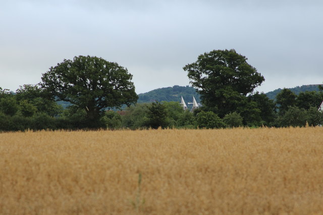
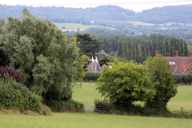
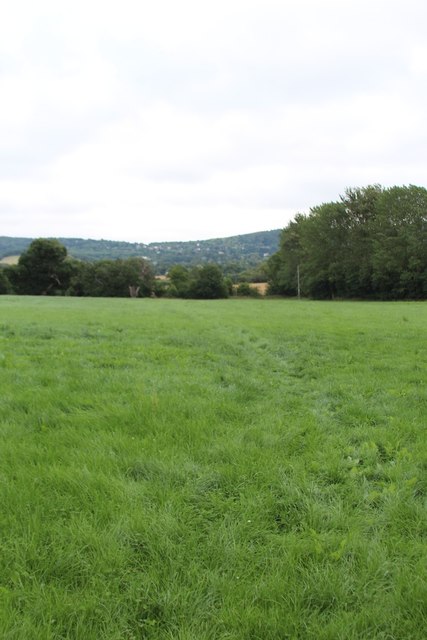
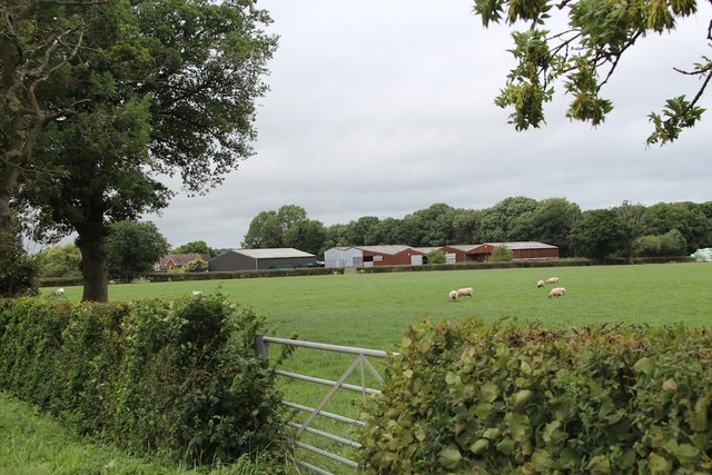
Bush Wood Images
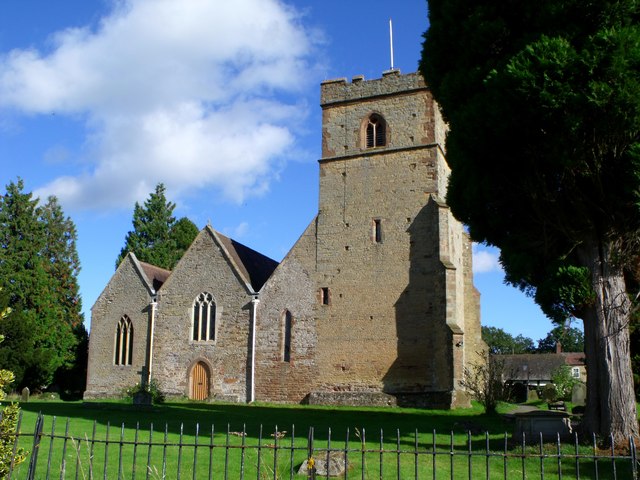
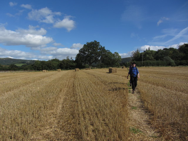
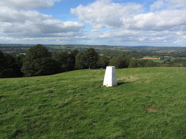
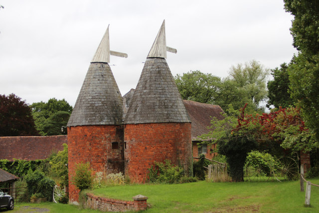
Images are sourced within 2km of 52.090355/-2.3948509 or Grid Reference SO7343. Thanks to Geograph Open Source API. All images are credited.


Bush Wood is located at Grid Ref: SO7343 (Lat: 52.090355, Lng: -2.3948509)
Unitary Authority: County of Herefordshire
Police Authority: West Mercia
What 3 Words
///shirtless.lists.payout. Near Great Malvern, Worcestershire
Nearby Locations
Related Wikis

Coddington, Herefordshire
Coddington is a hamlet and civil parish in eastern Herefordshire, England, about 3 miles (4.8 km) north of Ledbury. The west side of the parish covers...

Mathon, Herefordshire
Mathon is a small village and civil parish in eastern Herefordshire, England, lying just to the west of the Malvern Hills between Malvern and Ledbury....

Hope End
Hope End is an area and former estate of Herefordshire, England, near the Malvern Hills, noted for its literary associations. As described by a 19th-century...
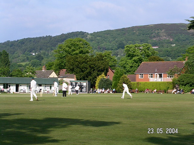
Stowe Lane
Stowe Lane is a cricket ground in Colwall, Herefordshire. The first recorded county match on the ground was in 1974, when the Worcestershire Second XI...
Nearby Amenities
Located within 500m of 52.090355,-2.3948509Have you been to Bush Wood?
Leave your review of Bush Wood below (or comments, questions and feedback).