Cowcaddens
Settlement in Lanarkshire
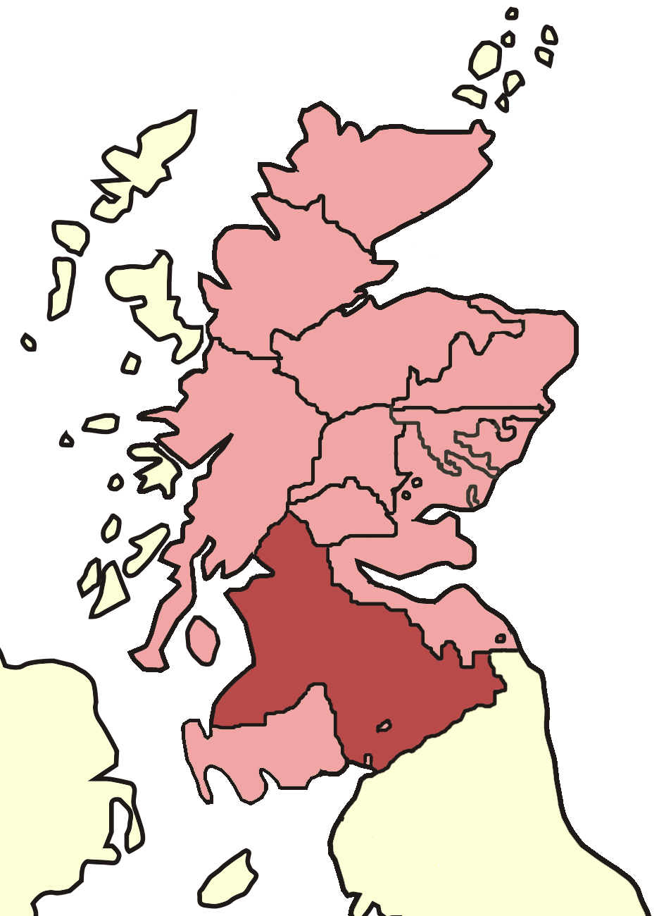
Scotland
Cowcaddens

Cowcaddens is a district located in the city of Glasgow, Scotland. It is situated on the north bank of the River Clyde and falls within the boundaries of the historic county of Lanarkshire. With a history dating back to the 19th century, Cowcaddens has undergone significant changes over the years, transforming from a residential area to a bustling commercial and cultural hub.
The district is well-connected and benefits from excellent transport links. Cowcaddens Subway Station provides easy access to the city center, while several bus routes also pass through the area. Its convenient location makes it a popular choice for commuters and those looking for easy access to the city's amenities.
Cowcaddens is known for its vibrant and diverse community. The district is home to a mix of cultures and ethnicities, contributing to its rich cultural fabric. It offers a range of amenities such as shops, restaurants, and cafes, catering to the diverse needs of its residents.
One of the notable landmarks in Cowcaddens is the Glasgow School of Art, which attracts students and art enthusiasts from around the world. The area also hosts various cultural events and festivals, showcasing the talents of local artists and performers.
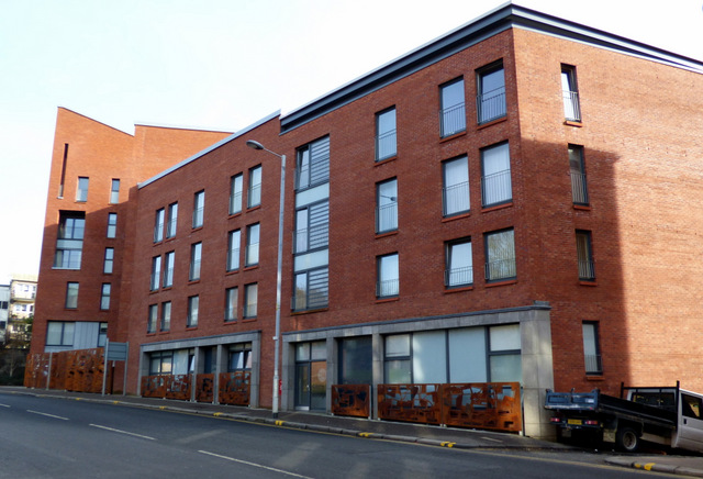
In recent years, Cowcaddens has seen significant redevelopment, with the creation of modern residential complexes and the improvement of public spaces. This has helped revitalize the district, making it an attractive place to live and visit.
Overall, Cowcaddens, Lanarkshire, offers a vibrant and multicultural environment, with excellent transport links and a range of amenities, making it a desirable place to live or explore when visiting Glasgow.
If you have any feedback on the listing, please let us know in the comments section below.
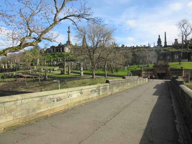
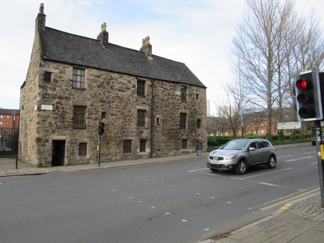
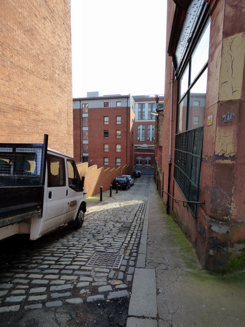
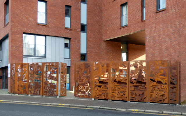
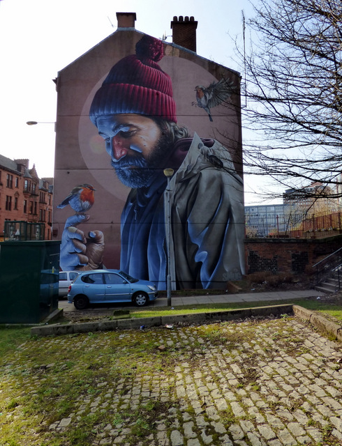
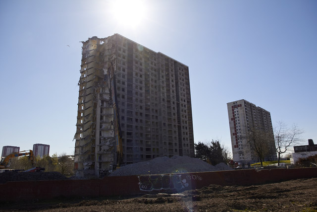
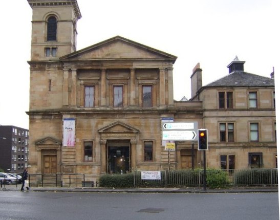
Cowcaddens Images
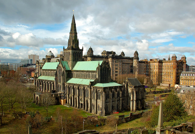
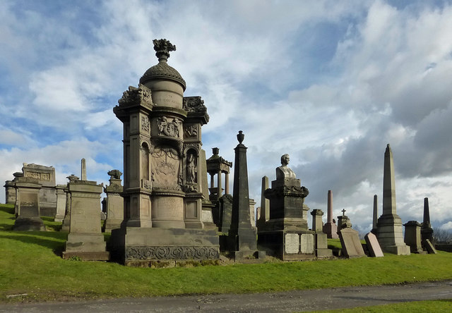
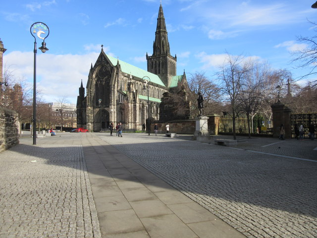
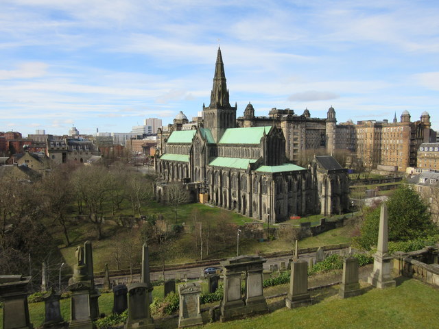
Images are sourced within 2km of 55.86804/-4.2547516 or Grid Reference NS5966. Thanks to Geograph Open Source API. All images are credited.


Cowcaddens is located at Grid Ref: NS5966 (Lat: 55.86804, Lng: -4.2547516)
Unitary Authority: City of Glasgow
Police Authority: Greater Glasgow
What 3 Words
///hook.zoom.puddles. Near Glasgow
Nearby Locations
Related Wikis
National Piping Centre
The National Piping Centre is an institution in Glasgow, Scotland, dedicated to the playing of the bagpipes, to include not only the Great Highland Bagpipes...

Alexandra Music Hall
Alexandra Music Hall, also known as the Royal Alexandra Music Hall, and as the Colosseum Hall in the early 1880s, was a music hall situated in the Cowcaddens...
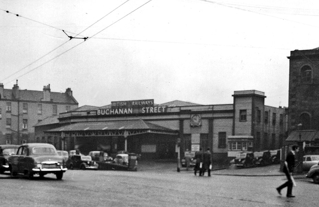
Buchanan Street railway station
Buchanan Street station is a former railway station in Glasgow. Less well known than the city's other terminus stations – Central, Queen Street and St...
The National (Scotland)
The National is a Scottish daily newspaper owned by Newsquest. It began publication on 24 November 2014, and was the first daily newspaper in Scotland...
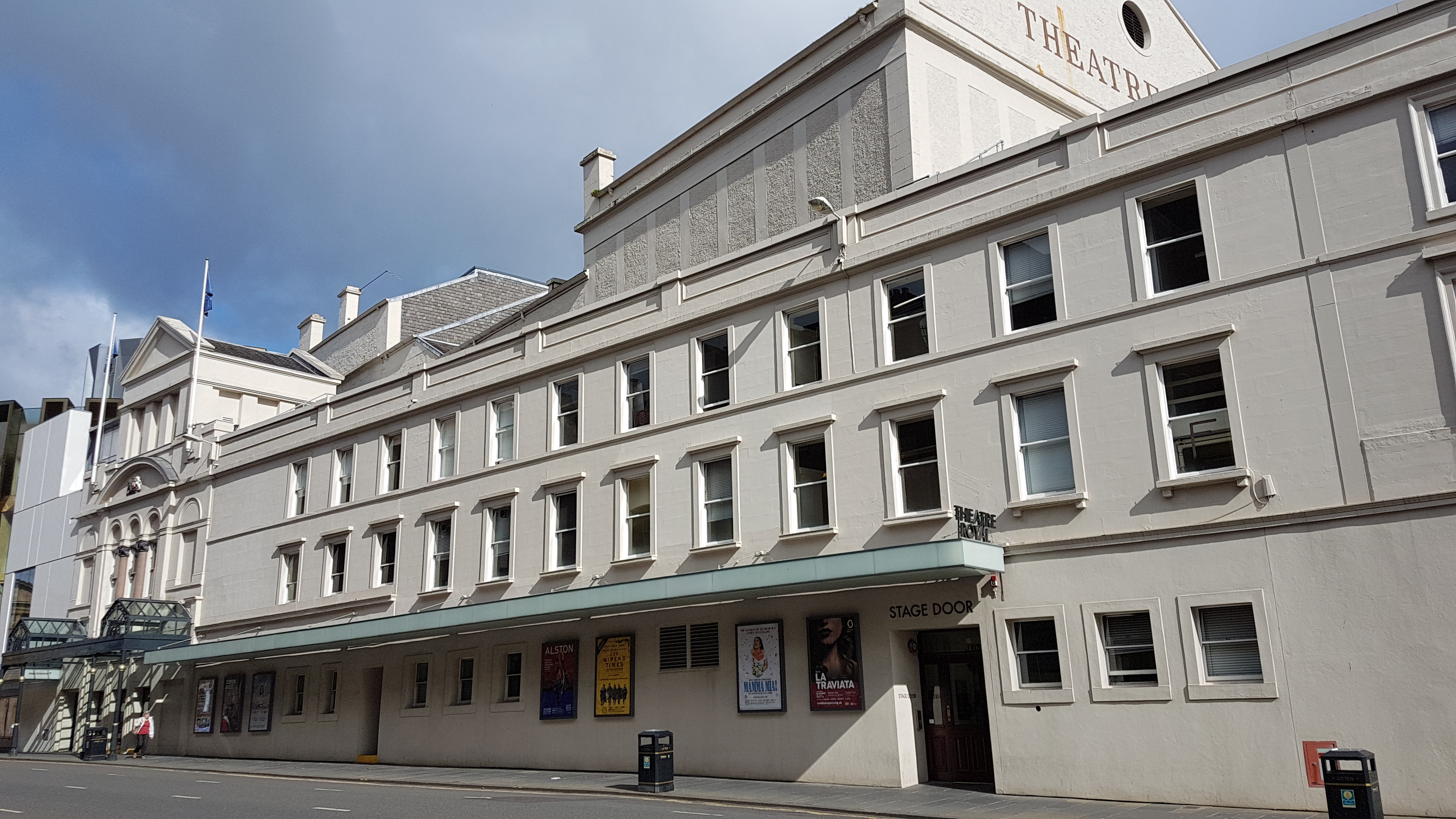
Theatre Royal, Glasgow
The Theatre Royal is the oldest theatre in Glasgow and the longest running in Scotland. Located at 282 Hope Street, its front door was originally round...
Archdiocese of Glasgow
The Archdiocese of Glasgow was one of the thirteen (after 1633 fourteen) dioceses of the Scottish church. It was the second largest diocese in the Kingdom...
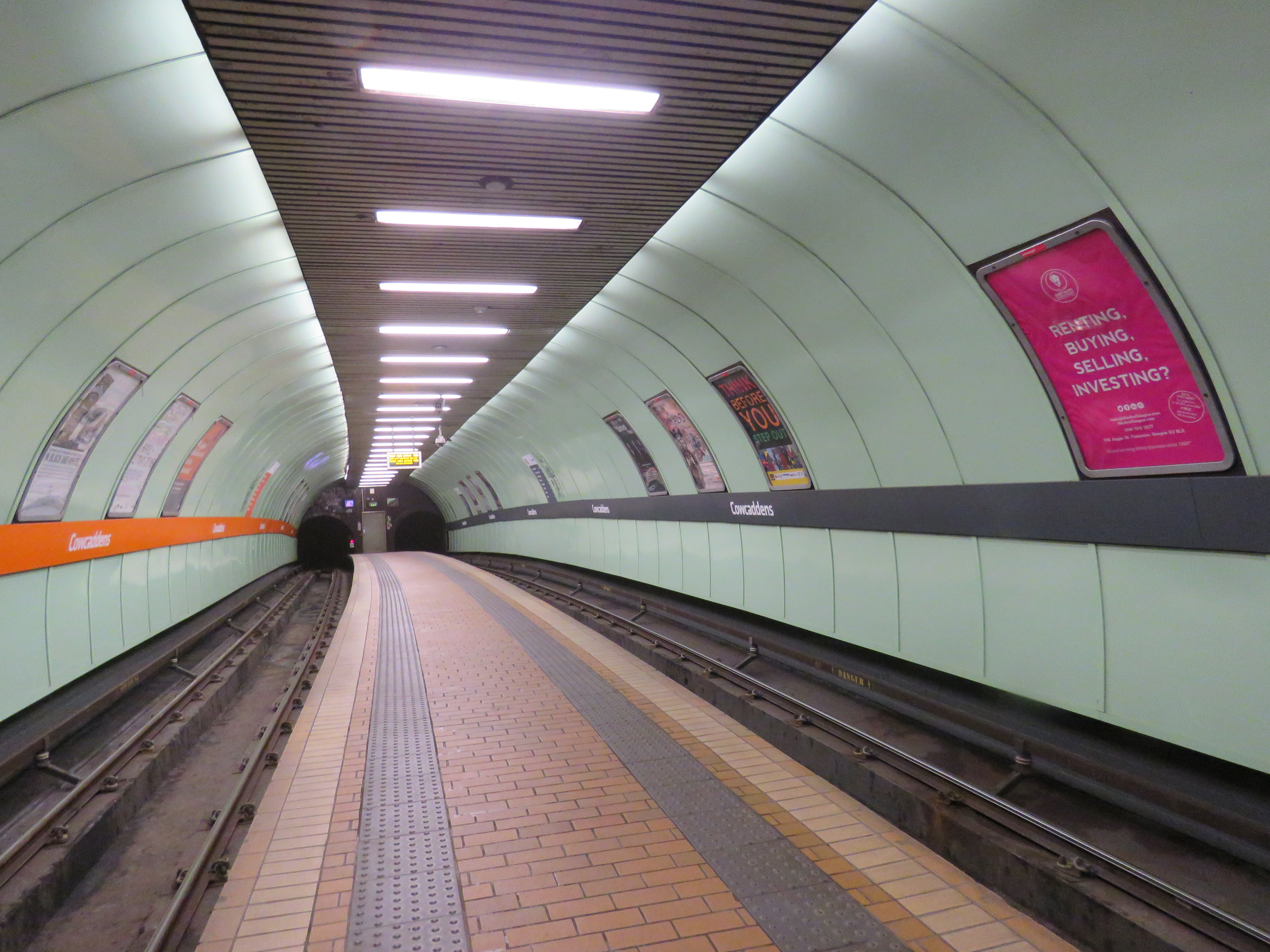
Cowcaddens subway station
Cowcaddens subway station serves the Cowcaddens area of Glasgow, Scotland. It is located on the north side of the city centre and is served by the Glasgow...
Glasgow School for Business and Society
The Glasgow School for Business and Society is the business school of Glasgow Caledonian University, and was established in 2002, originally named the...
Nearby Amenities
Located within 500m of 55.86804,-4.2547516Have you been to Cowcaddens?
Leave your review of Cowcaddens below (or comments, questions and feedback).