Broomy Hill Coppice
Wood, Forest in Herefordshire
England
Broomy Hill Coppice
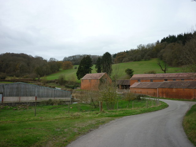
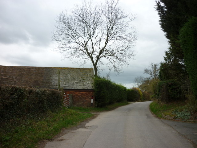
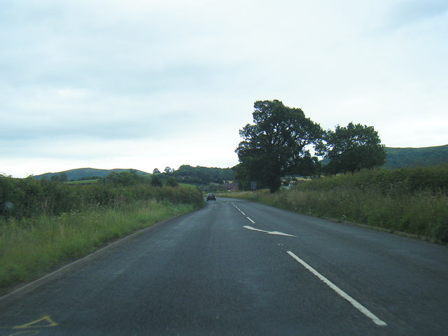
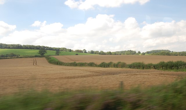
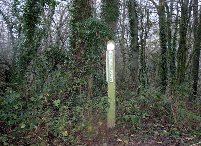
Broomy Hill Coppice is a picturesque woodland located in Herefordshire, a county in the West Midlands region of England. Situated near the village of Broomy Hill, it covers an area of approximately 50 acres and is known for its diverse range of tree species and thriving wildlife.
The coppice is predominantly composed of broadleaf trees, including oak, beech, and ash, which create a dense and lush canopy. These trees have been managed through coppicing, a traditional woodland management technique, which involves periodically cutting back the trees to stimulate new growth and provide a sustainable supply of wood.
The woodland floor is adorned with a variety of wildflowers, such as bluebells and primroses, creating a vibrant carpet of colors during the spring season. The interwoven branches and dense undergrowth provide shelter and nesting sites for many bird species, including woodpeckers, nuthatches, and tawny owls.
Broomy Hill Coppice is also home to several mammal species, including badgers, foxes, and deer. These animals can often be spotted roaming the woodland trails or foraging for food in the undergrowth. Additionally, the coppice is a haven for a multitude of insects, including butterflies, bees, and beetles, which play a crucial role in pollination and maintaining the delicate ecological balance of the area.
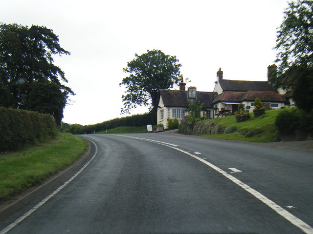
The woodland is a popular destination for nature enthusiasts and walkers who come to enjoy the peaceful atmosphere and explore the network of trails that wind through the trees. Broomy Hill Coppice truly offers a tranquil escape into the heart of nature in Herefordshire.
If you have any feedback on the listing, please let us know in the comments section below.
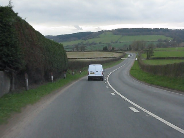
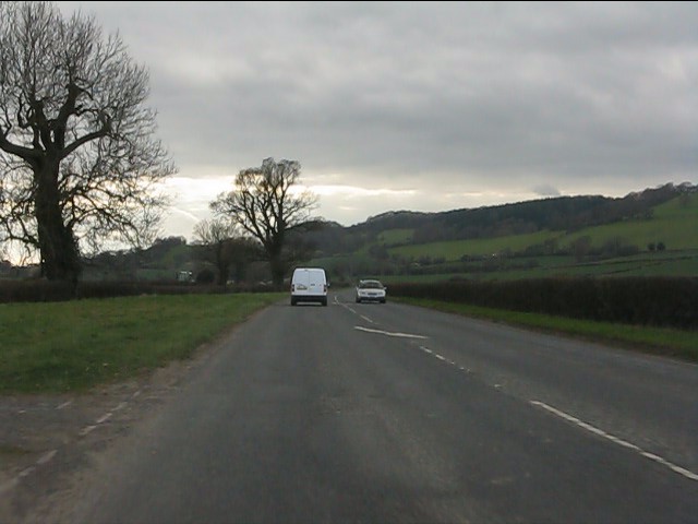
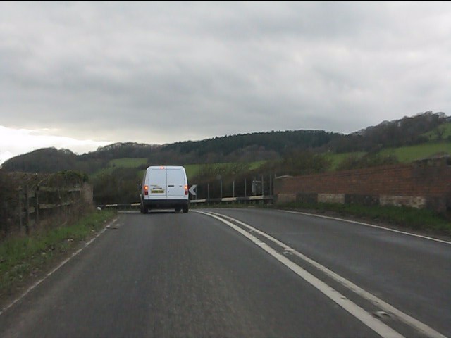
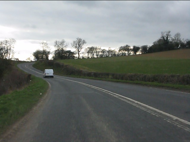
Broomy Hill Coppice Images
Images are sourced within 2km of 52.062558/-2.3995359 or Grid Reference SO7240. Thanks to Geograph Open Source API. All images are credited.


Broomy Hill Coppice is located at Grid Ref: SO7240 (Lat: 52.062558, Lng: -2.3995359)
Unitary Authority: County of Herefordshire
Police Authority: West Mercia
What 3 Words
///sprawls.skewed.vies. Near Ledbury, Herefordshire
Nearby Locations
Related Wikis

Hope End
Hope End is an area and former estate of Herefordshire, England, near the Malvern Hills, noted for its literary associations. As described by a 19th-century...

Wellington Heath
Wellington Heath is a small village and civil parish in Herefordshire, England, approximately 1.5 miles (2.4 km) north of Ledbury. The population was recorded...

Coddington, Herefordshire
Coddington is a hamlet and civil parish in eastern Herefordshire, England, about 3 miles (4.8 km) north of Ledbury. The west side of the parish covers...

Ledbury Tunnel
Ledbury Tunnel is a single-track railway tunnel immediately to the east of Ledbury railway station on the Cotswold Line, in Herefordshire, England. The...
Stowe Lane
Stowe Lane is a cricket ground in Colwall, Herefordshire. The first recorded county match on the ground was in 1974, when the Worcestershire Second XI...

Ledbury Signal Box
Ledbury Signal Box is a typical Great Western Railway traditional lever frame signal box which remains in daily use at Ledbury Station, Herefordshire,...
Ledbury railway station
Ledbury railway station is located on the outskirts of the town of Ledbury, on the Worcester to Hereford line in the English Midlands. It has regular services...

The Elms School, Colwall
The Elms School is a co-educational private boarding prep school located in Colwall, Herefordshire, England. Including the Early Years and Pre-Prep departments...
Nearby Amenities
Located within 500m of 52.062558,-2.3995359Have you been to Broomy Hill Coppice?
Leave your review of Broomy Hill Coppice below (or comments, questions and feedback).