Lavenger Coppice
Wood, Forest in Herefordshire
England
Lavenger Coppice
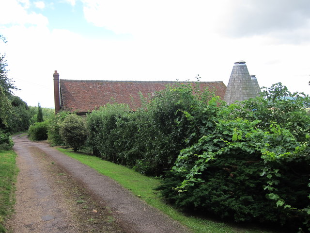
Lavenger Coppice is a picturesque woodland located in Herefordshire, England. It is a serene and tranquil forest that covers an area of approximately 200 acres. The coppice is known for its diverse range of trees, including oak, beech, birch, and ash, which create a stunning canopy of foliage throughout the year.
The woodland is home to a rich variety of wildlife, providing a natural habitat for many species. Visitors may be lucky enough to spot deer, foxes, badgers, and a wide array of bird species, making it an ideal location for nature enthusiasts and birdwatchers. The peaceful atmosphere and the soothing sounds of birdsong make it a haven for those seeking respite from the bustling city life.
Lavenger Coppice offers numerous walking trails, allowing visitors to explore the forest at their own pace. These trails wind through the ancient trees, offering breathtaking views of the surrounding countryside. For those who prefer a more adventurous experience, there are also mountain biking trails that cater to all skill levels.
The forest is well-maintained, with clear paths and signposts, ensuring that visitors can navigate their way easily. Additionally, there are designated picnic areas and benches scattered throughout the woodland, providing the perfect spot to enjoy a packed lunch amidst the natural beauty.
Lavenger Coppice is a true gem in Herefordshire, offering a serene escape into nature. Whether it is a leisurely stroll, a bike ride, or a wildlife-spotting expedition, visitors are sure to be captivated by the beauty and tranquility of this enchanting forest.
If you have any feedback on the listing, please let us know in the comments section below.
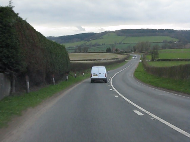
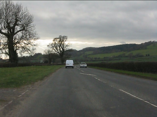
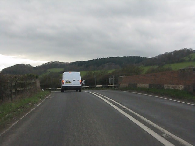
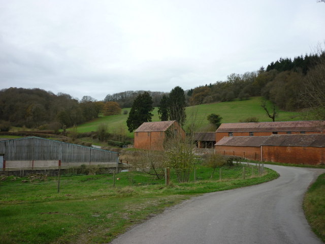
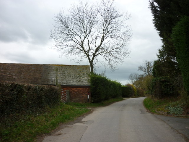
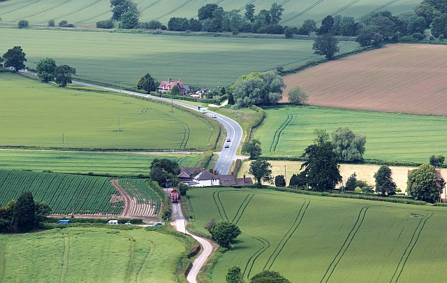
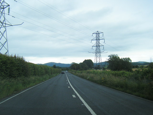
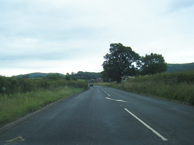
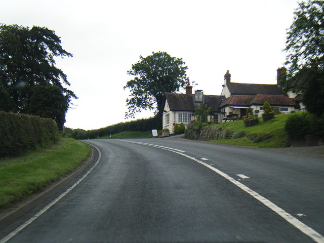
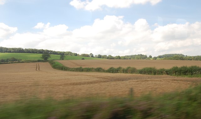
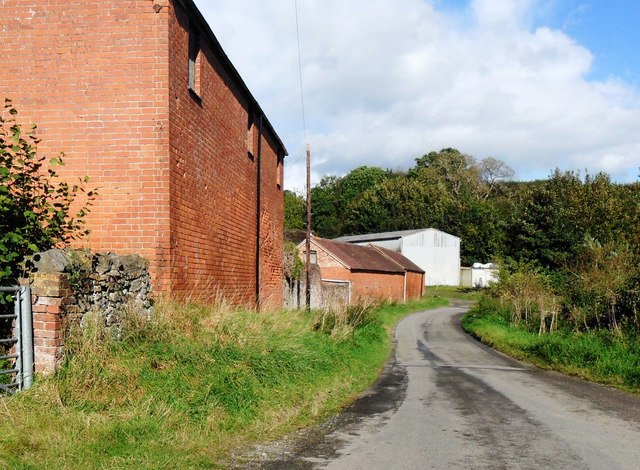
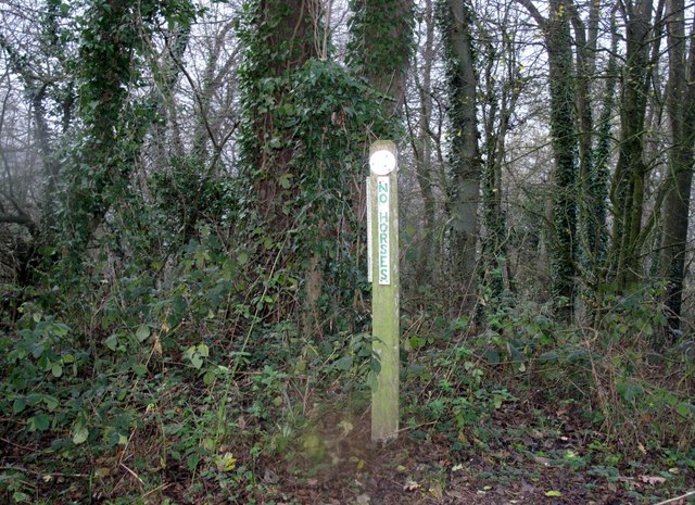
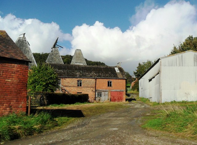
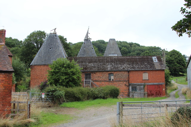
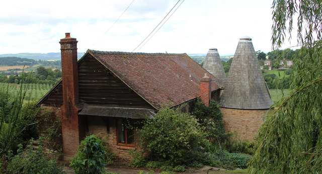
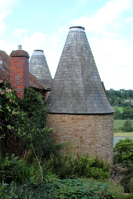
Lavenger Coppice Images
Images are sourced within 2km of 52.064494/-2.4012598 or Grid Reference SO7240. Thanks to Geograph Open Source API. All images are credited.

Lavenger Coppice is located at Grid Ref: SO7240 (Lat: 52.064494, Lng: -2.4012598)
Unitary Authority: County of Herefordshire
Police Authority: West Mercia
What 3 Words
///remaking.jumpy.remainder. Near Ledbury, Herefordshire
Nearby Locations
Related Wikis

Hope End
Hope End is an area and former estate of Herefordshire, England, near the Malvern Hills, noted for its literary associations. As described by a 19th-century...

Wellington Heath
Wellington Heath is a small village and civil parish in Herefordshire, England, approximately 1.5 miles (2.4 km) north of Ledbury. The population was recorded...

Coddington, Herefordshire
Coddington is a hamlet and civil parish in eastern Herefordshire, England, about 3 miles (4.8 km) north of Ledbury. The west side of the parish covers...

Ledbury Tunnel
Ledbury Tunnel is a single-track railway tunnel immediately to the east of Ledbury railway station on the Cotswold Line, in Herefordshire, England. The...
Nearby Amenities
Located within 500m of 52.064494,-2.4012598Have you been to Lavenger Coppice?
Leave your review of Lavenger Coppice below (or comments, questions and feedback).