Ranksborough Gorse

Wood, Forest in Dorset

England

Ranksborough Gorse

Old Bridge Marker on King's Stag Bridge, The Common, Pulham parish Bridge Marker by the UC road, in parish of Pulham (North Dorset District), The Common, King's Stag Bridge.

Inscription reads:-
DORSET
ANY PERSON WILFULLY INJURING
ANY PART OF THIS COUNTY BRIDGE
WILL BE GUILTY OF FELONY AND
UPON CONVICTION LIABLE TO BE
TRANSPORTED FOR LIFE
BY THE COURT
7&8 GEO 4 C30 S13 T FOOKS

King's Stag Bridge is Grade II listed in two parts - one part for each parish.
Hazlebury Bryan parish - List Entry Number: 1287981 <span class="nowrap"><a title="https://historicengland.org.uk/listing/the-list/list-entry/1287981" rel="nofollow ugc noopener" href="https://historicengland.org.uk/listing/the-list/list-entry/1287981">Link</a><img style="margin-left:2px;" alt="External link" title="External link - shift click to open in new window" src="https://s1.geograph.org.uk/img/external.png" width="10" height="10"/></span>
Pulham parish - List Entry Number: 1228069 <span class="nowrap"><a title="https://historicengland.org.uk/listing/the-list/list-entry/1228069" rel="nofollow ugc noopener" href="https://historicengland.org.uk/listing/the-list/list-entry/1228069">Link</a><img style="margin-left:2px;" alt="External link" title="External link - shift click to open in new window" src="https://s1.geograph.org.uk/img/external.png" width="10" height="10"/></span>

Surveyed

Milestone Society National ID: DO_TRAKISbr
Old Bridge Marker on King's Stag Bridge, The Common, Pulham parish Credit: Milestone Society

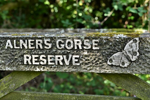
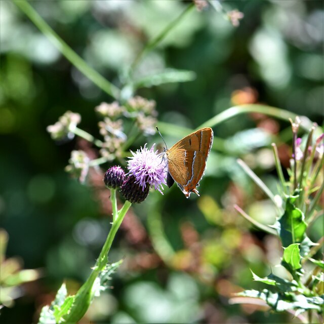
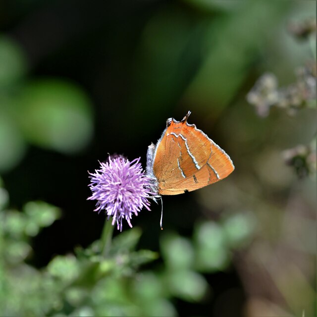
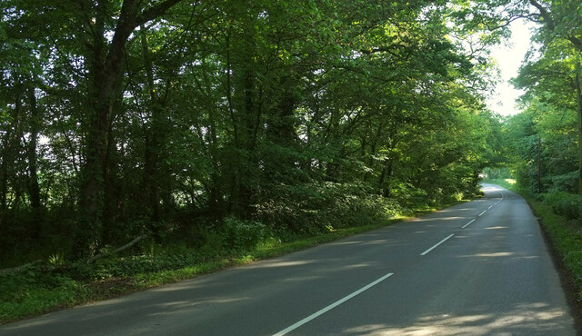
Ranksborough Gorse is a small woodland located in the county of Dorset, England. Situated in the heart of the county, it covers an area of approximately 50 acres. The woodland is known for its diverse range of flora and fauna, making it a popular destination for nature enthusiasts and wildlife photographers.

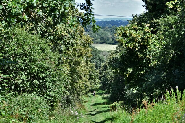
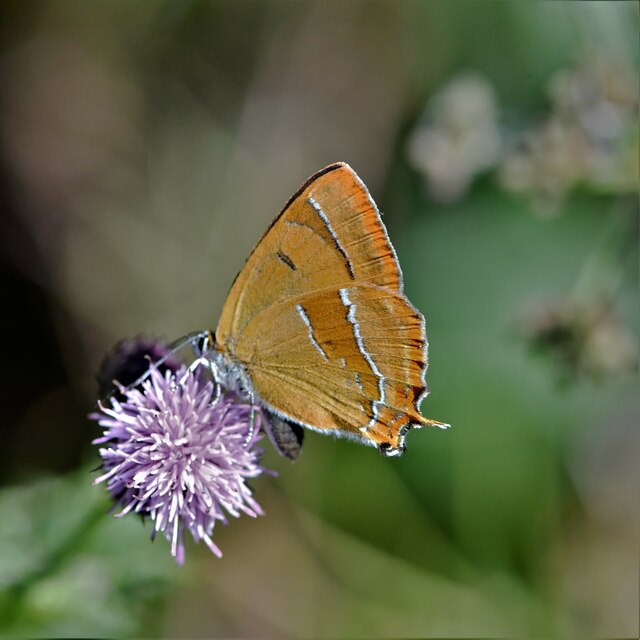
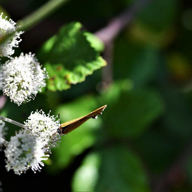
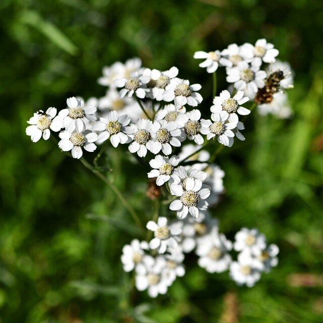
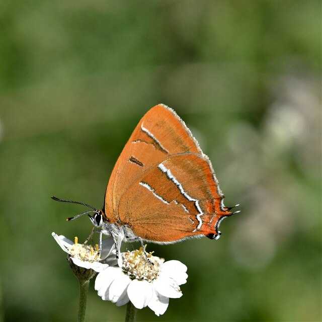
The gorse, a spiny evergreen shrub, dominates the landscape of Ranksborough Gorse. Its vibrant yellow flowers can be seen in abundance during the spring and summer months, creating a stunning display of color. The woodland is also home to a variety of other tree species, including oak, birch, and beech, which provide a rich and varied habitat for many different species of birds and mammals.

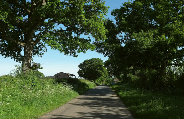
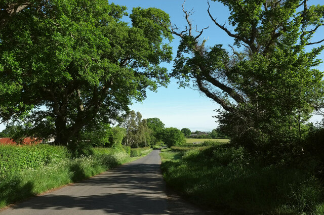
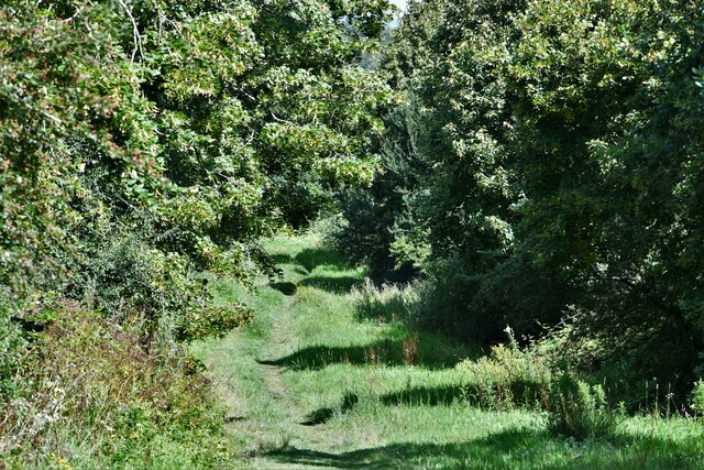
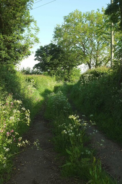
Visitors to Ranksborough Gorse can enjoy a number of well-maintained trails that wind through the woodland, allowing for pleasant walks and hikes. These paths offer stunning views of the surrounding countryside, including rolling hills and picturesque valleys.

One of the notable features of Ranksborough Gorse is its tranquil atmosphere. The woodland is a peaceful retreat away from the hustle and bustle of city life, providing visitors with a chance to relax and enjoy the beauty of nature. It is not uncommon to spot deer, foxes, and rabbits during a visit to the woodland, adding to its charm and appeal.

Overall, Ranksborough Gorse is a hidden gem in Dorset, offering a unique and enchanting woodland experience. Whether you are a nature lover, a photographer, or simply seeking a peaceful escape, this woodland is certainly worth a visit.

If you have any feedback on the listing, please let us know in the comments section below.

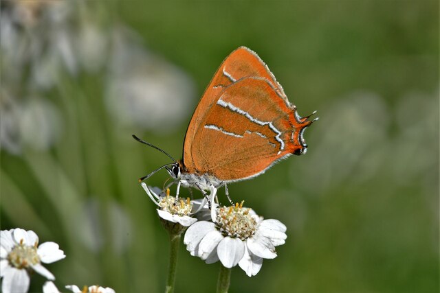
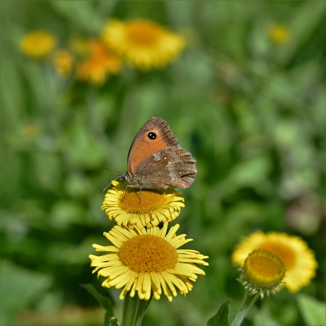
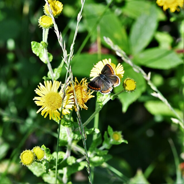
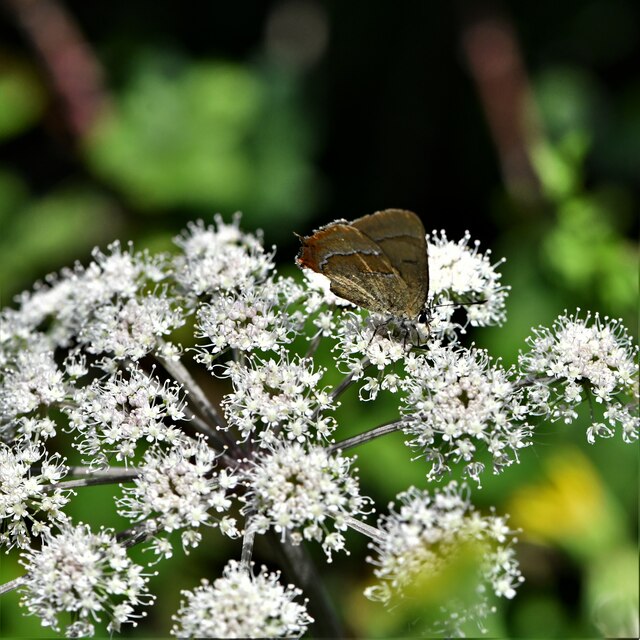
Ranksborough Gorse Images

Images are sourced within 2km of 50.888689/-2.3953321 or Grid Reference ST7209. Thanks to Geograph Open Source API. All images are credited.

Old Bridge Marker on King's Stag Bridge, The Common, Pulham parish Bridge Marker by the UC road, in parish of Pulham (North Dorset District), The Common, King's Stag Bridge.

Inscription reads:-
DORSET
ANY PERSON WILFULLY INJURING
ANY PART OF THIS COUNTY BRIDGE
WILL BE GUILTY OF FELONY AND
UPON CONVICTION LIABLE TO BE
TRANSPORTED FOR LIFE
BY THE COURT
7&8 GEO 4 C30 S13 T FOOKS

King's Stag Bridge is Grade II listed in two parts - one part for each parish.
Hazlebury Bryan parish - List Entry Number: 1287981 <span class="nowrap"><a title="https://historicengland.org.uk/listing/the-list/list-entry/1287981" rel="nofollow ugc noopener" href="https://historicengland.org.uk/listing/the-list/list-entry/1287981">Link</a><img style="margin-left:2px;" alt="External link" title="External link - shift click to open in new window" src="https://s1.geograph.org.uk/img/external.png" width="10" height="10"/></span>
Pulham parish - List Entry Number: 1228069 <span class="nowrap"><a title="https://historicengland.org.uk/listing/the-list/list-entry/1228069" rel="nofollow ugc noopener" href="https://historicengland.org.uk/listing/the-list/list-entry/1228069">Link</a><img style="margin-left:2px;" alt="External link" title="External link - shift click to open in new window" src="https://s1.geograph.org.uk/img/external.png" width="10" height="10"/></span>

Surveyed

Milestone Society National ID: DO_TRAKISbr
Old Bridge Marker on King's Stag Bridge, The Common, Pulham parish
Bridge Marker by the UC road, in parish of Pulham (North Dorset District), The Common, King's Stag Bridge. Inscription reads:- DORSET ANY PERSON WILFULLY INJURING ANY PART OF THIS COUNTY BRIDGE WILL BE GUILTY OF FELONY AND UPON CONVICTION LIABLE TO BE TRANSPORTED FOR LIFE BY THE COURT 7&8 GEO 4 C30 S13 T FOOKS King's Stag Bridge is Grade II listed in two parts - one part for each parish. Hazlebury Bryan parish - List Entry Number: 1287981 LinkExternal link Pulham parish - List Entry Number: 1228069 LinkExternal link Surveyed Milestone Society National ID: DO_TRAKISbr
Passing Holwell Hill Farm On the lane from Pulham to Holwell.
Passing Holwell Hill Farm
On the lane from Pulham to Holwell.
Lane to Holwell A little further north from <a href="https://www.geograph.org.uk/photo/7184565">ST7010 : Passing Holwell Hill Farm</a>. A little of the village of Holwell is visible ahead right of centre.
Lane to Holwell
A little further north from ST7010 : Passing Holwell Hill Farm. A little of the village of Holwell is visible ahead right of centre.
Alners Gorse Butterfly Reserve: Main track
Alners Gorse Butterfly Reserve: Sign
Alners Gorse Butterfly Reserve: Main track
Alners Gorse Butterfly Reserve: Brown Hairstreak 'Thecla betulae' 1
Alners Gorse Butterfly Reserve: Brown Hairstreak 'Thecla betulae' 2
Alners Gorse Butterfly Reserve: Brown Hairstreak 'Thecla betulae' 3
Alners Gorse Butterfly Reserve: Brown Hairstreak 'Thecla betulae' 4
Alners Gorse Butterfly Reserve: Sneezewort 'Achillea ptarmica'
Alners Gorse Butterfly Reserve: Brown Hairstreak 'Thecla betulae' 5
Alners Gorse Butterfly Reserve: Brown Hairstreak 'Thecla betulae' 6
Alners Gorse Butterfly Reserve: Gatekeeper 'Pyronia tithonus' on Fleabane 'Pulicaria dysenterica'
Alners Gorse Butterfly Reserve: Brown argus 'Aricia agestis'
Alners Gorse Butterfly Reserve: White Letter Hairstreak 'Satyrium w-album' A very elusive butterfly.
Alners Gorse Butterfly Reserve: White Letter Hairstreak 'Satyrium w-album'
A very elusive butterfly.
B3143 northeast of Pulham The B road runs between two narrow belts of trees towards King's Stag.
B3143 northeast of Pulham
The B road runs between two narrow belts of trees towards King's Stag.
Footpath, Furze Hill Footpath N49 14 runs along this track between hedges from the B3143 before turning left to cross fields.
Footpath, Furze Hill
Footpath N49 14 runs along this track between hedges from the B3143 before turning left to cross fields.
Show me another place!

Ranksborough Gorse is located at Grid Ref: ST7209 (Lat: 50.888689, Lng: -2.3953321)

Unitary Authority: Dorset

Police Authority: Dorset

What 3 Words

///kitchen.exclusive.reject. Near Sturminster Newton, Dorset

Related Wikis

King's Stag Memorial Chapel

King's Stag Memorial Chapel is a Church of England chapel in King's Stag, Dorset, England. == History == The memorial chapel at King's Stag was built in...

Pulham

Pulham is a village and civil parish in the county of Dorset in south-west England. It is situated in the Blackmore Vale, 7 miles (11 kilometres) southeast...

Holwell, Dorset

Holwell is a village and civil parish in the county of Dorset in southern England, situated approximately 5 miles (8.0 km) south-east of Sherborne. It...

Woodbridge, Dorset

Woodbridge is a hamlet in Dorset, England. The village is on the A3030 road and to the north east of Holwell. == History == Woodbridge was part of the...

Nearby Amenities

Located within 500m of 50.888689,-2.3953321
King's Stag
Place: village
Lat/Long: 50.8926505/-2.3940855
The data included in this document is from www.openstreetmap.org. The data is made available under ODbL.

Have you been to Ranksborough Gorse?

Leave your review of Ranksborough Gorse below (or comments, questions and feedback).