Glovers Green
Wood, Forest in Shropshire
England
Glovers Green

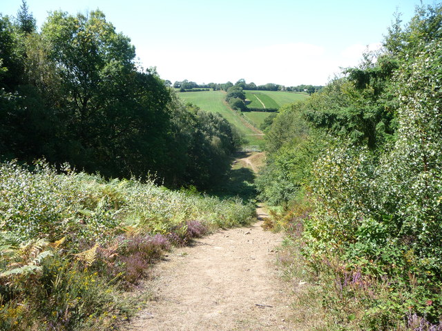
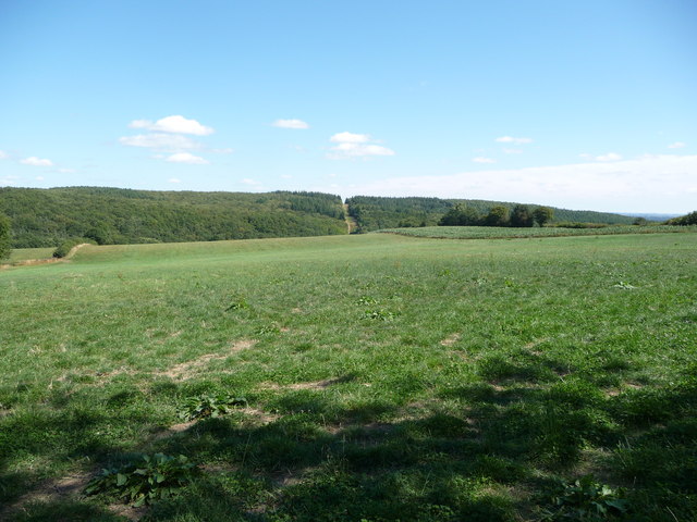
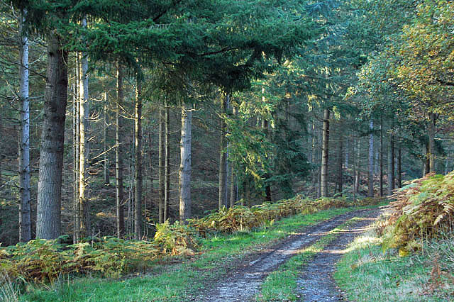
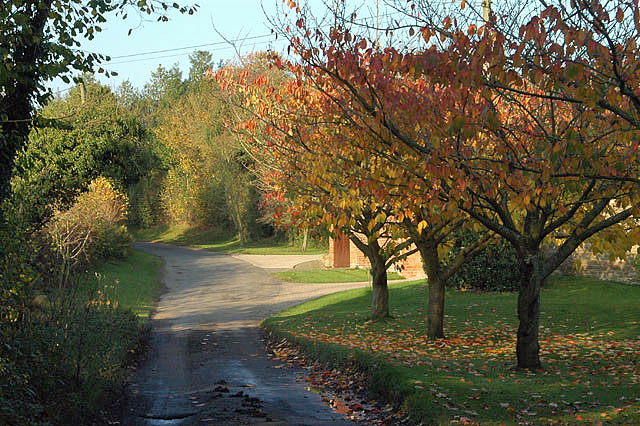
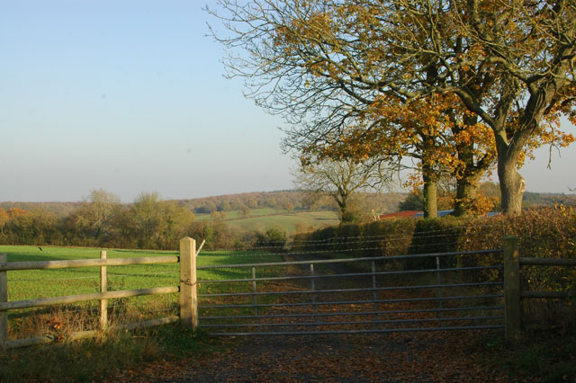
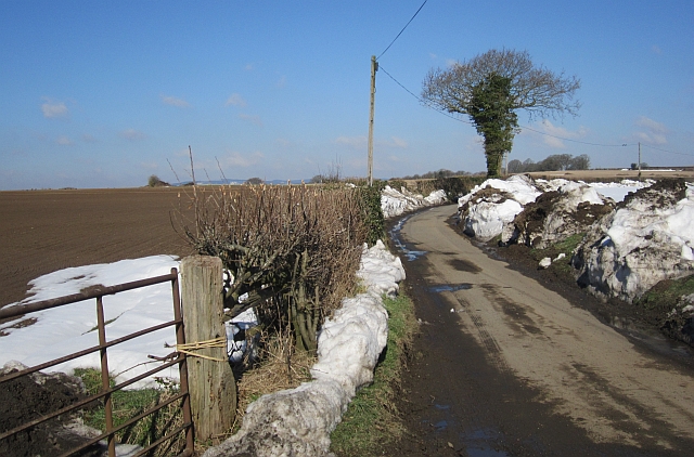
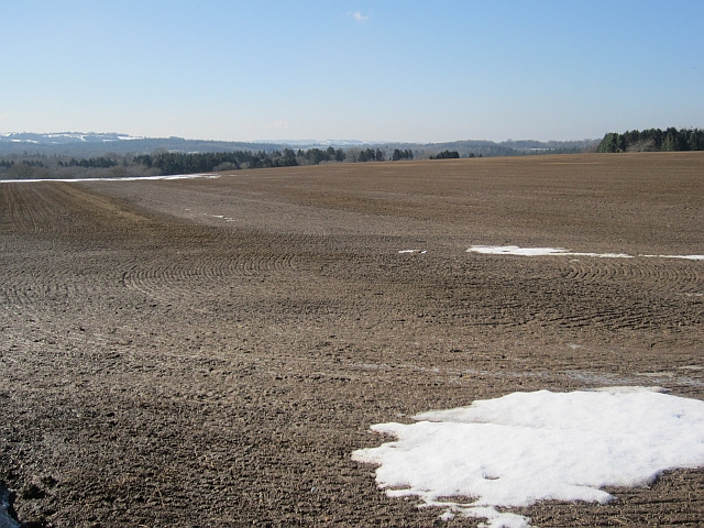
Glovers Green is a picturesque woodland area located in the county of Shropshire, England. Situated within the larger region known as Shropshire Hills, Glovers Green is known for its breathtaking natural beauty and serene surroundings. The area is characterized by dense forests and lush greenery, making it a popular destination for nature lovers and outdoor enthusiasts.
Covering an approximate area of 200 acres, Glovers Green is home to a diverse range of flora and fauna. The woodland is primarily composed of deciduous trees, such as oak, beech, and birch, which create a vibrant and ever-changing landscape throughout the seasons. The forest floor is adorned with a carpet of wildflowers, including bluebells, primroses, and foxgloves, adding bursts of color to the surroundings.
Glovers Green offers a tranquil escape from the hustle and bustle of city life. Visitors can enjoy leisurely walks along the numerous trails that wind through the woods, providing ample opportunities for birdwatching and wildlife spotting. The area is home to a variety of animal species, including deer, foxes, badgers, and an array of birdlife.
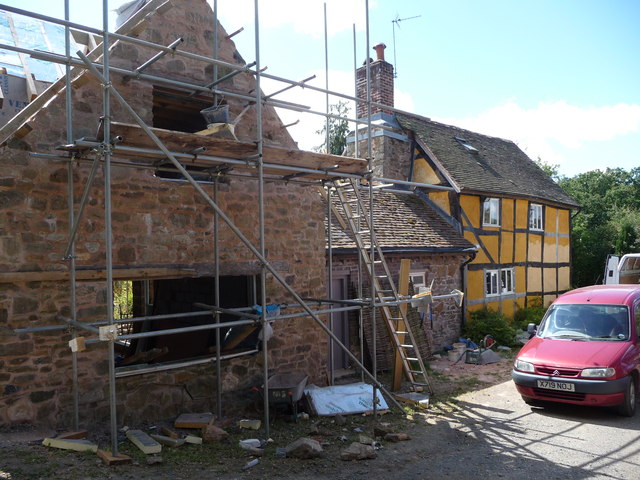
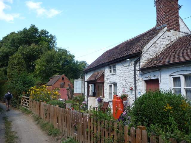
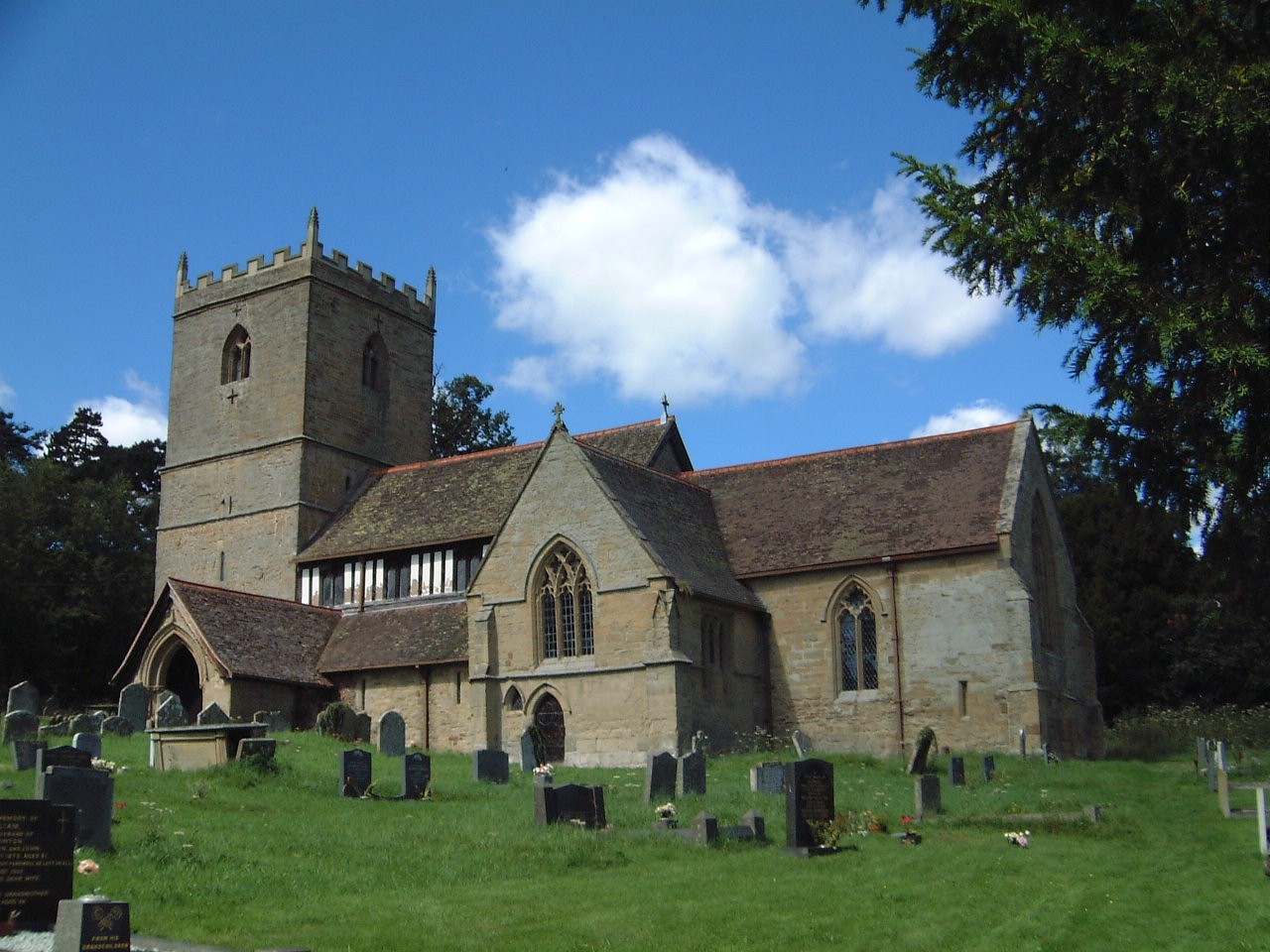
In addition to its natural beauty, Glovers Green also boasts a rich history. The area was once part of a larger estate and has remnants of ancient settlements and structures, adding an intriguing archaeological dimension to the woodland experience.
Overall, Glovers Green is a hidden gem in Shropshire, offering visitors a chance to immerse themselves in the tranquility of nature and explore the region's rich natural and historical heritage.
If you have any feedback on the listing, please let us know in the comments section below.
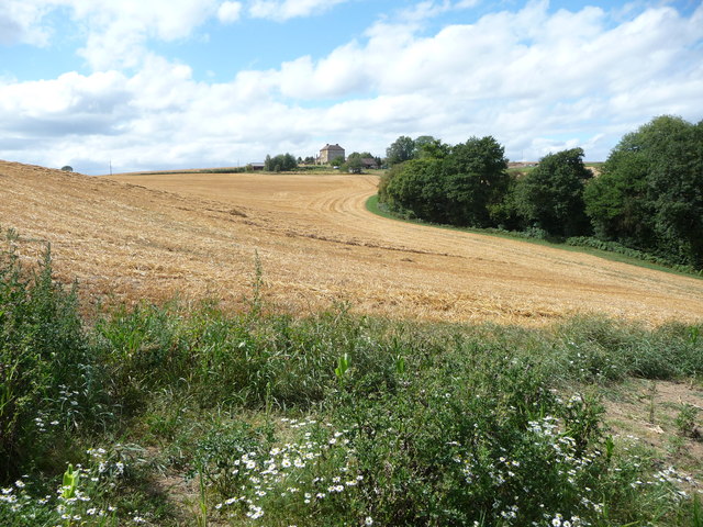
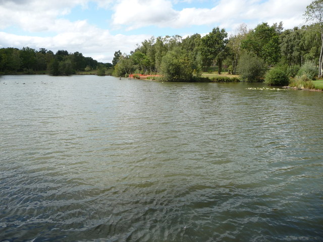
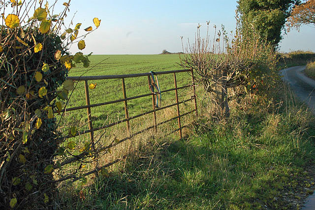
Glovers Green Images
Images are sourced within 2km of 52.396665/-2.4109988 or Grid Reference SO7277. Thanks to Geograph Open Source API. All images are credited.


Glovers Green is located at Grid Ref: SO7277 (Lat: 52.396665, Lng: -2.4109988)
Unitary Authority: Shropshire
Police Authority: West Mercia
What 3 Words
///elevator.flannel.routs. Near Cleobury Mortimer, Shropshire
Nearby Locations
Related Wikis

Wyre Forest railway station
Wyre Forest railway station was a station to the north of Far Forest, Worcestershire, England. The station which served the Wyre Forest was opened in 1869...
Kinlet
Kinlet is a small village and civil parish in the south-east of the county of Shropshire, England. The parish is on the northern edge of the Wyre Forest...

Coppicegate
Coppicegate is a small settlement in Shropshire, England. It is beside the Wyre Forest and is 10 kilometres (6 mi) northwest of Kidderminster. == External... ==

Cleobury Mortimer railway station
Cleobury Mortimer railway station was a station in Cleobury Mortimer, Shropshire, England. The station was opened in 1864 and closed in 1962. Station buildings...
Nearby Amenities
Located within 500m of 52.396665,-2.4109988Have you been to Glovers Green?
Leave your review of Glovers Green below (or comments, questions and feedback).