Grimehills Moor
Wood, Forest in Lancashire
England
Grimehills Moor
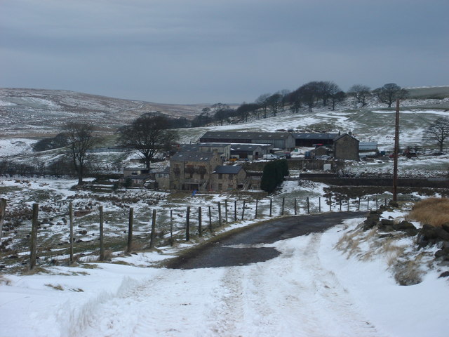
Grimehills Moor, located in Lancashire, England, is a picturesque woodland area known for its lush greenery and natural beauty. Spanning over several acres, this enchanting forest is a haven for nature lovers and outdoor enthusiasts alike.
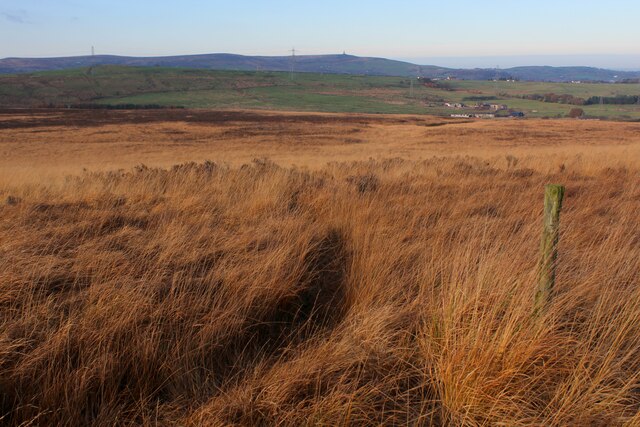
The moor is characterized by its dense woodlands, which are predominantly composed of oak, beech, and birch trees. These towering trees create a captivating canopy that filters sunlight, casting dappled shadows on the forest floor. The undergrowth consists of a variety of ferns, mosses, and wildflowers, adding to the moor's vibrant and diverse ecosystem.
The moor is home to a plethora of wildlife, including deer, foxes, rabbits, and a wide array of bird species. Nature enthusiasts can spot colorful songbirds flitting between branches or catch a glimpse of a majestic stag gracefully moving through the thick underbrush. This abundance of wildlife makes Grimehills Moor a popular destination for birdwatching and wildlife photography.
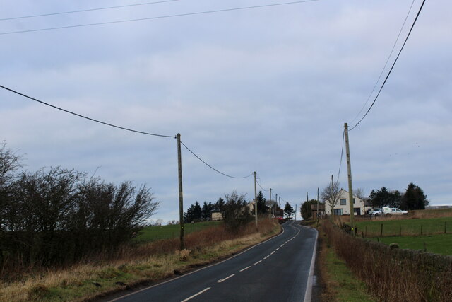
Traversing through the moor, visitors will find a network of well-maintained walking trails, allowing them to explore the area at their own pace. These trails wind through the woodland, offering breathtaking views of the surrounding countryside. Adorned with wooden benches and picnic spots, the moor provides a tranquil setting for visitors to relax and immerse themselves in nature.
Grimehills Moor is not only a natural gem but also holds historical significance. It is believed that ancient settlements once thrived in the area, with archaeological discoveries uncovering remnants of human activity dating back centuries.
Overall, Grimehills Moor is a captivating woodland that offers a delightful escape from the hustle and bustle of everyday life. Its natural beauty, diverse wildlife, and sense of tranquility make it a must-visit destination for nature enthusiasts and those seeking a peaceful retreat in Lancashire.
If you have any feedback on the listing, please let us know in the comments section below.
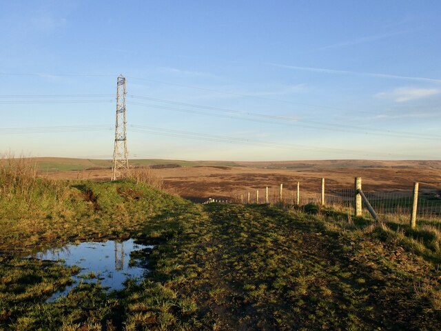
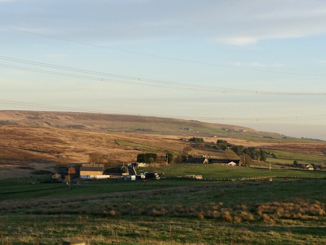
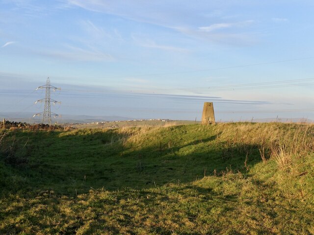
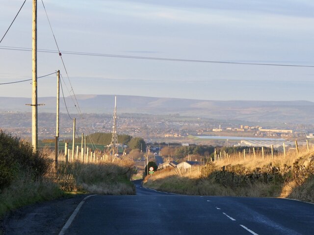
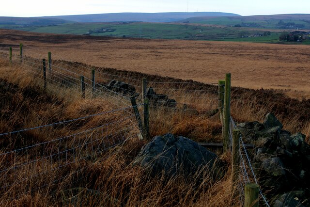
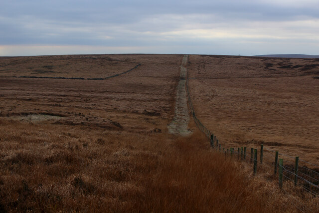
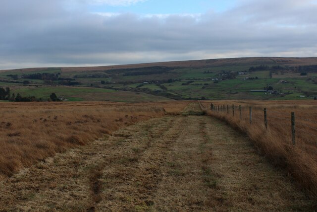
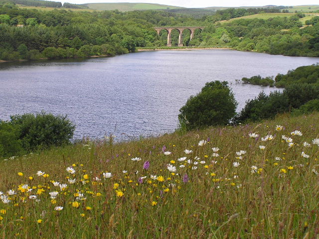
Grimehills Moor Images
Images are sourced within 2km of 53.673148/-2.425718 or Grid Reference SD7119. Thanks to Geograph Open Source API. All images are credited.


Grimehills Moor is located at Grid Ref: SD7119 (Lat: 53.673148, Lng: -2.425718)
Unitary Authority: Blackburn with Darwen
Police Authority: Lancashire
What 3 Words
///files.twigs.radar. Near Edgworth, Lancashire
Nearby Locations
Related Wikis

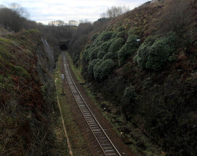
Whittlestone Head railway station
Whittlestone Head railway station served the hamlet of Whittlestone Head, Lancashire, England, in 1848 on the Blackburn, Darwen and Bolton Railway. �...
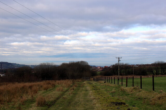
West Pennine Moors
The West Pennine Moors is an area of the Pennines covering approximately 90 square miles (230 km2) of moorland and reservoirs in Lancashire and Greater...
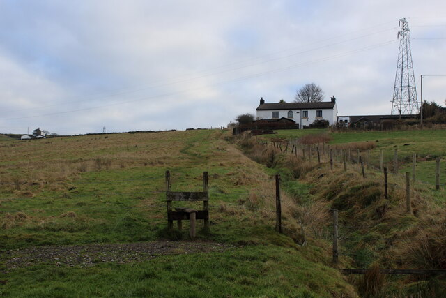
Cadshaw
Cadshaw is a village in the unitary borough of Blackburn with Darwen, in Lancashire, England.

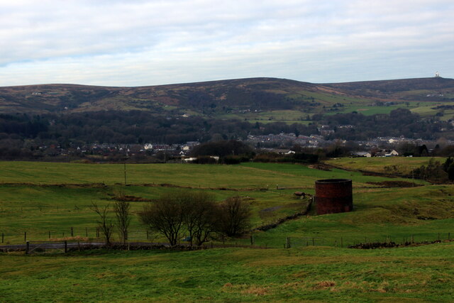
Entwistle railway station
Entwistle railway station (first opened in 1848) is 5+3⁄4 miles (9.3 km) north of Bolton and serves the village of Entwistle. It is also the closest station...
Nearby Amenities
Located within 500m of 53.673148,-2.425718Have you been to Grimehills Moor?
Leave your review of Grimehills Moor below (or comments, questions and feedback).