Backstone Gill Wood
Wood, Forest in Yorkshire South Lakeland
England
Backstone Gill Wood

Backstone Gill Wood is a picturesque woodland located in the county of Yorkshire, England. Situated in the northern part of the county, it forms part of the larger Yorkshire Dales National Park. This enchanting woodland spans approximately 100 acres and is renowned for its natural beauty and diverse flora and fauna.
The wood is characterized by its dense canopy of towering trees, predominantly consisting of oak and beech. These majestic trees provide a tranquil and shaded environment, ideal for leisurely walks and nature exploration. The forest floor is covered in a vibrant carpet of mosses, ferns, and wildflowers, creating a stunning tapestry of colors and textures.
Backstone Gill Wood is home to a wide range of wildlife species, making it a haven for nature enthusiasts and birdwatchers. The wood is inhabited by various bird species, such as woodpeckers, owls, and thrushes, which can be heard singing their melodious tunes throughout the day. Additionally, visitors may spot mammals like deer, foxes, and squirrels, as well as smaller creatures such as butterflies and insects.
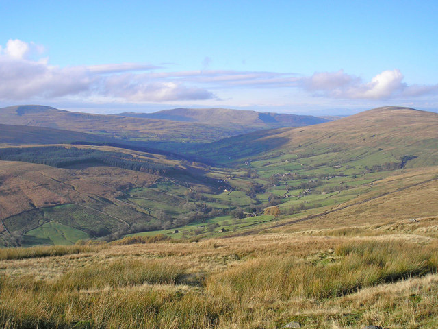
The wood is crisscrossed by a network of well-maintained footpaths and trails, enabling visitors to explore its scenic beauty at their own pace. These paths lead to hidden glades, babbling brooks, and panoramic viewpoints, offering breathtaking vistas of the surrounding countryside.
Backstone Gill Wood is a peaceful retreat, inviting visitors to immerse themselves in nature's tranquility. Whether it's a leisurely stroll, a picnic among the trees, or simply enjoying the sights and sounds of the woodland, this enchanting forest provides a welcome escape from the hustle and bustle of daily life.
If you have any feedback on the listing, please let us know in the comments section below.
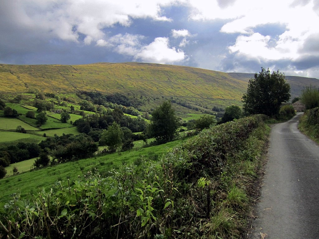
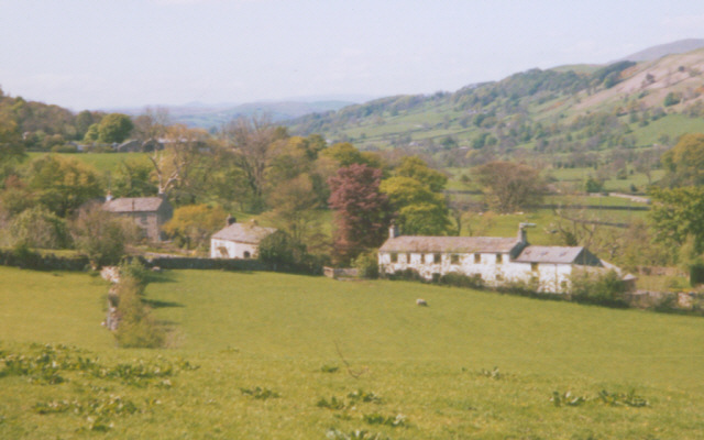
Backstone Gill Wood Images
Images are sourced within 2km of 54.281584/-2.4331836 or Grid Reference SD7187. Thanks to Geograph Open Source API. All images are credited.


Backstone Gill Wood is located at Grid Ref: SD7187 (Lat: 54.281584, Lng: -2.4331836)
Division: West Riding
Administrative County: Cumbria
District: South Lakeland
Police Authority: Cumbria
What 3 Words
///straw.shook.insulated. Near Sedbergh, Cumbria
Nearby Locations
Related Wikis
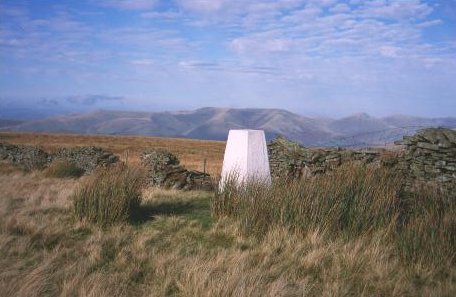
Aye Gill Pike
Aye Gill Pike is a Marilyn in the Yorkshire Dales, the highest point of the ridge of Rise Hill between Dentdale and Garsdale in Cumbria, England.
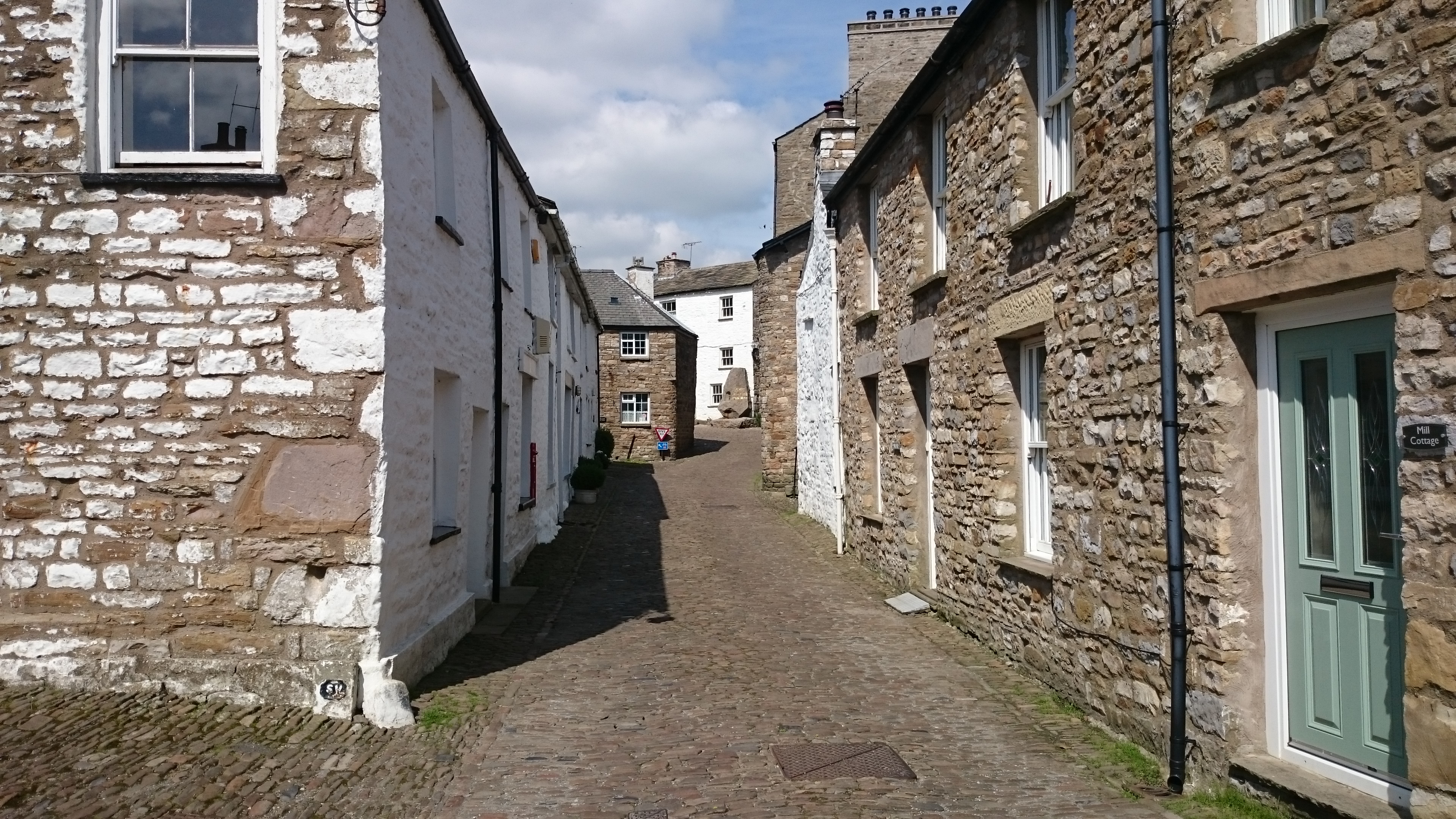
Dent, Cumbria
Dent is a village and civil parish in Cumbria, England, within the historic boundaries of the West Riding of Yorkshire. It lies in Dentdale, a narrow valley...
Dentdale
Dentdale is a dale or valley in the north-west of the Yorkshire Dales National Park in Cumbria, England. It is the valley of the River Dee, but takes...

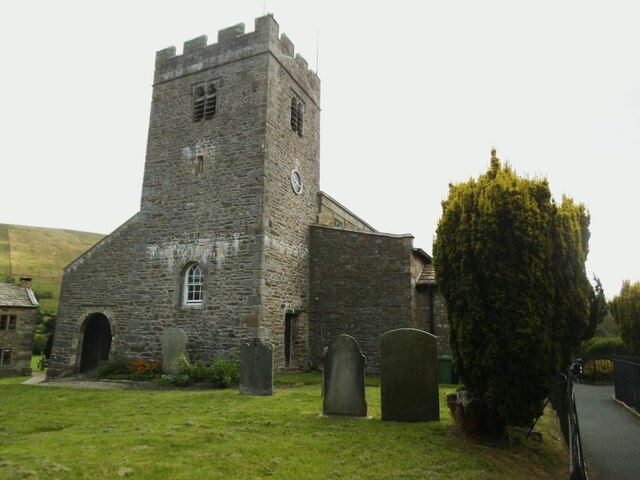
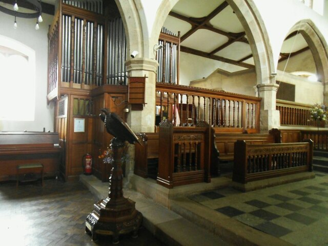
St Andrew's Church, Dent
St Andrew's Church is in the village of Dent, Cumbria, England. It is an active Anglican parish church in the Western Dales Mission Community in the deanery...
Deepdale, Cumbria
Deepdale is a side valley of Dentdale in the Yorkshire Dales National Park in Cumbria, England. It lies north west of the summit of Whernside. The dale...
Gawthrop
Gawthrop is a hamlet in the South Lakeland district, in the county of Cumbria, England. Historically part of the West Riding of Yorkshire, it lies within...

Garsdale
Garsdale is a dale or valley in the south east of Cumbria, England, historically a part of the West Riding of Yorkshire. It is now within the Westmorland...

St John the Evangelist's Church, Cowgill
St John the Evangelist's Church is the Church of England parish church of the village of Cowgill, Cumbria, England. It is in the deanery of Kendal, the...
Nearby Amenities
Located within 500m of 54.281584,-2.4331836Have you been to Backstone Gill Wood?
Leave your review of Backstone Gill Wood below (or comments, questions and feedback).