Collyholme Wood

Wood, Forest in Yorkshire Ribble Valley

England

Collyholme Wood

View of Forest of Bowland from near Stocks Reservoir The view shows the River Hodder just after it flows into the Stocks reservoir. It flows south to join the River Ribble. The hills in the distance are part of the Forest of Bowland
View of Forest of Bowland from near Stocks Reservoir Credit: Rod Grealish

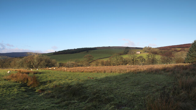
Collyholme Wood is a picturesque woodland located in the heart of Yorkshire, England. Stretching over an area of approximately 50 hectares, it is a natural haven of tranquility and beauty. The wood is situated near the village of Collyholme, which lends its name to the enchanting forest.

The woodland is predominantly composed of a diverse range of deciduous trees, including oak, beech, ash, and birch. These trees create a lush canopy that provides shade and shelter for a plethora of wildlife species that call Collyholme Wood their home. Throughout the year, the forest floor is carpeted with an assortment of wildflowers, adding vibrant splashes of color to the landscape.

Collyholme Wood is intersected by a meandering stream that trickles through the trees, creating a peaceful ambiance. This stream not only serves as a water source for the woodland inhabitants but also attracts a variety of bird species, making it a popular spot for birdwatching enthusiasts. The wood is also home to a number of woodland mammals, including deer, squirrels, and badgers.

The woodland is a haven for nature enthusiasts who can explore its network of walking trails, immersing themselves in the tranquil atmosphere and admiring the natural beauty that surrounds them. Collyholme Wood offers a welcome respite from the hustle and bustle of everyday life, inviting visitors to connect with nature and experience the serenity of the forest.

Overall, Collyholme Wood is a cherished natural gem in Yorkshire, offering a sanctuary for both wildlife and humans alike. Its lush vegetation, diverse wildlife, and serene ambiance make it a must-visit destination for anyone seeking a peaceful escape in the heart of nature.

If you have any feedback on the listing, please let us know in the comments section below.

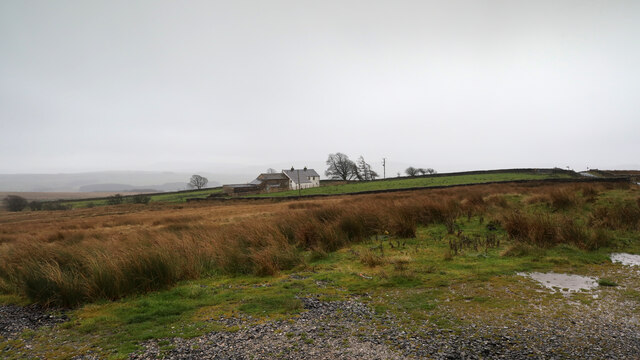
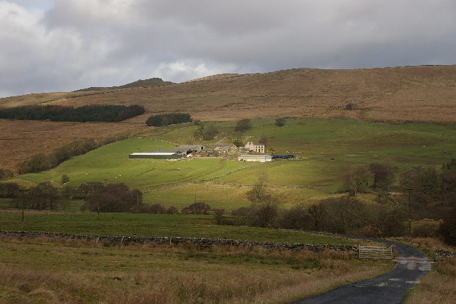
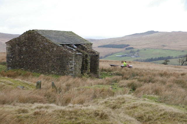
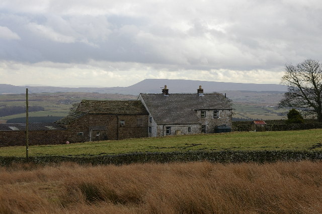
Collyholme Wood Images

Images are sourced within 2km of 54.012741/-2.4304914 or Grid Reference SD7157. Thanks to Geograph Open Source API. All images are credited.

View of Forest of Bowland from near Stocks Reservoir The view shows the River Hodder just after it flows into the Stocks reservoir. It flows south to join the River Ribble. The hills in the distance are part of the Forest of Bowland
View of Forest of Bowland from near Stocks Reservoir
The view shows the River Hodder just after it flows into the Stocks reservoir. It flows south to join the River Ribble. The hills in the distance are part of the Forest of Bowland
River Hodder entering Stocks Reservoir The photo shows the point at which the River Hodder enters the Stocks Reservoir. The reservoir is at a particularly low level. It was opened in 1932 and supplies Blackpool and the Fylde coast. There are a number of waymarked forest walks and cycle routes. Trout fishing is available.
River Hodder entering Stocks Reservoir
The photo shows the point at which the River Hodder enters the Stocks Reservoir. The reservoir is at a particularly low level. It was opened in 1932 and supplies Blackpool and the Fylde coast. There are a number of waymarked forest walks and cycle routes. Trout fishing is available.
Higher Clough On the west side of the Keasden road, land rises to Green Pike above Higher Clough (the farmhouse in the sun). The moor on the far horizon is CROW Access Land, but most of what is visible in this view has no public access.
Higher Clough
On the west side of the Keasden road, land rises to Green Pike above Higher Clough (the farmhouse in the sun). The moor on the far horizon is CROW Access Land, but most of what is visible in this view has no public access.
Tiny stream in Gisburn Forest A public footpath leaves School Lane to head northwest into the forest, but is scarcely visible on the ground. Crossing this stream, it climbs the muddy bank above to meet a recently made decent path, where the public right of way follows it for a short while towards Stocks reservoir before resuming its course into the forest and becoming totally vague once more. The new path also continues northeast, not a right of way but clearly much more frequented than the public footpath itself. Downhill, the new path passes into the open near the shore of the reservoir, and quite close to the car park at the corner of School Lane.
Tiny stream in Gisburn Forest
A public footpath leaves School Lane to head northwest into the forest, but is scarcely visible on the ground. Crossing this stream, it climbs the muddy bank above to meet a recently made decent path, where the public right of way follows it for a short while towards Stocks reservoir before resuming its course into the forest and becoming totally vague once more. The new path also continues northeast, not a right of way but clearly much more frequented than the public footpath itself. Downhill, the new path passes into the open near the shore of the reservoir, and quite close to the car park at the corner of School Lane.
Bird hide above the shore of Stocks Reservoir Tucked away on the edge of the forest, overlooking the shore of Stocks Reservoir, United Utilities have provided this and at least one other wildlife hide. It really is quite well concealed, whilst offering a clear view over many geese at the upstream end of the water (at least today). A barbed wire fence effectively deters one from getting any closer to the water, or, indeed, getting a clearer picture of the hide itself.
Bird hide above the shore of Stocks Reservoir
Tucked away on the edge of the forest, overlooking the shore of Stocks Reservoir, United Utilities have provided this and at least one other wildlife hide. It really is quite well concealed, whilst offering a clear view over many geese at the upstream end of the water (at least today). A barbed wire fence effectively deters one from getting any closer to the water, or, indeed, getting a clearer picture of the hide itself.
Merrybent Hill
Merrybent Hill
Copped Hill Clough below Brunton Laithe The stream of Copped Hill Clough has cut quite a deep, tree-lined valley as it descends from Brunton Laithe towards its confluence with the River Hodder to flow into Stocks Reservoir. On the far side is a public footpath that manages to avoid contact with the minor road until 200m to the southwest (uphill) from this point.
Copped Hill Clough below Brunton Laithe
The stream of Copped Hill Clough has cut quite a deep, tree-lined valley as it descends from Brunton Laithe towards its confluence with the River Hodder to flow into Stocks Reservoir. On the far side is a public footpath that manages to avoid contact with the minor road until 200m to the southwest (uphill) from this point.
No School - School Lane No sign of a school in sight!  This just seems to be a pleasant forest drive!
No School - School Lane
No sign of a school in sight! This just seems to be a pleasant forest drive!
Micro Forest Moss atop a stone wall reminded me of a miniature forest!
Micro Forest
Moss atop a stone wall reminded me of a miniature forest!
Down School Lane Looking down School Lane towards the Stocks Reservoir.
Down School Lane
Looking down School Lane towards the Stocks Reservoir.
Path in the Forest of Bowland
Mossy Logs in the Forest of Bowland
Stocks Reservoir from near the Bird Hide
Old Kiln Looks like an old kiln there are quite a few dotted about in this area. I assumed they burnt limestone but didn't think Limestone featured hereabouts.
Old Kiln
Looks like an old kiln there are quite a few dotted about in this area. I assumed they burnt limestone but didn't think Limestone featured hereabouts.
Barn Near Brunton Laithe Looking across the Hodder Valley near Stocks Reservoir.
Barn Near Brunton Laithe
Looking across the Hodder Valley near Stocks Reservoir.
Catlow Farm Forest of Bowland Taken from the farm road leading to Catlow Farm, looking in a NE direction
Catlow Farm Forest of Bowland
Taken from the farm road leading to Catlow Farm, looking in a NE direction
Brunton Laithe Taken from the SE side of the Laithe looking N. Catlow Farm can be seen in the distance
Brunton Laithe
Taken from the SE side of the Laithe looking N. Catlow Farm can be seen in the distance
Merrybent Farm.  Forest of Bowland Taken from the road looking SE, Pendle Hill can be seen in the distance.
Merrybent Farm. Forest of Bowland
Taken from the road looking SE, Pendle Hill can be seen in the distance.
Show me another place!

Collyholme Wood is located at Grid Ref: SD7157 (Lat: 54.012741, Lng: -2.4304914)

Division: West Riding

Administrative County: Lancashire

District: Ribble Valley

Police Authority: Lancashire

What 3 Words

///vertical.applauded.decanter. Near Settle, North Yorkshire

Related Wikis

Stocks Reservoir

Stocks Reservoir is a reservoir situated at the head of the Hodder valley in the Forest of Bowland, Lancashire, England (historically in the West Riding...

Easington, Lancashire

Easington () is a civil parish within the Ribble Valley district of Lancashire, England, with a population in 2001 of 52. The Census 2011 population details...

White Hill (Forest of Bowland)

White Hill is a hill in the Forest of Bowland, north-western England. It lies between Slaidburn and High Bentham. The summit houses a tower and a trig...

Geography of the United Kingdom

The United Kingdom is a sovereign state located off the north-western coast of continental Europe. With a total area of approximately 248,532 square kilometres...

Lancashire Witches Walk

The Lancashire Witches Walk is a 51-mile (82 km) long-distance footpath opened in 2012, between Barrowford and Lancaster, all in Lancashire, England. It...

Slaidburn

Slaidburn () is a village and civil parish within the Ribble Valley district of Lancashire, England. The parish covers just over 5,000 acres of the Forest...

King's House, Slaidburn

King's House is a Grade II listed building in Slaidburn, Lancashire, England, now used as a youth hostel. It was originally built in the 18th century,...

Tosside

Tosside is a small village on the modern border of North Yorkshire and Lancashire in Northern England. It lies within the Forest of Bowland, and is between...

Related Videos

Stocks Reservoir

Another rare day where my wife and I can get a walk in together. Today we took to the trail around Stocks Reservoir and the ...

Stocks Reservoir Gisburn Forest & Hodder Valley

Apologies for error at start of film. Actual start of walk is from Stocks Reservoir not Gisburn). Stocks Reservoir is managed by ...

Desi program with friends in UK - Vlog

A day in jungle in uk, singing program with friends and a little hike around...

Have you been to Collyholme Wood?

Leave your review of Collyholme Wood below (or comments, questions and feedback).