Quarry Plantation
Wood, Forest in Herefordshire
England
Quarry Plantation
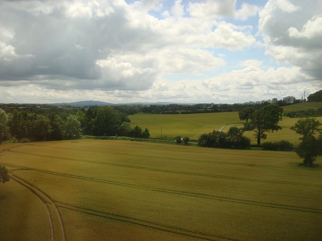
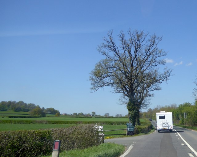
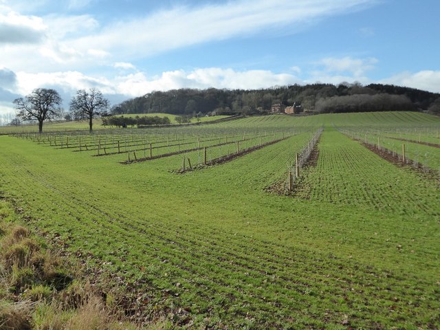
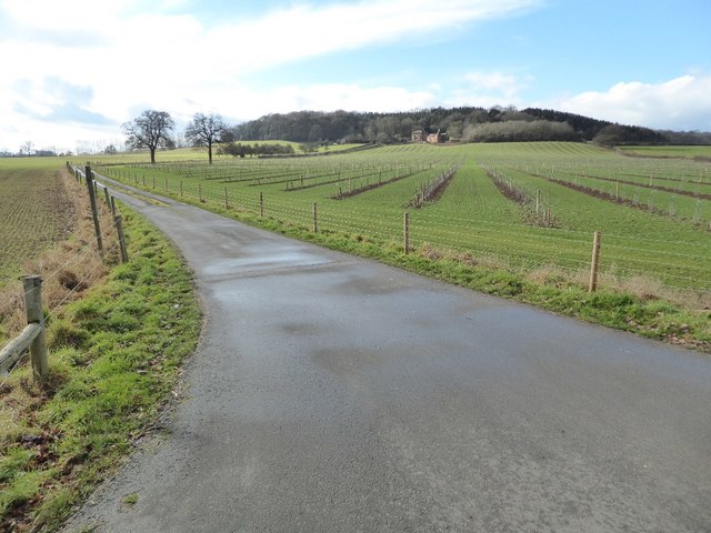
Quarry Plantation is a picturesque woodland located in Herefordshire, England. Covering an area of approximately 10 acres, it is nestled within the idyllic countryside of the county. The plantation is known for its dense forest and sprawling woodlands, making it a haven for nature enthusiasts and walkers alike.
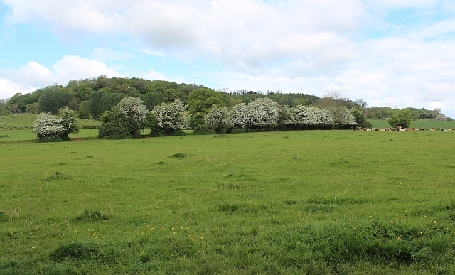
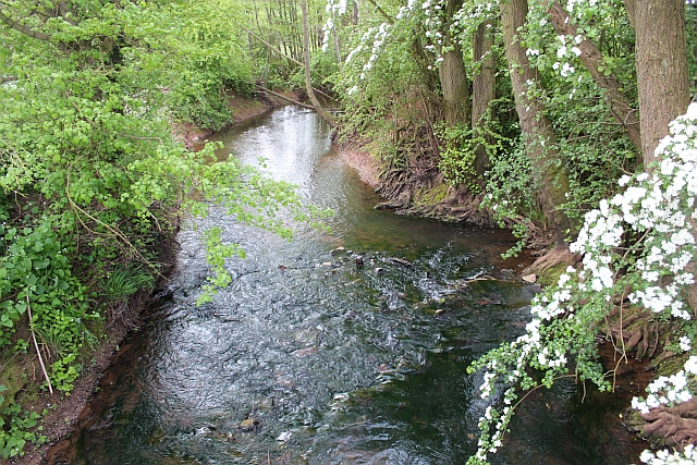
The woodland is characterized by a variety of tree species, including oak, beech, and ash, creating a diverse and vibrant ecosystem. The canopies of these tall trees provide shelter and shade for an array of wildlife, such as birds, squirrels, and deer, which can often be spotted amidst the foliage. The forest floor is adorned with a carpet of wildflowers and ferns, adding to the enchanting atmosphere of the woodland.
Visitors to Quarry Plantation can explore the well-maintained walking trails that wind their way through the plantation. These paths offer stunning views of the surrounding landscape, with glimpses of rolling hills and meandering streams. The peaceful ambiance and natural beauty of the woodland make it an ideal location for a leisurely stroll or a family picnic.
The plantation is also home to a disused quarry, which adds an interesting historical element to the site. The quarry served as a source of stone in the past and is a reminder of the area's industrial heritage. Today, it stands as a quiet and intriguing feature within the woodland, adding a touch of uniqueness to the overall charm of Quarry Plantation.
Overall, Quarry Plantation in Herefordshire is a delightful destination for those seeking a tranquil escape in nature. Its lush woodlands, diverse wildlife, and scenic trails make it a must-visit location for both locals and tourists alike.
If you have any feedback on the listing, please let us know in the comments section below.
Quarry Plantation Images
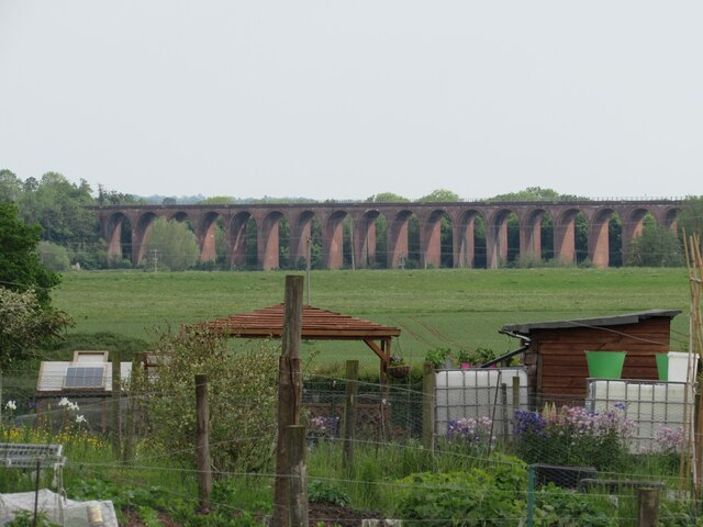
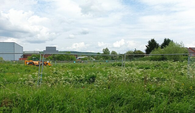
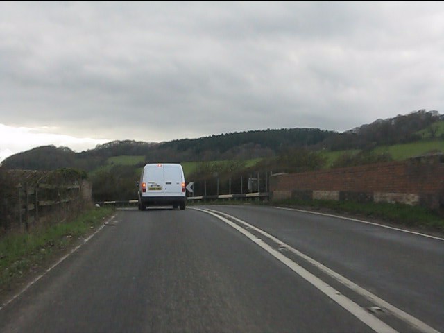
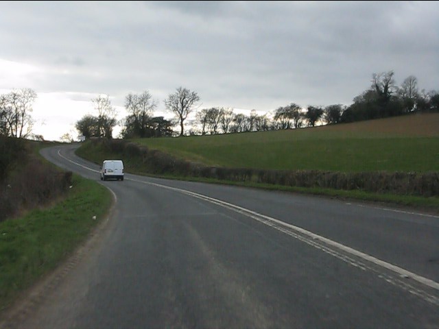
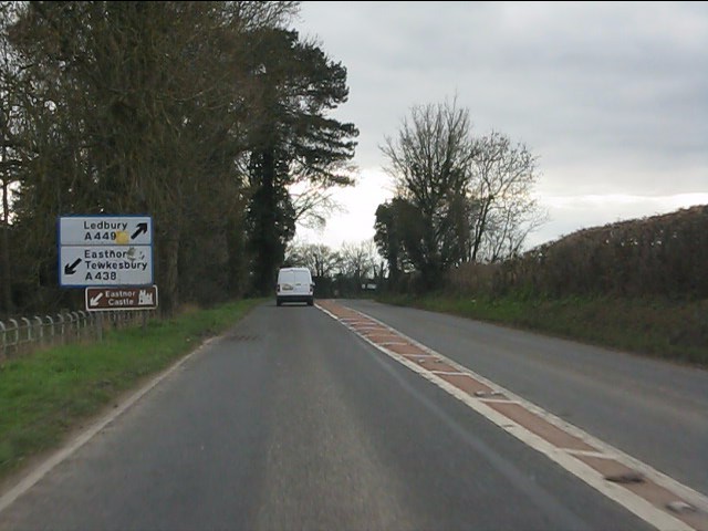
Images are sourced within 2km of 52.042437/-2.4149569 or Grid Reference SO7138. Thanks to Geograph Open Source API. All images are credited.


Quarry Plantation is located at Grid Ref: SO7138 (Lat: 52.042437, Lng: -2.4149569)
Unitary Authority: County of Herefordshire
Police Authority: West Mercia
What 3 Words
///sank.perfumed.waitress. Near Ledbury, Herefordshire
Nearby Locations
Related Wikis

Ledbury Tunnel
Ledbury Tunnel is a single-track railway tunnel immediately to the east of Ledbury railway station on the Cotswold Line, in Herefordshire, England. The...

Church of St Michael and All Angels, Ledbury
The Church of St Michael and All Angels is an Anglican church in Ledbury, in Herefordshire, England. The oldest parts date from the 12th century, and most...

Ledbury Signal Box
Ledbury Signal Box is a typical Great Western Railway traditional lever frame signal box which remains in daily use at Ledbury Station, Herefordshire,...
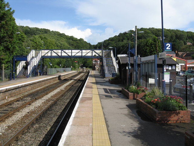
Ledbury railway station
Ledbury railway station is located on the outskirts of the town of Ledbury, on the Worcester to Hereford line in the English Midlands. It has regular services...
Nearby Amenities
Located within 500m of 52.042437,-2.4149569Have you been to Quarry Plantation?
Leave your review of Quarry Plantation below (or comments, questions and feedback).