Spring Coppice

Wood, Forest in Shropshire

England

Spring Coppice

Footpath at the edge of Thrift Coppice Thrift Coppice runs into Birch Wood as you walk east; both lie on the steep southern bank of the Dean Brook valley.
Footpath at the edge of Thrift Coppice Credit: Richard Law

Spring Coppice is a picturesque woodland located in the county of Shropshire, England. Covering an area of approximately 100 acres, it is a haven for nature lovers and outdoor enthusiasts alike. The coppice is situated on the outskirts of a small rural village, providing a tranquil and serene atmosphere.

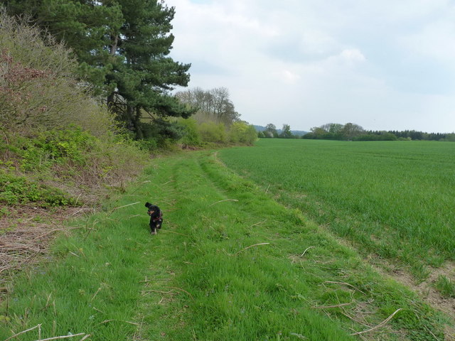
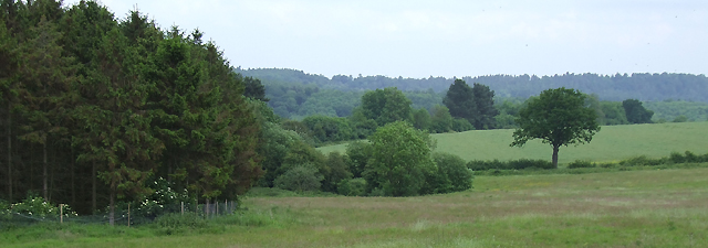
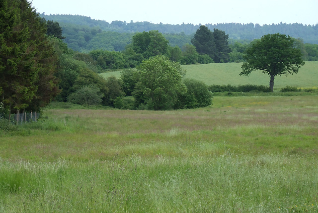
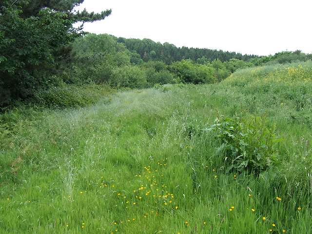
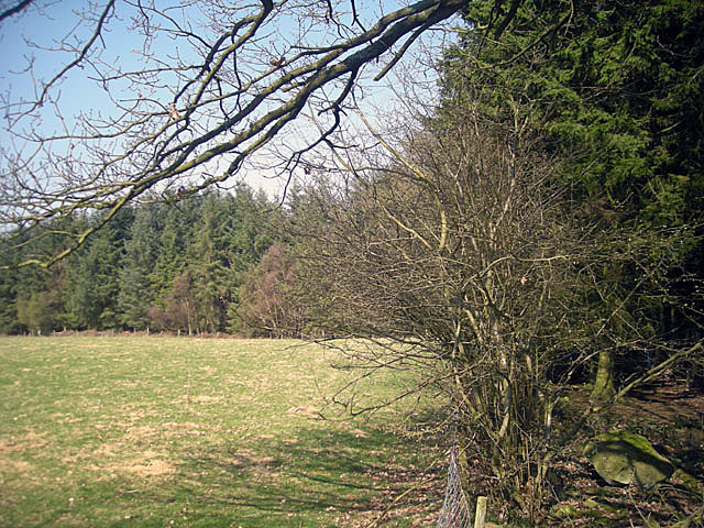
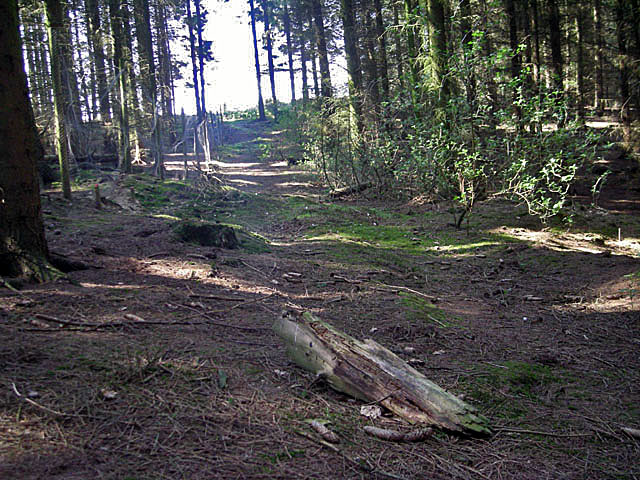
The woodland is predominantly made up of deciduous trees such as oak, beech, and birch, which create a stunning display of vibrant colors during the autumn months. In the spring, the forest floor comes alive with a carpet of bluebells, adding a touch of beauty to the surroundings. There are also several clearings within the coppice, where wildflowers bloom and wildlife thrives.

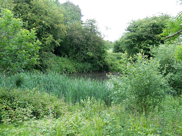
Visitors to Spring Coppice can enjoy a network of well-maintained footpaths that wind through the woods, allowing for leisurely walks or more adventurous hikes. The paths are suitable for all abilities and offer opportunities for birdwatching and wildlife spotting. The woodland is home to a variety of species, including deer, badgers, and a multitude of bird species, making it a haven for wildlife enthusiasts.

In addition to its natural beauty, Spring Coppice also offers recreational facilities such as picnic areas and a small play area for children. The woodland is managed by the local council, ensuring the preservation of its natural features while providing a safe and enjoyable experience for visitors.

Overall, Spring Coppice in Shropshire is a charming woodland that offers a peaceful retreat from the hustle and bustle of everyday life. Its diverse flora and fauna, combined with its well-maintained paths and recreational facilities, make it a popular destination for nature lovers and families seeking a day out in the great outdoors.

If you have any feedback on the listing, please let us know in the comments section below.

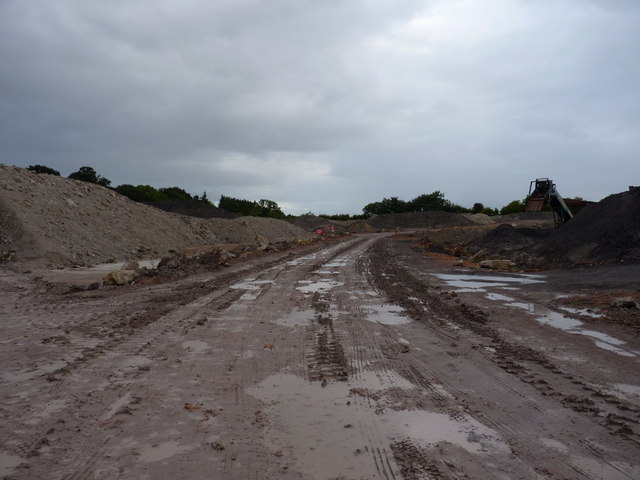
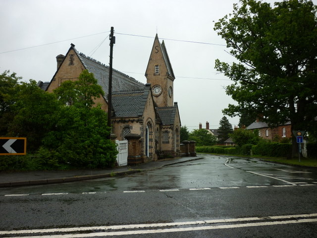
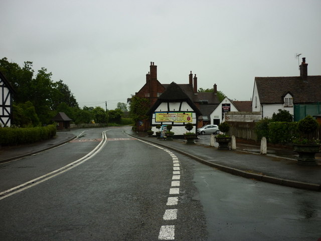
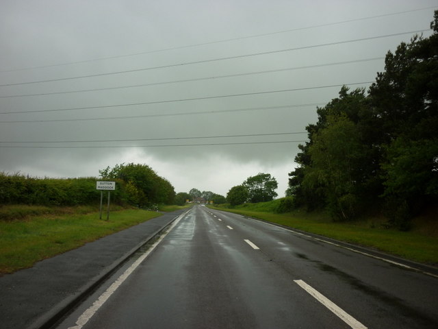
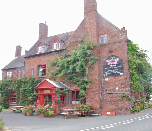
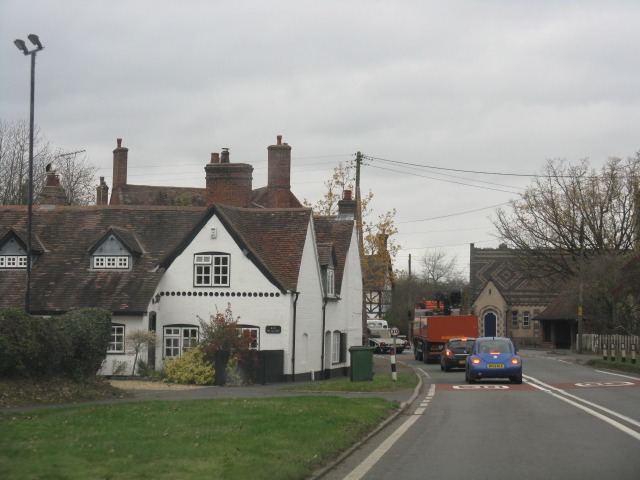
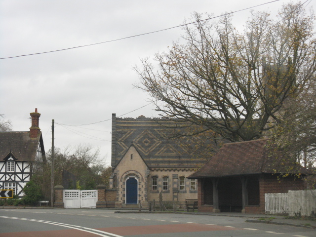
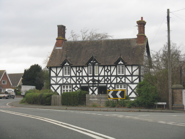
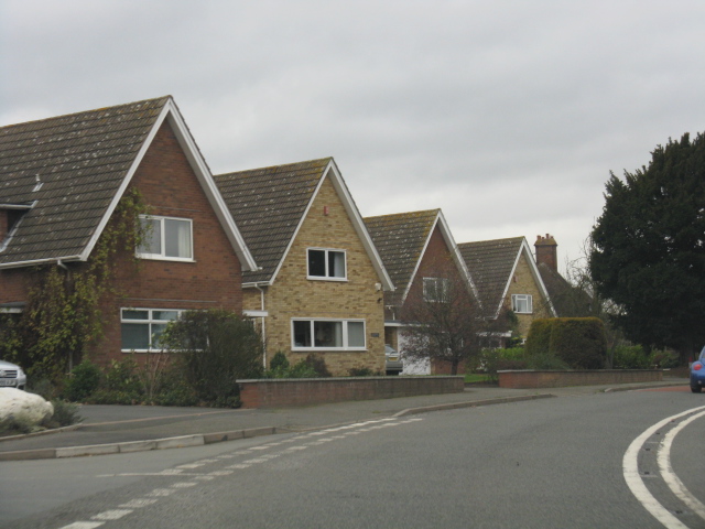
Spring Coppice Images

Images are sourced within 2km of 52.598521/-2.430116 or Grid Reference SJ7000. Thanks to Geograph Open Source API. All images are credited.

Footpath at the edge of Thrift Coppice Thrift Coppice runs into Birch Wood as you walk east; both lie on the steep southern bank of the Dean Brook valley.
Footpath at the edge of Thrift Coppice
Thrift Coppice runs into Birch Wood as you walk east; both lie on the steep southern bank of the Dean Brook valley.
Old Milestone, Berkeley Heath Carved stone post by the B4066, in parish of BERKELEY (STROUD District), Berkeley Heath, in front of Field View on verge, on South side of road. Erected by the Berkley & Dursley (Division) turnpike trust in the 19th century. Carved benchmark front lower middle 23.1 m ASL. Note: that the destination (presumably Berkeley) is defaced. For an older image see: <a title="https://www.geograph.org.uk/photo/6098469" href="https://www.geograph.org.uk/photo/6098469">Link</a>

Inscription reads:- : TO / (BERKELEY) / 1 / MILE 

Milestone Society National ID: GL_BKDY01
Old Milestone, Berkeley Heath
Carved stone post by the B4066, in parish of BERKELEY (STROUD District), Berkeley Heath, in front of Field View on verge, on South side of road. Erected by the Berkley & Dursley (Division) turnpike trust in the 19th century. Carved benchmark front lower middle 23.1 m ASL. Note: that the destination (presumably Berkeley) is defaced. For an older image see: Link Inscription reads:- : TO / (BERKELEY) / 1 / MILE Milestone Society National ID: GL_BKDY01
Forest and Farmland, near Linleygreen, Shropshire The public footpath along the edge of the coppice is rarely used and undefined on the ground. The white blossoms at the woodland edge are elder.
Forest and Farmland, near Linleygreen, Shropshire
The public footpath along the edge of the coppice is rarely used and undefined on the ground. The white blossoms at the woodland edge are elder.
Farmland near Linleygreen, Shropshire The public footpath is undefined on the ground, and follows the edge of the coppice. The small wooded promontory (centre) surrounds a pool.
Farmland near Linleygreen, Shropshire
The public footpath is undefined on the ground, and follows the edge of the coppice. The small wooded promontory (centre) surrounds a pool.
Pool in the Trees, near Linleygreen, Shropshire The foliage is especially lush around this pool. The public right of way skirts the trees to the right
Pool in the Trees, near Linleygreen, Shropshire
The foliage is especially lush around this pool. The public right of way skirts the trees to the right
The Edge of the Coppice, near Linleygreen, Shropshire The public right of way (hardly ever used, it seems) cuts across the field fifty metres to the right.
The Edge of the Coppice, near Linleygreen, Shropshire
The public right of way (hardly ever used, it seems) cuts across the field fifty metres to the right.
At the edge of Bradley's Coppice
It's dark & gloomy in Bradley's Coppice
Opencast clay workings at Broseley A dull evening in the clay pit just north of Bradley's Coppice
Opencast clay workings at Broseley
A dull evening in the clay pit just north of Bradley's Coppice
Dumper track and quarry machinery Part of the workings in the opencast clay pit - the machine appears to be a grader or screen to separate stone into different sizes.
Dumper track and quarry machinery
Part of the workings in the opencast clay pit - the machine appears to be a grader or screen to separate stone into different sizes.
The old school at Norton
Hundred House Hotel, Norton
Entering Sutton Maddock
The Hundred House Hotel, Norton
Entering Norton from the south
Norton Church The roof tiles' pattern is exquisite.
Norton Church
The roof tiles' pattern is exquisite.
Cottage by the A442 S-bend, Norton
Modern detached houses, Norton Well apart with room for a double garage at each house.
Modern detached houses, Norton
Well apart with room for a double garage at each house.
Show me another place!

Spring Coppice is located at Grid Ref: SJ7000 (Lat: 52.598521, Lng: -2.430116)

Unitary Authority: Shropshire

Police Authority: West Mercia

What 3 Words

///club.gliding.bulge. Near Broseley, Shropshire

Related Wikis

Caughley

Caughley () was a non-nucleated settlement situated two kilometres east of Barrow near Much Wenlock in Shopshire, England, with the River Severn running...

Severn Way

The Severn Way is a waymarked long-distance footpath in the United Kingdom, which follows the course of the River Severn through Mid Wales and western...

Sutton Maddock

Sutton Maddock is a village and civil parish 16 miles (26 km) south east of Shrewsbury, in the Shropshire district, in the county of Shropshire, England...

Apley Forge

Apley Forge is a village in Shropshire, England, north of the town of Bridgnorth. == External links == Media related to Apley Forge at Wikimedia Commons

Linley Halt railway station

Linley, later Linley Halt, was a small railway station on the Severn Valley line in Shropshire, England. The station was built as a condition of constructing...

Apley Hall

Apley Hall is an English Gothic Revival house located in the parish of Stockton near Bridgnorth, Shropshire. The building was completed in 1811 with adjoining...

Coalport West railway station

The GWR Coalport railway station, active 1862–1963, was originally built as a single through platform railway station on the Severn Valley Line serving...
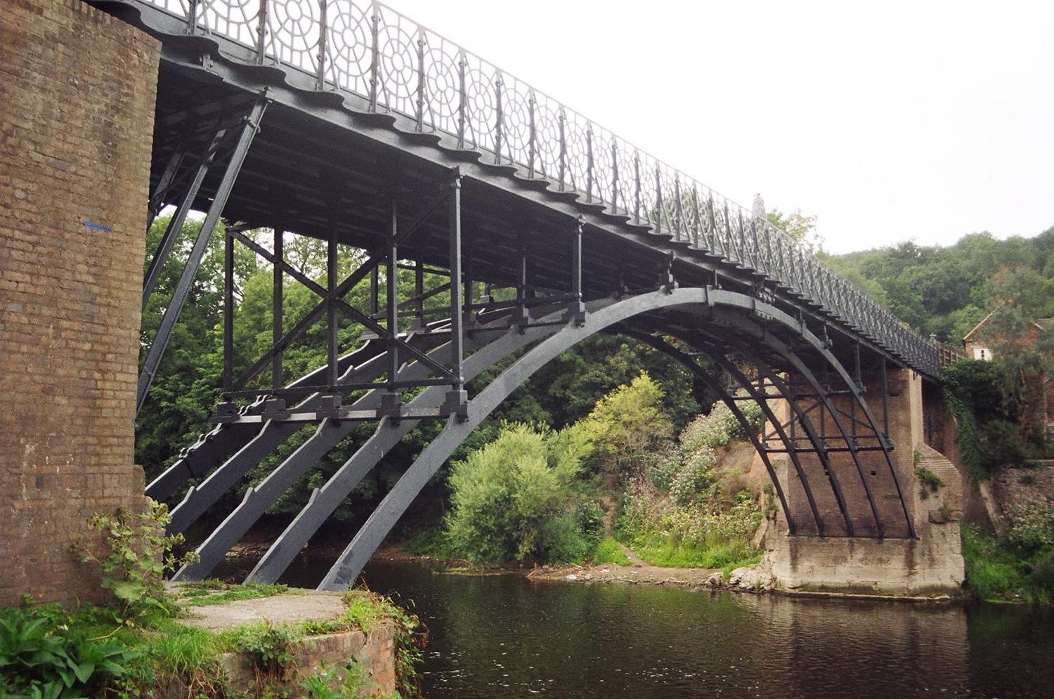
Coalport Bridge

Coalport Bridge is a cast iron arch bridge between Coalport and Preens Eddy in Shropshire, England. == Early bridge == Architect and bridge-builder William...

Nearby Amenities

Located within 500m of 52.598521,-2.430116
Power: pole
Lat/Long: 52.5995809/-2.4259239
Power: pole
Lat/Long: 52.5996412/-2.4272999
Power: pole
Lat/Long: 52.6008076/-2.4316451
Power: pole
Lat/Long: 52.6021581/-2.4336541
The data included in this document is from www.openstreetmap.org. The data is made available under ODbL.

Have you been to Spring Coppice?

Leave your review of Spring Coppice below (or comments, questions and feedback).