Weatherhead Plantation
Wood, Forest in Yorkshire Ribble Valley
England
Weatherhead Plantation
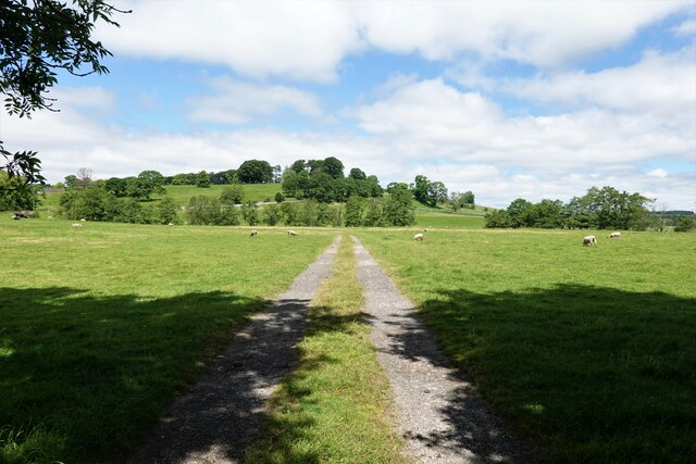
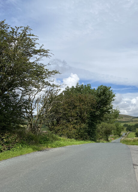
Weatherhead Plantation is a picturesque woodland located in the county of Yorkshire, England. Covering an area of approximately 500 acres, it is a stunning example of a well-preserved forest in the region. The plantation is situated near the village of Weatherhead, providing a serene and tranquil escape from the bustling city life.
The woodland is predominantly composed of native broadleaf trees, such as oak, beech, and birch, which create a dense canopy overhead. This canopy provides a haven for a diverse range of flora and fauna, making it a popular spot for nature enthusiasts and wildlife photographers. The forest floor is adorned with a carpet of ferns, bluebells, and wildflowers during the spring and summer months.
Visitors to Weatherhead Plantation can enjoy a variety of recreational activities, including walking, hiking, and birdwatching. The well-maintained trails meander through the woods, allowing visitors to explore the beauty of the woodland at their own pace. The plantation is also home to a number of bird species, such as woodpeckers, owls, and thrushes, making it a paradise for bird lovers.
Weatherhead Plantation has a rich history, dating back several centuries. It was once part of a larger estate and played a crucial role in providing timber for the local community. Today, it stands as a testament to the conservation efforts in the region and is managed by a dedicated team of forestry experts.
Overall, Weatherhead Plantation is a hidden gem in Yorkshire, offering a peaceful retreat for those seeking solace in nature's embrace. Whether it be a leisurely stroll through the woods or an exploration of the diverse wildlife, this woodland is sure to leave its visitors with a lasting impression.
If you have any feedback on the listing, please let us know in the comments section below.
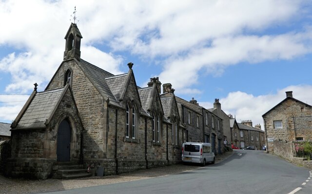
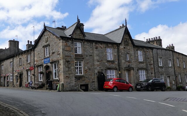
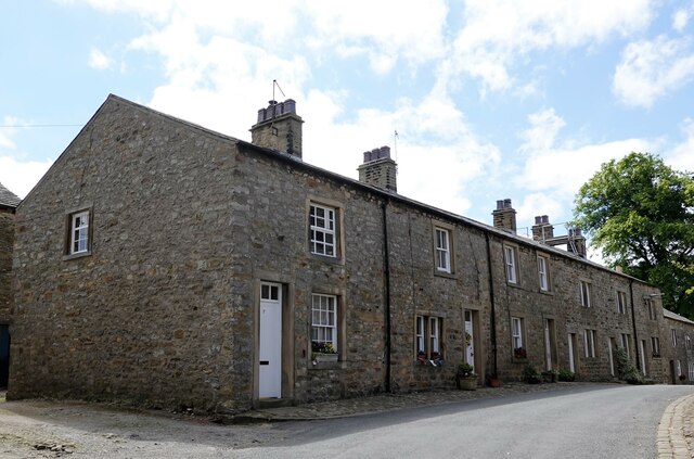
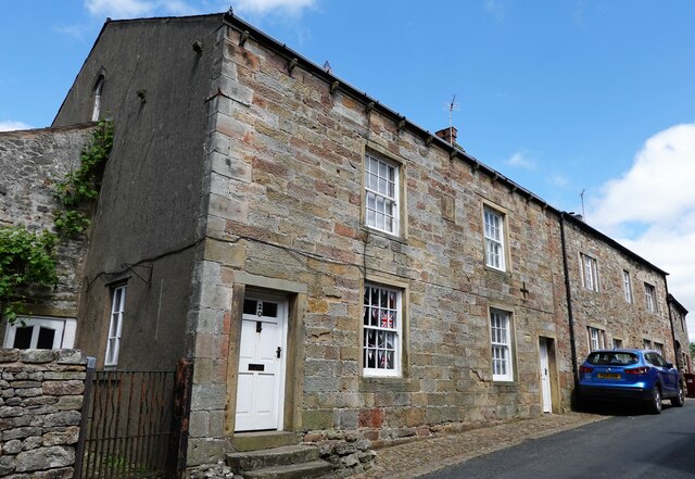
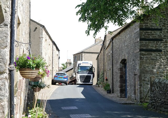
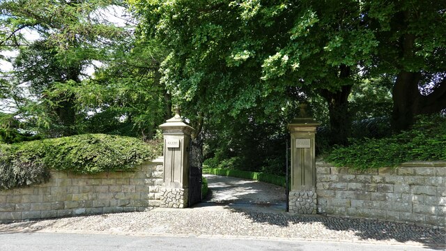
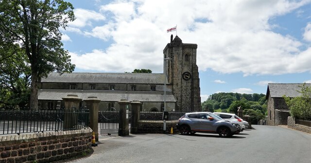
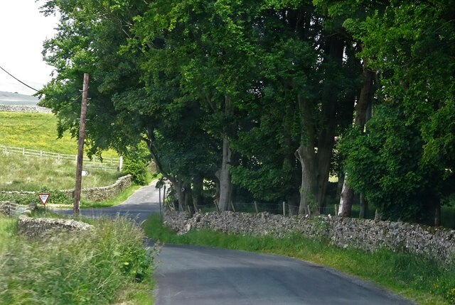
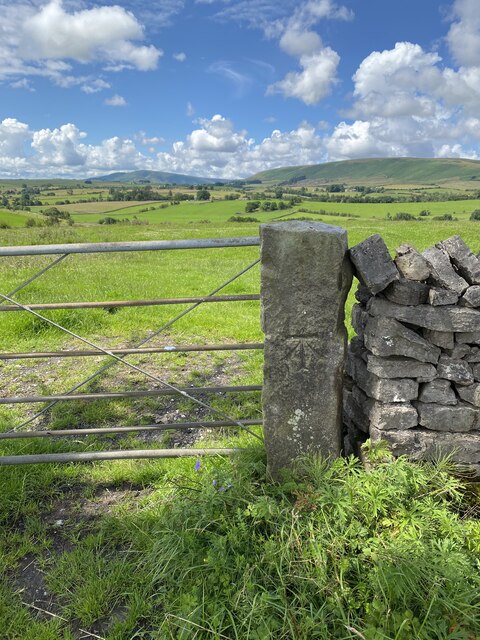
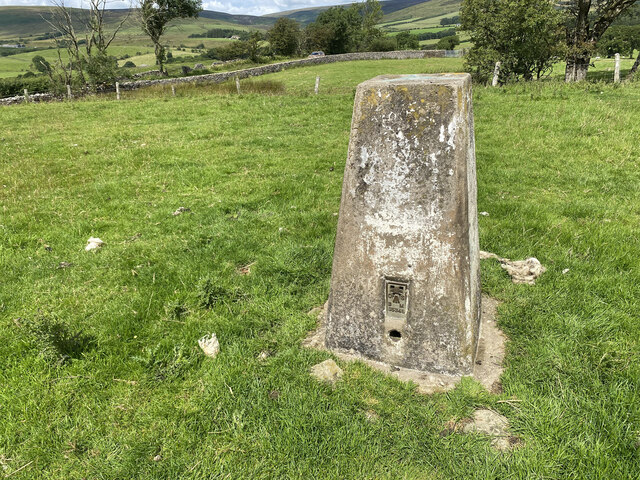
Weatherhead Plantation Images
Images are sourced within 2km of 53.975644/-2.4441811 or Grid Reference SD7053. Thanks to Geograph Open Source API. All images are credited.
Weatherhead Plantation is located at Grid Ref: SD7053 (Lat: 53.975644, Lng: -2.4441811)
Division: West Riding
Administrative County: Lancashire
District: Ribble Valley
Police Authority: Lancashire
What 3 Words
///melt.rattler.difficult. Near Waddington, Lancashire
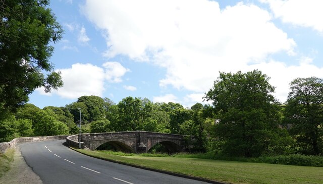
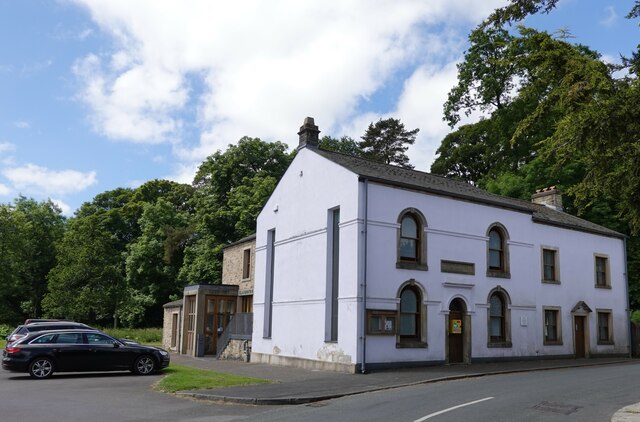
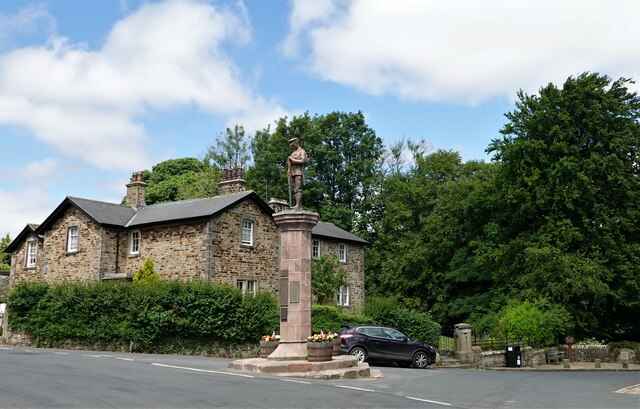
Nearby Locations
Related Wikis

Lancashire Witches Walk
The Lancashire Witches Walk is a 51-mile (82 km) long-distance footpath opened in 2012, between Barrowford and Lancaster, all in Lancashire, England. It...

King's House, Slaidburn
King's House is a Grade II listed building in Slaidburn, Lancashire, England, now used as a youth hostel. It was originally built in the 18th century,...

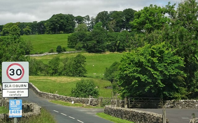
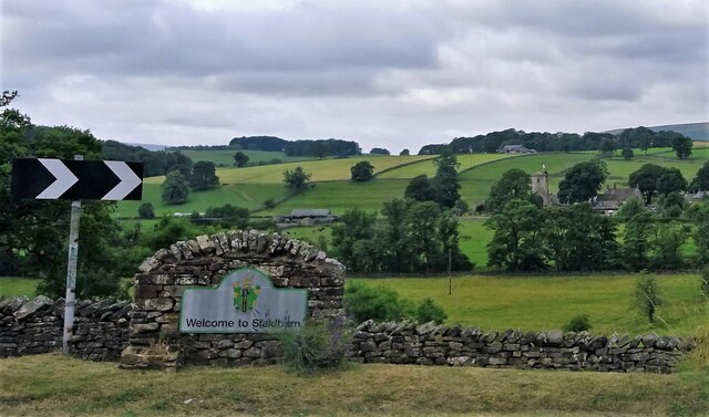
Slaidburn
Slaidburn () is a village and civil parish within the Ribble Valley district of Lancashire, England. The parish covers just over 5,000 acres of the Forest...

St Andrew's Church, Slaidburn
St Andrew's Church is in Church Street, Slaidburn, Lancashire, England. It is an active Anglican parish church in the deanery of Bowland, the archdeaconry...

Stocks Reservoir
Stocks Reservoir is a reservoir situated at the head of the Hodder valley in the Forest of Bowland, Lancashire, England (historically in the West Riding...

Newton-in-Bowland
Newton or Newton-in-Bowland is a village and civil parish in the Ribble Valley district, in the county of Lancashire, England, formerly known as Newton...

Easington, Lancashire
Easington () is a civil parish within the Ribble Valley district of Lancashire, England, with a population in 2001 of 52. The Census 2011 population details...

Geography of the United Kingdom
The United Kingdom is a sovereign state located off the north-western coast of continental Europe. With a total area of approximately 248,532 square kilometres...
Nearby Amenities
Located within 500m of 53.975644,-2.4441811Have you been to Weatherhead Plantation?
Leave your review of Weatherhead Plantation below (or comments, questions and feedback).