Bashall Wood
Wood, Forest in Yorkshire Ribble Valley
England
Bashall Wood
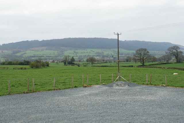
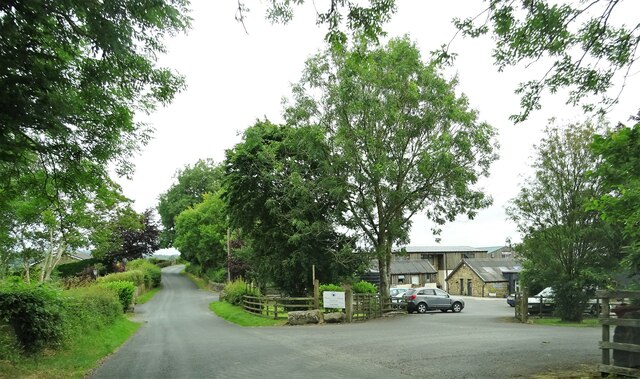
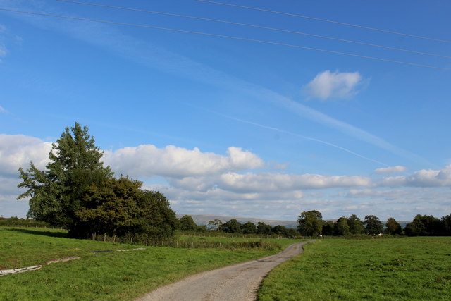
Bashall Wood is a picturesque woodland located in the county of Yorkshire, England. Covering an area of approximately 150 acres, it is a captivating mix of ancient woodland and managed forest. The wood is situated near the village of Bashall Eaves, which is renowned for its natural beauty and tranquil surroundings.
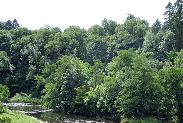
The woodland is predominantly composed of broadleaf trees, including oak, beech, and birch, creating a rich and diverse ecosystem. The ancient woodland section boasts trees that are several hundred years old, lending an air of timelessness to the area. The forest management practices in the other parts of the wood ensure the sustainability of the ecosystem and provide habitat for a wide range of wildlife.
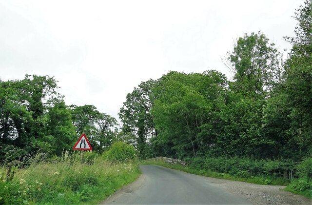
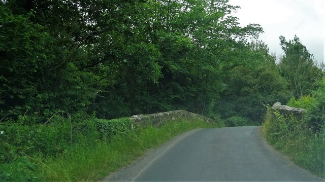
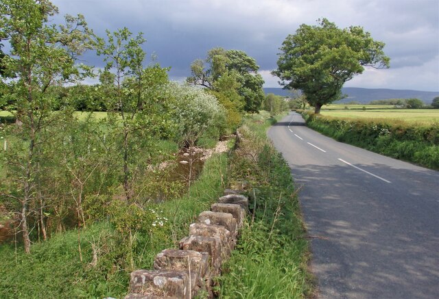
Visitors to Bashall Wood can explore numerous walking trails that meander through the enchanting woodland. These paths offer opportunities to immerse oneself in the peaceful atmosphere and admire the natural beauty of the surroundings. The wood is particularly popular with birdwatchers, as it is home to a variety of bird species, including woodpeckers and owls.
In addition to its natural wonders, Bashall Wood also has a rich cultural heritage. The wood has been a site of human activity for centuries, with evidence of ancient settlements and historical landmarks. The area is dotted with remnants of old stone walls and ruins, providing an intriguing glimpse into the past.
Overall, Bashall Wood is a captivating destination for nature enthusiasts, offering a blend of ancient woodland, managed forest, and historical landmarks. Its beauty and tranquility make it a cherished natural gem in the heart of Yorkshire.
If you have any feedback on the listing, please let us know in the comments section below.
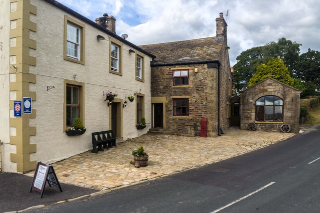
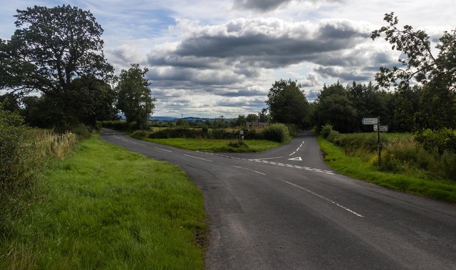
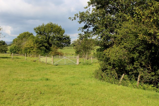
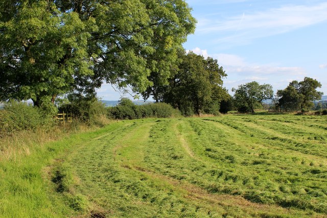
Bashall Wood Images
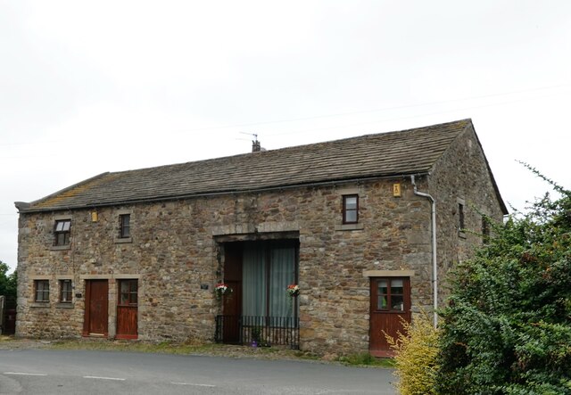
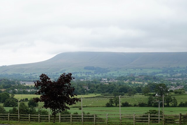
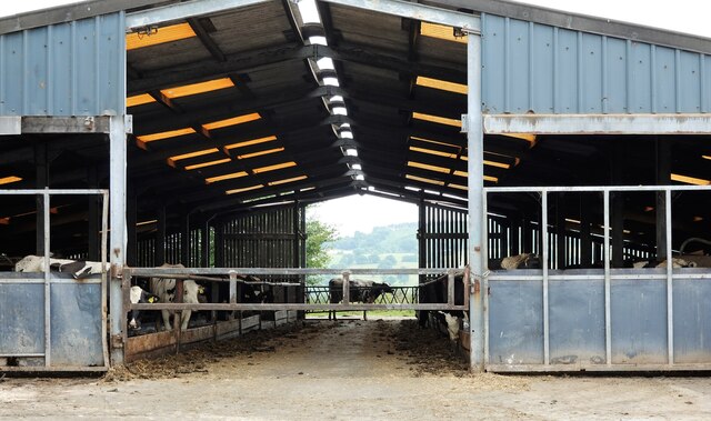
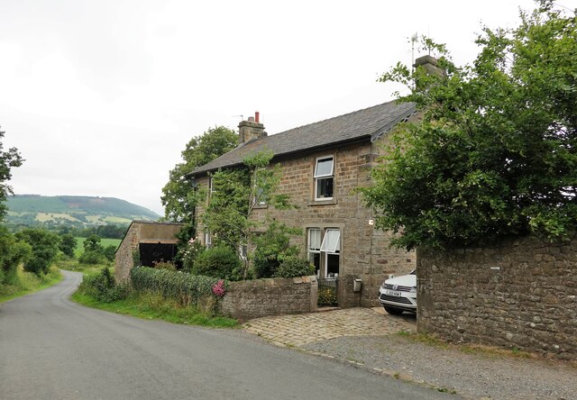
Images are sourced within 2km of 53.878952/-2.4443112 or Grid Reference SD7042. Thanks to Geograph Open Source API. All images are credited.

Bashall Wood is located at Grid Ref: SD7042 (Lat: 53.878952, Lng: -2.4443112)
Division: West Riding
Administrative County: Lancashire
District: Ribble Valley
Police Authority: Lancashire
What 3 Words
///liability.wriggled.army. Near Waddington, Lancashire
Nearby Locations
Related Wikis

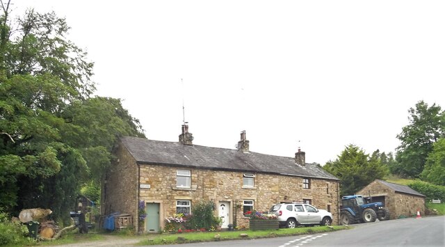
Bashall Eaves
Bashall Eaves is a village and civil parish in the Ribble Valley district of Lancashire, England, about four miles (6 km) west of Clitheroe. The placename...

Waddington, Lancashire
Waddington is a small village, 2 miles (3 km) north-west of Clitheroe in the Ribble Valley, Lancashire, England. The population of the civil parish at...

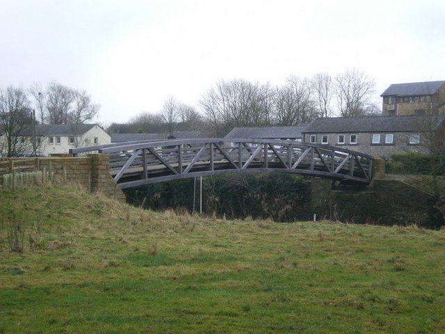
Edisford Bridge
Edisford Bridge (or Eadsford) is a toll-free, nine-span bridge over the River Ribble near Clitheroe, Lancashire, England. A Grade II listed structure and...

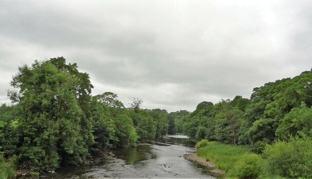
Bashall Brook
Bashall Brook is a minor river in Lancashire, England. It is 7.09 miles (11.41 km) long and has a catchment area of 6.86 square miles (1,777.68 ha).The...

Limy Water
The Limy Water is a minor river in Lancashire, England. It is 4.95 miles (7.96 km) long and has a catchment area of 7.71 square miles (1,996.33 ha).The...

St Helen's Church, Waddington
St Helen's Church is in the village of Waddington, Lancashire, England. It is an active Anglican parish church in the deanery of Whalley, the archdeaconry...
Low Moor, Lancashire
Low Moor is a hamlet which is part of the town of Clitheroe, located in Lancashire, England. It is situated two miles southwest of Clitheroe proper. It...

Waddow Hall
Waddow Hall is a 17th-century Grade II listed building within a 178-acre (72 ha) estate that serves as a conference and activity centre for Girlguiding...
Nearby Amenities
Located within 500m of 53.878952,-2.4443112Have you been to Bashall Wood?
Leave your review of Bashall Wood below (or comments, questions and feedback).