Hunt's Wood

Wood, Forest in Gloucestershire

England

Hunt's Wood

Field edge
Field edge Credit: don cload

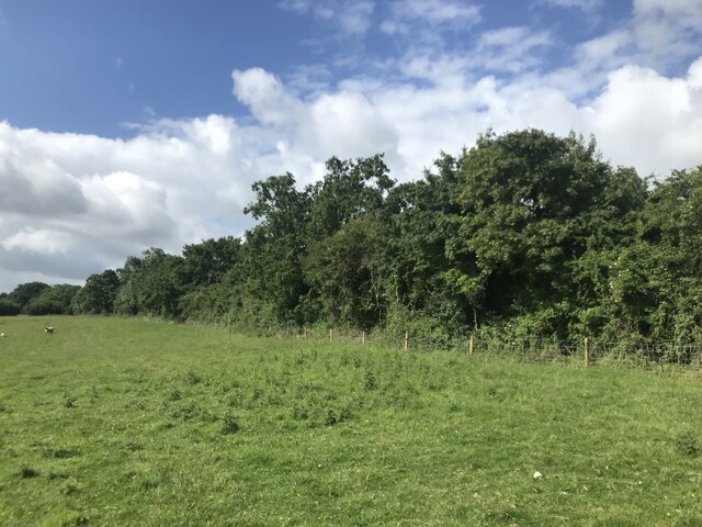
Hunt's Wood is a picturesque woodland located in Gloucestershire, England. Situated near the village of Hunt's Grove, it covers an area of approximately 100 acres and is a popular destination for nature enthusiasts and hikers alike.

The wood is predominantly composed of native broadleaf trees, including oak, beech, and ash, which create a dense canopy and provide a rich habitat for a variety of wildlife. The forest floor is adorned with a diverse array of wildflowers and ferns, adding to the woodland's natural beauty.

Tranquil and serene, Hunt's Wood offers a peaceful escape from the hustle and bustle of everyday life. Its well-maintained footpaths wind through the trees, allowing visitors to explore the wood at their own pace. The trails provide opportunities for birdwatching, with species such as woodpeckers, nuthatches, and tawny owls commonly spotted.

In addition to its natural beauty, Hunt's Wood also holds historical significance. The woodland is believed to have been part of a medieval hunting ground, hence its name. Remnants of ancient earthworks and ditches can still be seen, adding an element of mystery and intrigue to the area.

Overall, Hunt's Wood is a hidden gem in Gloucestershire, offering a tranquil haven for those seeking to connect with nature. Its lush vegetation, diverse wildlife, and historical significance make it a truly captivating destination for visitors of all ages.

If you have any feedback on the listing, please let us know in the comments section below.

Hunt's Wood Images

Images are sourced within 2km of 51.614305/-2.4221594 or Grid Reference ST7090. Thanks to Geograph Open Source API. All images are credited.

Field edge
Field edge
Charfield - please drive carefully At the western edge of Charfield in South Gloucestershire, the 40mph speed limit drops to 30mph.
Charfield - please drive carefully
At the western edge of Charfield in South Gloucestershire, the 40mph speed limit drops to 30mph.
South side of Charfield Primary School, South Gloucestershire Distinctive building set back from Wotton Road.
<a title="https://www.geograph.org.uk/photo/7554968" href="https://www.geograph.org.uk/photo/7554968">Link</a> to a closer view of the nameboard.
South side of Charfield Primary School, South Gloucestershire
Distinctive building set back from Wotton Road. Link to a closer view of the nameboard.
Charfield Primary School nameboard, South Gloucestershire In July 2023 the board located here <a title="https://www.geograph.org.uk/photo/7554963" href="https://www.geograph.org.uk/photo/7554963">Link</a> shows that the school's motto is "Working Together .. Learning for Life"
Charfield Primary School nameboard, South Gloucestershire
In July 2023 the board located here Link shows that the school's motto is "Working Together .. Learning for Life"
North side of St John the Evangelist, Charfield, South Gloucestershire Grade II Listed Parish Church in the Church of England Diocese of Gloucester.
A cockerel weathervane is on top of the spire.
North side of St John the Evangelist, Charfield, South Gloucestershire
Grade II Listed Parish Church in the Church of England Diocese of Gloucester. A cockerel weathervane is on top of the spire.
Parish Church nameboard, Charfield, South Gloucestershire Located here <a title="https://www.geograph.org.uk/photo/7555043" href="https://www.geograph.org.uk/photo/7555043">Link</a> outside  St John the Evangelist church.
Parish Church nameboard, Charfield, South Gloucestershire
Located here Link outside St John the Evangelist church.
Pelican crossing, Wotton Road, Charfield, South Gloucestershire Chambers Dictionary states that pelican in this context is adapted from "pedestrian light controlled crossing".
Pelican crossing, Wotton Road, Charfield, South Gloucestershire
Chambers Dictionary states that pelican in this context is adapted from "pedestrian light controlled crossing".
Charfield War Memorial, South Gloucestershire  Viewed across Wotton Road. The Grade II Listed Portland stone War Memorial dates from 1920.
Charfield War Memorial, South Gloucestershire
Viewed across Wotton Road. The Grade II Listed Portland stone War Memorial dates from 1920.
Noticeboards under a weeping willow, Manor Lane, Charfield Near the corner of Wotton Road in Charfield, South Gloucestershire.
Noticeboards under a weeping willow, Manor Lane, Charfield
Near the corner of Wotton Road in Charfield, South Gloucestershire.
Dark green cabinets on a Charfield corner Two telecoms cabinets on the corner of Manor Lane 
and Wotton Road in Charfield, South Gloucestershire.
Dark green cabinets on a Charfield corner
Two telecoms cabinets on the corner of Manor Lane and Wotton Road in Charfield, South Gloucestershire.
Pear Tree Micro Pub name sign, Charfield, South Gloucestershire Viewed in July 2023. The sign has replaced this one <a title="https://www.geograph.org.uk/photo/3202182" href="https://www.geograph.org.uk/photo/3202182">Link</a> photographed in 2012 before the Pear Tree was a micro pub.
Pear Tree Micro Pub name sign, Charfield, South Gloucestershire
Viewed in July 2023. The sign has replaced this one Link photographed in 2012 before the Pear Tree was a micro pub.
SERVING ALE SINCE 1715, Charfield, South Gloucestershire On the wall of the Pear Tree Micro Pub in 2023.
SERVING ALE SINCE 1715, Charfield, South Gloucestershire
On the wall of the Pear Tree Micro Pub in 2023.
Welcome to CROMHALL -  Please drive carefully The 50mph speed limit on the B4058 Bristol Road in South Gloucestershire here drops to 30mph.
Welcome to CROMHALL - Please drive carefully
The 50mph speed limit on the B4058 Bristol Road in South Gloucestershire here drops to 30mph.
Stone Stile, Charfield A permissive stile off Gloucestershire footpath OCH/20/10 leading to the graveyard attached to St Jame's Church, Churchend.
This view looks down on the step, the view looking East from Churchend Lane is <a href="https://www.geograph.org.uk/photo/7642742">ST7191 : Stone Stile, Charfield</a>.
Stone Stile, Charfield
A permissive stile off Gloucestershire footpath OCH/20/10 leading to the graveyard attached to St Jame's Church, Churchend. This view looks down on the step, the view looking East from Churchend Lane is ST7191 : Stone Stile, Charfield.
Stone Stile, Charfield A permissive stile off Gloucestershire footpath OCH/20/10 leading to the graveyard attached to St Jame's Church, Churchend.
This view looks Easdt from Churchend Lane, the view looking down on the step is <a href="https://www.geograph.org.uk/photo/7642741">ST7191 : Stone Stile, Charfield</a>.
Stone Stile, Charfield
A permissive stile off Gloucestershire footpath OCH/20/10 leading to the graveyard attached to St Jame's Church, Churchend. This view looks Easdt from Churchend Lane, the view looking down on the step is ST7191 : Stone Stile, Charfield.
Charfield : Doverlea A house with lots of Christmas lights and decorations.
Charfield : Doverlea
A house with lots of Christmas lights and decorations.
New kissing gate The footpath starts here off the B4059 north of Wickwar and proceeds through pasture land westwards to Heath End.
New kissing gate
The footpath starts here off the B4059 north of Wickwar and proceeds through pasture land westwards to Heath End.
Footpath towards Heath End The footpath stretches from the viewpoint towards the housing in the background. Although signposted, the path is hard to discern on the ground.
Footpath towards Heath End
The footpath stretches from the viewpoint towards the housing in the background. Although signposted, the path is hard to discern on the ground.
Show me another place!

Hunt's Wood is located at Grid Ref: ST7090 (Lat: 51.614305, Lng: -2.4221594)

Unitary Authority: South Gloucestershire

Police Authority: Avon and Somerset

What 3 Words

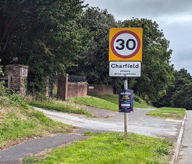
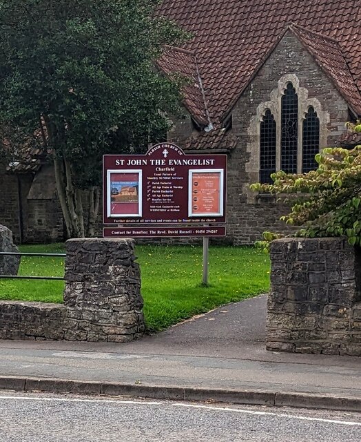
///ooze.seashell.scorch. Near Charfield, Gloucestershire

Related Wikis

Cromhall

Cromhall is a village in South Gloucestershire, England. It is located between Bagstone and Charfield on the B4058, and also borders Leyhill. The parish...

Slickstones Quarry, Cromhall

Slickstones Quarry, Cromhall (grid reference ST704916) is a 2.7 hectare geological Site of Special Scientific Interest near the village of Cromhall, South...

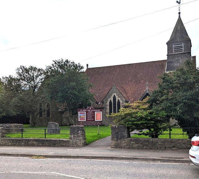
St James' Church, Charfield

St James' Church is a historic Anglican church at Churchend in the village of Charfield, Gloucestershire, England and is under the care of The Churches...

Bibstone

Bibstone is a village in Gloucestershire, England. == External links == Media related to Bibstone at Wikimedia Commons

Nearby Amenities

Located within 500m of 51.614305,-2.4221594
Note: double wooden power line poles
Power: pole
Lat/Long: 51.6175952/-2.4263081
Power: pole
Source: Bing
Lat/Long: 51.6162055/-2.4274926
Design: h-frame
Power: tower
Lat/Long: 51.6152748/-2.4274744
Power: pole
Source: Bing
Lat/Long: 51.6129056/-2.4281121
Power: tower
Lat/Long: 51.6172015/-2.42712
Power: pole
Source: Bing
Lat/Long: 51.6150902/-2.4277044
Design: h-frame
Power: tower
Lat/Long: 51.6120572/-2.4280797
Power: pole
Lat/Long: 51.6131119/-2.427891
Power: pole
Source: Bing
Lat/Long: 51.6139799/-2.427907
Power: pole
Lat/Long: 51.6185394/-2.4228615
Power: pole
Lat/Long: 51.6182161/-2.422441
Power: pole
Lat/Long: 51.6182931/-2.4249067
Design: h-frame
Power: tower
Lat/Long: 51.61639/-2.4272673
Design: h-frame
Power: tower
Lat/Long: 51.6169625/-2.4273523
Power: pole
Lat/Long: 51.6141708/-2.4276849
The data included in this document is from www.openstreetmap.org. The data is made available under ODbL.

Have you been to Hunt's Wood?

Leave your review of Hunt's Wood below (or comments, questions and feedback).