Moor Wood

Wood, Forest in Somerset South Somerset

England

Moor Wood

Hardway, Coachroad Farmhouse Former farmhouse, now detached from the farm, as are the former barns behind. Named after the coachroad that once ran from Redlynch House to Stourhead.
Hardway, Coachroad Farmhouse Credit: Mike Faherty

Moor Wood is a picturesque forest located in Somerset, England. Spread over a vast area of land, the wood is known for its natural beauty and diverse ecosystem. It is a popular destination for nature enthusiasts, hikers, and photographers.

The wood is home to a wide variety of flora and fauna, including ancient oak trees, beeches, and birches. The forest floor is adorned with carpets of bluebells during the springtime, creating a stunning display of colors. Moor Wood is also a habitat for many species of birds, such as woodpeckers, owls, and various songbirds, making it a haven for birdwatching.

The forest boasts well-maintained walking trails, allowing visitors to explore its natural wonders at their own pace. These trails meander through the wood, providing breathtaking views of the surrounding countryside. There are also designated picnic areas, where families and friends can enjoy a peaceful lunch amidst the tranquil setting.

Moor Wood is not only a place of natural beauty but also holds historical significance. It has been mentioned in local folklore and has remnants of ancient settlements, adding to its charm and intrigue.

With its serene atmosphere and abundant wildlife, Moor Wood is a sanctuary for those seeking solace in nature. Whether it is for a leisurely stroll, birdwatching, or simply escaping the hustle and bustle of city life, this forest offers a tranquil retreat for all who visit.

If you have any feedback on the listing, please let us know in the comments section below.
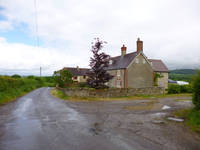
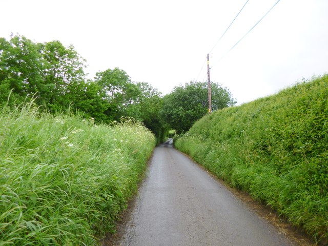
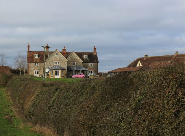
Moor Wood Images

Images are sourced within 2km of 51.095255/-2.4176126 or Grid Reference ST7032. Thanks to Geograph Open Source API. All images are credited.

Hardway, Coachroad Farmhouse Former farmhouse, now detached from the farm, as are the former barns behind. Named after the coachroad that once ran from Redlynch House to Stourhead.
Hardway, Coachroad Farmhouse
Former farmhouse, now detached from the farm, as are the former barns behind. Named after the coachroad that once ran from Redlynch House to Stourhead.
Hardway, coach road Former coach road between Stourhead and Redlynch House, used by George III when he visited these establishments; now farm road and bridleway, on the Leland Trail and Macmillan Way. In the distance, <a href="https://www.geograph.org.uk/photo/2975204">ST7233 : Hardway, Coachroad Farmhouse</a>.
Hardway, coach road
Former coach road between Stourhead and Redlynch House, used by George III when he visited these establishments; now farm road and bridleway, on the Leland Trail and Macmillan Way. In the distance, ST7233 : Hardway, Coachroad Farmhouse.
Hardway, cattle grazing Holsteins and what might be Devon Reds.
Hardway, cattle grazing
Holsteins and what might be Devon Reds.
Hardway, Walk Farmhouse
Barrow, Barrow Lane Country lane from Charlton Musgrove to Redlynch.
Barrow, Barrow Lane
Country lane from Charlton Musgrove to Redlynch.
Barrow Lane Farm With ewes, lambs, chickens and ducks in the garden.
Barrow Lane Farm
With ewes, lambs, chickens and ducks in the garden.
Stoney Stoke: Entrance to Knowlerock Farm
Stoney Stoke: View towards Redlynch View north-west, through a hedge, across fields towards Redlynch
Stoney Stoke: View towards Redlynch
View north-west, through a hedge, across fields towards Redlynch
Hardway: The Bull Inn The pub's history extends back to about 1650
Hardway: The Bull Inn
The pub's history extends back to about 1650
Hedge near Discove with Triangulation Pillar Viewed from the east.
Hedge near Discove with Triangulation Pillar
Viewed from the east.
Ordnance Survey Cut Mark This OS cut mark can be found on the NW face of St Peter's Church. It marks a point 148.048m above mean sea level.
Ordnance Survey Cut Mark
This OS cut mark can be found on the NW face of St Peter's Church. It marks a point 148.048m above mean sea level.
Approaching Coachroad Farmhouse The Leland Trail and MacMillan Way long distance footpath following the old coach road between Stourhead and Redlynch - the farm taking its name from this feature.
Approaching Coachroad Farmhouse
The Leland Trail and MacMillan Way long distance footpath following the old coach road between Stourhead and Redlynch - the farm taking its name from this feature.
Coachroad Farmhouse Passed by on the Leland Trail and MacMillan Way long distance footpaths, adopting the old coach road that once ran between Stourhead and Redlynch - hence the name of the farm.
Coachroad Farmhouse
Passed by on the Leland Trail and MacMillan Way long distance footpaths, adopting the old coach road that once ran between Stourhead and Redlynch - hence the name of the farm.
Old Coach Road approaching Walk Copse Part of the old coach road that describes an arrow straight course between the woods on the Stourhead Estate and Redlynch - some three miles in length.
Old Coach Road approaching Walk Copse
Part of the old coach road that describes an arrow straight course between the woods on the Stourhead Estate and Redlynch - some three miles in length.
Gnarled Trees observed from the Old Coach Road A public footpath follows tightly against the hedgerow in a northerly direction. The coach road passes this scene east to west
Gnarled Trees observed from the Old Coach Road
A public footpath follows tightly against the hedgerow in a northerly direction. The coach road passes this scene east to west
Leland Trail outside Brewhamfields Farm The Leland Trail and Macmillan Way long distance footpaths on a section of the old coach road between Stourhead and Redlynch.
It is a sloppy mess at this point, resembling the consistency of thick custard.
Leland Trail outside Brewhamfields Farm
The Leland Trail and Macmillan Way long distance footpaths on a section of the old coach road between Stourhead and Redlynch. It is a sloppy mess at this point, resembling the consistency of thick custard.
Redlynch Farm Farmhouse at Redlynch Cross, passed by on the Leland Trail/MacMillan Way long distance footpaths
Redlynch Farm
Farmhouse at Redlynch Cross, passed by on the Leland Trail/MacMillan Way long distance footpaths
Leland Trail in Moor Wood Adopting the old coach road that once stretched between Redlynch and the Stourhead Estate.
Leland Trail in Moor Wood
Adopting the old coach road that once stretched between Redlynch and the Stourhead Estate.
Show me another place!

Moor Wood is located at Grid Ref: ST7032 (Lat: 51.095255, Lng: -2.4176126)

Administrative County: Somerset

District: South Somerset

Police Authority: Avon and Somerset

What 3 Words

///trending.disbelief.dozen. Near Redlynch, Somerset

Related Wikis

Redlynch, Somerset

Redlynch is a village and former manor in the civil parish of Bruton, in the South Somerset district of Somerset, England. The 18th-century church and...

Church of St Peter, Redlynch

The Anglican Church of St Peter in Redlynch, Somerset, England was built in about 1750. It is a Grade II* listed building. == History == The church was...

Cogley Wood

Cogley Wood (grid reference ST703345) is a 60.7 hectare biological Site of Special Scientific Interest east of Bruton in Somerset, notified in 1987. The...

Charlton Musgrove

Charlton Musgrove is a village and civil parish in Somerset, England, situated 1 mile (1.6 km) north east of Wincanton in the South Somerset district....

Shepton Montague Railway Cutting

Shepton Montague Railway Cutting (grid reference ST686316) is a 1.61 hectare geological Site of Special Scientific Interest at Shepton Montague in Somerset...

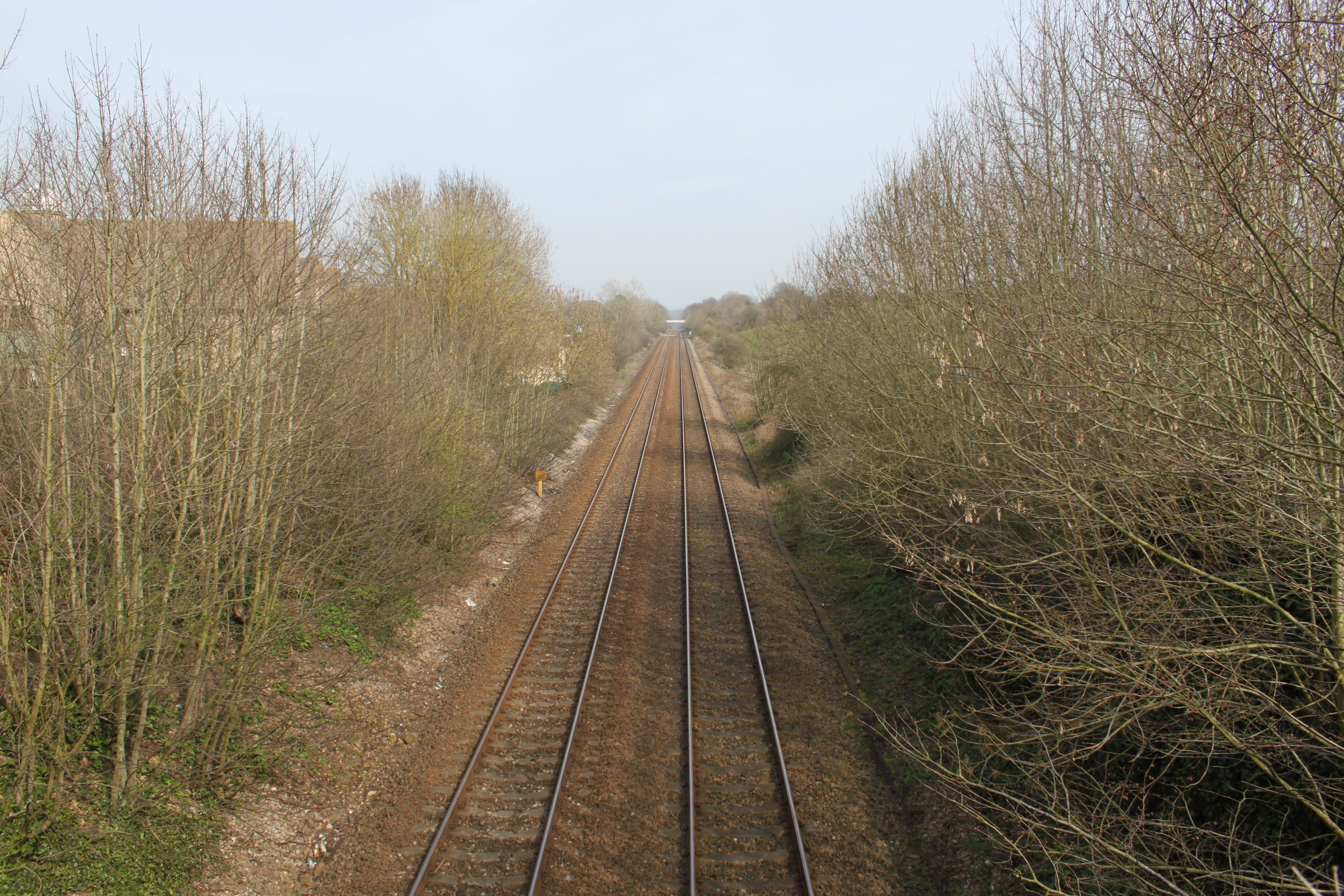
Bruton railway cutting

Bruton Railway Cutting is a 1.7 hectare geological Site of Special Scientific Interest at Bruton in Somerset, notified in 1971. The geology exposed in...

Bruton railway station

Bruton railway station serves a largely rural area in the county of Somerset in England. The station is situated in the market town of Bruton. The station...
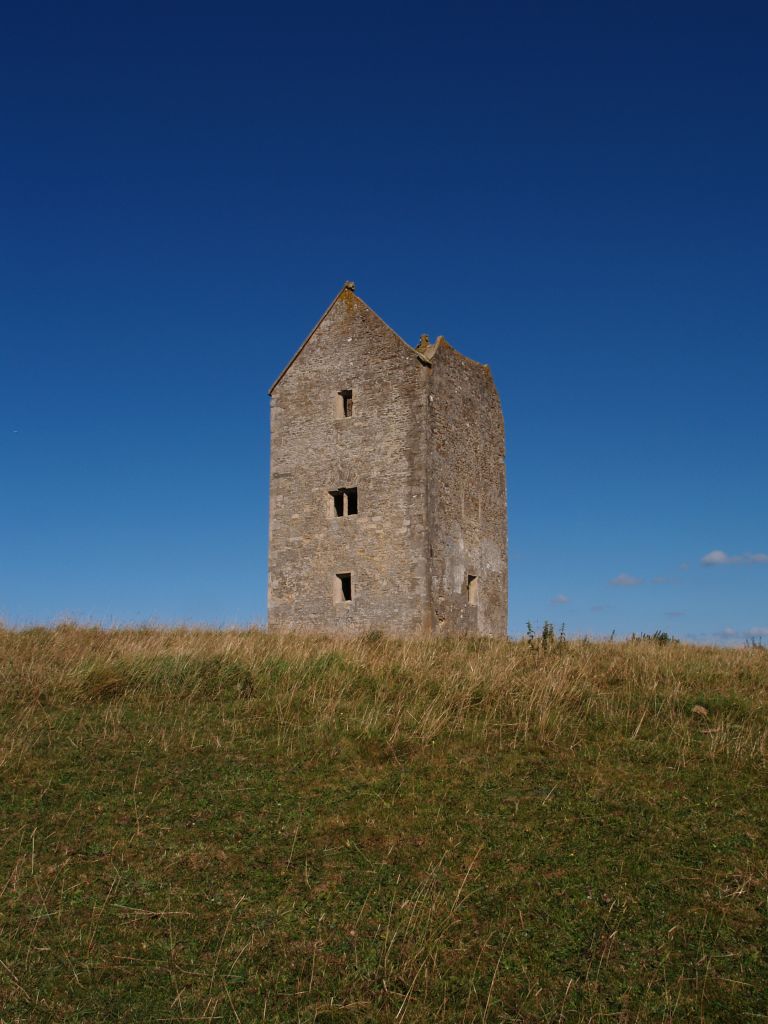
Bruton Dovecote

The Bruton Dovecote is a limestone tower that was built between the 15th and 17th century in Bruton in the English county of Somerset. The structure was...

Have you been to Moor Wood?

Leave your review of Moor Wood below (or comments, questions and feedback).