Birches Coppice

Wood, Forest in Worcestershire

England

Birches Coppice

Hops no more Where once there were these <a title="https://www.geograph.org.uk/photo/813175" href="https://www.geograph.org.uk/photo/813175">Link</a> there is now simply a ploughed field.  Farming economics can be brutal.
Hops no more Credit: Peter Whatley

Birches Coppice is a picturesque woodland located in Worcestershire, England. Covering an area of approximately 50 acres, it is known for its dense growth of birch trees, which lend the area its name. The coppice itself is situated on the outskirts of the village, nestled between rolling hills and meandering streams.

The woodland is a popular destination for nature lovers and outdoor enthusiasts due to its stunning natural beauty and abundant wildlife. The tall, slender birch trees dominate the landscape, their silver-white trunks contrasting against the lush green foliage. The dappled sunlight filters through the canopy, creating a magical atmosphere, particularly in the early morning or late afternoon.

Visitors to Birches Coppice can enjoy a range of activities, including walking, hiking, and birdwatching. There are several well-maintained trails that wind through the woodland, offering opportunities to explore its diverse flora and fauna. The forest floor is carpeted with wildflowers in the spring, while in the autumn, the falling leaves create a vibrant tapestry of colors.

The woodland is home to a variety of wildlife, including deer, foxes, and numerous bird species. Birdwatchers can spot woodpeckers, owls, and other woodland birds, while nature enthusiasts can observe the delicate ecosystem at work.

Birches Coppice is a true haven for those seeking a peaceful retreat in nature. Its idyllic setting, diverse wildlife, and tranquil atmosphere make it a must-visit destination for both locals and tourists alike.

If you have any feedback on the listing, please let us know in the comments section below.

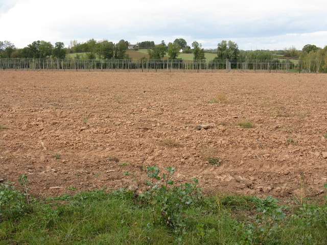
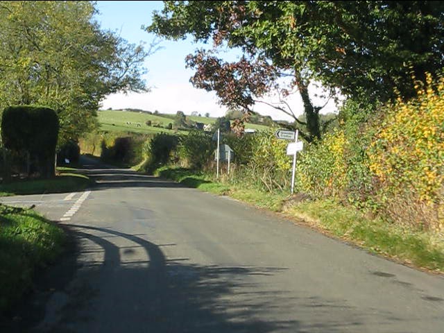
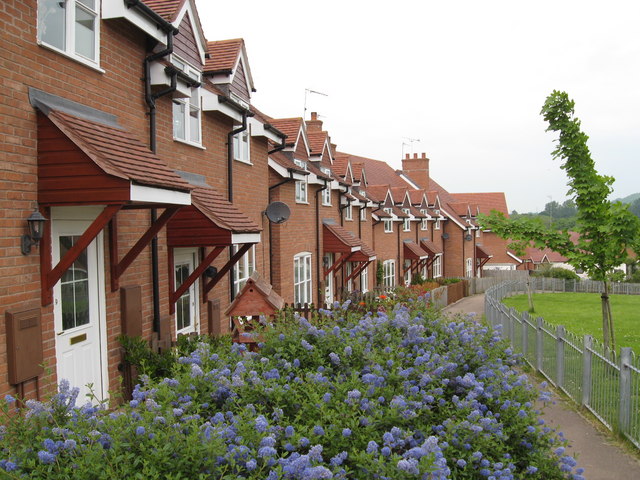
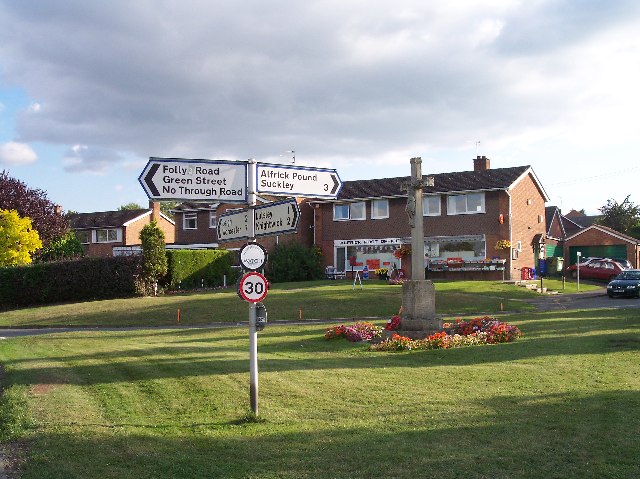
Birches Coppice Images

Images are sourced within 2km of 52.153688/-2.4297889 or Grid Reference SO7050. Thanks to Geograph Open Source API. All images are credited.

Hops no more Where once there were these <a title="https://www.geograph.org.uk/photo/813175" href="https://www.geograph.org.uk/photo/813175">Link</a> there is now simply a ploughed field.  Farming economics can be brutal.
Hops no more
Where once there were these Link there is now simply a ploughed field. Farming economics can be brutal.
The big field in October A huge field extending from Stocks Cross to Down's Bridge.
The big field in October
A huge field extending from Stocks Cross to Down's Bridge.
Woodland Road, Suckley
Lower half of Stocks Crossroads, Suckley Although always referred to as a crossroads, on the ground there are two T-junctions separated by this short stretch of road.
Lower half of Stocks Crossroads, Suckley
Although always referred to as a crossroads, on the ground there are two T-junctions separated by this short stretch of road.
Lane junction for Lower Barrow
The big field in November
Oast Houses west of Stocks Cross Converted oast houses on the road to Acton Beauchamp.  They are now apartments and a pre-school facility.
Oast Houses west of Stocks Cross
Converted oast houses on the road to Acton Beauchamp. They are now apartments and a pre-school facility.
Suckley school & church A long-lens shot of the school (centre) with Suckley Church to its right.  Unlike the "classic" English village, Suckley has no obvious centre.  The school and church stand in an isolated position with a farm and a few houses as neighbours.
Suckley school & church
A long-lens shot of the school (centre) with Suckley Church to its right. Unlike the "classic" English village, Suckley has no obvious centre. The school and church stand in an isolated position with a farm and a few houses as neighbours.
The new crop Where once there were tall hop poles, apples are now being grown for cider pressing.  For earlier photos of this large field, see: <a title="https://www.geograph.org.uk/photo/813179" href="https://www.geograph.org.uk/photo/813179">Link</a> and <a title="https://www.geograph.org.uk/photo/2656180" href="https://www.geograph.org.uk/photo/2656180">Link</a>.
The new crop
Where once there were tall hop poles, apples are now being grown for cider pressing. For earlier photos of this large field, see: Link and Link.
Suckley - bottle banks in the Village Hall car park
Bridleway to Hall House A very long access road leads off the Knightwick Road to barn conversions in the shadow of the Suckley Hills.
Bridleway to Hall House
A very long access road leads off the Knightwick Road to barn conversions in the shadow of the Suckley Hills.
Open space on Damson Way A green area features in the middle of the Damson Way estate at Suckley.
Open space on Damson Way
A green area features in the middle of the Damson Way estate at Suckley.
The harvest is in Despite the appallingly wet summer of 2012, the harvest is in in the large field south of Suckley school. Converted oast houses on the road from Suckley to Acton Green are visible in the distance.
The harvest is in
Despite the appallingly wet summer of 2012, the harvest is in in the large field south of Suckley school. Converted oast houses on the road from Suckley to Acton Green are visible in the distance.
Lower end of Damson Way, Suckley The houses here are mainly "affordable housing" constructed and maintained by a local housing association.
Lower end of Damson Way, Suckley
The houses here are mainly "affordable housing" constructed and maintained by a local housing association.
Changing Rooms, Suckley Playing Fields Suckley's community playing fields are poorly situated in relation to most of the village and accessible only down a narrow lane, forbidding to most potential users.  A pity as the facility features both a full-sized grass football pitch, an all-weather 5-a-side area and also some limited facilities for younger children.
Changing Rooms, Suckley Playing Fields
Suckley's community playing fields are poorly situated in relation to most of the village and accessible only down a narrow lane, forbidding to most potential users. A pity as the facility features both a full-sized grass football pitch, an all-weather 5-a-side area and also some limited facilities for younger children.
Children's climbing frame, Suckley playing fields In splendid isolation on the playing fields and a long walk from home for short legs.
Children's climbing frame, Suckley playing fields
In splendid isolation on the playing fields and a long walk from home for short legs.
Suckley Church Dedicated to St John the Baptist, the building is typical of so many village churches. Dear to the hearts of many villagers, but with an average congregation of barely a dozen.
Suckley Church
Dedicated to St John the Baptist, the building is typical of so many village churches. Dear to the hearts of many villagers, but with an average congregation of barely a dozen.
Suckley church porch The decorations are remnants from a flower festival held in late September 2012.
Suckley church porch
The decorations are remnants from a flower festival held in late September 2012.
Show me another place!

Birches Coppice is located at Grid Ref: SO7050 (Lat: 52.153688, Lng: -2.4297889)

Unitary Authority: County of Herefordshire

Police Authority: West Mercia

What 3 Words

///jetliner.varieties.basic. Near Evesbatch, Herefordshire

Nearby Locations

Birches Coppice

Related Wikis

Nearby Amenities

Located within 500m of 52.153688,-2.4297889
Post Box
Collection Times: Mo-Fr 09:00; Sa 07:00
Post Box Type: lamp
Ref: WR6 423D
Royal Cypher: EIIR
Royal Cypher Wikidata: Q33102113
Lat/Long: 52.1528695/-2.4238939
Power: tower
Lat/Long: 52.1515509/-2.4290043
Power: tower
Lat/Long: 52.1534991/-2.4253712
Power: tower
Lat/Long: 52.1503904/-2.4311681
Acton Mills Cottage
Power: pole
Transformer: distribution
Voltage Primary: 11000
Lat/Long: 52.152602/-2.4242952
Power: pole
Lat/Long: 52.1525719/-2.4237963
Power: pole
Lat/Long: 52.1525246/-2.4230077
Wood Farm
Power: pole
Transformer: distribution
Voltage Primary: 11000
Lat/Long: 52.1521005/-2.4328507
Power: pole
Lat/Long: 52.1520219/-2.4336641
Power: pole
Lat/Long: 52.1519108/-2.434792
Power: pole
Lat/Long: 52.1518347/-2.4355437
The data included in this document is from www.openstreetmap.org. The data is made available under ODbL.

Have you been to Birches Coppice?

Leave your review of Birches Coppice below (or comments, questions and feedback).