Crawless Covert

Wood, Forest in Gloucestershire Stroud

England

Crawless Covert

Grubby direction sign 1 mile from Blanchworth Pointing towards a minor road, the sign facing the A38 in Gloucestershire 
is 1 mile from Blanchworth, 2½ from Stinchcombe, 3 from North Nibley.
Grubby direction sign 1 mile from Blanchworth Credit: Jaggery

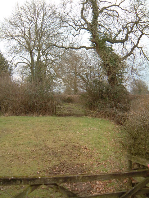
Crawless Covert is a picturesque woodland area located in Gloucestershire, England. Situated in the heart of the Forest of Dean, it is a haven for nature lovers and outdoor enthusiasts alike. The woodland covers an area of approximately 100 acres and is famous for its diverse flora and fauna.

The woodland is predominantly composed of ancient oak trees, which provide a stunning canopy and create a sense of tranquility. The forest floor is covered in a thick carpet of moss, ferns, and wildflowers, adding to the area's natural beauty. Various species of birds can be spotted in Crawless Covert, including woodpeckers, owls, and songbirds, making it a popular spot for birdwatching.

Crawless Covert is intersected by several walking trails, allowing visitors to explore the woodland at their own pace. These trails offer breathtaking views of the surrounding countryside and provide opportunities for wildlife spotting. The woodland is also home to a number of small mammals, such as foxes, rabbits, and badgers.

In addition to its natural wonders, Crawless Covert has historical significance. It is believed to have been used as a hiding place for local villagers during times of conflict and was once a popular spot for illicit activities such as smuggling.

Overall, Crawless Covert is a hidden gem in Gloucestershire, offering a peaceful retreat amidst nature's beauty. Whether one is seeking a leisurely stroll, birdwatching, or a glimpse into the region's history, this woodland provides an enriching experience for visitors of all ages.

If you have any feedback on the listing, please let us know in the comments section below.

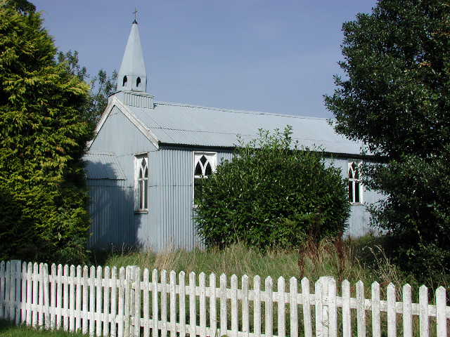
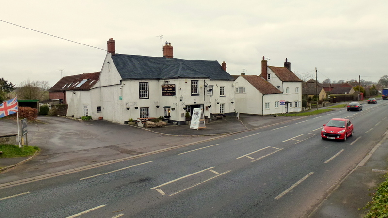
Crawless Covert Images

Images are sourced within 2km of 51.698788/-2.4267075 or Grid Reference SO7000. Thanks to Geograph Open Source API. All images are credited.

Grubby direction sign 1 mile from Blanchworth Pointing towards a minor road, the sign facing the A38 in Gloucestershire 
is 1 mile from Blanchworth, 2½ from Stinchcombe, 3 from North Nibley.
Grubby direction sign 1 mile from Blanchworth
Pointing towards a minor road, the sign facing the A38 in Gloucestershire is 1 mile from Blanchworth, 2½ from Stinchcombe, 3 from North Nibley.
Typo on a temporary sign in rural Gloucestershire Temporary signs across a minor road face the A38 in October 2023.
NURSARY is a typo for NURSERY
Typo on a temporary sign in rural Gloucestershire
Temporary signs across a minor road face the A38 in October 2023. NURSARY is a typo for NURSERY
Old Milestone by B4066, Berkeley Heath The Milestone is located in front of Field View on verge on the South of the road.  Parish of Berkeley (Stroud District). Carved stone post, erected by the Berkley & Dursley (Division) turnpike trust in the 19C Century, Minor chips on edges. An earlier photograph can be found here: <a title="https://www.geograph.org.uk/photo/6098469" href="https://www.geograph.org.uk/photo/6098469">Link</a> 

Inscription reads:-  
TO / (BERKELEY) / 1 / MILE  

Milestone Society National ID: GL_BKDY01
Old Milestone by B4066, Berkeley Heath
The Milestone is located in front of Field View on verge on the South of the road.  Parish of Berkeley (Stroud District). Carved stone post, erected by the Berkley & Dursley (Division) turnpike trust in the 19C Century, Minor chips on edges. An earlier photograph can be found here: Link  Inscription reads:- TO / (BERKELEY) / 1 / MILE Milestone Society National ID: GL_BKDY01
Breadstone (Glos) St Michael's Church Scheduled for demolition after closure in 2000, the church still lingered on in March 2005.
Breadstone (Glos) St Michael's Church
Scheduled for demolition after closure in 2000, the church still lingered on in March 2005.
Heathfield A view north up the A38 as it passes through the hamlet of Heathfield.
Heathfield
A view north up the A38 as it passes through the hamlet of Heathfield.
Berkeley Heath Section of grazing land sandwiched between the A38 and its intersection with the B4066 opposite Pickwick Farm.
Berkeley Heath
Section of grazing land sandwiched between the A38 and its intersection with the B4066 opposite Pickwick Farm.
Call a Halt Filling station and hotel on the A38 near Leathern Bottle.
Call a Halt
Filling station and hotel on the A38 near Leathern Bottle.
Berkeley Road - the old station Looking north from the bridge on the A38. Berkeley Road Station stood here; the Stationmaster's house is just visible on the right. The line just disappearing off to the left leads to Sharpness docks and, once, across the Severn to Lydney.
Berkeley Road - the old station
Looking north from the bridge on the A38. Berkeley Road Station stood here; the Stationmaster's house is just visible on the right. The line just disappearing off to the left leads to Sharpness docks and, once, across the Severn to Lydney.
Manor Farm, Breadstone This partly mediaeval house is approached through rusticated 18th century gate piers with enormous ball finials.
Manor Farm, Breadstone
This partly mediaeval house is approached through rusticated 18th century gate piers with enormous ball finials.
Breadstone House This charming early Victorian house is viewed from the road. It is now a Residential Home for the elderly.
Breadstone House
This charming early Victorian house is viewed from the road. It is now a Residential Home for the elderly.
Railway Line Looking south from the bridge on the A38. The line leads to Yate and Bristol and was the Midland Railway's line from Birmingham, deep in the heart of Great Western Railway country.
Railway Line
Looking south from the bridge on the A38. The line leads to Yate and Bristol and was the Midland Railway's line from Birmingham, deep in the heart of Great Western Railway country.
Green Lane This public footpath crosses the square diagonally from north-west to south-east. This view is as the path leaves the road in the top north-western corner of the square, just south of Halmore and heads south-east to Breadstone.
Green Lane
This public footpath crosses the square diagonally from north-west to south-east. This view is as the path leaves the road in the top north-western corner of the square, just south of Halmore and heads south-east to Breadstone.
Coldelm Farm, Berkeley Heath
Goods line to Sharpness docks
Bristol to Gloucester train Approaching the site of Berkeley Road station, from the south.
Bristol to Gloucester train
Approaching the site of Berkeley Road station, from the south.
Toll house, Berkeley Heath
Rail bridge, near Blanchworth
A38, near Berkeley Road Berkeley Road is a little further on in the direction of view. The viewpoint was a convenient gateway to a small BT exchange.
A38, near Berkeley Road
Berkeley Road is a little further on in the direction of view. The viewpoint was a convenient gateway to a small BT exchange.
Show me another place!

Crawless Covert is located at Grid Ref: SO7000 (Lat: 51.698788, Lng: -2.4267075)

Administrative County: Gloucestershire

District: Stroud

Police Authority: Gloucestershire

What 3 Words

///irritate.silently.unloads. Near Berkeley, Gloucestershire

Nearby Locations

Crawless Covert

Related Wikis

Hamfallow

Hamfallow is a civil parish in the district of Stroud, Gloucestershire. There is no village centre, the parish consists of farms and hamlets such as Abwell...

Breadstone

Breadstone is a village and former civil parish, now in the parish of Hamfallow, in the Stroud district, in the county of Gloucestershire, England. In...

Berkeley Road railway station

Berkeley Road railway station served the towns of Berkeley and Dursley in Gloucestershire, England. == History == The station was one of the first six...

Newport, Gloucestershire

Newport is a village in Alkington parish, Gloucestershire, England. Located along the A38 road roughly halfway between Bristol and Gloucester. It is located...

Berkeley railway station

Berkeley railway station served the town of Berkeley in Gloucestershire, England. The station was on the Sharpness Branch Line, part of the Midland Railway...

Berkeley Town Hall

Berkeley Town Hall is a municipal building in Salter Street, Berkeley, Gloucestershire, England. The structure, which is now used as a community events...

Berkeley Castle

Berkeley Castle ( BARK-lee; historically sometimes spelled as Berkley Castle or Barkley Castle) is a castle in the town of Berkeley, Gloucestershire, United...

St Mary's Church, Berkeley

The Church of St Mary the Virgin is an Anglican church in Berkeley, Gloucestershire, England, and in the Diocese of Gloucester. The building is Grade I...

Nearby Amenities

Located within 500m of 51.698788,-2.4267075
Note: power line tower now removed (do not re-trace from old imagery)
Lat/Long: 51.7012511/-2.4219838
Note: power line tower now removed (do not re-trace from old imagery)
Lat/Long: 51.7000204/-2.4303535
Note: power line tower now removed (do not re-trace from old imagery)
Lat/Long: 51.6998332/-2.4260071
Barrier: stile
Lat/Long: 51.7024317/-2.4277899
Barrier: stile
Lat/Long: 51.6997741/-2.4311913
Barrier: stile
Lat/Long: 51.702867/-2.4263972
Power: pole
Lat/Long: 51.7014888/-2.432152
Power: pole
Lat/Long: 51.7015254/-2.4305159
Power: pole
Lat/Long: 51.7015935/-2.429207
Power: pole
Lat/Long: 51.7017913/-2.4271792
Power: pole
Lat/Long: 51.7019592/-2.4255404
Power: pole
Lat/Long: 51.7020822/-2.4241698
Power: pole
Lat/Long: 51.7022452/-2.4226624
The data included in this document is from www.openstreetmap.org. The data is made available under ODbL.

Have you been to Crawless Covert?

Leave your review of Crawless Covert below (or comments, questions and feedback).