Angerham Wood
Wood, Forest in Yorkshire Ribble Valley
England
Angerham Wood
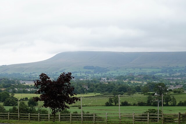
Angerham Wood is a picturesque forest located in the county of Yorkshire, England. Covering an area of approximately 200 acres, this woodland is renowned for its natural beauty and rich biodiversity.
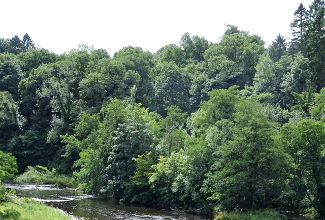
The woodland consists of a mix of deciduous and coniferous trees, including oak, beech, pine, and birch. These towering trees provide a dense canopy, creating a tranquil and shady atmosphere within the forest. The forest floor is covered in a thick layer of leaf litter, creating a soft carpet underfoot and providing a habitat for a variety of small animals and insects.
Angerham Wood is home to a diverse range of wildlife. Visitors may spot deer grazing in the clearings, squirrels scampering up the trees, and a variety of bird species fluttering among the branches. The forest is particularly popular among birdwatchers, as it attracts a wide range of species, including woodpeckers, nuthatches, and tawny owls.
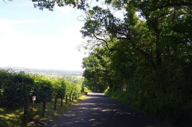
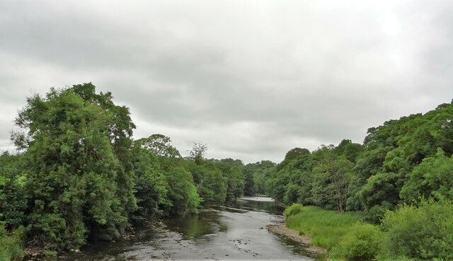
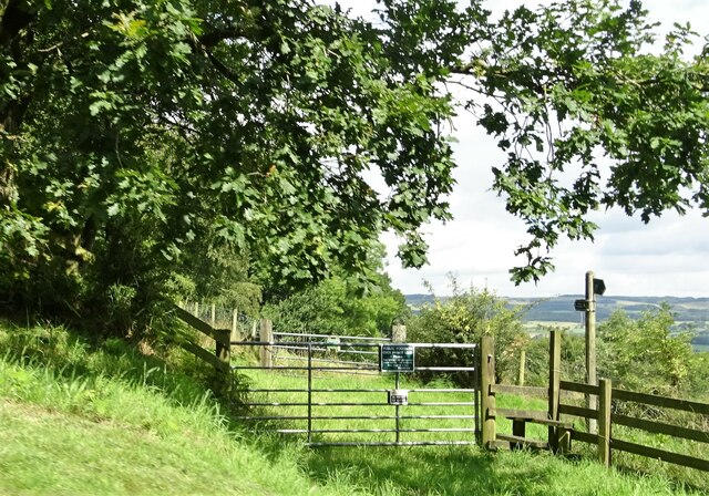
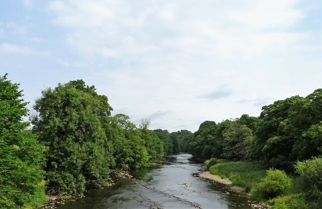
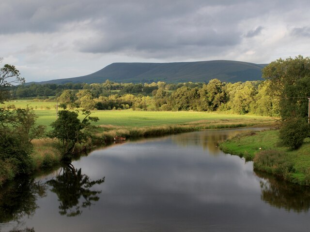
The forest offers a network of well-maintained trails, allowing visitors to explore its natural wonders at their own pace. These trails meander through the woodland, offering glimpses of enchanting glades, babbling brooks, and hidden ponds. The forest is also intersected by a small stream, adding to its ethereal charm.
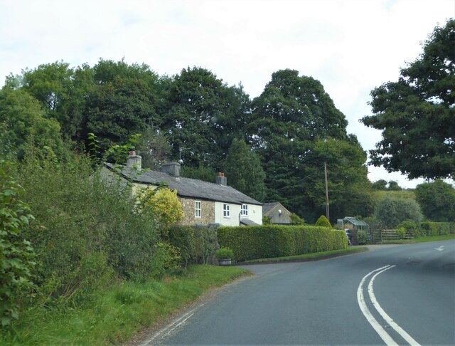
Angerham Wood is a popular destination for nature enthusiasts, hikers, and families seeking a peaceful retreat. Its natural beauty and tranquil atmosphere make it an ideal place for a leisurely stroll, a picnic, or simply to immerse oneself in the wonders of nature.
If you have any feedback on the listing, please let us know in the comments section below.
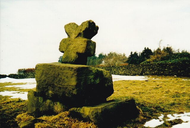
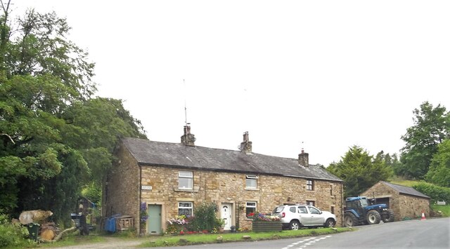
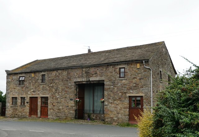
Angerham Wood Images
Images are sourced within 2km of 53.85733/-2.4484453 or Grid Reference SD7040. Thanks to Geograph Open Source API. All images are credited.
Angerham Wood is located at Grid Ref: SD7040 (Lat: 53.85733, Lng: -2.4484453)
Division: West Riding
Administrative County: Lancashire
District: Ribble Valley
Police Authority: Lancashire
What 3 Words
///puns.terribly.galloped. Near Clitheroe, Lancashire
Nearby Locations
Related Wikis
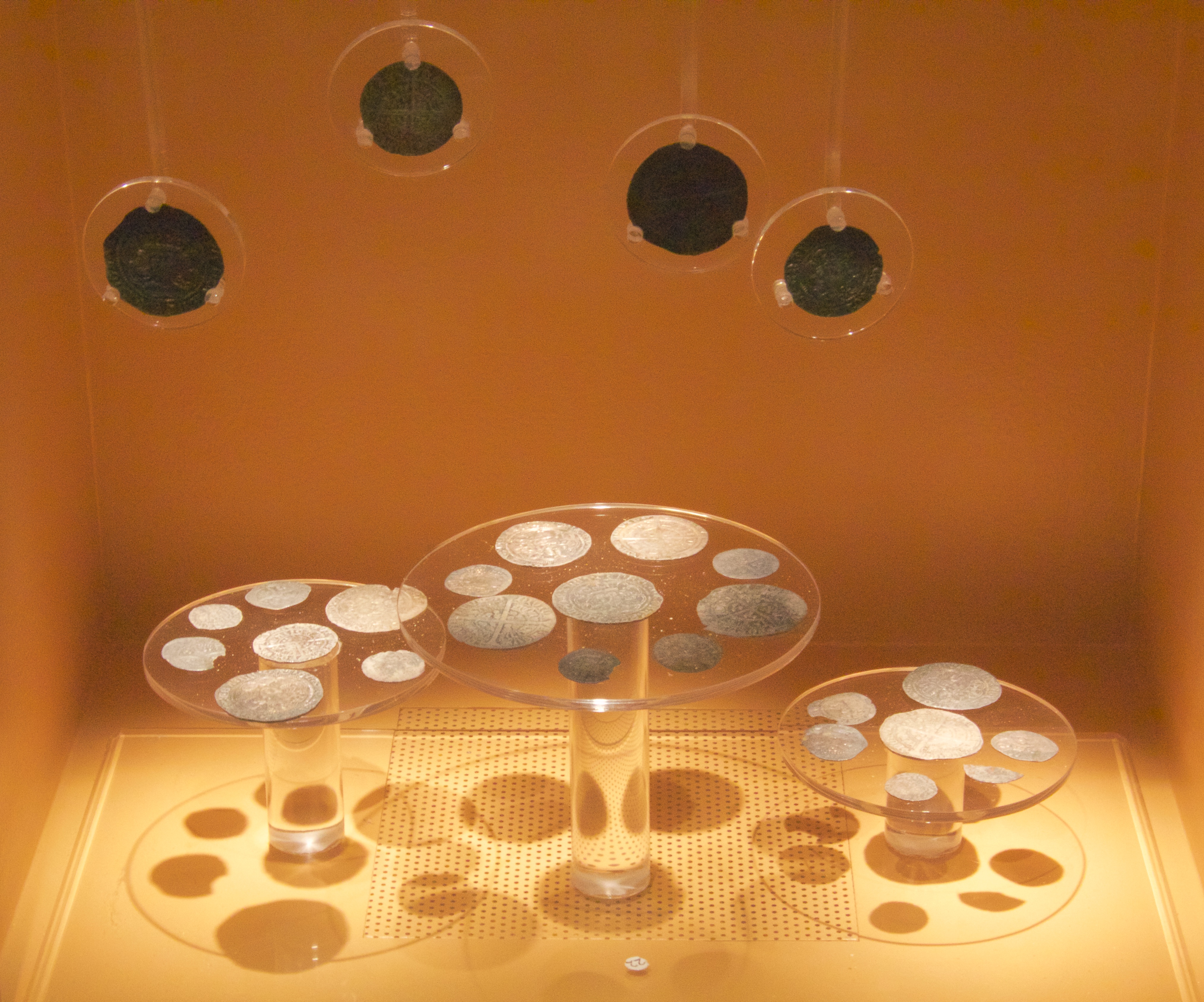
Mitton Hoard
The Mitton Hoard is a hoard of silver coins found near Clitheroe in Lancashire, England, in 2006 or 2009. The hoard is now in Clitheroe Castle Museum...

Great Mitton
Great Mitton is a village and a civil parish in the Ribble Valley, Lancashire, England. It is separated from the civil parish of Little Mitton by the River...

River Calder, Lancashire
The River Calder is a major tributary of the River Ribble in Lancashire, England, and is around 20 miles (32 km) in length. == Course == Starting in Cliviger...
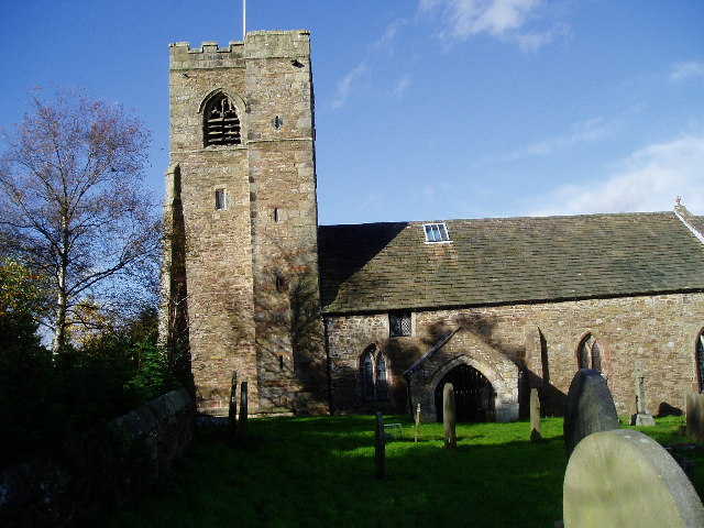
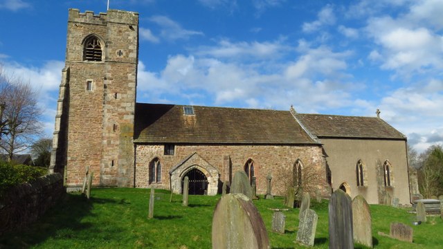
All Hallows Church, Great Mitton
All Hallows Church, Great Mitton, is in the village of Great Mitton, Lancashire, England. It is an active Anglican parish church in the deanery of Whalley...
Nearby Amenities
Located within 500m of 53.85733,-2.4484453Have you been to Angerham Wood?
Leave your review of Angerham Wood below (or comments, questions and feedback).