Coup Green

Settlement in Lancashire South Ribble

England

Coup Green

M5 crossing the River Ribble east of Preston Slipway for the A677 on the other viaduct
M5 crossing the River Ribble east of Preston Credit: Eirian Evans

Coup Green is a small village located in the county of Lancashire, England. Situated within the district of West Lancashire, the village is nestled amidst picturesque countryside and offers a tranquil and idyllic setting for its residents.

The village is primarily residential, with a population of around 500 residents. The houses in Coup Green range from charming cottages with thatched roofs to modern homes, catering to a variety of preferences and architectural styles. The community is known for its close-knit and friendly atmosphere, where neighbors often come together for various social events and gatherings.

Despite its small size, Coup Green benefits from its proximity to nearby towns and amenities. The village is located just a short distance from the town of Ormskirk, which offers a range of shops, restaurants, and other essential services. Additionally, the vibrant city of Liverpool is easily accessible, providing residents with access to a wider range of cultural, entertainment, and employment opportunities.

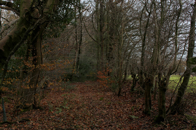
Coup Green is surrounded by beautiful countryside, making it an ideal location for outdoor enthusiasts. The village is in close proximity to numerous walking and cycling routes, allowing residents to explore the stunning landscapes and enjoy the fresh air. The nearby Tawd Valley Park offers additional recreational opportunities, including trails, picnic areas, and a playground.

In summary, Coup Green in Lancashire is a charming village that provides a peaceful and picturesque living environment. With its friendly community, convenient location, and natural beauty, it offers an attractive place to call home.

If you have any feedback on the listing, please let us know in the comments section below.
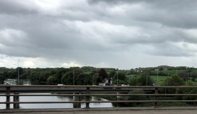
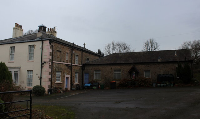
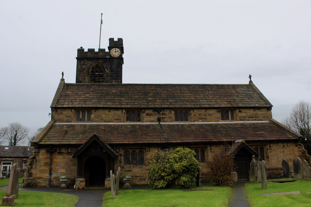
Coup Green Images

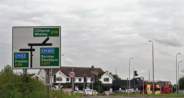
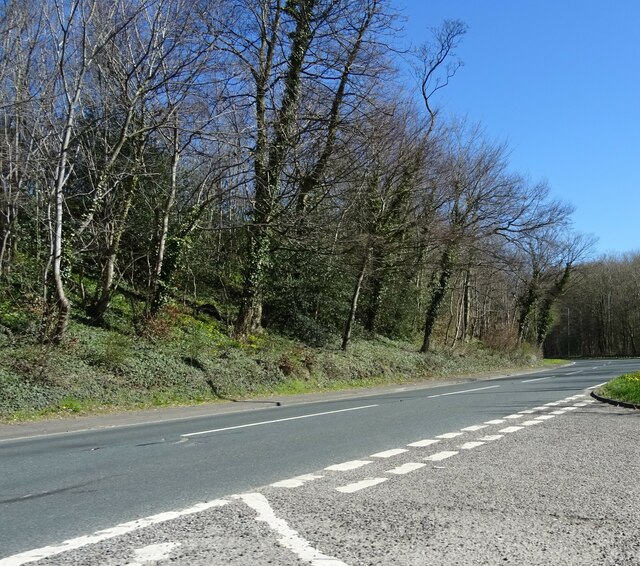
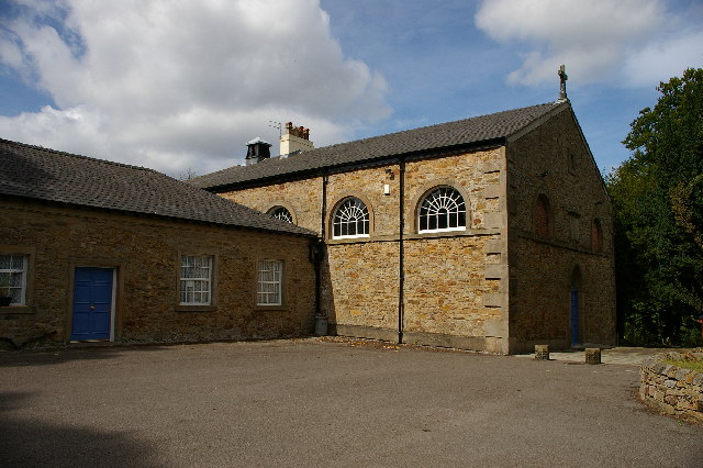
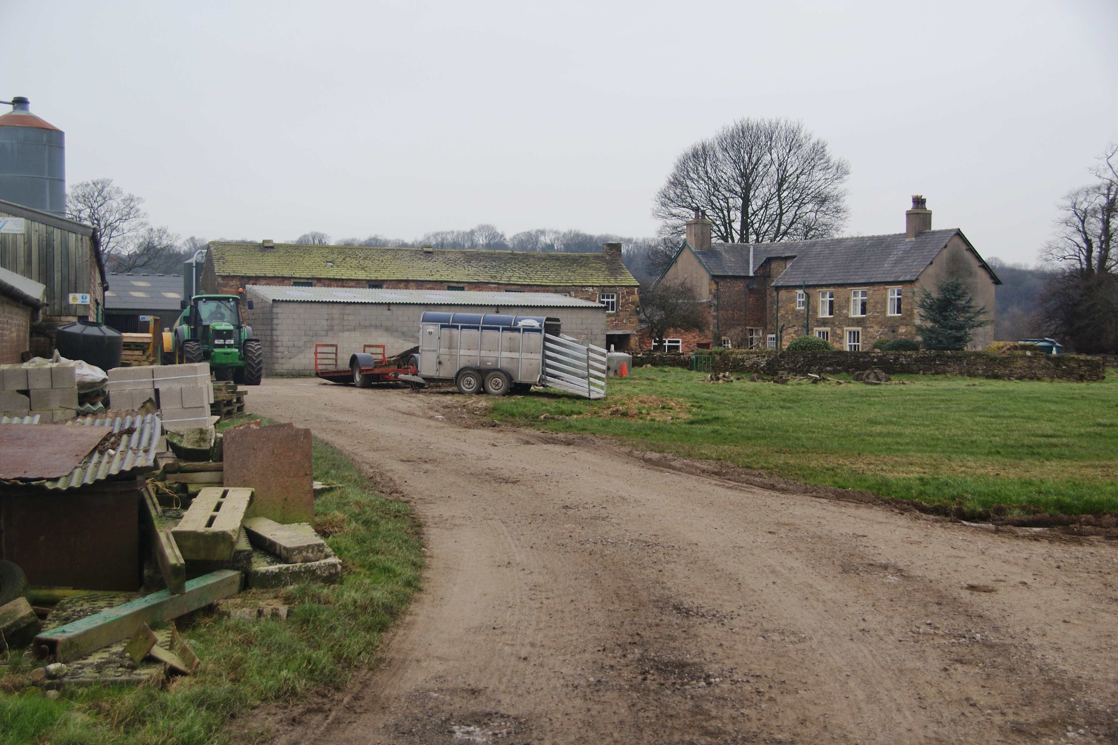
Images are sourced within 2km of 53.753818/-2.611925 or Grid Reference SD5928. Thanks to Geograph Open Source API. All images are credited.

M5 crossing the River Ribble east of Preston Slipway for the A677 on the other viaduct
M5 crossing the River Ribble east of Preston
Slipway for the A677 on the other viaduct
St. Mary and St John Southworth Church, Salmesbury Unusual Roman Catholic Church in the scattered community of Salmesbury
<a href="https://www.geograph.org.uk/photo/3876178">SD5930 : St Mary's And St John Southworth Church, Samlesbury</a>
St. Mary and St John Southworth Church, Salmesbury
Unusual Roman Catholic Church in the scattered community of Salmesbury SD5930 : St Mary's And St John Southworth Church, Samlesbury
Strip of Woodland beside the A59 Woodland footpath in the scattered community of Samlesbury.
Strip of Woodland beside the A59
Woodland footpath in the scattered community of Samlesbury.
St. Leonard the Less Church, Salmesbury Grade I Listed Building mostly dating from the 1550's. 
There are roughly around 10 saints called Leonard - but I cannot identify which one is applicable to this church.
St. Leonard the Less Church, Salmesbury
Grade I Listed Building mostly dating from the 1550's. There are roughly around 10 saints called Leonard - but I cannot identify which one is applicable to this church.
Road junction Cuerdale Lane and Spring Lane join the A59 and A677.
Road junction
Cuerdale Lane and Spring Lane join the A59 and A677.
St Leonard The Less, Samlesbury
OS Published Abstract Bolt: Samlesbury, St. Leonard's Church <span class="nowrap"><a title="https://www.bench-marks.org.uk/bm29550" rel="nofollow ugc noopener" href="https://www.bench-marks.org.uk/bm29550">Link</a><img style="margin-left:2px;" alt="External link" title="External link - shift click to open in new window" src="https://s1.geograph.org.uk/img/external.png" width="10" height="10"/></span>
OS Published Abstract Bolt: Samlesbury, St. Leonard's Church
Location of OS Published Abstract Bolt: Samlesbury, St. Leonard's Church
The A59 At its junction with Vicarage Lane in Cuerdale.
The A59
At its junction with Vicarage Lane in Cuerdale.
St Mary's and St John Southworth Church, Samlesbury
River Ribble near M6 junction 31
St. Leonard the Less, Samlesbury Looking across the Ribble.
St. Leonard the Less, Samlesbury
Looking across the Ribble.
St Leonard the Less, Samlesbury, Lychgate
St Leonard the Less, Samlesbury
St Leonard the Less, Samlesbury, Porch
St Leonard the Less, Samlesbury, Doorway
Show me another place!

Coup Green is located at Grid Ref: SD5928 (Lat: 53.753818, Lng: -2.611925)

Administrative County: Lancashire

District: South Ribble

Police Authority: Lancashire

What 3 Words

///round.searching.paddle. Near Preston, Lancashire

Nearby Locations

Coup Green

Related Wikis

Coupe Green

Coupe Green or Coup Green is a village in Lancashire, England. It is located on the A675 between Higher Walton and Hoghton. The village is in the borough...

Samlesbury

Samlesbury ( or locally ) is a village and civil parish in South Ribble, Lancashire, England. Samlesbury Hall, a historic house, is in the village, as...

Church of St Leonard the Less, Samlesbury

The Church of St Leonard the Less is an Anglican church in the village of Samlesbury, Lancashire, England, situated close to the banks of the River Ribble...

Cuerdale

Cuerdale is a civil parish in the South Ribble district of Lancashire, England. It includes Cuerdale Hall and has no substantive settlements. It originated...

Nearby Amenities

Located within 500m of 53.753818,-2.611925
Roach Bridge
Is In: South Ribble, Lancashire, England, UK
Place: hamlet
Source: npe
Lat/Long: 53.7542721/-2.6147085
Power: pole
Lat/Long: 53.7531853/-2.6122976
Power: pole
Lat/Long: 53.7536453/-2.6126171
Roach Rd ABS
Operator: Electricity North West
Pole: switch
Power: pole
Ref: 232724
Switch Ref: 411196
Voltage: 11000
Lat/Long: 53.7542154/-2.6116537
Power: pole
Lat/Long: 53.7546451/-2.6108346
Waterway: weir
Lat/Long: 53.7547484/-2.6142417
Power: pole
Lat/Long: 53.7503972/-2.616734
Power: pole
Lat/Long: 53.7510537/-2.6161975
Roach Bridge Mill
Description: List of businesses at Roach Bridge Mill
Information: sign
Lat/Long: 53.7539262/-2.6132917
Barrier: stile
Lat/Long: 53.7544516/-2.6184508
Board Type: notice
Information: board
Lat/Long: 53.7545309/-2.6149913
Pole: switch
Power: pole
Lat/Long: 53.7545585/-2.6045363
the River Darwen at Roach Bridge
Board Type: history;wildlife
Information: board
Tourism: information
Lat/Long: 53.7545451/-2.6149861
Power: pole
Lat/Long: 53.7549082/-2.6187592
Power: pole
Lat/Long: 53.7554555/-2.6177791
Power: pole
Lat/Long: 53.7560881/-2.6166791
Power: pole
Lat/Long: 53.7568093/-2.6155737
Power: pole
Lat/Long: 53.7576124/-2.6157752
Power: pole
Lat/Long: 53.7555593/-2.6141459
Power: pole
Lat/Long: 53.7572354/-2.6130372
Power: pole
Lat/Long: 53.7578852/-2.6125883
Barrier: cattle_grid
Lat/Long: 53.7543722/-2.6161508
Post Box
Collection Times: Mo-Fr 16:00; Sa 09:30
Operator: Royal Mail
Post Box Type: lamp
Ref: PR5 162
Lat/Long: 53.7538922/-2.6132856
The data included in this document is from www.openstreetmap.org. The data is made available under ODbL.

Have you been to Coup Green?

Leave your review of Coup Green below (or comments, questions and feedback).