County End
Settlement in Lancashire
England
County End
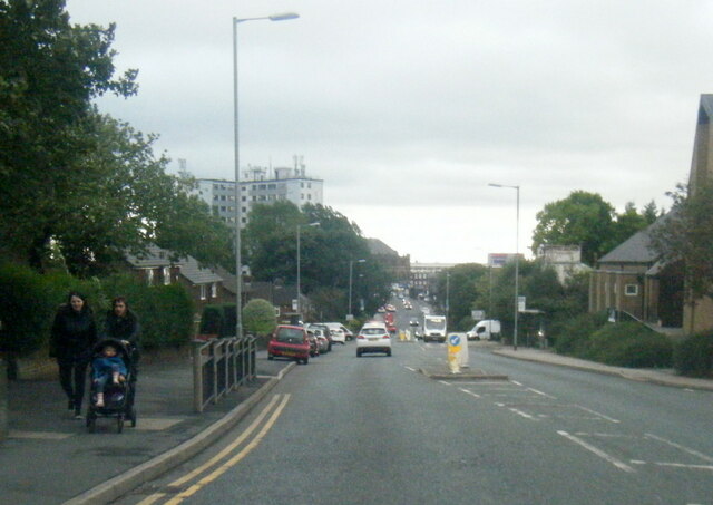
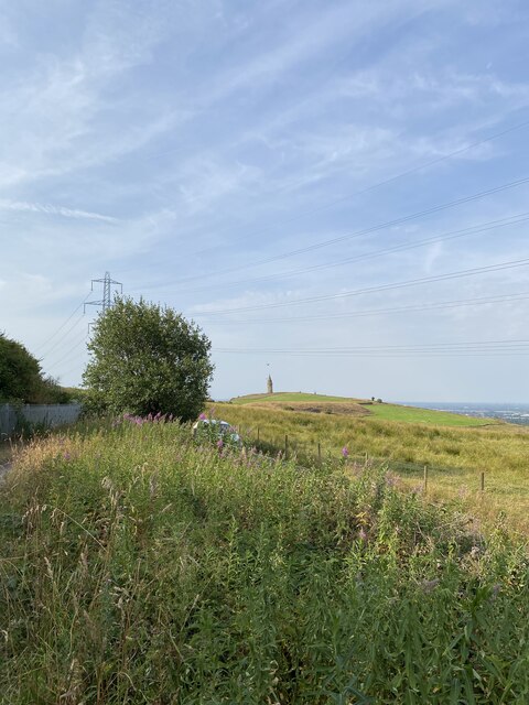
County End is a small village located in the county of Lancashire, in the northwest of England. Situated approximately 7 miles east of the town of Clitheroe, County End is nestled in the picturesque Ribble Valley. The village is surrounded by beautiful countryside, with rolling hills and lush green fields, providing a tranquil and idyllic setting.
Despite its small size, County End has a rich history, with evidence of human habitation dating back to the Neolithic period. The village is known for its traditional stone-built houses, which add to its rural charm. The local community is tight-knit and friendly, with a strong sense of community spirit.
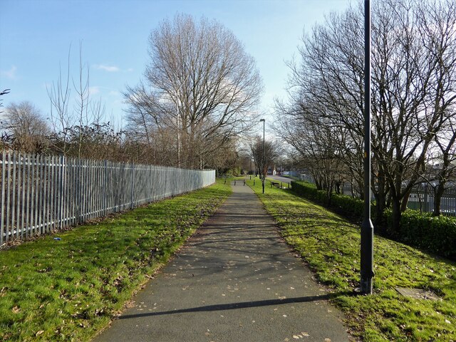
Although County End is primarily a residential area, there are a few amenities available to its residents. These include a small village shop, a local pub, and a primary school, providing essential services to the community. Additionally, the village is well-connected to nearby towns and cities through a network of roads, making it easily accessible for residents and visitors alike.
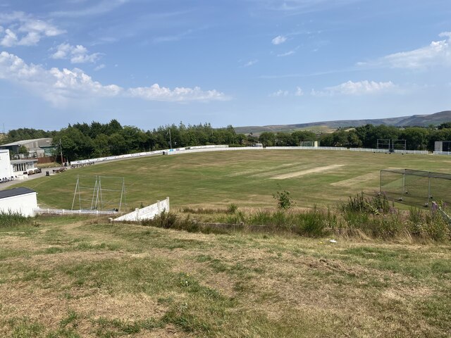
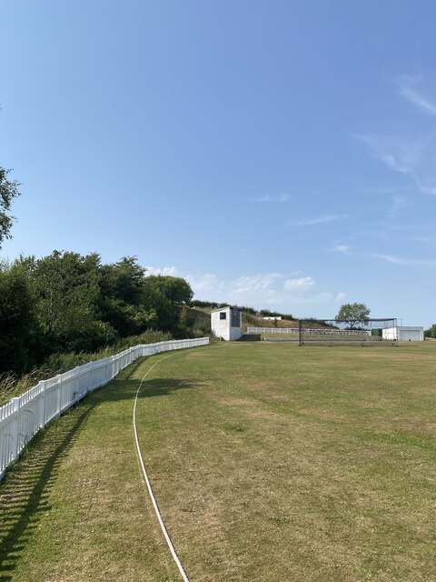
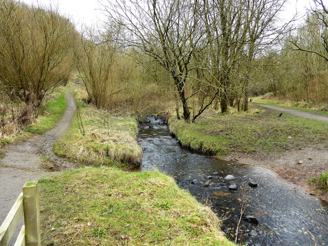
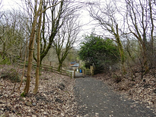
The surrounding area offers a range of recreational opportunities, including hiking and cycling trails, allowing residents to explore the stunning countryside that Lancashire has to offer. The nearby town of Clitheroe provides further amenities, including shops, restaurants, and leisure facilities.
County End is a peaceful and picturesque village, offering residents a rural lifestyle with easy access to nearby amenities. Its natural beauty and strong community make it an attractive place to live for those seeking a slower pace of life in the heart of the Lancashire countryside.
If you have any feedback on the listing, please let us know in the comments section below.
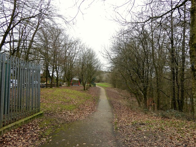
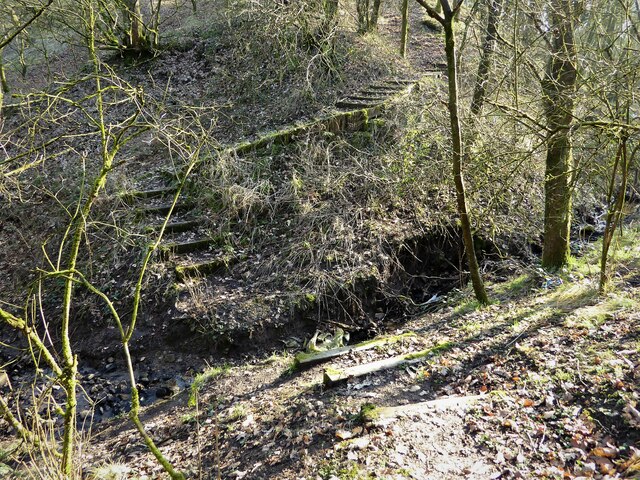
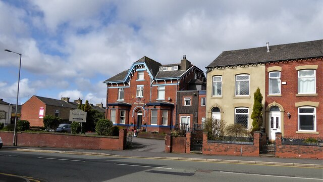
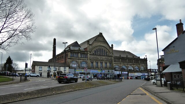
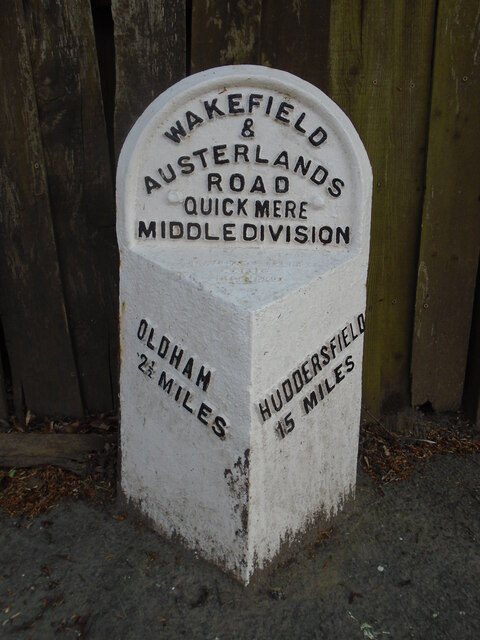
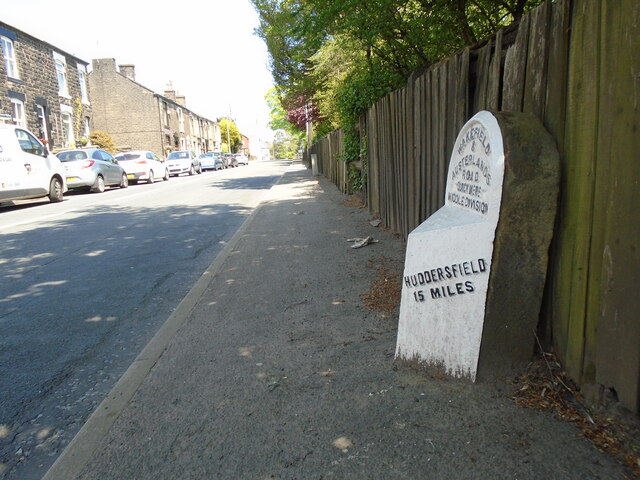
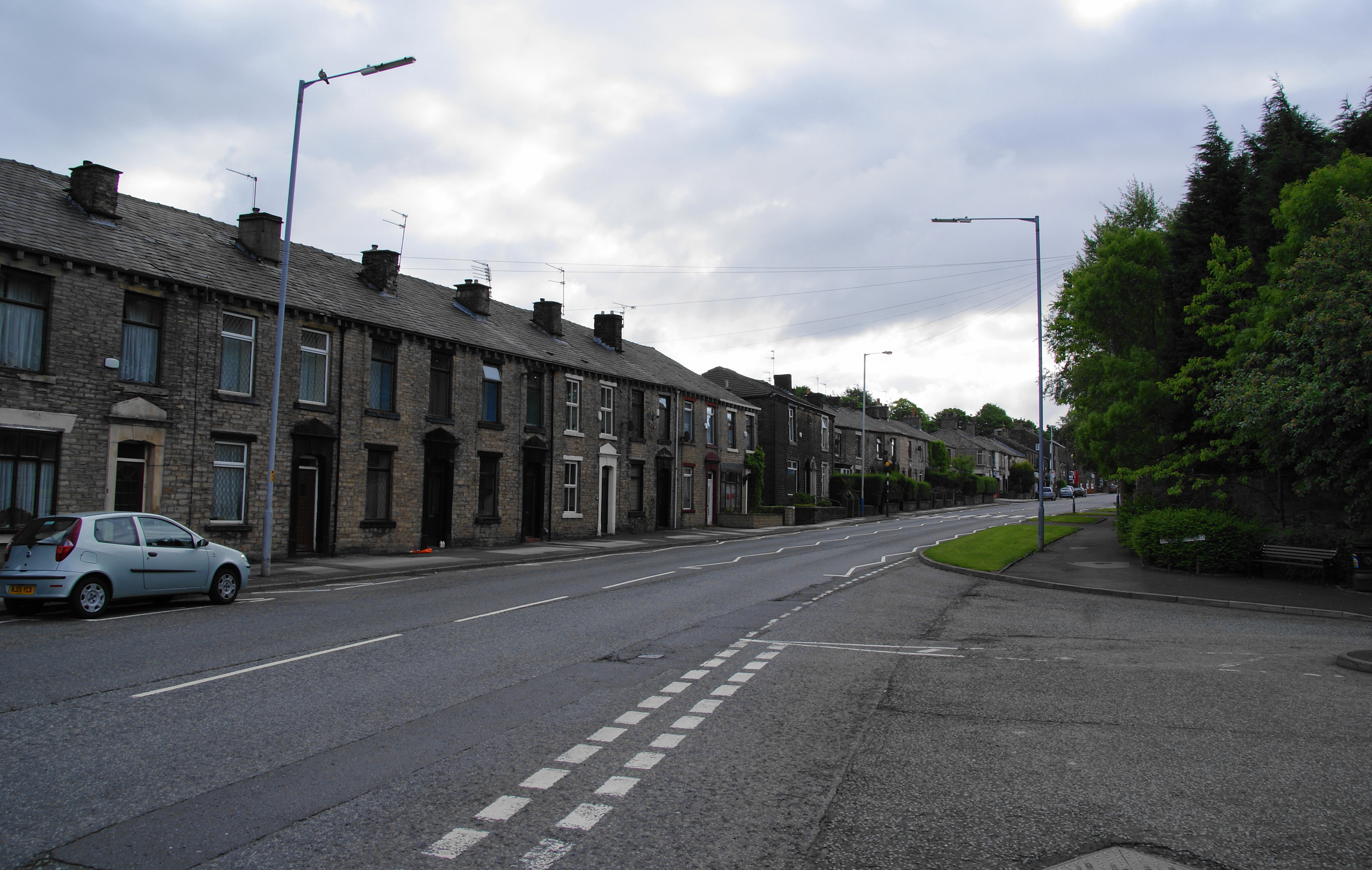
County End Images
Images are sourced within 2km of 53.537303/-2.067866 or Grid Reference SD9504. Thanks to Geograph Open Source API. All images are credited.


County End is located at Grid Ref: SD9504 (Lat: 53.537303, Lng: -2.067866)
Unitary Authority: Oldham
Police Authority: Greater Manchester
What 3 Words
///entertainer.effort.humid. Near Mossley, Manchester
Nearby Locations
Related Wikis

Lees, Greater Manchester
Lees is a village in the Metropolitan Borough of Oldham, Greater Manchester, England, amongst the Pennines east of the River Medlock, 1.8 miles (2.9 km...

Lees railway station
Lees railway station opened on 5 July 1856 at Lees, Lancashire, when the London and North Western Railway (L&NWR) opened the branch from Greenfield to...
Lees Urban District
Lees (or Lees Urban District) was from 1894 to 1974, a local government district in the administrative county of Lancashire, England. It was created an...
Springhead, Greater Manchester
Springhead is a suburban area in the civil parish of Saddleworth in the Metropolitan Borough of Oldham, in Greater Manchester, England. == Description... ==

Grotton and Springhead railway station
Grotton and Springhead railway station served the villages of Grotton and Springhead from 1856 until 1955. == History == The London and North Western Railway...
Oasis Academy Leesbrook
Oasis Academy Leesbrook is coeducational secondary school located in the Oldham in Greater Manchester, England. It is part of the Oasis Community Learning...
Breeze Hill School
Breeze Hill School was a mixed-sex comprehensive secondary school for 11- to 16-year-olds in Oldham, Greater Manchester, England. It was a specialist Humanities...
Glodwick
Glodwick is an area of Oldham, Greater Manchester, England. It is south-east of Oldham town centre. Glodwick is a multi-ethnic residential area in the...
Nearby Amenities
Located within 500m of 53.537303,-2.067866Have you been to County End?
Leave your review of County End below (or comments, questions and feedback).