Brick Kiln Plantation

Wood, Forest in Shropshire

England

Brick Kiln Plantation

Fields near High Trees Farm
Fields near High Trees Farm Credit: Alex McGregor

Brick Kiln Plantation is a picturesque woodland located in the county of Shropshire, England. Spanning over an area of approximately 50 acres, it is a part of the larger Shropshire Hills Area of Outstanding Natural Beauty. The plantation is situated in close proximity to the village of Brick Kiln, which lends its name to the area.

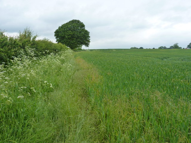
The woodland boasts a diverse range of trees and vegetation, creating a rich and vibrant ecosystem. Dominated by deciduous trees such as oak, ash, and beech, the plantation offers a stunning display of autumn colors. The forest floor is covered in a thick carpet of bluebells in the spring, creating a breathtaking sight for visitors.

Brick Kiln Plantation provides a haven for a wide variety of wildlife. Rare species of birds, including woodpeckers and nightingales, can be spotted amidst the treetops, while squirrels and rabbits scurry about on the forest floor. The plantation is also home to several species of insects, butterflies, and small mammals, making it a popular destination for nature enthusiasts and wildlife photographers.

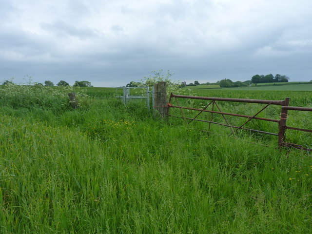
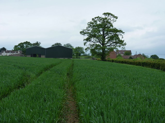
The woodland offers a network of well-maintained footpaths and trails, allowing visitors to explore the plantation at their leisure. It also provides opportunities for outdoor activities such as hiking, birdwatching, and nature walks. The tranquil and serene environment of Brick Kiln Plantation makes it an ideal spot for relaxation and connecting with nature.

Overall, Brick Kiln Plantation in Shropshire is a breathtaking woodland that offers a diverse range of flora and fauna, making it a must-visit destination for nature lovers and those seeking solace in the beauty of the natural world.

If you have any feedback on the listing, please let us know in the comments section below.

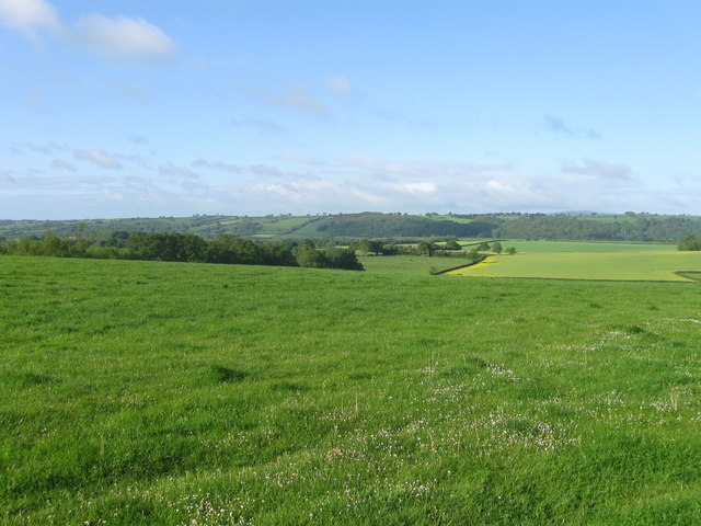
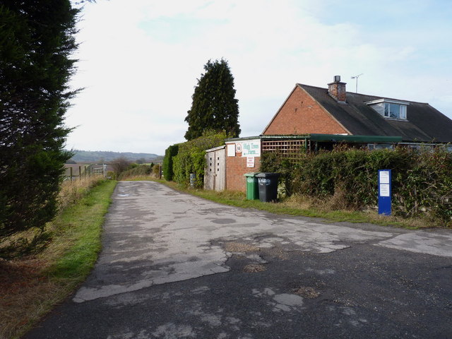
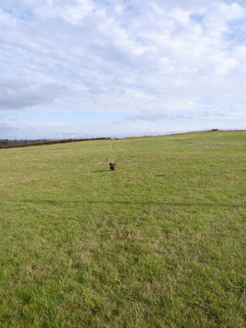
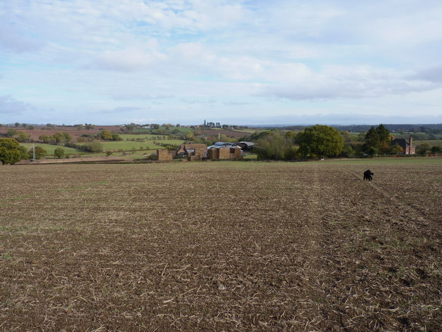
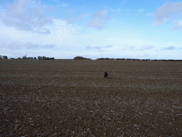
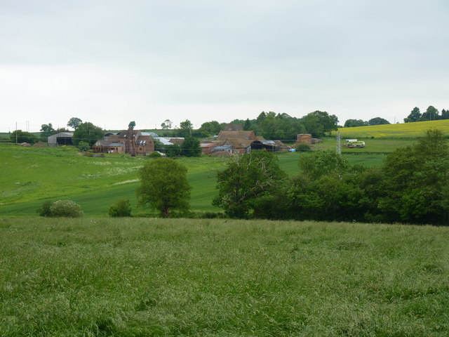
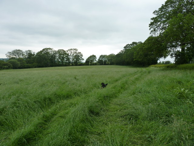
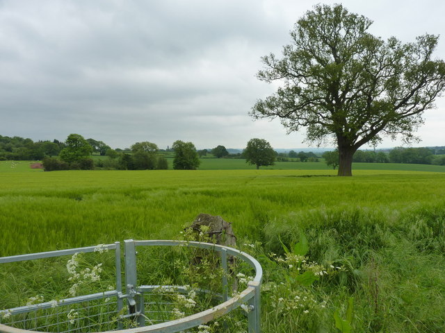
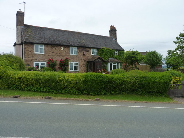
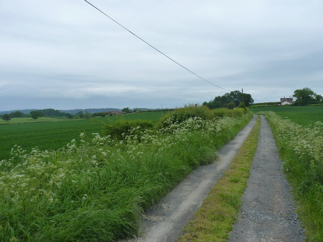
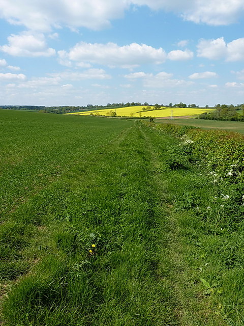
Brick Kiln Plantation Images

Images are sourced within 2km of 52.565509/-2.4401198 or Grid Reference SO7096. Thanks to Geograph Open Source API. All images are credited.

Fields near High Trees Farm
Bridleway and track to High Trees farm
Let off the lead again... No sheep in this field, just a bridleway.
Let off the lead again...
No sheep in this field, just a bridleway.
The valley and fields north of Kingsley Farm
Kingsley Farm from the west
"Yes, dad, you called?" Barkley comes charging back down the footpath in response to a whistle; there can't have been any pheasants around at that moment.
"Yes, dad, you called?"
Barkley comes charging back down the footpath in response to a whistle; there can't have been any pheasants around at that moment.
Kingsley Farm from the north east
On the footpath towards Nordley At this point, the path is a reasonably well-marked affair; this is not so true further northeast.
On the footpath towards Nordley
At this point, the path is a reasonably well-marked affair; this is not so true further northeast.
Footpath back towards Cross Lane Heads Little effort had been made to maintain this path through the crop - Daft Dog and I were forced to wade, thigh deep in my case, through the wet crop. Great fun. All the stiles and gates are in place, but the path is rarely used.
Footpath back towards Cross Lane Heads
Little effort had been made to maintain this path through the crop - Daft Dog and I were forced to wade, thigh deep in my case, through the wet crop. Great fun. All the stiles and gates are in place, but the path is rarely used.
Footpath to Nordley A rather overgrown (overplanted) path on the edge of a field near Nordley.
Footpath to Nordley
A rather overgrown (overplanted) path on the edge of a field near Nordley.
Best of luck with THIS stile... The stile's there, and quite new. What isn't so obvious in the photo is the 3-strand barbed wire fence that completely blocks it. Daft Dog went under the rickety gate, and I climbed it, as I didn't much fancy lacerating my legs.
Best of luck with THIS stile...
The stile's there, and quite new. What isn't so obvious in the photo is the 3-strand barbed wire fence that completely blocks it. Daft Dog went under the rickety gate, and I climbed it, as I didn't much fancy lacerating my legs.
Approaching Nordley On the footpath from the direction of Kingsley Farm, this is the view you get of the barns at Dairy Farm in Nordley.
Approaching Nordley
On the footpath from the direction of Kingsley Farm, this is the view you get of the barns at Dairy Farm in Nordley.
Farmyard clutter at Dairy Farm, Nordley Although the buildings visible on the other side of the road now appear to be residential-only, some signs of recent activity remain around the yard on this side of the road.
Farmyard clutter at Dairy Farm, Nordley
Although the buildings visible on the other side of the road now appear to be residential-only, some signs of recent activity remain around the yard on this side of the road.
Rosemary Cottage, Nordley
Bridleway down to the two Binnals The white-ish building on the right is Little Binnal, with the farm of Great Binnal just off to the left .
Bridleway down to the two Binnals
The white-ish building on the right is Little Binnal, with the farm of Great Binnal just off to the left .
Bridleway heading for Nordley Just a field-edge path, but apparently fairly well used by the local horse riders.
Bridleway heading for Nordley
Just a field-edge path, but apparently fairly well used by the local horse riders.
Bridleway back to Kingsley Farm
On the bridleway south of Rhodes Alders Coppice Roughly in the middle of a 3-mile offroad stretch of bridleway riding between Cross Lane Head and Linley Brook.
On the bridleway south of Rhodes Alders Coppice
Roughly in the middle of a 3-mile offroad stretch of bridleway riding between Cross Lane Head and Linley Brook.
Show me another place!

Brick Kiln Plantation is located at Grid Ref: SO7096 (Lat: 52.565509, Lng: -2.4401198)

Unitary Authority: Shropshire

Police Authority: West Mercia

What 3 Words

///mascot.palms.bookshelf. Near Bridgnorth, Shropshire

Related Wikis

Astley Abbotts

Astley Abbotts is a village and civil parish in Shropshire, England, located immediately north of Bridgnorth, and straddling the B4373 Bridgnorth to Broseley...

Stanley Hall, Shropshire

Stanley Hall, near to Astley Abbotts in Shropshire, England, is a Grade II listed building that first gained its protected status in 1970. It dates probably...

Linley Halt railway station

Linley, later Linley Halt, was a small railway station on the Severn Valley line in Shropshire, England. The station was built as a condition of constructing...

Apley Forge

Apley Forge is a village in Shropshire, England, north of the town of Bridgnorth. == External links == Media related to Apley Forge at Wikimedia Commons

Apley Hall

Apley Hall is an English Gothic Revival house located in the parish of Stockton near Bridgnorth, Shropshire. The building was completed in 1811 with adjoining...

Severn Way

The Severn Way is a waymarked long-distance footpath in the United Kingdom, which follows the course of the River Severn through Mid Wales and western...

Tasley, Shropshire

Tasley is a village and civil parish in Shropshire, England.It is located to the immediate west of the town of Bridgnorth, and the A458 road passes through...

St Leonard's Church, Linley

St Leonard's Church is in the hamlet of Linley, Shropshire, England. It is a redundant church under the care of the Churches Conservation Trust. When...

Nearby Amenities

Located within 500m of 52.565509,-2.4401198
Power: pole
Lat/Long: 52.568853/-2.4441978
Power: pole
Lat/Long: 52.5689296/-2.4430364
Power: pole
Lat/Long: 52.5690176/-2.4414566
Power: pole
Lat/Long: 52.5691741/-2.4390024
Power: pole
Lat/Long: 52.5692899/-2.4372563
Barrier: kissing_gate
Foot: designated
Lat/Long: 52.5685126/-2.43849
Barrier: cattle_grid
Lat/Long: 52.564819/-2.4394942
Barrier: kissing_gate
Foot: designated
Lat/Long: 52.5615915/-2.4413116
The data included in this document is from www.openstreetmap.org. The data is made available under ODbL.

Have you been to Brick Kiln Plantation?

Leave your review of Brick Kiln Plantation below (or comments, questions and feedback).