Long Wood

Wood, Forest in Cheshire

England

Long Wood

Parkfields, Buerton Parkfields Farm, Buerton - public footpath through a very muddy field east of the farm just before the Buerton / Hunsterson parish boundary. Typical Cheshire dairy farm.
Parkfields, Buerton Credit: Mike Harris

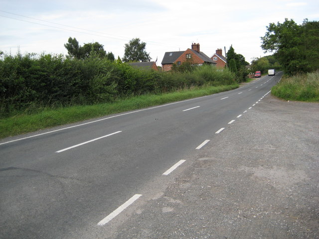
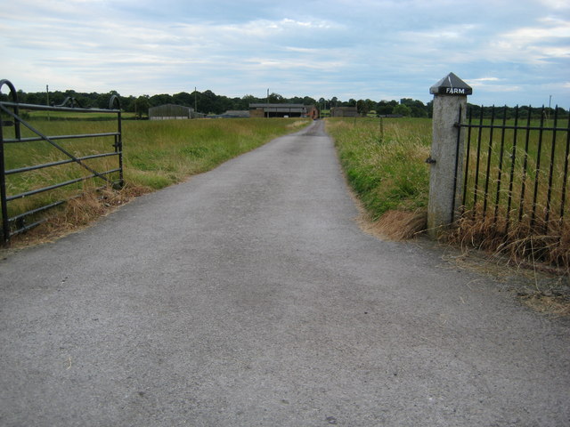
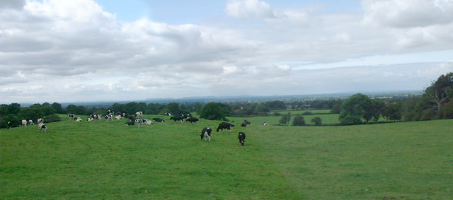
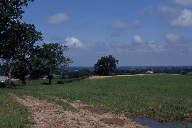
Long Wood is a picturesque forest located in Cheshire, England. Covering an area of approximately 100 hectares, it is considered one of the largest and most diverse woodlands in the region. The wood is situated near the village of Long and is easily accessible from the surrounding areas.

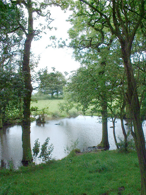
The woodland is predominantly composed of broadleaf trees, including oak, beech, birch, and ash, creating a rich and varied landscape. This diversity provides a suitable habitat for a wide range of wildlife, including various species of birds, mammals, and insects. The forest floor is adorned with an array of wildflowers, adding to its scenic beauty.

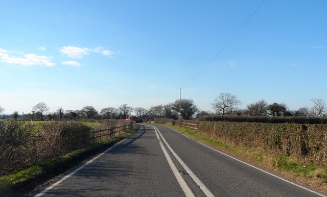
Long Wood offers numerous walking trails and paths, allowing visitors to explore its natural wonders. The paths are well-maintained, making the woodland accessible to people of all ages and physical abilities. Additionally, there are designated picnic areas and benches scattered throughout the forest, providing a tranquil setting for visitors to relax and enjoy the peaceful surroundings.

The wood is managed by a team of conservationists and volunteers who actively work to maintain the biodiversity and protect the natural habitat. They conduct regular surveys to monitor the wildlife population and undertake necessary measures to preserve the wood's ecological balance.

Overall, Long Wood is a cherished natural gem in Cheshire, offering a haven of tranquility and a chance to connect with nature. Its diverse flora and fauna, combined with its well-maintained trails, make it a popular destination for nature enthusiasts and families seeking a day out in the beautiful Cheshire countryside.

If you have any feedback on the listing, please let us know in the comments section below.
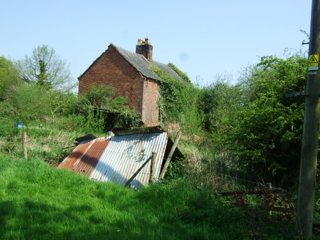
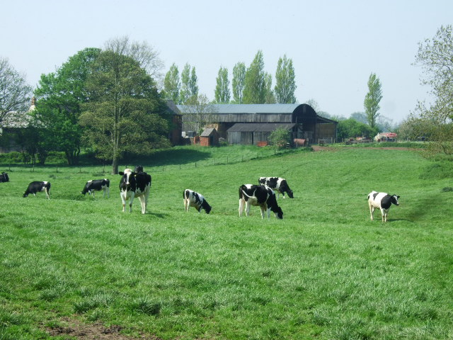
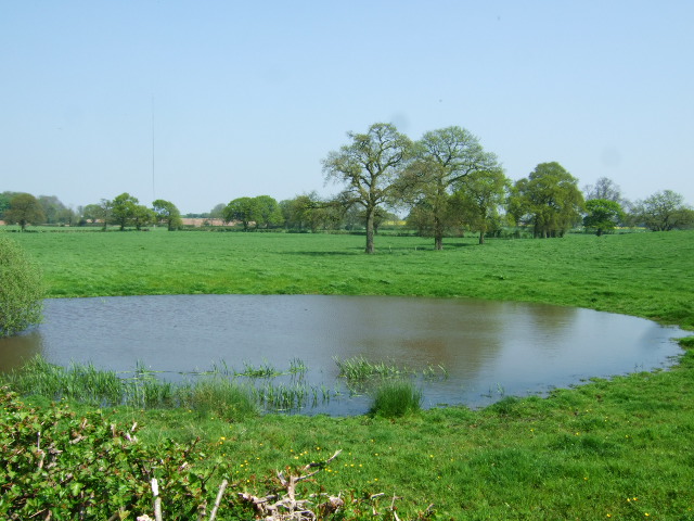
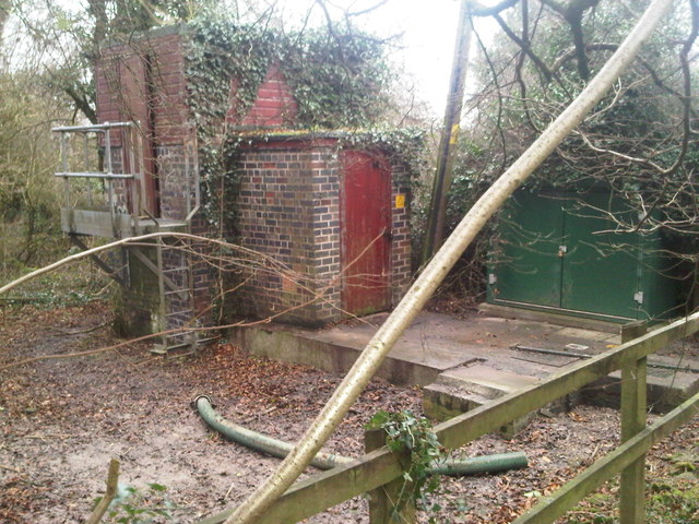
Long Wood Images

Images are sourced within 2km of 52.974036/-2.4463611 or Grid Reference SJ7041. Thanks to Geograph Open Source API. All images are credited.

Parkfields, Buerton Parkfields Farm, Buerton - public footpath through a very muddy field east of the farm just before the Buerton / Hunsterson parish boundary. Typical Cheshire dairy farm.
Parkfields, Buerton
Parkfields Farm, Buerton - public footpath through a very muddy field east of the farm just before the Buerton / Hunsterson parish boundary. Typical Cheshire dairy farm.
Rural homes alongside the A525 Looking East towards Woore
Rural homes alongside the A525
Looking East towards Woore
Fields Farm drive Farm drive seen from the main road
Fields Farm drive
Farm drive seen from the main road
Cheshire landscape View over Cheshire but taken in Shropshire (just) Welsh hills in distance.
Cheshire landscape
View over Cheshire but taken in Shropshire (just) Welsh hills in distance.
Pond Pond in wood
Pond
Pond in wood
Abandoned cottage This cottage near the end of the track has long since been abandoned.
Abandoned cottage
This cottage near the end of the track has long since been abandoned.
Cattle grazing Cattle grazing at Bellaport Old Hall farm.
Cattle grazing
Cattle grazing at Bellaport Old Hall farm.
Mere and farmland Another of the many meres dug for salt.
Mere and farmland
Another of the many meres dug for salt.
Drive to College Fields
Farm pond This small pond surrounded by trees is probably a former marl pit where at some time a pocket of good soil - clay with a high carbonate of lime component - has been dug out and spread on surrounding land as a fertiliser.
Farm pond
This small pond surrounded by trees is probably a former marl pit where at some time a pocket of good soil - clay with a high carbonate of lime component - has been dug out and spread on surrounding land as a fertiliser.
The Grove Farm This is a mixed farm, growing crops and raising dairy cattle (also visible)
The Grove Farm
This is a mixed farm, growing crops and raising dairy cattle (also visible)
Footpath on track This track is marked as a footpath on the OS map. Grove Farm is off to the right.
Footpath on track
This track is marked as a footpath on the OS map. Grove Farm is off to the right.
Dewpond near Grove Farm This artificial pond acts as a haven for plant and animal life, including the large hawthorn (Crataegus monogyna) in flower here.
Dewpond near Grove Farm
This artificial pond acts as a haven for plant and animal life, including the large hawthorn (Crataegus monogyna) in flower here.
Pumping  Station
Pumping Station
View over the Cheshire Plain, from the rising land to the south As Cheshire gives way to Shropshire and Staffordshire, the land rises out of the Cheshire Plain to more rolling countryside (something symbolised in this part of the county by the 15 Audlem locks that carry the canal off the plain and into Shropshire).  This view is taken off Woodhouse Lane, which runs over the little hills between Audlem and Norton-in-Hales - to the left are buildings at Holly Farm, whilst to the right, down the hill, is Hankins Heys.  The structure on the horizon is the radio telescope at Jodrell Bank, visible quite distinctly on a clear day from up here.
View over the Cheshire Plain, from the rising land to the south
As Cheshire gives way to Shropshire and Staffordshire, the land rises out of the Cheshire Plain to more rolling countryside (something symbolised in this part of the county by the 15 Audlem locks that carry the canal off the plain and into Shropshire). This view is taken off Woodhouse Lane, which runs over the little hills between Audlem and Norton-in-Hales - to the left are buildings at Holly Farm, whilst to the right, down the hill, is Hankins Heys. The structure on the horizon is the radio telescope at Jodrell Bank, visible quite distinctly on a clear day from up here.
Telecoms Mast at Sandyford Farm
Entering Cheshire at Sandyford Bridge
Woore Road near South View Farm
Show me another place!

Long Wood is located at Grid Ref: SJ7041 (Lat: 52.974036, Lng: -2.4463611)

Unitary Authority: Cheshire East

Police Authority: Cheshire

What 3 Words

///code.prices.functions. Near Audlem, Cheshire

Nearby Locations

Long Wood

Related Wikis

Dorrington Lane

Dorrington Lane is a hamlet near the village of Woore in northeast Shropshire, England. There are around 12 former council houses and two larger houses...

Buerton, Cheshire East

Buerton is a village at SJ685435 and civil parish in the unitary authority of Cheshire East and the ceremonial county of Cheshire, England, about 7 miles...

Highfields, Buerton

Highfields is a small country house in the civil parish of Buerton, Cheshire, England. It is recorded in the National Heritage List for England as a designated...

Norton-in-Hales railway station

Norton-in-Hales railway station was a station on the North Staffordshire Railway between Stoke-on-Trent and Market Drayton. The station was opened in 1870...

Woore

Woore is a village and civil parish in the north east of Shropshire, England, of about 3,950 acres (1,600 hectares). It had a population of 1,004 in the...

Bearstone

Bearstone is a hamlet in Shropshire, England. For population details as taken at the 2011 census see Woore (Shropshire).

Moblake

Moblake is a hamlet in Cheshire, England. It is situated on Longhill Lane, approximately 2 miles (3.2 km) east of the village of Audlem, just inside the...

Norton in Hales

Norton in Hales is a village and parish in Shropshire, England. It lies on the A53 between the town of Market Drayton and Woore, Shropshire's most northeasterly...

Have you been to Long Wood?

Leave your review of Long Wood below (or comments, questions and feedback).