Leonard's Wood
Wood, Forest in Cheshire
England
Leonard's Wood
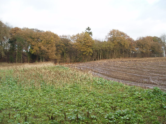
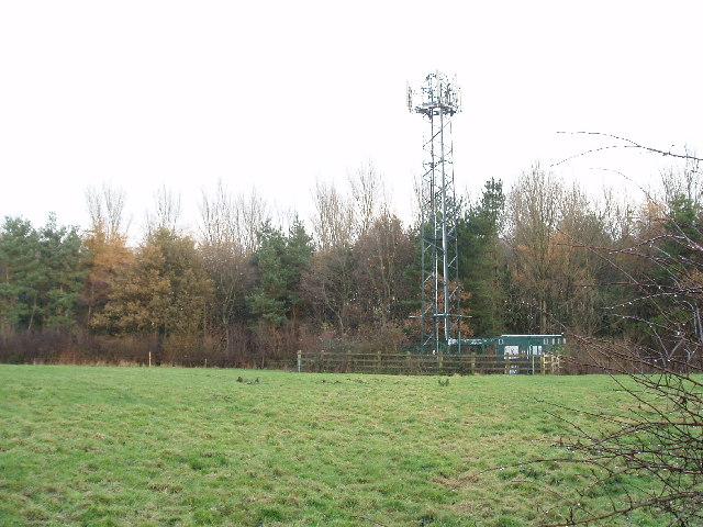
Leonard's Wood, located in the county of Cheshire, England, is a picturesque forested area known for its natural beauty and diverse wildlife. Covering an approximate area of 100 acres, this wood is a popular destination for nature enthusiasts and outdoor adventurers.
The wood is predominantly composed of deciduous trees, with a variety of species including oak, beech, and birch, creating a vibrant and ever-changing landscape throughout the seasons. The dense canopy provides a habitat for a wide range of wildlife, including birds, mammals, and insects.
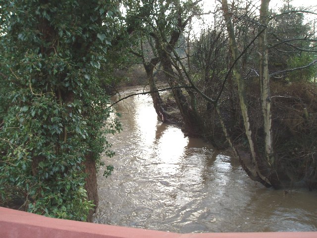
Tranquil walking trails wind through Leonard's Wood, offering visitors the opportunity to explore the natural wonders of the area. The paths lead through lush greenery, past babbling brooks, and alongside small ponds, enhancing the serene ambiance of the woodland.
Nature lovers can spot a plethora of bird species within the wood, such as woodpeckers, owls, and songbirds, making it an ideal spot for birdwatching. Additionally, squirrels, rabbits, and even the occasional deer can be spotted amidst the trees, adding to the charm and allure of the wood.
Leonard's Wood is not only a haven for wildlife but also a place of relaxation and recreation for visitors. It offers areas for picnicking and has designated spaces for camping and barbecues. These amenities make it a popular destination for families and friends looking to spend quality time in nature.
In summary, Leonard's Wood in Cheshire is a captivating forested area that showcases the natural beauty of the region. With its diverse wildlife, scenic trails, and recreational facilities, it is a cherished location for both locals and tourists seeking tranquility and a connection with nature.
If you have any feedback on the listing, please let us know in the comments section below.
Leonard's Wood Images
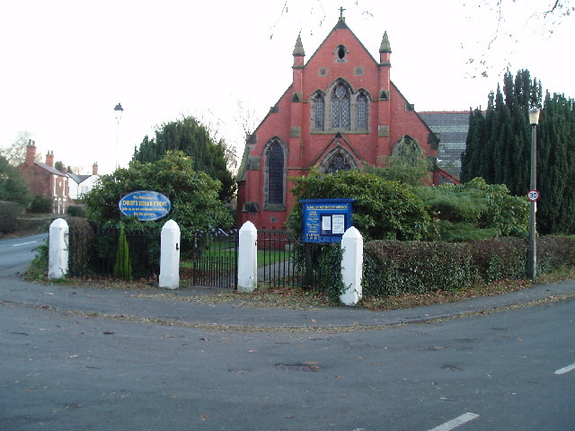
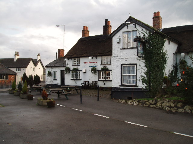
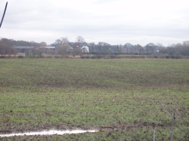
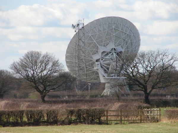
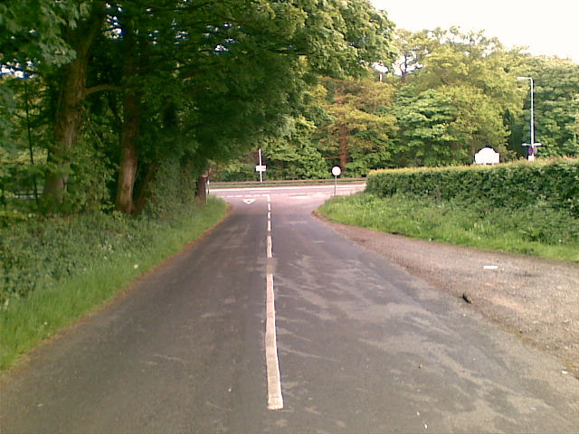
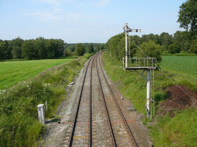
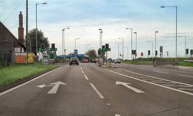
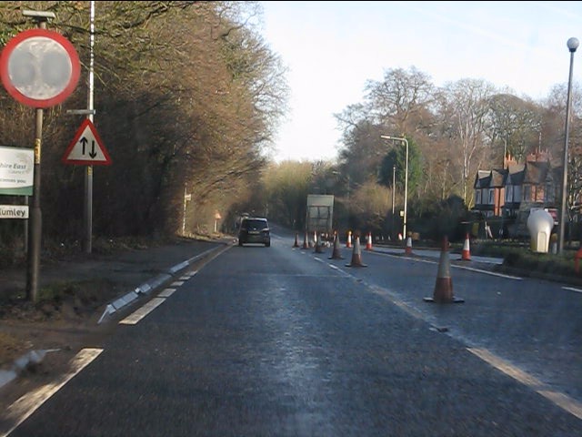
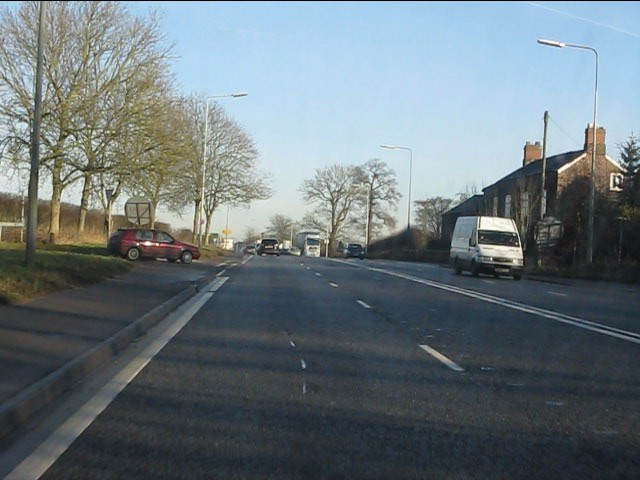
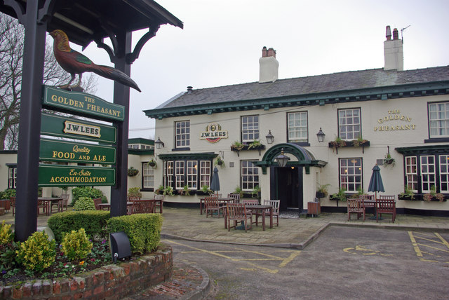
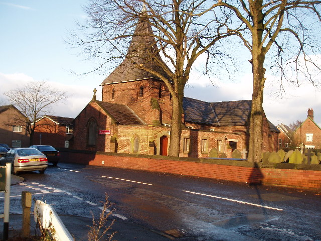
Images are sourced within 2km of 53.283706/-2.4516682 or Grid Reference SJ6976. Thanks to Geograph Open Source API. All images are credited.
Leonard's Wood is located at Grid Ref: SJ6976 (Lat: 53.283706, Lng: -2.4516682)
Unitary Authority: Cheshire East
Police Authority: Cheshire
What 3 Words
///skippers.imparting.souk. Near Marston, Cheshire
Nearby Locations
Related Wikis

Pickmere
Pickmere is a village and civil parish near Knutsford in the Borough of Cheshire East. It has a population of 541 (2001 Census). Landmarks in and around...

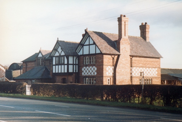
Holford Hall
Holford Hall is a country house west of the village of Plumley, Cheshire, England. It consists of a fragment of a much larger timber-framed house, built...

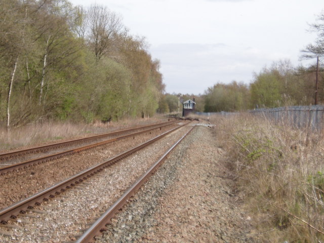
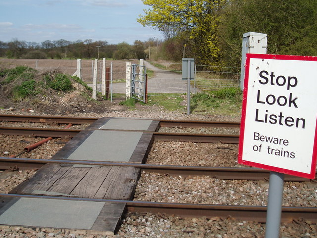
Lostock Gralam railway station
Lostock Gralam railway station serves the village of Lostock Gralam in Cheshire, England. The station is on the Mid-Cheshire Line from Chester to Manchester...
Plumley
Plumley is a village and civil parish in Cheshire, England, with a population of 643 at the 2011 census.There are two public houses, The Golden Pheasant...
Lostock Gralam
Lostock Gralam ( GRAY-ləm) is a village and civil parish in Cheshire, England, east of Northwich. The civil parish also includes the small hamlet of Lostock...

Aston by Budworth
Aston by Budworth is a civil parish in the unitary authority of Cheshire East and the ceremonial county of Cheshire, England. The main villages in the...
Tabley Inferior
Tabley Inferior is a civil parish in the Borough of Cheshire East and ceremonial county of Cheshire in England. It has a population of 137. Tabley House...

Cuckooland Museum
The Cuckooland Museum, previously known as the Cuckoo Clock Museum, is a museum that exhibits mainly cuckoo clocks, located in Tabley, Cheshire, England...
Nearby Amenities
Located within 500m of 53.283706,-2.4516682Have you been to Leonard's Wood?
Leave your review of Leonard's Wood below (or comments, questions and feedback).