Bennet's Covert

Wood, Forest in Cheshire

England

Bennet's Covert

Whitley Lane bridge - northbound M6
Whitley Lane bridge - northbound M6 Credit: Dave Thompson

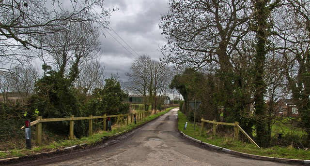
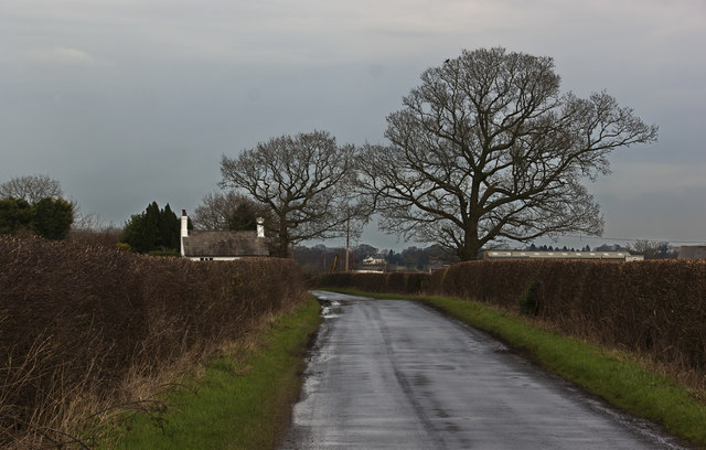
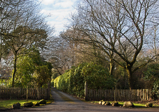
Bennet's Covert is an enchanting woodland located in Cheshire, England. Situated in the heart of the county, this forested area boasts a rich history and offers a tranquil haven for nature enthusiasts and explorers alike.

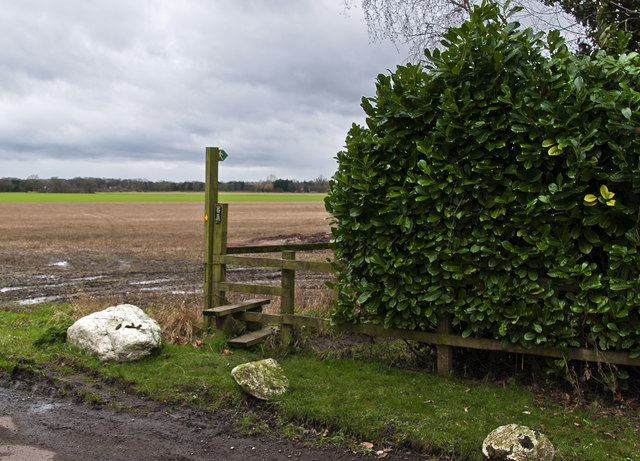
Covering an expansive area, Bennet's Covert is characterized by its dense canopy of towering trees, predominantly comprised of oak, beech, and birch. The forest floor is adorned with a vibrant carpet of ferns, moss, and wildflowers, creating a picturesque and serene environment.

The woodland is home to a diverse range of wildlife, making it a haven for nature lovers. Various species of birds, including woodpeckers and owls, can be spotted flitting through the treetops, while small mammals like squirrels and rabbits scurry across the forest floor. The occasional glimpse of deer grazing in the distance adds to the area's natural allure.

Trails wind through the forest, offering visitors the opportunity to immerse themselves in the beauty of the surroundings. These paths cater to all levels of fitness, from leisurely strolls to more challenging hikes, and provide a chance to discover hidden gems within the woodland.

Bennet's Covert is also steeped in history, with remnants of ancient settlements and burial sites scattered throughout the area. Archaeological discoveries suggest that the woodland has been inhabited for centuries, adding a sense of intrigue and wonder to the overall experience.

Overall, Bennet's Covert in Cheshire is a captivating and peaceful woodland, offering a sanctuary for both nature enthusiasts and those seeking a respite from the hustle and bustle of everyday life.

If you have any feedback on the listing, please let us know in the comments section below.

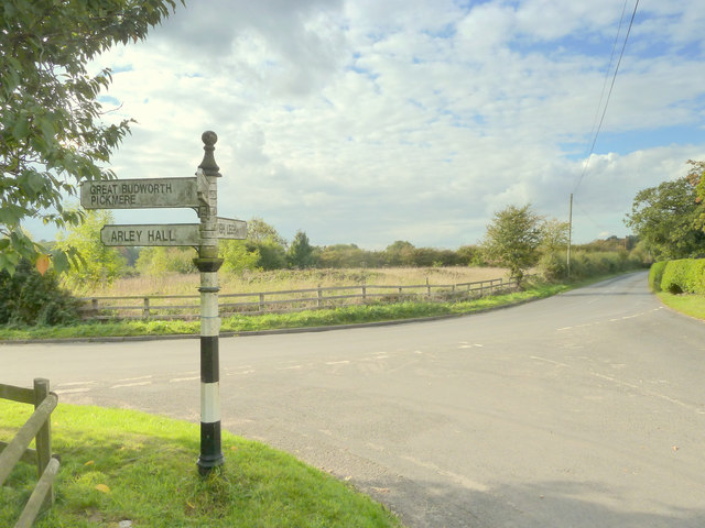
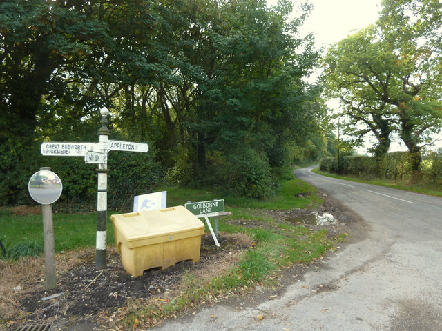
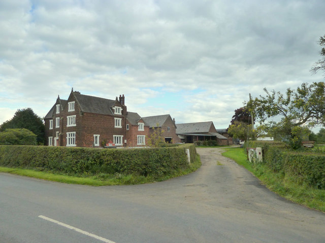
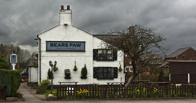
Bennet's Covert Images

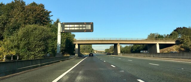
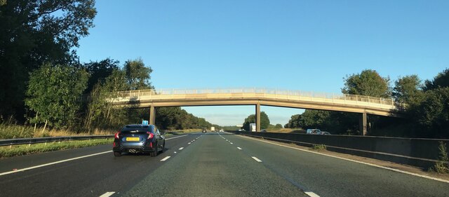
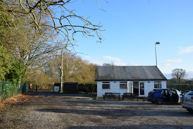
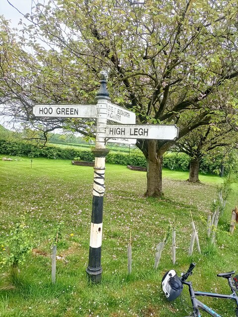
Images are sourced within 2km of 53.341788/-2.4526425 or Grid Reference SJ6982. Thanks to Geograph Open Source API. All images are credited.

Whitley Lane bridge - northbound M6
Footbridge - northbound M6
High Legh Tennis Club  Car park and clubhouse. The club's three courts are to the right of this shot.
High Legh Tennis Club
Car park and clubhouse. The club's three courts are to the right of this shot.
Direction Sign – Signpost on Rowley Bank Lane, High Legh parish Located on the southeast side of the T junction of Rowley Bank Lane and Whitley Lane in High Legh parish. 4 arms and pawn finial. See also <a title="https://www.geograph.org.uk/photo/6037395" href="https://www.geograph.org.uk/photo/6037395">Link</a> and <a title="https://www.geograph.org.uk/photo/4692742" href="https://www.geograph.org.uk/photo/4692742">Link</a>.

Milestone Society National ID: CH_SJ6982A
Direction Sign – Signpost on Rowley Bank Lane, High Legh parish
Located on the southeast side of the T junction of Rowley Bank Lane and Whitley Lane in High Legh parish. 4 arms and pawn finial. See also Link and Link. Milestone Society National ID: CH_SJ6982A
Whitley Lane crosses the M6 Heading north on the M6.
Whitley Lane crosses the M6
Heading north on the M6.
A footbridge over the M6 Heading north on the M6.
A footbridge over the M6
Heading north on the M6.
A footbridge over the M6
Junction of Rowley Bank Lane and Whitley Lane, High Legh
Finger post directions at junction of Whitley Lane and Rowley Bank Lane, High Legh
Golborne Lane, High Legh
Northwood Hall Farm, Whitley Lane
The Bears Paw Inn Michelin may have a bit of a start, but on the strength of one lunch here I’m tempted to start my own Good Food Guide.
The Bears Paw Inn
Michelin may have a bit of a start, but on the strength of one lunch here I’m tempted to start my own Good Food Guide.
Golbourne Lane
Golbourne Lane
Footpath off Moss Lane to Sink Moss
Crabtree Lane
Crabtree Lane
The entrance to High Legh House
Old Direction Sign - Signpost by Rowley Bank Lane, High Legh parish Finial - Cheshire CCC octagonal in parish of High Legh (Macclesfield District), Rowley Bank Lane junction with Whitley Lane. See also <a title="https://www.geograph.org.uk/photo/" href="https://www.geograph.org.uk/photo/">Link</a> 7168906 and <a title="https://www.geograph.org.uk/photo/4692742" href="https://www.geograph.org.uk/photo/4692742">Link</a>.

To be surveyed

Milestone Society National ID: CH_SJ6982A.
Old Direction Sign - Signpost by Rowley Bank Lane, High Legh parish
Finial - Cheshire CCC octagonal in parish of High Legh (Macclesfield District), Rowley Bank Lane junction with Whitley Lane. See also Link 7168906 and Link. To be surveyed Milestone Society National ID: CH_SJ6982A.
Old Direction Sign - Signpost by Rowley Bank Lane, Knutsford parish Pawn finial - 3 arms; Round column, in parish of Knutsford (Macclesfield District), Rowley Bank Lane junction with Golborne Lane.

To be surveyed

Milestone Society National ID: CH_SJ6982B
Old Direction Sign - Signpost by Rowley Bank Lane, Knutsford parish
Pawn finial - 3 arms; Round column, in parish of Knutsford (Macclesfield District), Rowley Bank Lane junction with Golborne Lane. To be surveyed Milestone Society National ID: CH_SJ6982B
Show me another place!

Bennet's Covert is located at Grid Ref: SJ6982 (Lat: 53.341788, Lng: -2.4526425)

Unitary Authority: Cheshire East

Police Authority: Cheshire

What 3 Words

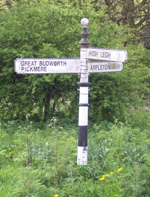
///risks.soggy.importers. Near High Legh, Cheshire

Related Wikis

Bucklow Hundred

The hundred of Bucklow was an ancient division of the historic county of Cheshire, in northern England. It was known to have been in existence at least...

St Mary's Chapel, High Legh

St Mary's Chapel is a former Anglican parish church in the village of High Legh, Cheshire, England. It is recorded in the National Heritage List for England...

High Legh

High Legh is a village, civil and ecclesiastical parish in the unitary authority of Cheshire East and the ceremonial county of Cheshire, England. It is...

St John's Church, High Legh

St John's Church is an active Anglican parish church in the village of High Legh, Cheshire, England. It is in the deanery of Knutsford, the archdeaconry...

Broomedge

Broomedge is a village in Cheshire, England.

Swineyard Hall

Swineyard Hall is a moated country house in the parish of High Legh, Cheshire, England. It was built in the 16th century, with additions made in the 19th...

Mere Old Hall

Mere Old Hall is a 17th-century country house which stands to the west of the village of Mere and the junction of the A566 and A50 roads in Cheshire, England...

Arthill

Arthill is a village in Cheshire, England. == References ==

Nearby Amenities

Located within 500m of 53.341788,-2.4526425
The data included in this document is from www.openstreetmap.org. The data is made available under ODbL.

Have you been to Bennet's Covert?

Leave your review of Bennet's Covert below (or comments, questions and feedback).