Whitefield Covert
Wood, Forest in Cheshire
England
Whitefield Covert
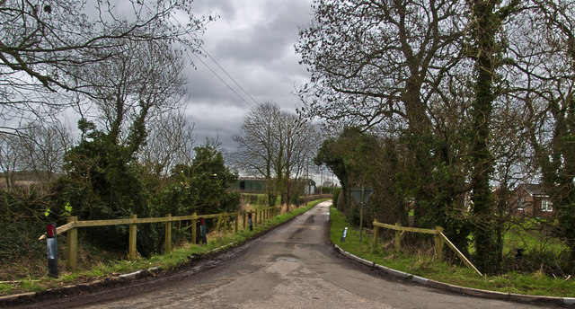
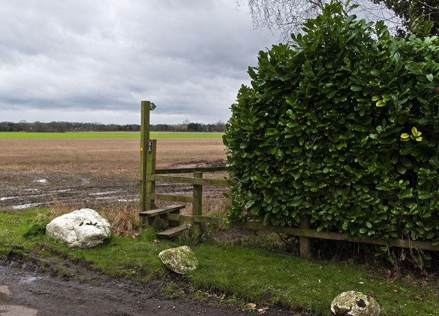
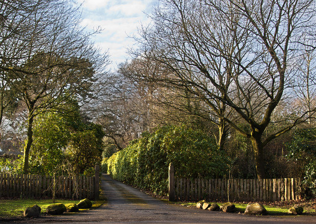
Whitefield Covert is a charming woodland area located in Cheshire, England. Spanning approximately 20 acres, it is nestled within the picturesque countryside, offering visitors a tranquil and immersive nature experience. The covert is well-known for its dense and diverse collection of trees, making it a popular destination for nature enthusiasts, hikers, and birdwatchers alike.
The woodland boasts a rich variety of tree species, including oak, beech, birch, and ash, which provide a vibrant tapestry of colors throughout the seasons. The forest floor is adorned with an array of wildflowers, ferns, and mosses, adding to the area's natural beauty. Visitors can explore the network of well-maintained footpaths that wind through the covert, allowing them to discover its hidden nooks and crannies.
The woods are home to a diverse range of wildlife, making it an ideal spot for animal lovers. Bird species such as woodpeckers, owls, and thrushes can be spotted throughout the year, while squirrels and rabbits can often be seen scurrying among the trees. Occasionally, lucky visitors may even catch a glimpse of a deer or a fox.
Whitefield Covert offers a peaceful retreat from the hustle and bustle of everyday life. Its serene atmosphere and stunning natural surroundings make it a perfect place for a leisurely stroll, a family picnic, or simply a moment of quiet contemplation. Whether you are a nature enthusiast or someone seeking solace in the beauty of Cheshire's countryside, a visit to Whitefield Covert is sure to leave you rejuvenated and inspired.
If you have any feedback on the listing, please let us know in the comments section below.
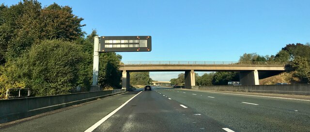
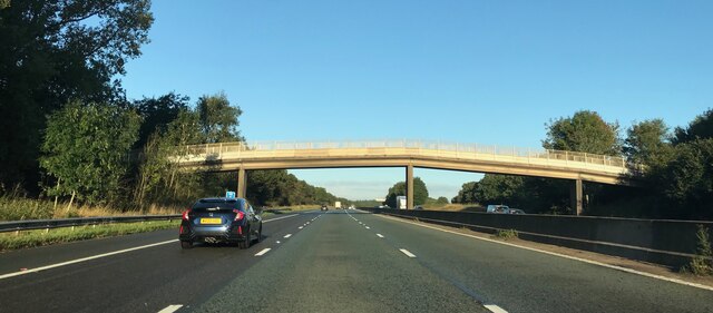
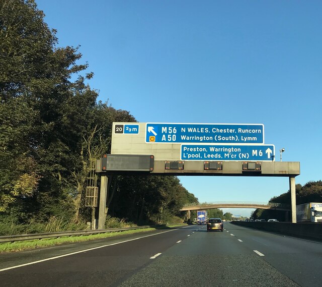
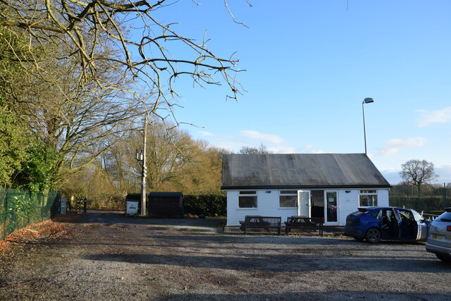
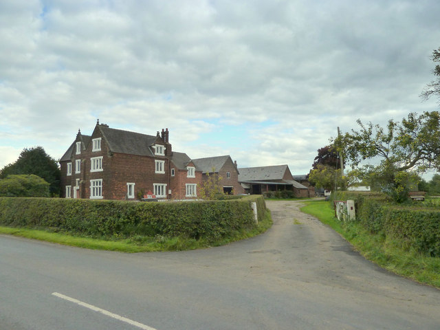
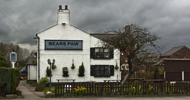
Whitefield Covert Images
Images are sourced within 2km of 53.340171/-2.4595491 or Grid Reference SJ6982. Thanks to Geograph Open Source API. All images are credited.
Whitefield Covert is located at Grid Ref: SJ6982 (Lat: 53.340171, Lng: -2.4595491)
Unitary Authority: Cheshire East
Police Authority: Cheshire
What 3 Words
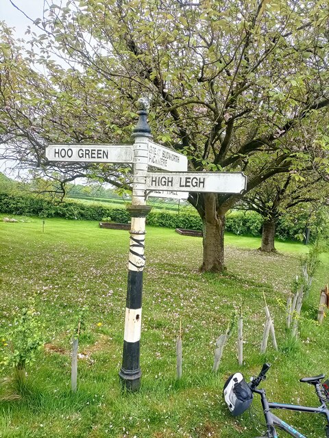
///spun.stews.newspaper. Near High Legh, Cheshire
Nearby Locations
Related Wikis

Bucklow Hundred
The hundred of Bucklow was an ancient division of the historic county of Cheshire, in northern England. It was known to have been in existence at least...

St Mary's Chapel, High Legh
St Mary's Chapel is a former Anglican parish church in the village of High Legh, Cheshire, England. It is recorded in the National Heritage List for England...

High Legh
High Legh is a village, civil and ecclesiastical parish in the unitary authority of Cheshire East and the ceremonial county of Cheshire, England. It is...

St John's Church, High Legh
St John's Church is an active Anglican parish church in the village of High Legh, Cheshire, England. It is in the deanery of Knutsford, the archdeaconry...

Swineyard Hall
Swineyard Hall is a moated country house in the parish of High Legh, Cheshire, England. It was built in the 16th century, with additions made in the 19th...

Broomedge
Broomedge is a village in Cheshire, England.

St Mary's Chapel, Arley
St Mary's Chapel is the private chapel to Arley Hall, near the village of Arley, Cheshire, England. It is recorded in the National Heritage List for England...

Arley Hall
Arley Hall is a country house in the village of Arley, Cheshire, England, about 4 miles (6 km) south of Lymm and 5 miles (8 km) north of Northwich. It...
Nearby Amenities
Located within 500m of 53.340171,-2.4595491Have you been to Whitefield Covert?
Leave your review of Whitefield Covert below (or comments, questions and feedback).