Bobby's Brake
Wood, Forest in Gloucestershire
England
Bobby's Brake

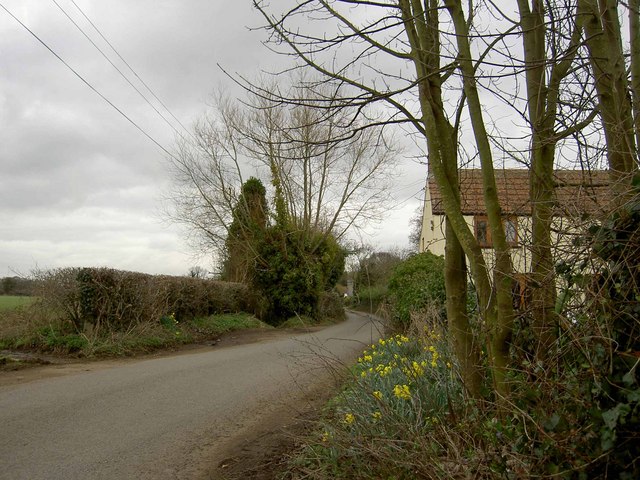
Bobby's Brake is a picturesque woodland area located in Gloucestershire, England. Nestled within the heart of the Forest of Dean, this stunning natural beauty spot offers visitors a tranquil escape from the hustle and bustle of everyday life.
Covering approximately 100 acres, Bobby's Brake boasts a diverse range of tree species, including towering oak, beech, and ash trees. The woodland floor is adorned with a carpet of vibrant wildflowers, creating a colorful and enchanting landscape throughout the year. The area is home to an array of wildlife, with sightings of deer, squirrels, and a myriad of bird species being common.
The woodland features several well-maintained walking trails, allowing visitors to explore the beauty of Bobby's Brake at their own pace. These paths wind through the forest, offering breathtaking views and opportunities for nature photography. Along the way, benches and picnic areas are strategically placed, providing visitors with the perfect spot to rest and soak in the serenity of the surroundings.
For those with a sense of adventure, Bobby's Brake also offers opportunities for cycling and horseback riding, with designated trails catering to these activities. The forest is well-equipped with parking facilities and amenities, ensuring a convenient and comfortable experience for all visitors.
Bobby's Brake is a popular destination for nature lovers, families, and outdoor enthusiasts alike. Its accessibility, coupled with its natural beauty, make it an ideal location for a peaceful retreat or an enjoyable day out in the heart of Gloucestershire's woodlands.
If you have any feedback on the listing, please let us know in the comments section below.
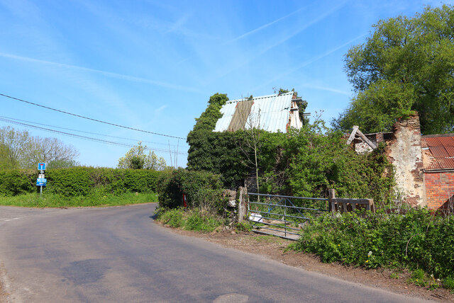
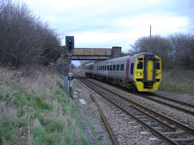
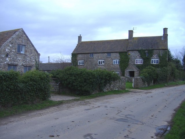
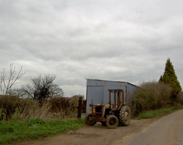
Bobby's Brake Images
Images are sourced within 2km of 51.574341/-2.4360887 or Grid Reference ST6986. Thanks to Geograph Open Source API. All images are credited.


Bobby's Brake is located at Grid Ref: ST6986 (Lat: 51.574341, Lng: -2.4360887)
Unitary Authority: South Gloucestershire
Police Authority: Avon and Somerset
What 3 Words
///producing.totals.newspaper. Near Wickwar, Gloucestershire
Nearby Locations
Related Wikis

Rangeworthy
Rangeworthy is a semi-rural farming village in South Gloucestershire, England, nearby communities include Falfield and Charfield. The village population...

Bagstone
Bagstone is a village in South Gloucestershire, England. Bagstone is on the B4058 between Rangeworthy and Cromhall. == References == == External links... ==

Brimsham Green School
Brimsham Green School is a comprehensive secondary school in Yate, South Gloucestershire, England. Situated toward the northern edge of Yate and serving...
Engine Common
Engine Common is a village in the civil parish of Iron Acton in South Gloucestershire, England. It lies about 1 mile north west of Yate. == References... ==
Nearby Amenities
Located within 500m of 51.574341,-2.4360887Have you been to Bobby's Brake?
Leave your review of Bobby's Brake below (or comments, questions and feedback).