Plumley Wood
Wood, Forest in Dorset
England
Plumley Wood
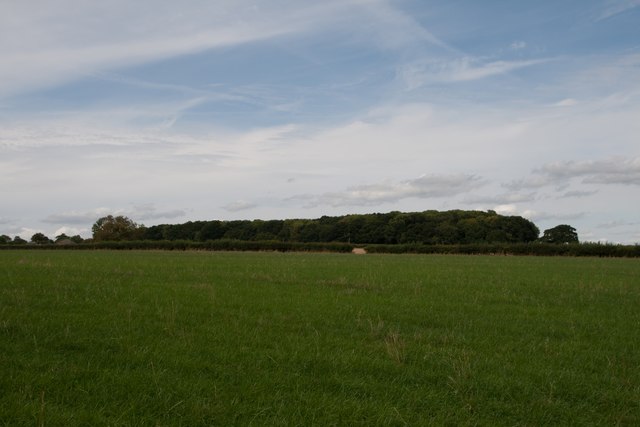
Plumley Wood, located in the county of Dorset, is a serene and picturesque woodland area that enchants visitors with its natural beauty and tranquility. Situated near the village of Lytchett Matravers, this woodland covers an expansive area, providing a peaceful escape for nature enthusiasts and outdoor adventurers alike.
Plumley Wood is predominantly composed of oak and beech trees, with their intertwined branches forming a dense canopy that filters the sunlight, casting enchanting shadows on the forest floor. The woodland is also home to a variety of other tree species, including ash, hazel, and holly, creating a rich and diverse ecosystem.
The forest floor is adorned with a vibrant carpet of wildflowers during the spring and summer months, adding a splash of color to the already picturesque landscape. Bluebells, primroses, and wood anemones are just a few of the flora that bloom in Plumley Wood, attracting a myriad of butterflies, bees, and other pollinators.
Visitors to Plumley Wood can explore the network of footpaths and walking trails that meander through the woodland, offering a chance to immerse oneself in nature and enjoy the peaceful ambiance. The gentle rustling of leaves and the melodious songs of birds provide a soothing soundtrack to the woodland experience.
For those interested in wildlife, Plumley Wood is home to a diverse array of fauna. Deer, foxes, badgers, and a multitude of bird species can be spotted within the woodland, making it a popular destination for wildlife enthusiasts and birdwatchers.
Overall, Plumley Wood in Dorset is a treasure trove of natural beauty, offering a tranquil escape from the hustle and bustle of daily life. With its diverse flora and fauna, it provides an idyllic setting for outdoor exploration and a delightful retreat for nature lovers.
If you have any feedback on the listing, please let us know in the comments section below.
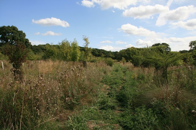
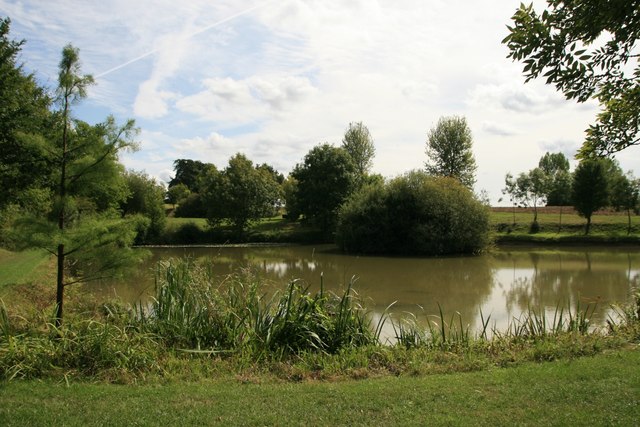
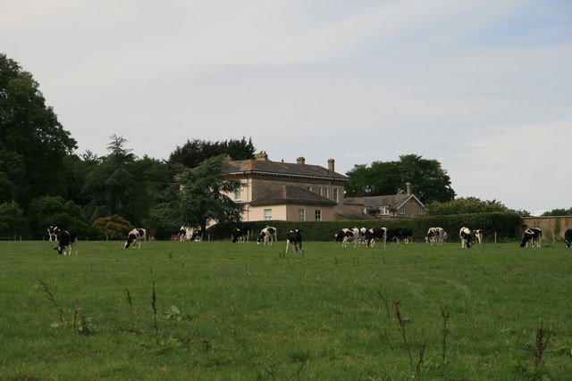
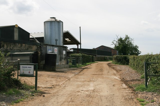
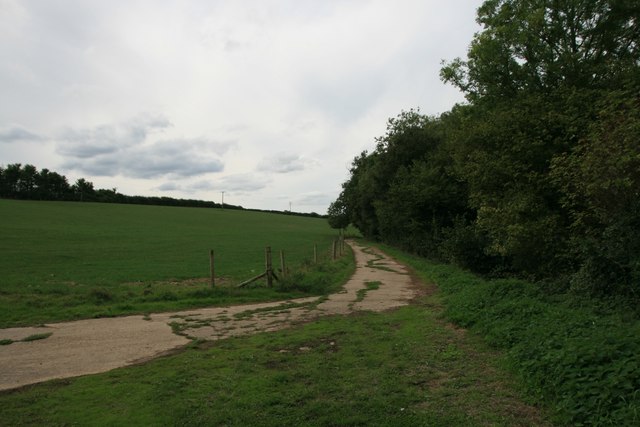
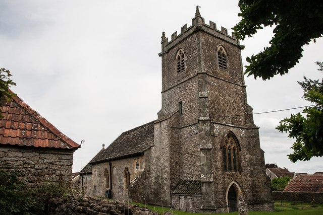
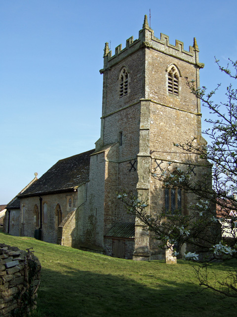
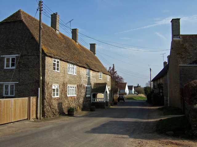
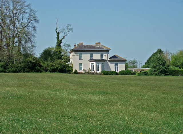
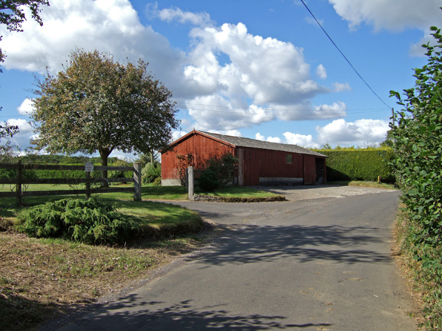
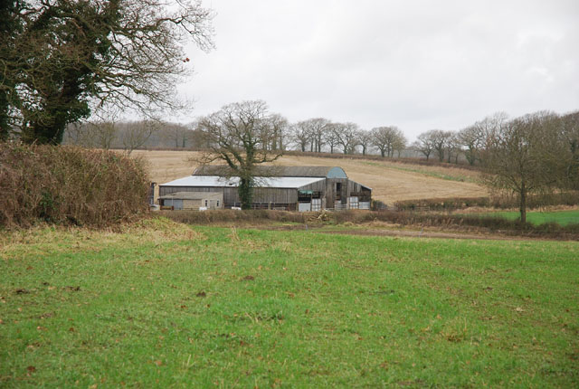
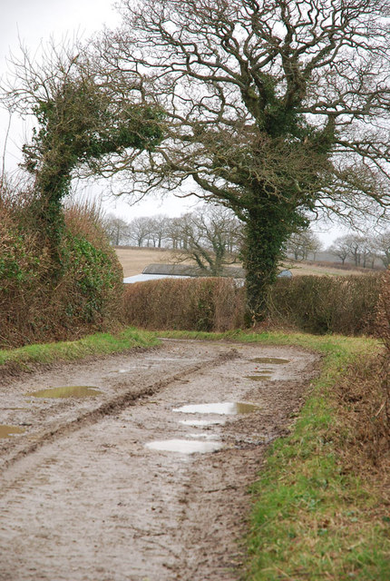
Plumley Wood Images
Images are sourced within 2km of 50.941868/-2.4316221 or Grid Reference ST6915. Thanks to Geograph Open Source API. All images are credited.


Plumley Wood is located at Grid Ref: ST6915 (Lat: 50.941868, Lng: -2.4316221)
Unitary Authority: Dorset
Police Authority: Dorset
What 3 Words
///arranger.poorly.swinging. Near Milborne Port, Somerset
Nearby Locations
Related Wikis

Purse Caundle
Purse Caundle is a village and civil parish in the county of Dorset in southwest England. It lies within the Dorset Council administrative area, about...
Stourton Caundle
Stourton Caundle is a village and civil parish in the county of Dorset in southwest England. It lies within the Blackmore Vale, about five miles (eight...

Goathill
Goathill is a village and civil parish in the county of Dorset in England, situated in northern Dorset, a couple of miles east of the town of Sherborne...

Haydon, Dorset
Haydon is a village and civil parish 16 miles (26 km) north of Dorchester, in the Dorset district, in the county of Dorset, England. In 2001 the parish...
Nearby Amenities
Located within 500m of 50.941868,-2.4316221Have you been to Plumley Wood?
Leave your review of Plumley Wood below (or comments, questions and feedback).