Dudley Wood

Wood, Forest in Gloucestershire

England

Dudley Wood

The Arches, Westerleigh Located close to the twin main-line railway bridges, south of Yate.
The Arches, Westerleigh Credit: Roger Cornfoot

Dudley Wood is a small village located in the county of Gloucestershire, England. Situated within the Forest of Dean, it is known for its picturesque surroundings and tranquil atmosphere. The village is nestled amidst lush greenery, with dense woodlands stretching for miles in every direction.

Dudley Wood offers a peaceful and idyllic living environment, attracting residents who seek a quiet and close-to-nature lifestyle. The village is known for its charming cottages that blend seamlessly into the surrounding landscape, giving it a timeless appeal. The local community is close-knit and friendly, with a strong sense of pride in their village.

The Forest of Dean, which surrounds Dudley Wood, is a haven for nature enthusiasts and outdoor adventurers. There are numerous walking and cycling trails that wind through the ancient woodlands, offering breathtaking views of the countryside. The forest is also home to a variety of wildlife, including deer, boars, and a wide range of bird species.

Despite its rural location, Dudley Wood is not far from amenities and services. The nearby town of Coleford provides residents with access to shops, schools, and healthcare facilities. Additionally, the village is well-connected to the rest of Gloucestershire and beyond via a network of roads and public transportation.

In summary, Dudley Wood is a charming village located in the heart of the Forest of Dean. With its natural beauty and peaceful atmosphere, it offers residents a serene escape from the hustle and bustle of modern life.

If you have any feedback on the listing, please let us know in the comments section below.
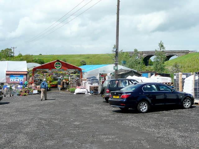
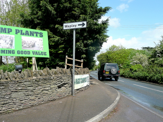
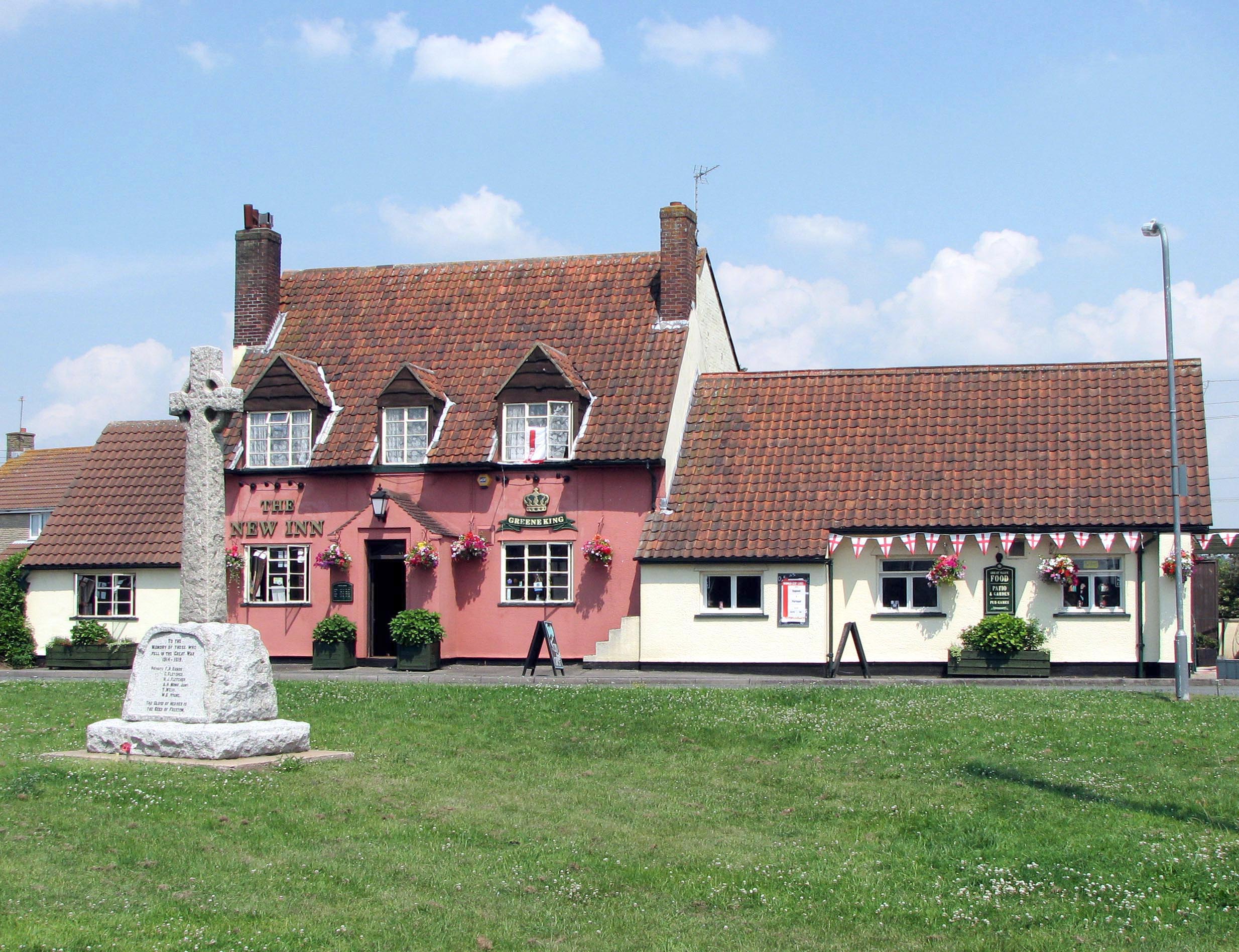
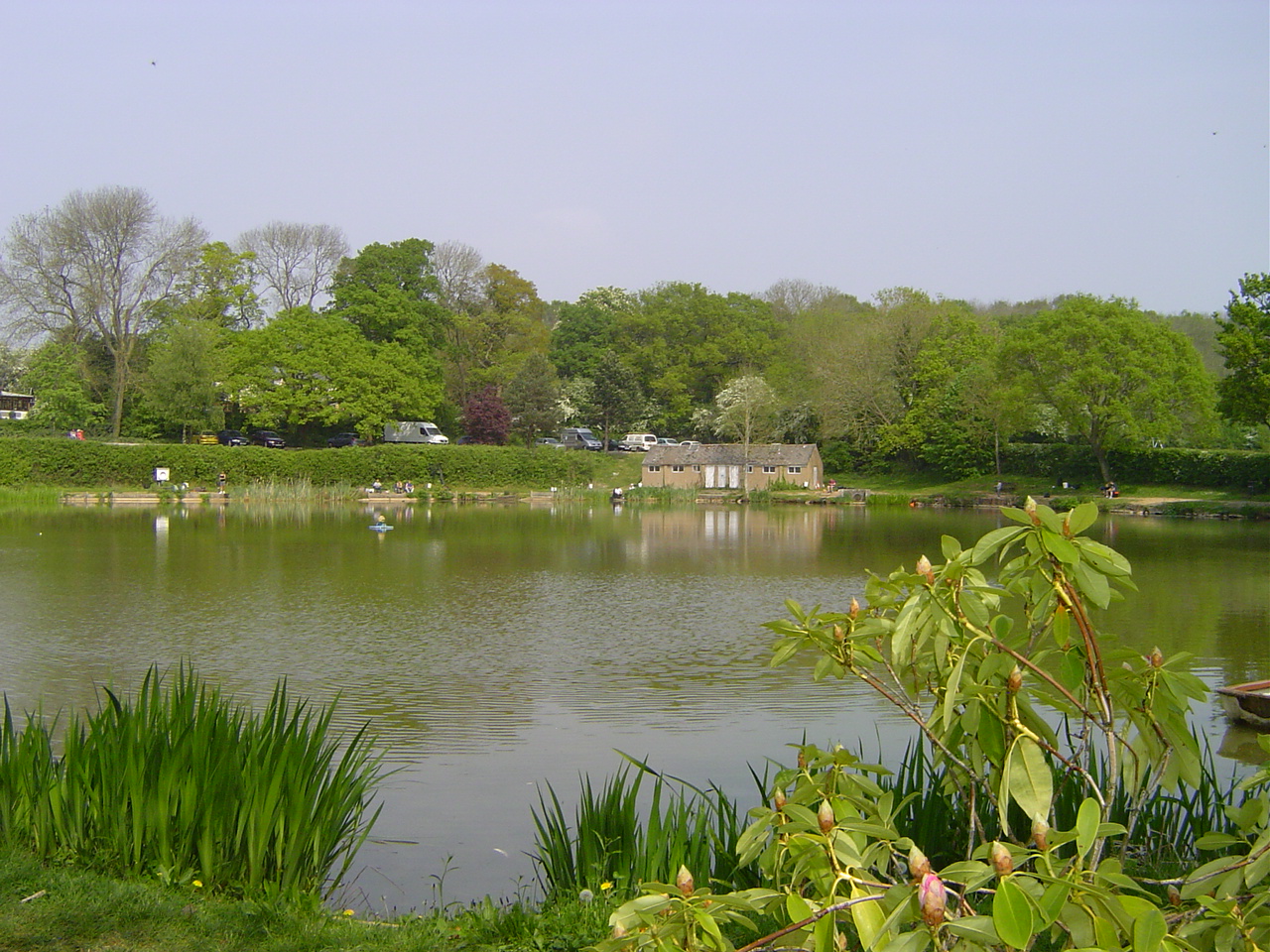
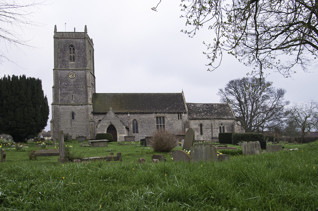
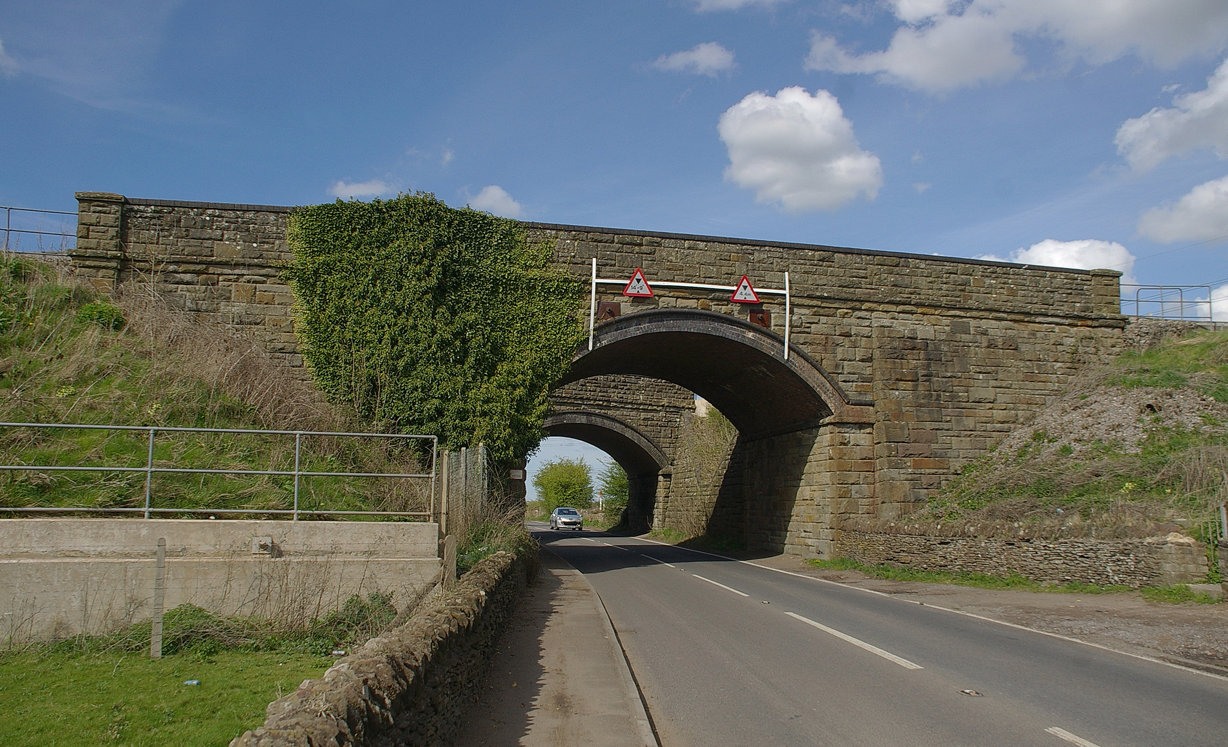
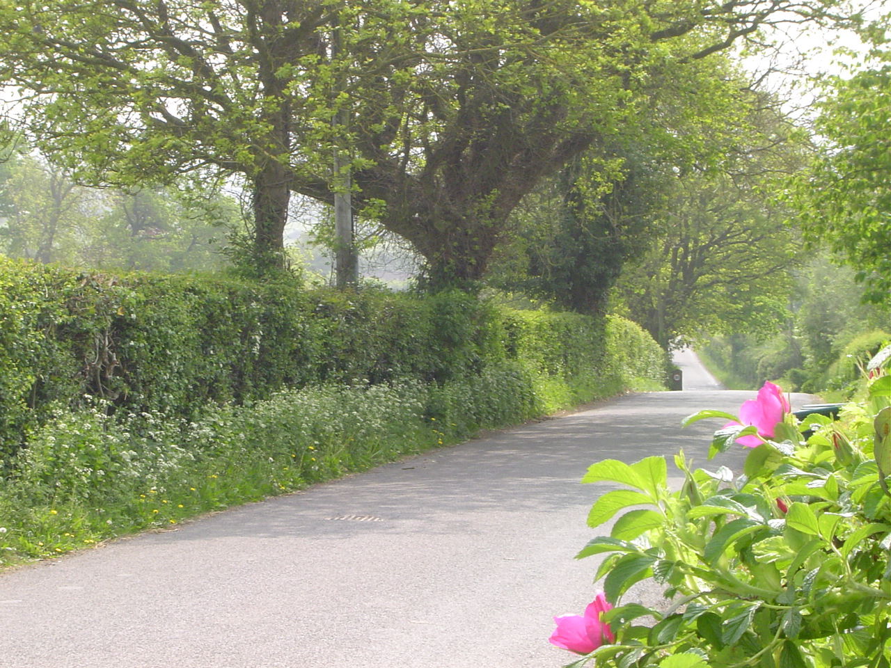
Dudley Wood Images

Images are sourced within 2km of 51.503179/-2.4417335 or Grid Reference ST6978. Thanks to Geograph Open Source API. All images are credited.

The Arches, Westerleigh Located close to the twin main-line railway bridges, south of Yate.
The Arches, Westerleigh
Located close to the twin main-line railway bridges, south of Yate.
Power lines by the M4
Kemps Nurseries, Westerleigh A real nursery that grows most of what it sells.
The railway line in the background is the London to South Wales.
Kemps Nurseries, Westerleigh
A real nursery that grows most of what it sells. The railway line in the background is the London to South Wales.
Westerleigh Road Looking north towards Yate at the entrance to Kemps Nurseries.
Westerleigh Road
Looking north towards Yate at the entrance to Kemps Nurseries.
2011 : Minor road heading east near Westerleigh Up Westerleigh Hill, Westerleigh Hill Farm is in sight.
Part of a good route east out of Bristol if you are fed up with mad motorways and awful A roads.
Codrington is just under 2 miles along then on to Tormarton.
2011 : Minor road heading east near Westerleigh
Up Westerleigh Hill, Westerleigh Hill Farm is in sight. Part of a good route east out of Bristol if you are fed up with mad motorways and awful A roads. Codrington is just under 2 miles along then on to Tormarton.
B4465 road junction Westerleigh Hill
Curvy or cosy? A stylish, if not terribly practical, seat in Pucklechurch recreation ground. The community centre is behind.
Curvy or cosy?
A stylish, if not terribly practical, seat in Pucklechurch recreation ground. The community centre is behind.
Recreation playground Some of the attractions for the children at the corner of 'The Rec'. See <a href="https://www.geograph.org.uk/photo/3323421">ST7076 : A new slide!</a> for a couple more.
Recreation playground
Some of the attractions for the children at the corner of 'The Rec'. See ST7076 : A new slide! for a couple more.
A new slide! The stainless steel slide in the background appears to be a very recent addition to the playground, but the treadmill is older. Indeed, perhaps the latter is for the benefit of residents of the Y.O.I. at the other end of the village. See <a href="https://www.geograph.org.uk/photo/3323418">ST7076 : Recreation playground</a> for more.
A new slide!
The stainless steel slide in the background appears to be a very recent addition to the playground, but the treadmill is older. Indeed, perhaps the latter is for the benefit of residents of the Y.O.I. at the other end of the village. See ST7076 : Recreation playground for more.
The Star Situated with a good view of the recreation ground.

It is thought that a royal hunting lodge or fortification (burh) was located near here as part of the ancient royal forest of Kingswood. Some of its stonework is believed to have been reused in the construction of The Star, which could be sixteenth century in date. But the story of the burh is rather darker.

Pucklechurch has its place in the history of English monarchy: on May 26th 946AD  (St Augustine's Day) Edmund I, perhaps the first king to lay claim to being the ruler of all England, was murdered by an exiled robber by the name of Leofa.
The Star
Situated with a good view of the recreation ground. It is thought that a royal hunting lodge or fortification (burh) was located near here as part of the ancient royal forest of Kingswood. Some of its stonework is believed to have been reused in the construction of The Star, which could be sixteenth century in date. But the story of the burh is rather darker. Pucklechurch has its place in the history of English monarchy: on May 26th 946AD (St Augustine's Day) Edmund I, perhaps the first king to lay claim to being the ruler of all England, was murdered by an exiled robber by the name of Leofa.
M4, Westerleigh Rd Overbridge The M4 is 190 miles long and runs from London to South Wales. Major centres close to the motorway include Reading, Swindon, Bristol, Newport, Cardiff and Swansea. The motorway was constructed between 1961 and 1996. The M4 originally crossed the first Severn Road Bridge. It has now been diverted to use the Second Severn Crossing and the motorway over the older bridge has been renumbered as M48.
Wikipedia: <span class="nowrap"><a title="http://en.wikipedia.org/wiki/M4_motorway" rel="nofollow ugc noopener" href="http://en.wikipedia.org/wiki/M4_motorway">Link</a><img style="margin-left:2px;" alt="External link" title="External link - shift click to open in new window" src="https://s1.geograph.org.uk/img/external.png" width="10" height="10"/></span>
M4, Westerleigh Rd Overbridge
The M4 is 190 miles long and runs from London to South Wales. Major centres close to the motorway include Reading, Swindon, Bristol, Newport, Cardiff and Swansea. The motorway was constructed between 1961 and 1996. The M4 originally crossed the first Severn Road Bridge. It has now been diverted to use the Second Severn Crossing and the motorway over the older bridge has been renumbered as M48. Wikipedia: LinkExternal link
Leigh Lane heading West beside the crematorium
A busy day at Westerleigh crematorium
Road to nowhere, now a peaceful footpath I'm guessing that the proximity of the M4 motorway was the cause of the closure of this old road.
Road to nowhere, now a peaceful footpath
I'm guessing that the proximity of the M4 motorway was the cause of the closure of this old road.
Westerleigh Road Overbridge, M4 The M4 is 190 miles long and runs from London to South Wales. Major centres close to the motorway include Reading, Swindon, Bristol, Newport, Cardiff and Swansea. The motorway was constructed between 1961 and 1996. The M4 originally crossed the first Severn Road Bridge. It has now been diverted to use the Second Severn Crossing and the motorway over the older bridge has been renumbered as M48.
Wikipedia: <span class="nowrap"><a title="http://en.wikipedia.org/wiki/M4_motorway" rel="nofollow ugc noopener" href="http://en.wikipedia.org/wiki/M4_motorway">Link</a><img style="margin-left:2px;" alt="External link" title="External link - shift click to open in new window" src="https://s1.geograph.org.uk/img/external.png" width="10" height="10"/></span>
Westerleigh Road Overbridge, M4
The M4 is 190 miles long and runs from London to South Wales. Major centres close to the motorway include Reading, Swindon, Bristol, Newport, Cardiff and Swansea. The motorway was constructed between 1961 and 1996. The M4 originally crossed the first Severn Road Bridge. It has now been diverted to use the Second Severn Crossing and the motorway over the older bridge has been renumbered as M48. Wikipedia: LinkExternal link
M4 Motorway, Westerleigh Road Bridge The M4 is 190 miles long and runs from London to South Wales. Major centres close to the motorway include Reading, Swindon, Bristol, Newport, Cardiff and Swansea. The motorway was constructed between 1961 and 1996. The M4 originally crossed the first Severn Road Bridge. It has now been diverted to use the Second Severn Crossing and the motorway over the older bridge has been renumbered as M48.
Wikipedia: <span class="nowrap"><a title="http://en.wikipedia.org/wiki/M4_motorway" rel="nofollow ugc noopener" href="http://en.wikipedia.org/wiki/M4_motorway">Link</a><img style="margin-left:2px;" alt="External link" title="External link - shift click to open in new window" src="https://s1.geograph.org.uk/img/external.png" width="10" height="10"/></span>
M4 Motorway, Westerleigh Road Bridge
The M4 is 190 miles long and runs from London to South Wales. Major centres close to the motorway include Reading, Swindon, Bristol, Newport, Cardiff and Swansea. The motorway was constructed between 1961 and 1996. The M4 originally crossed the first Severn Road Bridge. It has now been diverted to use the Second Severn Crossing and the motorway over the older bridge has been renumbered as M48. Wikipedia: LinkExternal link
Memorial garden at Westerleigh crematorium
Visitors entrance at Westerleigh crematorium
Show me another place!

Dudley Wood is located at Grid Ref: ST6978 (Lat: 51.503179, Lng: -2.4417335)

Unitary Authority: South Gloucestershire

Police Authority: Avon and Somerset

What 3 Words

///polo.fond.unfocused. Near Pucklechurch, Gloucestershire

Nearby Locations

Dudley Wood Dewshill Wood

Related Wikis

Parkfield Colliery

Parkfield Colliery, near Pucklechurch, South Gloucestershire, was sunk in 1851 under the ownership of Handel Cossham. Coal was reached in 1853. The shaft...

Westerleigh

Westerleigh is a clustered village in the civil parish of Westerleigh and Coalpit Heath (which includes Henfield) in the South Gloucestershire district...

Henfield, Gloucestershire

Henfield is a hamlet in the civil parish of Westerleigh and Coalpit Heath, in the South Gloucestershire district, in the ceremonial county of Gloucestershire...

Pucklechurch

Pucklechurch is a large village and civil parish in South Gloucestershire, England. It has a current population of about 3000. The village dates back over...

Westerleigh Junction

Westerleigh Junction is a railway junction in Gloucestershire, England, where the Cross Country Route (XCR) from York to Bristol Temple Meads meets the...

Ram Hill

Ram Hill is a hamlet in the civil parish of Westerleigh and Coalpit Heath, in the South Gloucestershire district, in the ceremonial county of Gloucestershire...

Wapley

Wapley is a rural village in South Gloucestershire, England. == See also == Do not stand at my grave and weep == References == == External links == Media...
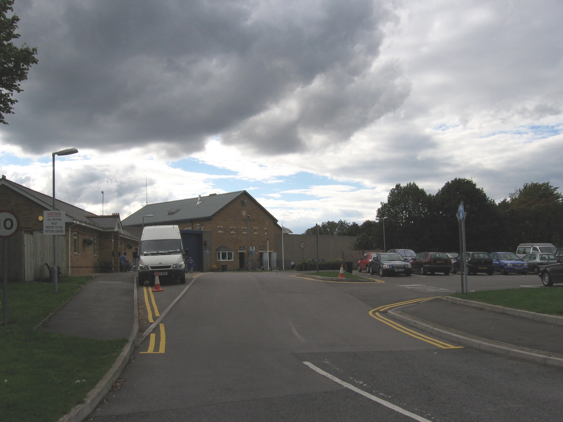
HM Prison Ashfield

HM Prison Ashfield (formerly Pucklechurch Remand Centre) is an adult male sex offenders prison located in the village of Pucklechurch (near Bristol), in...

Related Videos

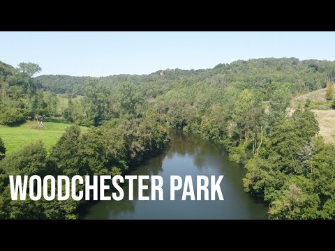
A walk round Woodchester Park, Gloucestershire | Cotswolds

Cieran unfortunately couldn't join the gang in doing the Pembrokeshire Coastal Path, so he went on his own adventure to ...

Aluminium casting crow skull walking stick part 2

Part two of the crow skull walking stick project. Part 1 on this link https://youtu.be/pTxBwJdoX0k Preparing the sticks and fitting ...

Planning a wedding and want the morning to run smoothly? Watch My helpful tips

All About Wedding Timings with Jackie, Jax Glam Beauty Bristol, South Gloucestershire As a bridal hair and makeup artist I've ...

Montage video

Few pictures of the family.

Nearby Amenities

Located within 500m of 51.503179,-2.4417335
Railway: switch
Lat/Long: 51.5024498/-2.4460669
Civil Engineers' Training School Level Crossing
Crossing Barrier: yes
Railway: level_crossing
Lat/Long: 51.5062924/-2.4442302
Railway: switch
Lat/Long: 51.5019956/-2.4466461
Railway: buffer_stop
Lat/Long: 51.5022021/-2.446625
Railway: switch
Lat/Long: 51.5026918/-2.4457232
Railway: switch
Lat/Long: 51.502931/-2.4454834
Railway: switch
Lat/Long: 51.5035378/-2.4452961
Railway: switch
Lat/Long: 51.5050665/-2.4445835
Railway: buffer_stop
Lat/Long: 51.5050971/-2.4443683
Railway: buffer_stop
Lat/Long: 51.5053976/-2.4443995
Railway: switch
Lat/Long: 51.5056521/-2.4444663
Railway: buffer_stop
Lat/Long: 51.5057871/-2.44381
Barrier: bollard
Lat/Long: 51.5062142/-2.4440364
Barrier: kissing_gate
Lat/Long: 51.5061465/-2.4433348
Barrier: lift_gate
Lat/Long: 51.5062423/-2.4441951
Civil Engineers' Training School Level Crossing
Railway: crossing
Lat/Long: 51.5063323/-2.4442167
Barrier: lift_gate
Lat/Long: 51.5063572/-2.4442712
Location: outdoor
Operator: Esso
Pipeline: valve
Ref: 22
Lat/Long: 51.5043183/-2.439994
Noexit: yes
Lat/Long: 51.4988118/-2.4427897
Coalpit Heath Branch Junction
Historic Railway: junction
Railway: site
Lat/Long: 51.5056747/-2.444458
The data included in this document is from www.openstreetmap.org. The data is made available under ODbL.

Have you been to Dudley Wood?

Leave your review of Dudley Wood below (or comments, questions and feedback).