Dewshill Wood

Wood, Forest in Gloucestershire

England

Dewshill Wood

Major earthworks This curved railway embankment (supporting the main line from Bristol to Gloucester), is undergoing re-profiling and strengthening work.
Major earthworks Credit: Roger Cornfoot

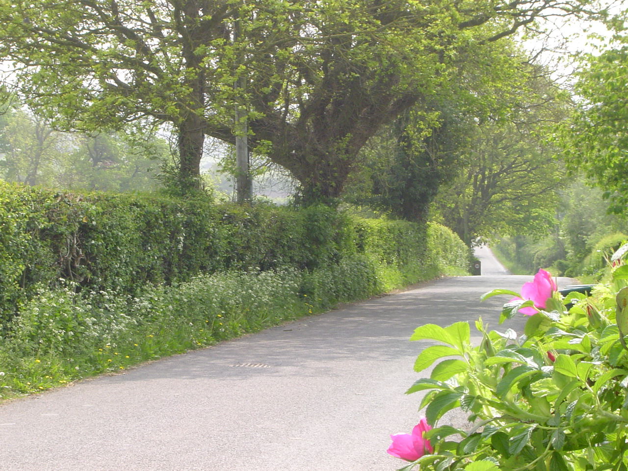
Dewshill Wood is a picturesque woodland located in the county of Gloucestershire, England. Situated near the village of Dewshill, this woodland is an enchanting natural treasure that spans over 100 acres.

The wood is primarily composed of native deciduous trees such as oak, beech, and ash, creating a diverse and vibrant ecosystem. The dense canopy of these trees provides ample shade, making it an ideal destination for a leisurely stroll on a sunny day. The forest floor is blanketed with a lush carpet of wildflowers, ferns, and mosses, adding to the woodland's charm.

Dewshill Wood is also home to a wide variety of wildlife. Bird watchers will be delighted by the presence of species such as woodpeckers, song thrushes, and tawny owls, which can be spotted flitting amongst the treetops. Small mammals like foxes, hedgehogs, and badgers make their homes here, while the occasional deer can be spotted grazing in the clearings.

The woodland is crisscrossed by a network of well-maintained footpaths, making it easily accessible to visitors. These paths wind their way through the wood, offering breathtaking views of the surrounding countryside. A small stream runs through the heart of Dewshill Wood, adding to its tranquil atmosphere.

Dewshill Wood is a popular spot for nature lovers, hikers, and families looking to escape the hustle and bustle of everyday life. Its natural beauty, diverse flora and fauna, and peaceful ambiance make it a must-visit destination for anyone seeking a rejuvenating connection with nature.

If you have any feedback on the listing, please let us know in the comments section below.

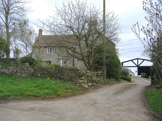
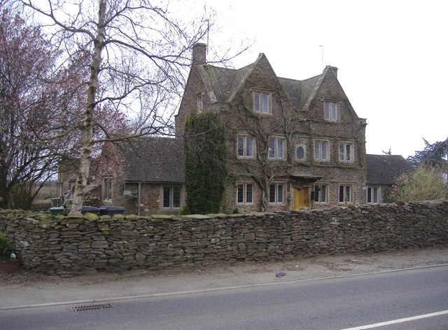
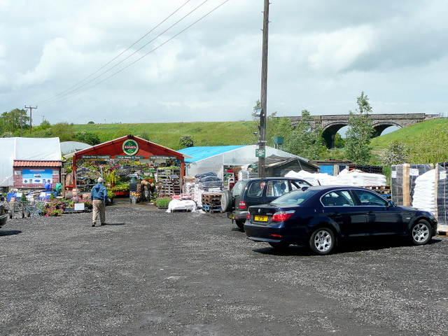
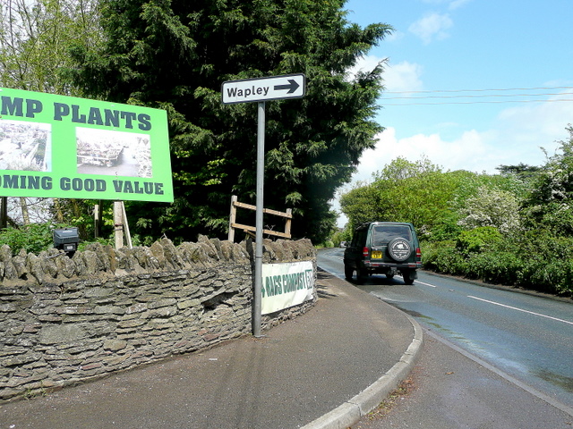
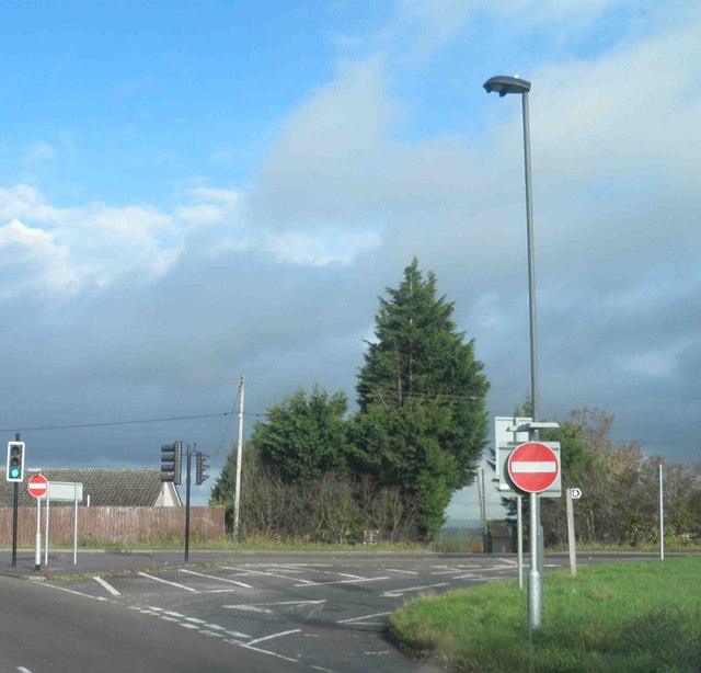
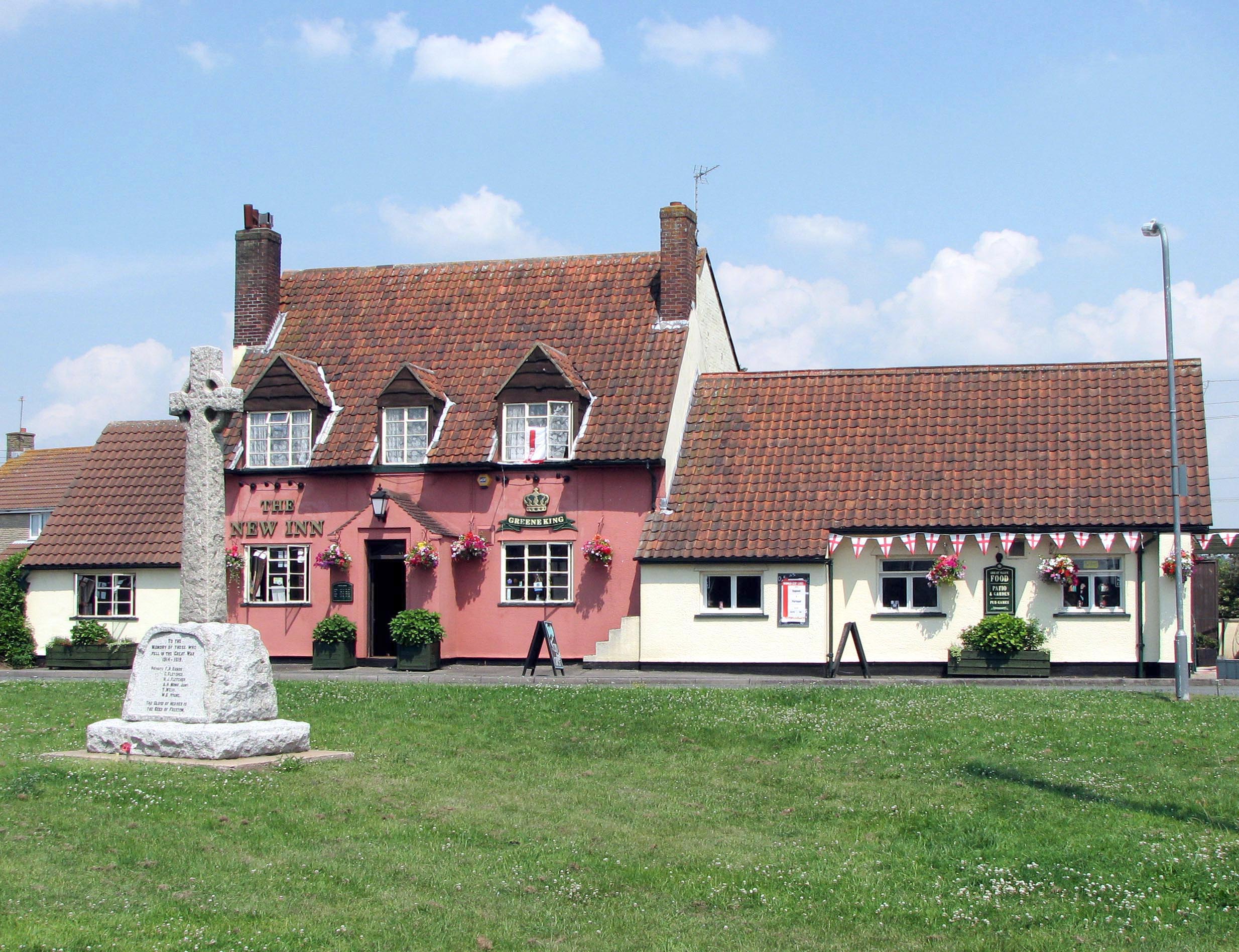
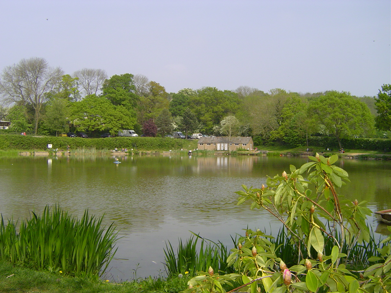
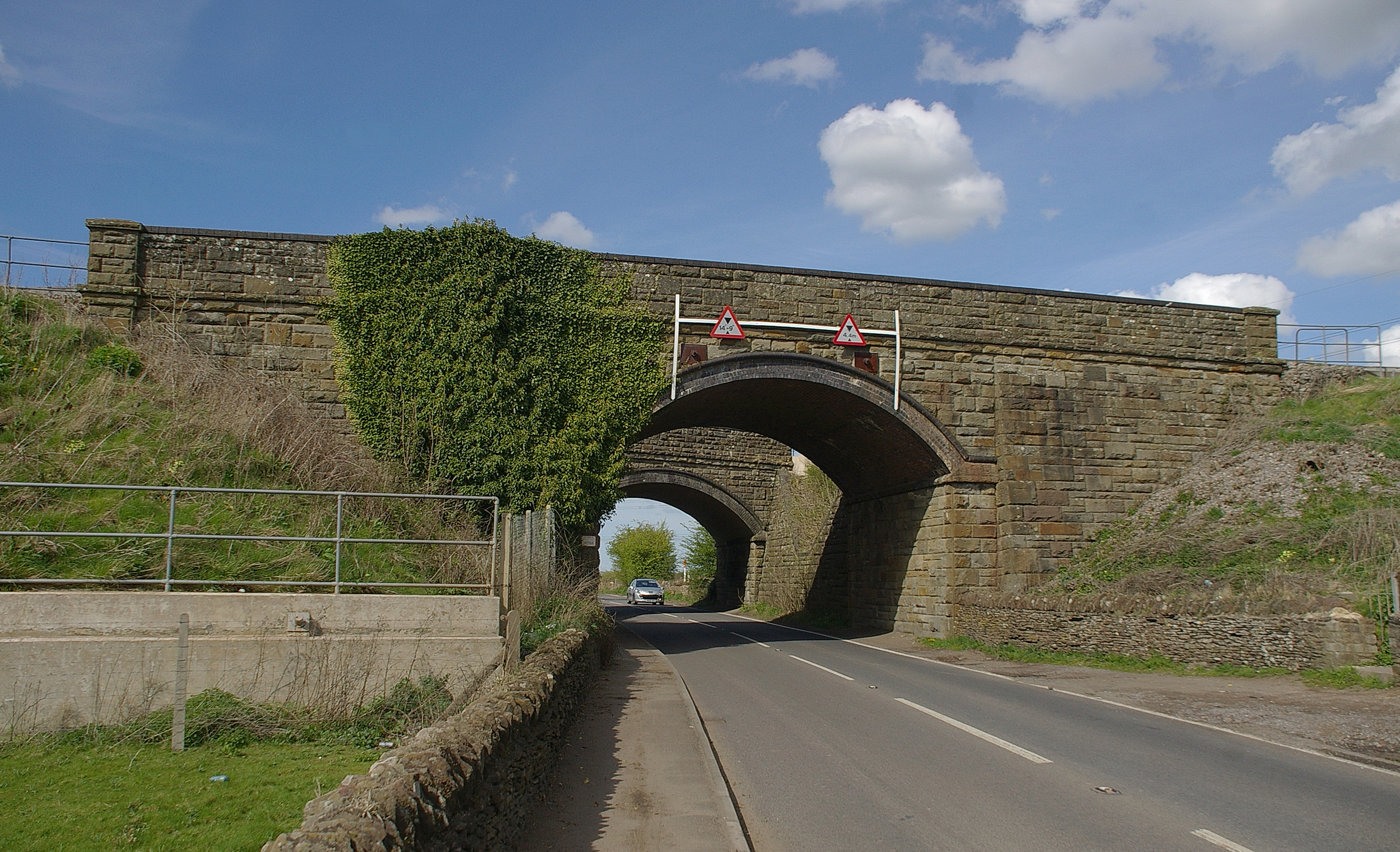
Dewshill Wood Images

Images are sourced within 2km of 51.506514/-2.4419675 or Grid Reference ST6978. Thanks to Geograph Open Source API. All images are credited.

Major earthworks This curved railway embankment (supporting the main line from Bristol to Gloucester), is undergoing re-profiling and strengthening work.
Major earthworks
This curved railway embankment (supporting the main line from Bristol to Gloucester), is undergoing re-profiling and strengthening work.
Grove Farm On Besom Lane, south of Yate. A large collection of vintage motor-cars is in storage here.
Grove Farm
On Besom Lane, south of Yate. A large collection of vintage motor-cars is in storage here.
Classic car at Grove farm One of many interesting vehicles (believed to be an MG Magnette), awaiting restoration.
Classic car at Grove farm
One of many interesting vehicles (believed to be an MG Magnette), awaiting restoration.
The Arches, Westerleigh Located close to the twin main-line railway bridges, south of Yate.
The Arches, Westerleigh
Located close to the twin main-line railway bridges, south of Yate.
Twin arches The main line from Cardiff and Bristol diverges at this point. The closest bridge carries trains north to the Midlands, whilst the rear bridge supports the line to London.
Twin arches
The main line from Cardiff and Bristol diverges at this point. The closest bridge carries trains north to the Midlands, whilst the rear bridge supports the line to London.
The sign of the dolphin Presumably a former public house.
The sign of the dolphin
Presumably a former public house.
Branch line to Yate Taken from the main line to the Midlands.
Branch line to Yate
Taken from the main line to the Midlands.
Rodford From The Train
Kemps Nurseries, Westerleigh A real nursery that grows most of what it sells.
The railway line in the background is the London to South Wales.
Kemps Nurseries, Westerleigh
A real nursery that grows most of what it sells. The railway line in the background is the London to South Wales.
Westerleigh Road Looking north towards Yate at the entrance to Kemps Nurseries.
Westerleigh Road
Looking north towards Yate at the entrance to Kemps Nurseries.
2011 : Minor road heading east near Westerleigh Up Westerleigh Hill, Westerleigh Hill Farm is in sight.
Part of a good route east out of Bristol if you are fed up with mad motorways and awful A roads.
Codrington is just under 2 miles along then on to Tormarton.
2011 : Minor road heading east near Westerleigh
Up Westerleigh Hill, Westerleigh Hill Farm is in sight. Part of a good route east out of Bristol if you are fed up with mad motorways and awful A roads. Codrington is just under 2 miles along then on to Tormarton.
B4465 road junction Westerleigh Hill
M4, Westerleigh Rd Overbridge The M4 is 190 miles long and runs from London to South Wales. Major centres close to the motorway include Reading, Swindon, Bristol, Newport, Cardiff and Swansea. The motorway was constructed between 1961 and 1996. The M4 originally crossed the first Severn Road Bridge. It has now been diverted to use the Second Severn Crossing and the motorway over the older bridge has been renumbered as M48.
Wikipedia: <span class="nowrap"><a title="http://en.wikipedia.org/wiki/M4_motorway" rel="nofollow ugc noopener" href="http://en.wikipedia.org/wiki/M4_motorway">Link</a><img style="margin-left:2px;" alt="External link" title="External link - shift click to open in new window" src="https://s1.geograph.org.uk/img/external.png" width="10" height="10"/></span>
M4, Westerleigh Rd Overbridge
The M4 is 190 miles long and runs from London to South Wales. Major centres close to the motorway include Reading, Swindon, Bristol, Newport, Cardiff and Swansea. The motorway was constructed between 1961 and 1996. The M4 originally crossed the first Severn Road Bridge. It has now been diverted to use the Second Severn Crossing and the motorway over the older bridge has been renumbered as M48. Wikipedia: LinkExternal link
Leigh Lane heading West beside the crematorium
A busy day at Westerleigh crematorium
Road to nowhere, now a peaceful footpath I'm guessing that the proximity of the M4 motorway was the cause of the closure of this old road.
Road to nowhere, now a peaceful footpath
I'm guessing that the proximity of the M4 motorway was the cause of the closure of this old road.
Westerleigh Road Overbridge, M4 The M4 is 190 miles long and runs from London to South Wales. Major centres close to the motorway include Reading, Swindon, Bristol, Newport, Cardiff and Swansea. The motorway was constructed between 1961 and 1996. The M4 originally crossed the first Severn Road Bridge. It has now been diverted to use the Second Severn Crossing and the motorway over the older bridge has been renumbered as M48.
Wikipedia: <span class="nowrap"><a title="http://en.wikipedia.org/wiki/M4_motorway" rel="nofollow ugc noopener" href="http://en.wikipedia.org/wiki/M4_motorway">Link</a><img style="margin-left:2px;" alt="External link" title="External link - shift click to open in new window" src="https://s1.geograph.org.uk/img/external.png" width="10" height="10"/></span>
Westerleigh Road Overbridge, M4
The M4 is 190 miles long and runs from London to South Wales. Major centres close to the motorway include Reading, Swindon, Bristol, Newport, Cardiff and Swansea. The motorway was constructed between 1961 and 1996. The M4 originally crossed the first Severn Road Bridge. It has now been diverted to use the Second Severn Crossing and the motorway over the older bridge has been renumbered as M48. Wikipedia: LinkExternal link
M4 Motorway, Westerleigh Road Bridge The M4 is 190 miles long and runs from London to South Wales. Major centres close to the motorway include Reading, Swindon, Bristol, Newport, Cardiff and Swansea. The motorway was constructed between 1961 and 1996. The M4 originally crossed the first Severn Road Bridge. It has now been diverted to use the Second Severn Crossing and the motorway over the older bridge has been renumbered as M48.
Wikipedia: <span class="nowrap"><a title="http://en.wikipedia.org/wiki/M4_motorway" rel="nofollow ugc noopener" href="http://en.wikipedia.org/wiki/M4_motorway">Link</a><img style="margin-left:2px;" alt="External link" title="External link - shift click to open in new window" src="https://s1.geograph.org.uk/img/external.png" width="10" height="10"/></span>
M4 Motorway, Westerleigh Road Bridge
The M4 is 190 miles long and runs from London to South Wales. Major centres close to the motorway include Reading, Swindon, Bristol, Newport, Cardiff and Swansea. The motorway was constructed between 1961 and 1996. The M4 originally crossed the first Severn Road Bridge. It has now been diverted to use the Second Severn Crossing and the motorway over the older bridge has been renumbered as M48. Wikipedia: LinkExternal link
Show me another place!

Dewshill Wood is located at Grid Ref: ST6978 (Lat: 51.506514, Lng: -2.4419675)

Unitary Authority: South Gloucestershire

Police Authority: Avon and Somerset

What 3 Words

///awakening.ensemble.secures. Near Pucklechurch, Gloucestershire

Nearby Locations

Dewshill Wood Dudley Wood

Related Wikis

Westerleigh

Westerleigh is a clustered village in the civil parish of Westerleigh and Coalpit Heath (which includes Henfield) in the South Gloucestershire district...

Parkfield Colliery

Parkfield Colliery, near Pucklechurch, South Gloucestershire, was sunk in 1851 under the ownership of Handel Cossham. Coal was reached in 1853. The shaft...

Henfield, Gloucestershire

Henfield is a hamlet in the civil parish of Westerleigh and Coalpit Heath, in the South Gloucestershire district, in the ceremonial county of Gloucestershire...

Westerleigh Junction

Westerleigh Junction is a railway junction in Gloucestershire, England, where the Cross Country Route (XCR) from York to Bristol Temple Meads meets the...

Ram Hill

Ram Hill is a hamlet in the civil parish of Westerleigh and Coalpit Heath, in the South Gloucestershire district, in the ceremonial county of Gloucestershire...

Ram Hill Colliery

Ram Hill Colliery, (grid reference ST679803) was a privately owned colliery in the Coalpit Heath area north-east of Bristol, England. It operated between...

Wapley

Wapley is a rural village in South Gloucestershire, England. == See also == Do not stand at my grave and weep == References == == External links == Media...

Pucklechurch

Pucklechurch is a large village and civil parish in South Gloucestershire, England. It has a current population of about 3000. The village dates back over...

Nearby Amenities

Located within 500m of 51.506514,-2.4419675
Post Box
Ref: BS37 246
Source: survey
Lat/Long: 51.5106888/-2.4433363
Civil Engineers' Training School Level Crossing
Crossing Barrier: yes
Railway: level_crossing
Lat/Long: 51.5062924/-2.4442302
Barrier: stile
Lat/Long: 51.5092989/-2.4376116
Railway: switch
Lat/Long: 51.5026918/-2.4457232
Railway: switch
Lat/Long: 51.502931/-2.4454834
Railway: switch
Lat/Long: 51.5035378/-2.4452961
Railway: switch
Lat/Long: 51.5050665/-2.4445835
Railway: buffer_stop
Lat/Long: 51.5050971/-2.4443683
Railway: buffer_stop
Lat/Long: 51.5053976/-2.4443995
Railway: switch
Lat/Long: 51.5056521/-2.4444663
Railway: buffer_stop
Lat/Long: 51.5057871/-2.44381
Barrier: bollard
Lat/Long: 51.5062142/-2.4440364
Barrier: kissing_gate
Lat/Long: 51.5061465/-2.4433348
Barrier: cycle_barrier
Lat/Long: 51.5104636/-2.4446855
Barrier: lift_gate
Lat/Long: 51.5062423/-2.4441951
Give Way
Direction: backward
Lat/Long: 51.5107292/-2.4439414
Civil Engineers' Training School Level Crossing
Railway: crossing
Lat/Long: 51.5063323/-2.4442167
Power: pole
Source: Bing
Lat/Long: 51.5097537/-2.4449935
Power: pole
Source: Bing
Lat/Long: 51.5098125/-2.4461857
Crossing
Bicycle: yes
Crossing Island: yes
Tactile Paving: yes
Lat/Long: 51.5106529/-2.4445986
Power: pole
Lat/Long: 51.5098309/-2.4411924
Generator Source: solar
Power: generator
Lat/Long: 51.5105045/-2.4438116
Generator Source: solar
Power: generator
Lat/Long: 51.510522/-2.4438807
Barrier: lift_gate
Lat/Long: 51.5063572/-2.4442712
Location: outdoor
Operator: Esso
Pipeline: valve
Ref: 22
Lat/Long: 51.5043183/-2.439994
Barrier: stile
Material: wood
Stile: stepover
Lat/Long: 51.5080956/-2.4388146
Barrier: kissing_gate
Material: metal
Lat/Long: 51.5085363/-2.4383774
Coalpit Heath Branch Junction
Historic Railway: junction
Railway: site
Lat/Long: 51.5056747/-2.444458
The data included in this document is from www.openstreetmap.org. The data is made available under ODbL.

Have you been to Dewshill Wood?

Leave your review of Dewshill Wood below (or comments, questions and feedback).