Stonegrove Wood

Wood, Forest in Yorkshire Craven

England

Stonegrove Wood

River Wenning at Greystonegill Bridge Looking north-eastward upstream.
River Wenning at Greystonegill Bridge Credit: Peter Wood

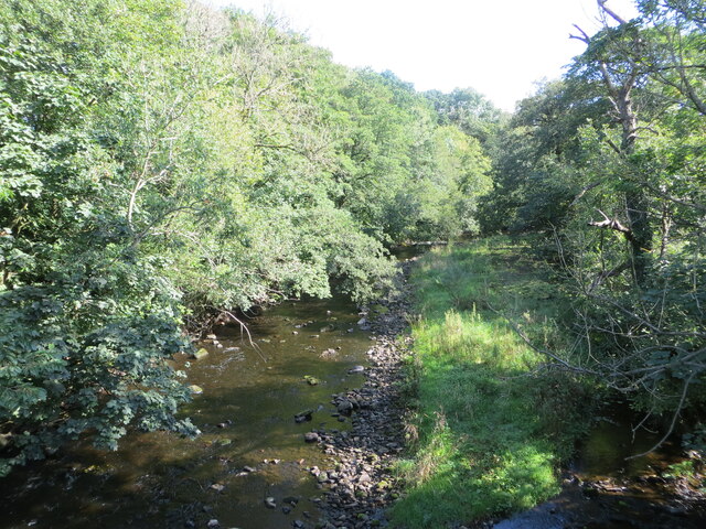
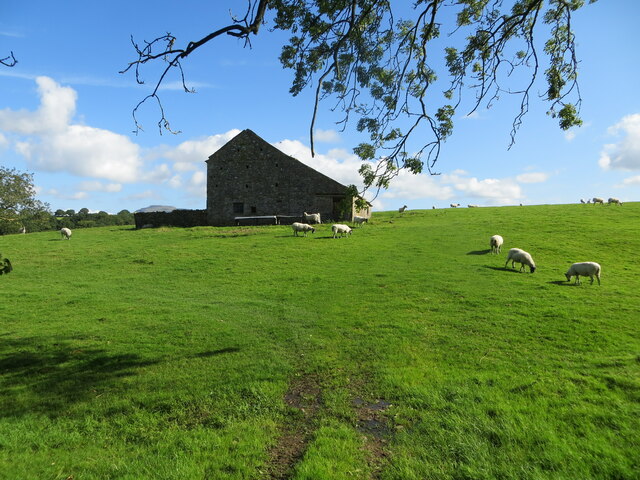
Stonegrove Wood is a picturesque woodland located in Yorkshire, England. Covering an area of approximately 100 acres, this enchanting forest is nestled in the heart of the Yorkshire Dales, offering visitors a tranquil and idyllic retreat from the bustling city life.

The wood is predominantly composed of native tree species, including oak, beech, and birch, which create a rich and diverse ecosystem. The dense canopy provides a habitat for a variety of wildlife, such as deer, foxes, and a wide array of bird species, making it a haven for nature enthusiasts and birdwatchers.

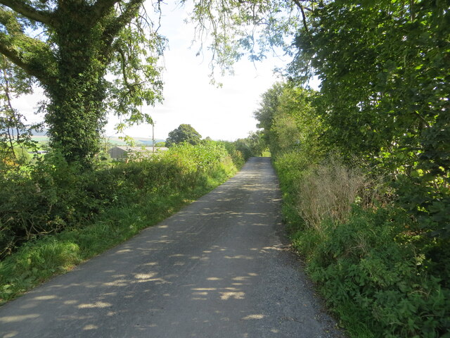
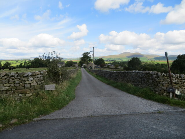
Stonegrove Wood is crisscrossed with a network of well-maintained footpaths, allowing visitors to explore the woodland at their leisure. These paths wind through vibrant meadows, babbling brooks, and serene ponds, providing opportunities for scenic walks and peaceful picnics.

The woodland is also home to an array of wildflowers, including bluebells, primroses, and wood anemones, which create a stunning carpet of colors during the spring months. As autumn approaches, the forest transforms into a spectacle of golden hues, making it a popular destination for photographers and artists.

Stonegrove Wood is managed by the Yorkshire Wildlife Trust, ensuring the preservation of its natural beauty and biodiversity. The trust organizes various educational programs and events throughout the year, aiming to raise awareness about the importance of conservation and sustainable practices.

Whether seeking solace in nature, enjoying a leisurely stroll, or immersing oneself in the wonders of the natural world, Stonegrove Wood is a true gem in the Yorkshire landscape.

If you have any feedback on the listing, please let us know in the comments section below.

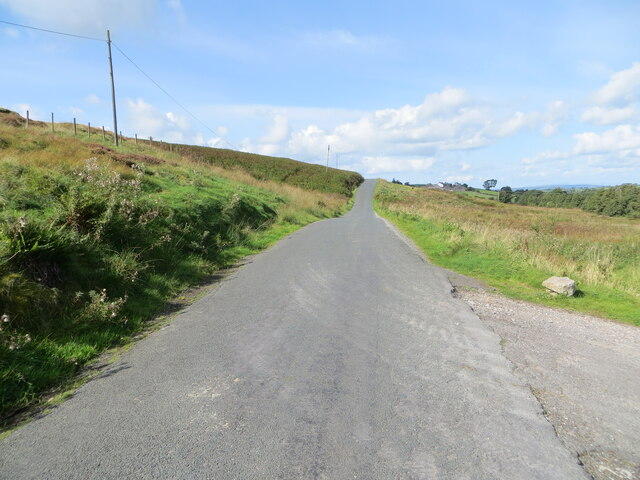
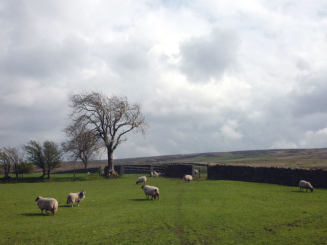
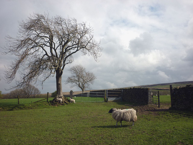
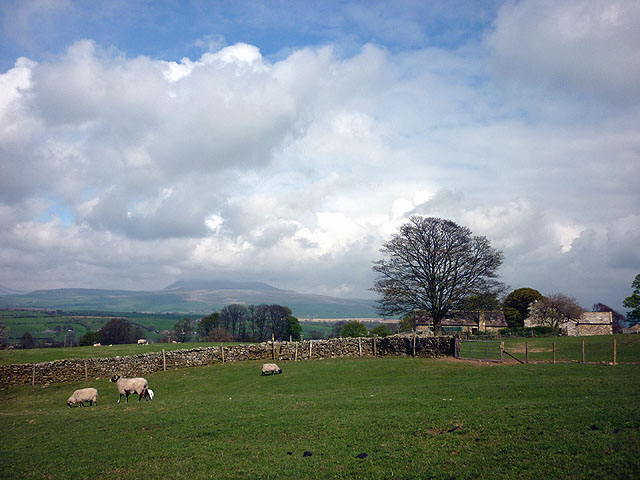
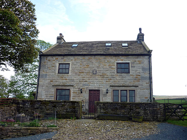
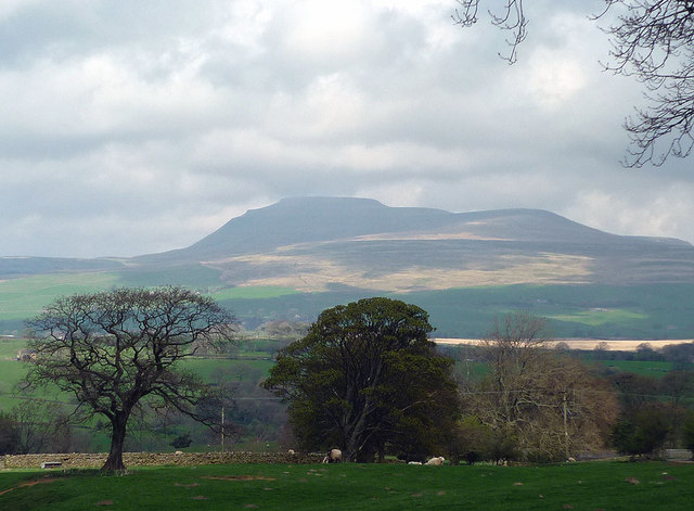
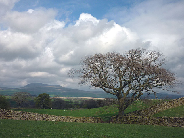
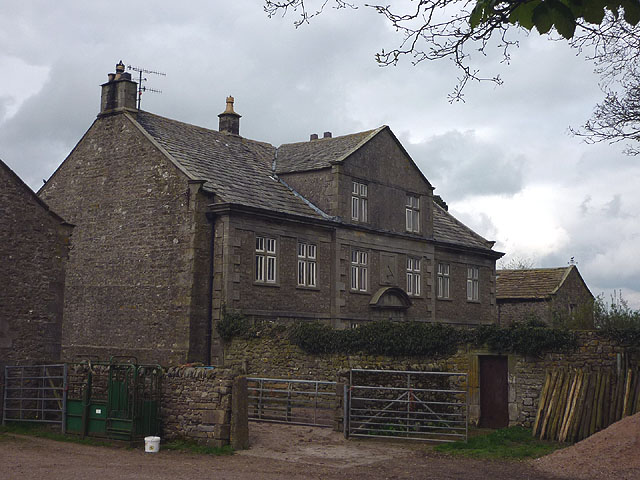
Stonegrove Wood Images

Images are sourced within 2km of 54.099092/-2.4720003 or Grid Reference SD6967. Thanks to Geograph Open Source API. All images are credited.

River Wenning at Greystonegill Bridge Looking north-eastward upstream.
River Wenning at Greystonegill Bridge
Looking north-eastward upstream.
Pastureland and field barn on Buffet Hill Looking north-eastward.
Pastureland and field barn on Buffet Hill
Looking north-eastward.
Mewith Lane approaching New House Looking eastward.
Mewith Lane approaching New House
Looking eastward.
Hedge-lined land approaching Barnfield Looking north-westward.
Hedge-lined land approaching Barnfield
Looking north-westward.
Access to Hammon Head Hall Looking northward from Bloe Beck Lane. Ingleborough is visible on the skyline.
Access to Hammon Head Hall
Looking northward from Bloe Beck Lane. Ingleborough is visible on the skyline.
Mewith Lane beside Cinder Hill Looking north-westward.
Mewith Lane beside Cinder Hill
Looking north-westward.
Ridding Lane farmhouse There is a date stone of 1664 with initials RH over the door (Richard Hall). It is Grade II listed <span class="nowrap"><a title="http://www.britishlistedbuildings.co.uk/en-324097-ridding-lane-farmhouse-bentham" rel="nofollow ugc noopener" href="http://www.britishlistedbuildings.co.uk/en-324097-ridding-lane-farmhouse-bentham">Link</a><img style="margin-left:2px;" alt="External link" title="External link - shift click to open in new window" src="https://s1.geograph.org.uk/img/external.png" width="10" height="10"/></span>
Ridding Lane farmhouse
There is a date stone of 1664 with initials RH over the door (Richard Hall). It is Grade II listed LinkExternal link
Spring is in the air! These young cows from Ridding Lane have just been released into the field by Shaky Bridge. They may have been indoors for a while so are glad to be let loose - here come the girls!
Spring is in the air!
These young cows from Ridding Lane have just been released into the field by Shaky Bridge. They may have been indoors for a while so are glad to be let loose - here come the girls!
Seal Style Farm in the Forest of Mewith.
Seal Style
Farm in the Forest of Mewith.
Gruskholme - not to be confused with Gruskham A late 17th/early 18th Century former farmhouse in the Forest of Mewith. It is Grade II listed <span class="nowrap"><a title="http://www.britishlistedbuildings.co.uk/en-324070-gruskholme-bentham" rel="nofollow ugc noopener" href="http://www.britishlistedbuildings.co.uk/en-324070-gruskholme-bentham">Link</a><img style="margin-left:2px;" alt="External link" title="External link - shift click to open in new window" src="https://s1.geograph.org.uk/img/external.png" width="10" height="10"/></span> The footpath coming up from Seal Style to the north appears to be blocked here (naughty!).
Gruskholme - not to be confused with Gruskham
A late 17th/early 18th Century former farmhouse in the Forest of Mewith. It is Grade II listed LinkExternal link The footpath coming up from Seal Style to the north appears to be blocked here (naughty!).
Gruskham - not to be confused with Gruskholme Another converted farmhouse. The postman must get confused up here. This is Grade II listed <span class="nowrap"><a title="http://www.britishlistedbuildings.co.uk/en-324069-gruskham-bentham" rel="nofollow ugc noopener" href="http://www.britishlistedbuildings.co.uk/en-324069-gruskham-bentham">Link</a><img style="margin-left:2px;" alt="External link" title="External link - shift click to open in new window" src="https://s1.geograph.org.uk/img/external.png" width="10" height="10"/></span>
Gruskham - not to be confused with Gruskholme
Another converted farmhouse. The postman must get confused up here. This is Grade II listed LinkExternal link
Sheep at Gruskham There is one more intake field of improved pasture then the open wastes of Burn Moor.
Sheep at Gruskham
There is one more intake field of improved pasture then the open wastes of Burn Moor.
Sheep and lambs at Gruskham Mother keeps an eye on the children while they get on with the important job of checking out the tree.
Sheep and lambs at Gruskham
Mother keeps an eye on the children while they get on with the important job of checking out the tree.
Approaching Crow Trees The footpath from Gruskham heads through sheep pastures with a good view of Ingleborough.
Approaching Crow Trees
The footpath from Gruskham heads through sheep pastures with a good view of Ingleborough.
Crow Trees farmhouse Most of the farmhouses up here in the Forest of Mewith seem to be converted. This one has a 1770 date stone with initials IR. It is Grade II listed <span class="nowrap"><a title="http://www.britishlistedbuildings.co.uk/en-324049-crow-trees-farmhouse-bentham" rel="nofollow ugc noopener" href="http://www.britishlistedbuildings.co.uk/en-324049-crow-trees-farmhouse-bentham">Link</a><img style="margin-left:2px;" alt="External link" title="External link - shift click to open in new window" src="https://s1.geograph.org.uk/img/external.png" width="10" height="10"/></span>
Crow Trees farmhouse
Most of the farmhouses up here in the Forest of Mewith seem to be converted. This one has a 1770 date stone with initials IR. It is Grade II listed LinkExternal link
Looking towards Ingleborough Once the cloud has cleared Ingleborough becomes the object that draws the eye.
Looking towards Ingleborough
Once the cloud has cleared Ingleborough becomes the object that draws the eye.
Walls and Ingleborough Encountered on the path east of Crow Trees.
Walls and Ingleborough
Encountered on the path east of Crow Trees.
Mewith Head Hall An unexpected sight up here almost at the upper edge of the pasture land of Mewith Forest. The hall is 18th Century although the owner(?) told me that he thought it once belonged to a standard bearer of Henry VIII. It is Grade II* listed <span class="nowrap"><a title="http://www.britishlistedbuildings.co.uk/en-324095-mewith-head-hall-wall-to-garden-and-gate" rel="nofollow ugc noopener" href="http://www.britishlistedbuildings.co.uk/en-324095-mewith-head-hall-wall-to-garden-and-gate">Link</a><img style="margin-left:2px;" alt="External link" title="External link - shift click to open in new window" src="https://s1.geograph.org.uk/img/external.png" width="10" height="10"/></span> along with the wall of the garden and the gatepiers.
Mewith Head Hall
An unexpected sight up here almost at the upper edge of the pasture land of Mewith Forest. The hall is 18th Century although the owner(?) told me that he thought it once belonged to a standard bearer of Henry VIII. It is Grade II* listed LinkExternal link along with the wall of the garden and the gatepiers.
Show me another place!

Stonegrove Wood is located at Grid Ref: SD6967 (Lat: 54.099092, Lng: -2.4720003)

Division: West Riding

Administrative County: North Yorkshire

District: Craven

Police Authority: North Yorkshire

What 3 Words

///chitchat.curry.generated. Near High Bentham, North Yorkshire

Related Wikis

Keasden Beck

Keasden Beck is a stream in Yorkshire (formerly the West Riding) rising near Keasden Head, joining the River Wenning south west of Clapham. == References... ==

Great Stone of Fourstones

The Great Stone of Fourstones, or the Big Stone as it is known locally, is a glacial deposit on the moorlands of Tatham Fells, England, straddling the...

St Margaret's Church, High Bentham

St Margaret's Church is in Station Road, High Bentham, North Yorkshire, England. It is an Anglican parish church in the deanery of Ewecross, the archdeaconry...

Keasden

Keasden is a hamlet in the civil parish of Clapham-cum-Newby, in the Craven district of the county of North Yorkshire, in the north-western England. It...

Bentham railway station

Bentham is a railway station on the Bentham Line, which runs between Leeds and Morecambe via Skipton. The station, situated 19 miles (31 km) east of Lancaster...

Bentham, North Yorkshire

Bentham is a civil parish in North Yorkshire, England, with a population of 3,027 at the 2011 Census. The parish includes the town of High Bentham, occasionally...

Clapham railway station

Clapham is a railway station on the Bentham Line, which runs between Leeds and Morecambe via Skipton. The station, situated 48 miles (77 km) north-west...

Church of the Good Shepherd, Tatham

The Church of the Good Shepherd is on Tatham Fell in Lancashire, England. It is an active Anglican parish church in the deanery of Tunstall, the archdeaconry...

Nearby Amenities

Located within 500m of 54.099092,-2.4720003
Barrier: stile
Material: stone
Source: survey;gps
Stile: stepover
Lat/Long: 54.1004862/-2.4761652
Power: pole
Lat/Long: 54.1005421/-2.4650998
Power: pole
Lat/Long: 54.1006592/-2.4666173
Power: pole
Lat/Long: 54.100784/-2.4681166
Power: pole
Lat/Long: 54.1009026/-2.4696236
Power: pole
Lat/Long: 54.1010227/-2.471167
Power: pole
Lat/Long: 54.1011383/-2.472643
Power: pole
Lat/Long: 54.1012676/-2.4742694
Power: pole
Lat/Long: 54.1013954/-2.4758491
Power: pole
Lat/Long: 54.1014684/-2.4768036
Power: pole
Lat/Long: 54.101546/-2.4778023
Power: pole
Lat/Long: 54.1013893/-2.4731125
Power: pole
Lat/Long: 54.1019475/-2.4742538
Power: pole
Lat/Long: 54.1026456/-2.4742564
The data included in this document is from www.openstreetmap.org. The data is made available under ODbL.

Have you been to Stonegrove Wood?

Leave your review of Stonegrove Wood below (or comments, questions and feedback).