The Oaks

Wood, Forest in Cheshire

England

The Oaks

A footbridge over the M6 Heading north on the M6.
A footbridge over the M6 Credit: Steve Daniels

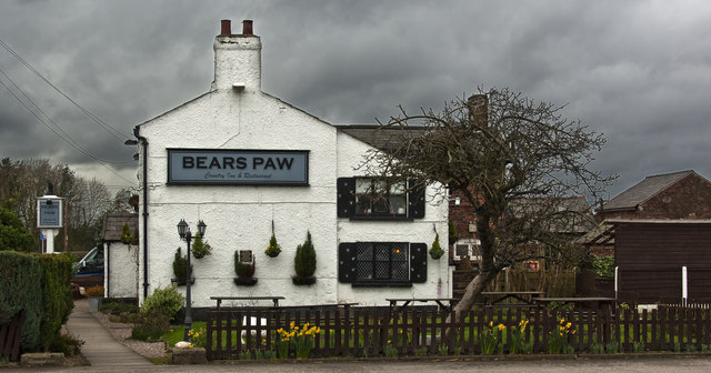
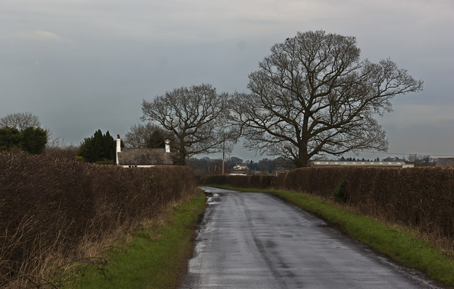
The Oaks is a picturesque woodland area located in Cheshire, England. Situated amidst the lush countryside, it is known for its stunning woodlands and diverse flora and fauna. The Oaks is a popular destination for nature enthusiasts and offers various recreational activities for visitors.

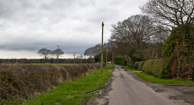
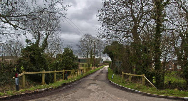
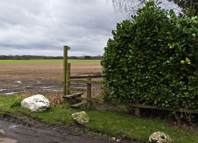
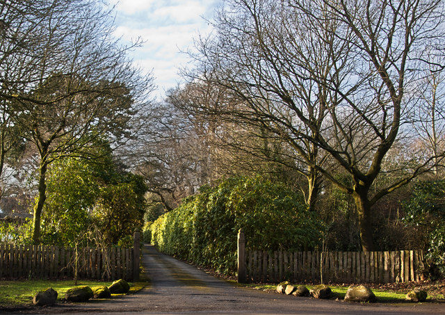
Covering a vast area, The Oaks is home to a variety of tree species, including oak, beech, birch, and pine. The dense canopy of trees creates a tranquil atmosphere, providing a perfect escape from the bustling city life. Walking trails wind through the woodland, allowing visitors to explore its beauty and discover hidden gems.

The Oaks is not only a haven for nature lovers but also a sanctuary for wildlife. The diverse ecosystem supports a wide range of animals, including deer, squirrels, rabbits, and various bird species. Birdwatchers can spot rare and migratory birds in the area, making it a popular spot for birdwatching enthusiasts.

In addition to its natural beauty, The Oaks also offers recreational facilities for visitors. There are designated picnic areas where families and friends can enjoy a day out amidst nature. The woodland is also popular for camping and hiking, with several campgrounds and trails available for adventure seekers.

The Oaks, Cheshire, truly embodies the beauty of the English countryside. Its breathtaking woodlands, rich wildlife, and recreational opportunities make it a must-visit destination for nature enthusiasts and those seeking a peaceful retreat in the heart of Cheshire.

If you have any feedback on the listing, please let us know in the comments section below.
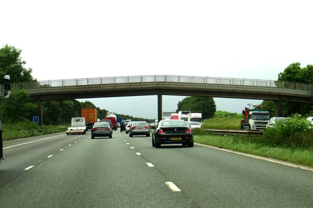
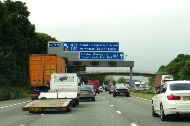
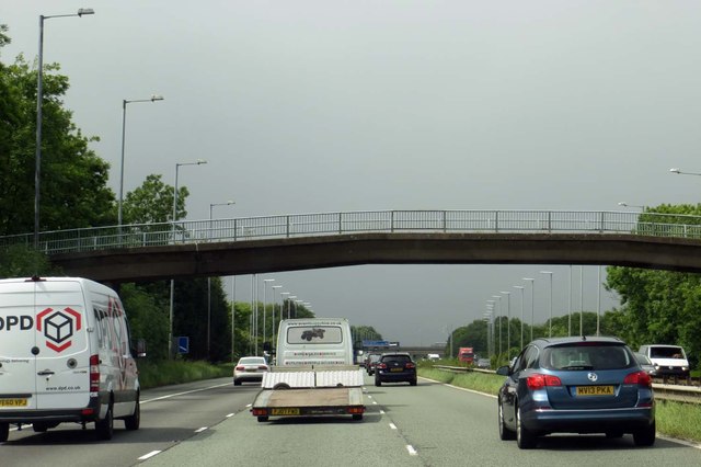
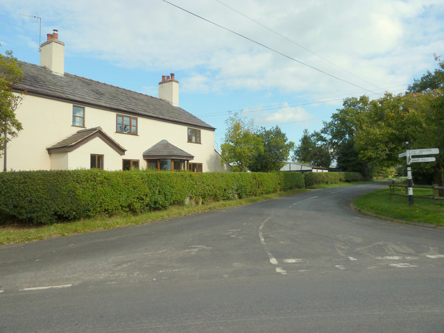
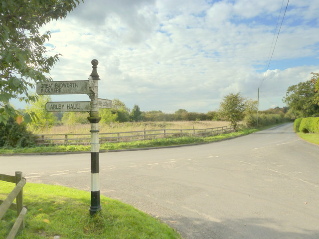
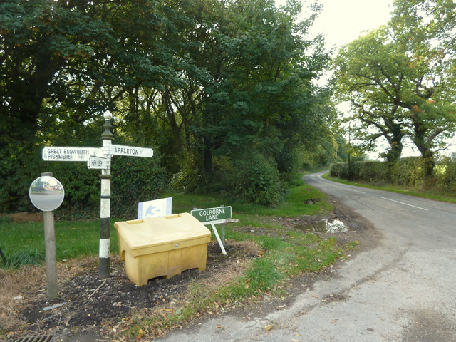
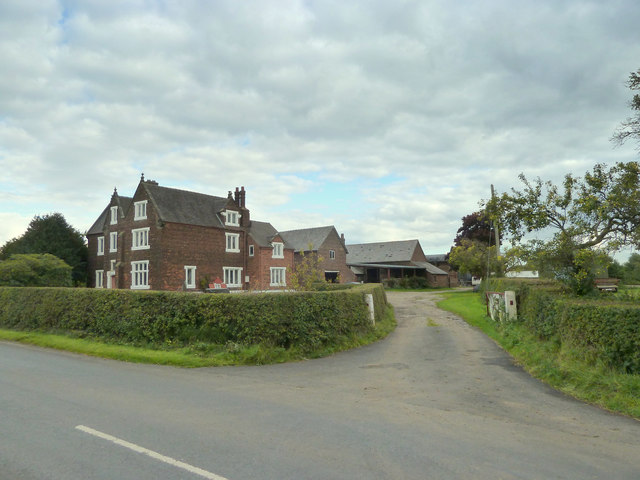
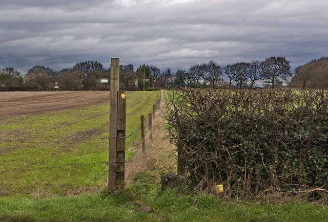
The Oaks Images

Images are sourced within 2km of 53.347271/-2.4667456 or Grid Reference SJ6983. Thanks to Geograph Open Source API. All images are credited.

A footbridge over the M6 Heading north on the M6.
A footbridge over the M6
Heading north on the M6.
Junction 20 sign on the M6 Heading north on the M6.
Junction 20 sign on the M6
Heading north on the M6.
A farm track crosses the M6 Heading north on the M6.
A farm track crosses the M6
Heading north on the M6.
Junction of Rowley Bank Lane and Whitley Lane, High Legh
Finger post directions at junction of Whitley Lane and Rowley Bank Lane, High Legh
Golborne Lane, High Legh
Northwood Hall Farm, Whitley Lane
Footpath to Rowlinson's Green off Swineyard Lane
Fanners Lane
Fanners Lane
The Bears Paw Inn Michelin may have a bit of a start, but on the strength of one lunch here I’m tempted to start my own Good Food Guide.
The Bears Paw Inn
Michelin may have a bit of a start, but on the strength of one lunch here I’m tempted to start my own Good Food Guide.
The track to Granthams
Golbourne Lane
Golbourne Lane
Footpath off Moss Lane to Sink Moss
Crabtree Lane
Crabtree Lane
The entrance to High Legh House
Cheshire East : The M6 Motorway Heading northbound on the M6 Motorway approaching junction 20.
Cheshire East : The M6 Motorway
Heading northbound on the M6 Motorway approaching junction 20.
Old Direction Sign - Signpost by Rowley Bank Lane, High Legh parish Finial - Cheshire CCC octagonal in parish of High Legh (Macclesfield District), Rowley Bank Lane junction with Whitley Lane. See also <a title="https://www.geograph.org.uk/photo/" href="https://www.geograph.org.uk/photo/">Link</a> 7168906 and <a title="https://www.geograph.org.uk/photo/4692742" href="https://www.geograph.org.uk/photo/4692742">Link</a>.

To be surveyed

Milestone Society National ID: CH_SJ6982A.
Old Direction Sign - Signpost by Rowley Bank Lane, High Legh parish
Finial - Cheshire CCC octagonal in parish of High Legh (Macclesfield District), Rowley Bank Lane junction with Whitley Lane. See also Link 7168906 and Link. To be surveyed Milestone Society National ID: CH_SJ6982A.
Old Direction Sign - Signpost by Rowley Bank Lane, Knutsford parish Pawn finial - 3 arms; Round column, in parish of Knutsford (Macclesfield District), Rowley Bank Lane junction with Golborne Lane.

To be surveyed

Milestone Society National ID: CH_SJ6982B
Old Direction Sign - Signpost by Rowley Bank Lane, Knutsford parish
Pawn finial - 3 arms; Round column, in parish of Knutsford (Macclesfield District), Rowley Bank Lane junction with Golborne Lane. To be surveyed Milestone Society National ID: CH_SJ6982B
Show me another place!

The Oaks is located at Grid Ref: SJ6983 (Lat: 53.347271, Lng: -2.4667456)

Unitary Authority: Cheshire East

Police Authority: Cheshire

What 3 Words

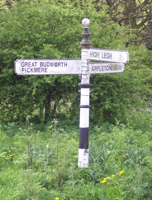
///city.dairy.picnic. Near High Legh, Cheshire

Nearby Locations

The Oaks High Legh

Related Wikis

Bucklow Hundred

The hundred of Bucklow was an ancient division of the historic county of Cheshire, in northern England. It was known to have been in existence at least...

St Mary's Chapel, High Legh

St Mary's Chapel is a former Anglican parish church in the village of High Legh, Cheshire, England. It is recorded in the National Heritage List for England...

High Legh

High Legh is a village, civil and ecclesiastical parish in the unitary authority of Cheshire East and the ceremonial county of Cheshire, England. It is...

St John's Church, High Legh

St John's Church is an active Anglican parish church in the village of High Legh, Cheshire, England. It is in the deanery of Knutsford, the archdeaconry...

Have you been to The Oaks?

Leave your review of The Oaks below (or comments, questions and feedback).