Hen Wood
Wood, Forest in Somerset South Somerset
England
Hen Wood
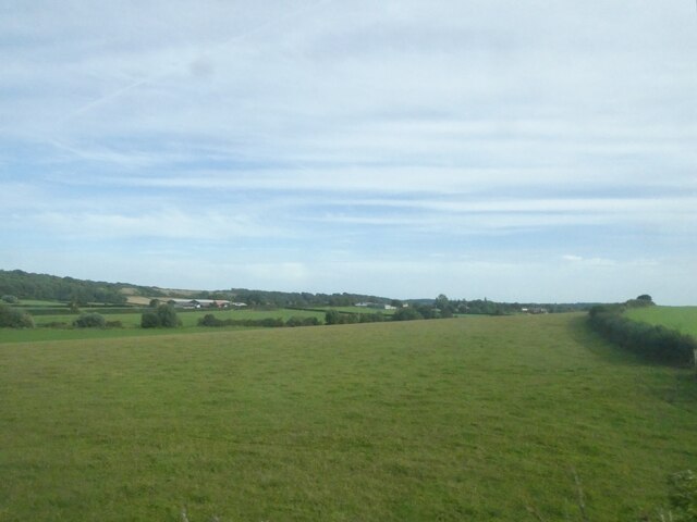
Hen Wood is a picturesque forest located in Somerset, England. Covering an area of approximately 300 acres, it is a popular destination for nature lovers and outdoor enthusiasts. The wood is situated near the small village of Hen, hence its name, and is surrounded by rolling hills, meadows, and farmland.
The woodland itself is predominantly composed of broadleaf trees, including oak, beech, and ash. These towering trees provide a dense canopy, creating a shady and tranquil atmosphere within the forest. The forest floor is covered in a rich carpet of moss, ferns, and wildflowers, adding to its natural beauty.
Hen Wood is home to a diverse range of wildlife, making it a haven for nature enthusiasts. Visitors may spot various bird species, such as woodpeckers, owls, and warblers, as well as mammals like deer, squirrels, and rabbits. The forest also supports a thriving population of insects, including butterflies and beetles.
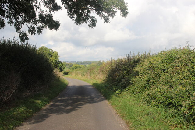
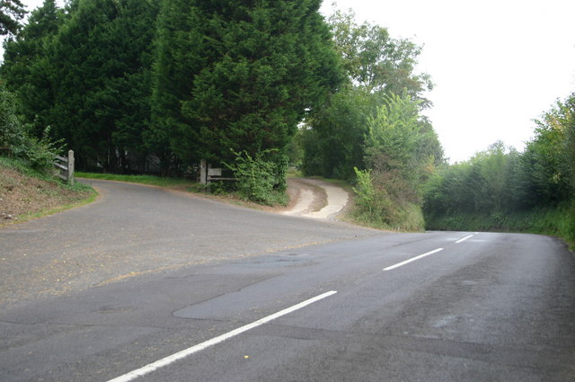
There are several walking trails and footpaths that wind through Hen Wood, allowing visitors to explore its enchanting beauty at their own pace. These paths are well-maintained and signposted, ensuring a safe and enjoyable experience for all. Additionally, there are picnic areas and benches scattered throughout the forest, providing opportunities for relaxation and appreciation of the surroundings.
Hen Wood is easily accessible by both car and public transport, with ample parking available nearby. It offers a peaceful retreat from the hustle and bustle of daily life, allowing visitors to immerse themselves in the natural wonders of Somerset's countryside.
If you have any feedback on the listing, please let us know in the comments section below.
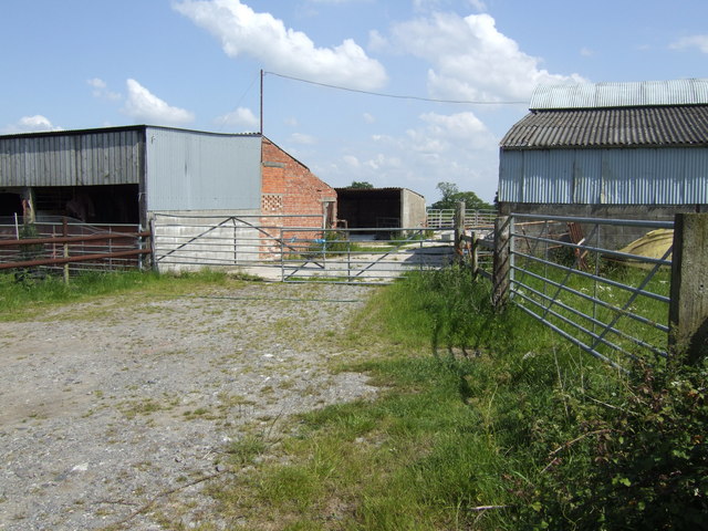
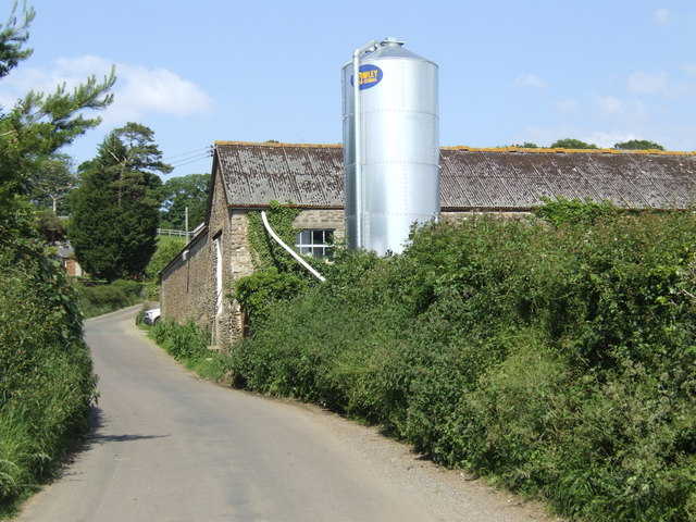
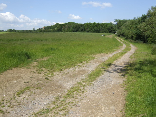
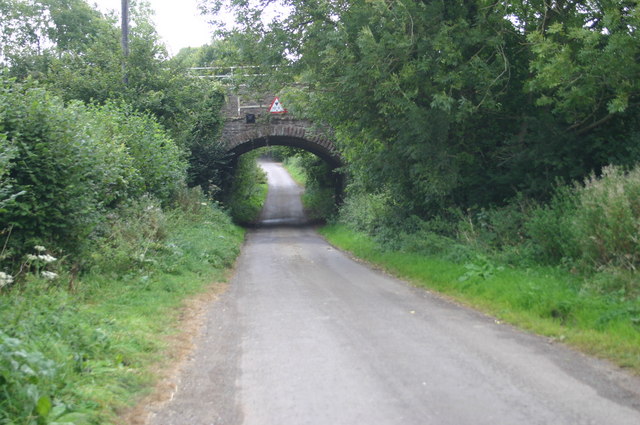
Hen Wood Images
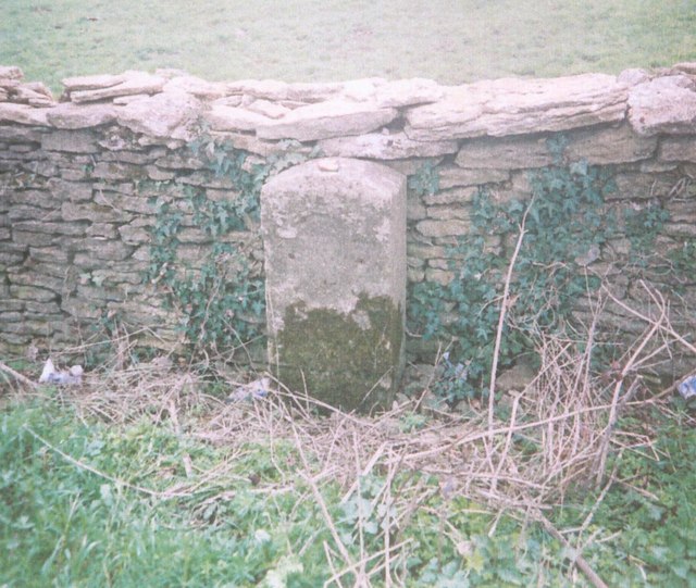
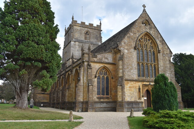
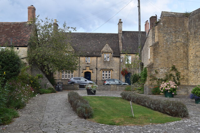
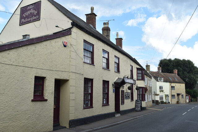
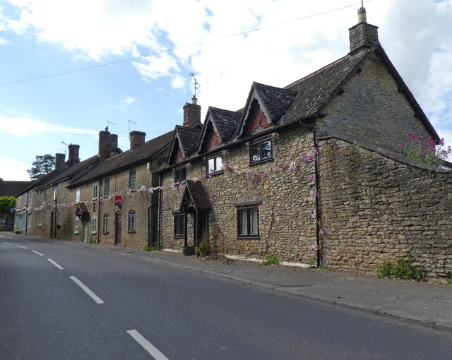
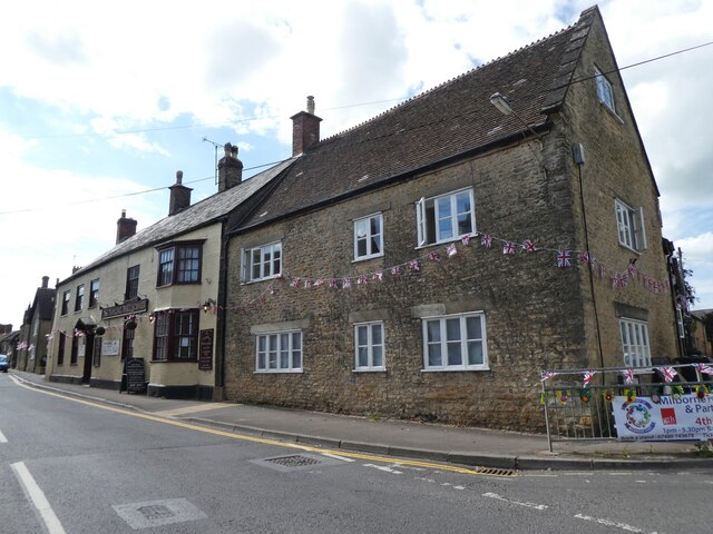
Images are sourced within 2km of 50.975435/-2.4438977 or Grid Reference ST6819. Thanks to Geograph Open Source API. All images are credited.


Hen Wood is located at Grid Ref: ST6819 (Lat: 50.975435, Lng: -2.4438977)
Administrative County: Somerset
District: South Somerset
Police Authority: Avon and Somerset
What 3 Words
///campus.coupler.rumbles. Near Milborne Port, Somerset
Nearby Locations
Related Wikis

Ven House
Ven House in Milborne Port, Somerset, England is an English manor house that has been designated as a Grade I listed building.Construction of the smaller...

Milborne Port
Milborne Port is a village, electoral ward and civil parish in Somerset, England, east of Sherborne, and in the South Somerset district. It has a population...
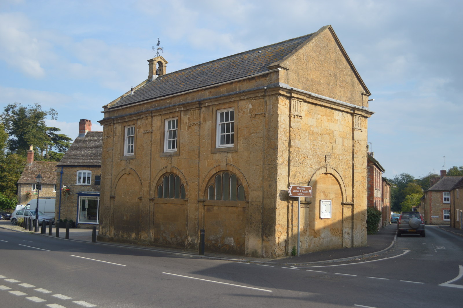
Milborne Port Town Hall
Milborne Port Town Hall is a municipal building in the High Street in Milborne Port, Somerset, England. The structure, which serves as meeting place of...
Church of St John the Evangelist, Milborne Port
The Church of St John the Evangelist in Milborne Port, Somerset, England is a cruciform church of late Anglo-Saxon date and parts may well span the Norman...

Laycock Railway Cutting
Laycock Railway Cutting (grid reference ST678213) is a 1.3 hectare geological Site of Special Scientific Interest near Milborne Port in Somerset, notified...

Purse Caundle
Purse Caundle is a village and civil parish in the county of Dorset in southwest England. It lies within the Dorset Council administrative area, about...
Milborne Wick Mission Church
Milborne Wick Mission Church is a Church of England church in Milborne Wick, Somerset, England. The church was built in 1891 and is a Grade II listed building...

Yenston
Yenston is a small hamlet in Somerset within the Parish of Henstridge. Located on the A357, the hamlet is located between Templecombe and Henstridge....
Nearby Amenities
Located within 500m of 50.975435,-2.4438977Have you been to Hen Wood?
Leave your review of Hen Wood below (or comments, questions and feedback).