Bengrove Wood
Wood, Forest in Somerset
England
Bengrove Wood
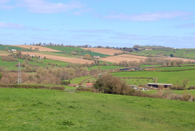
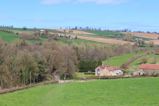
Bengrove Wood is a picturesque woodland located in Somerset, England. It covers an area of approximately 50 acres and is surrounded by rolling hills and open countryside. The wood is predominantly made up of native broadleaf trees, including oak, beech, and ash, creating a diverse and thriving ecosystem.
The woodland is a haven for wildlife, with an abundance of flora and fauna. It provides a habitat for various bird species, such as woodpeckers, owls, and thrushes, as well as small mammals like squirrels, rabbits, and foxes. The wood is also home to a rich variety of plant life, including bluebells, primroses, and ferns, which create a beautiful display during the spring months.
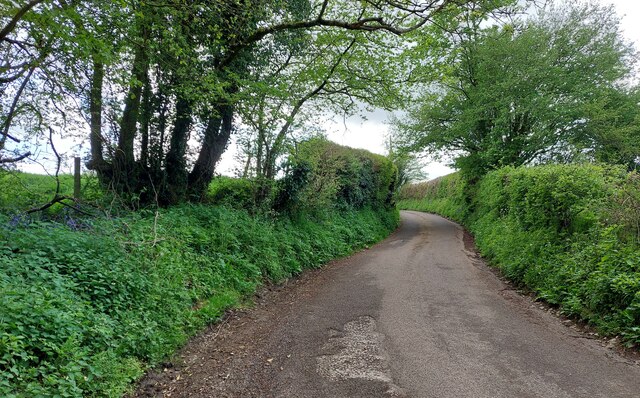
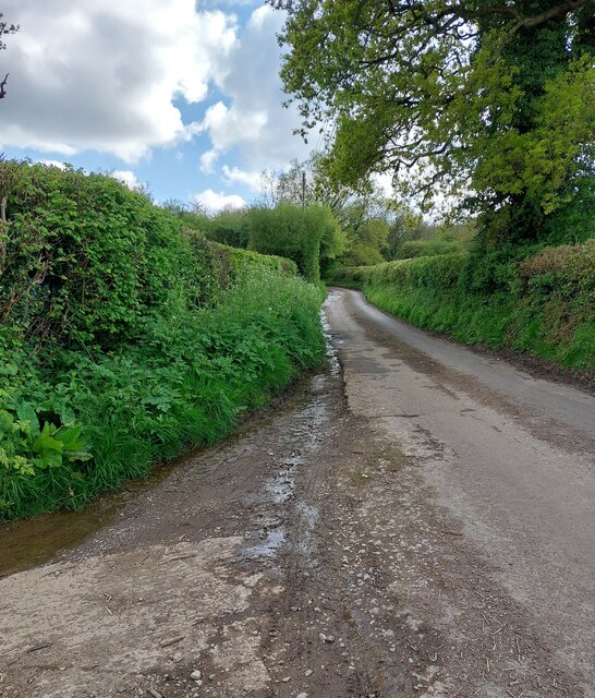
There are several well-maintained footpaths that crisscross through the wood, allowing visitors to explore its natural beauty. These paths lead to scenic viewpoints, allowing visitors to take in the stunning vistas of the surrounding countryside. The wood is a popular destination for walkers, joggers, and nature enthusiasts who come to enjoy the tranquility and peacefulness of the area.
Bengrove Wood is managed by a local conservation group, who work tirelessly to preserve and protect its natural environment. They undertake regular maintenance, including tree planting, clearing invasive species, and maintaining the footpaths, ensuring that the wood remains accessible and enjoyable for years to come.
Overall, Bengrove Wood is a true gem of Somerset, offering a serene and enchanting escape into nature. Whether you are a keen walker, a wildlife enthusiast, or simply seeking a peaceful retreat, this woodland is a must-visit destination.
If you have any feedback on the listing, please let us know in the comments section below.
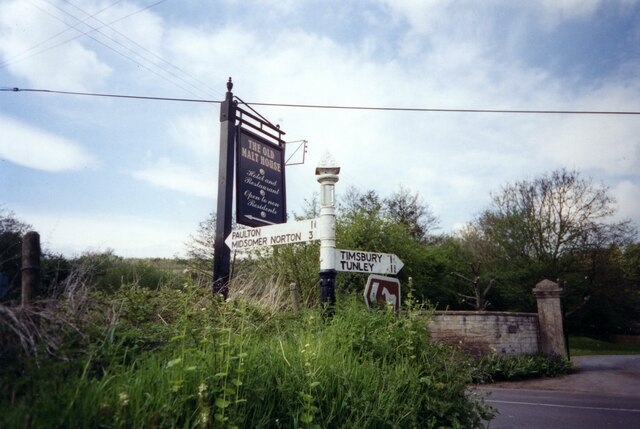
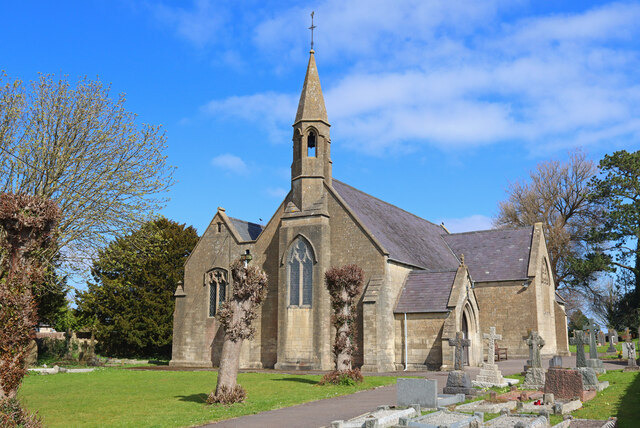
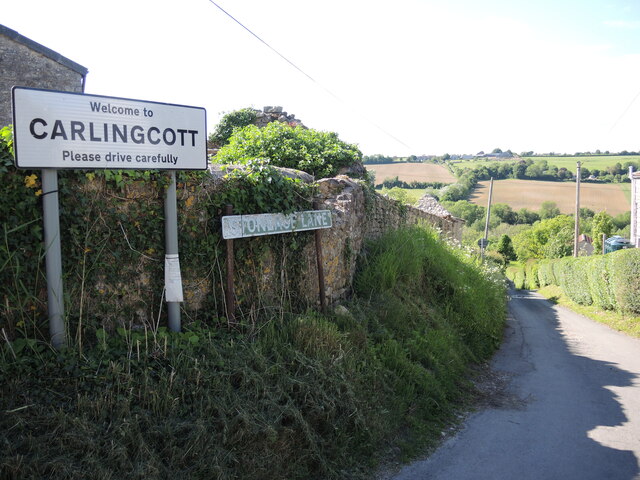
Bengrove Wood Images
Images are sourced within 2km of 51.325578/-2.4484485 or Grid Reference ST6858. Thanks to Geograph Open Source API. All images are credited.


Bengrove Wood is located at Grid Ref: ST6858 (Lat: 51.325578, Lng: -2.4484485)
Unitary Authority: Bath and North East Somerset
Police Authority: Avon and Somerset
What 3 Words
///grief.sprains.funny. Near Camerton, Somerset
Nearby Locations
Related Wikis

Tunley Camp
Tunley Camp is an vallate Iron Age hill fort situated approximately 0.8 miles (1.3 km) north-east from the small village of Camerton in the Bath and North...

Camerton, Somerset
Camerton is a village and civil parish in Somerset, 6 miles (9.7 km) south west of Bath, lying on the Cam Brook. The parish has a population of 655....

Camerton Court
Camerton Court is a historic house in the village of Camerton, Somerset, England. It has been designated as a Grade II listed building. == House == The...

Camerton railway station (Somerset)
Camerton (Somerset) railway station served the village of Camerton, England from 1882 to 1951 on the Bristol and North Somerset Railway. In common with...
St Peter's Church, Camerton Park
The Church of St Peter at Camerton Park in Camerton, Somerset, England was built in the 15th century and has been designated as a Grade I listed building...
Dunkerton railway station
Dunkerton railway station served the village of Dunkerton, Somerset, England from 1910 to 1925. It was constructed as part of the extension of the original...
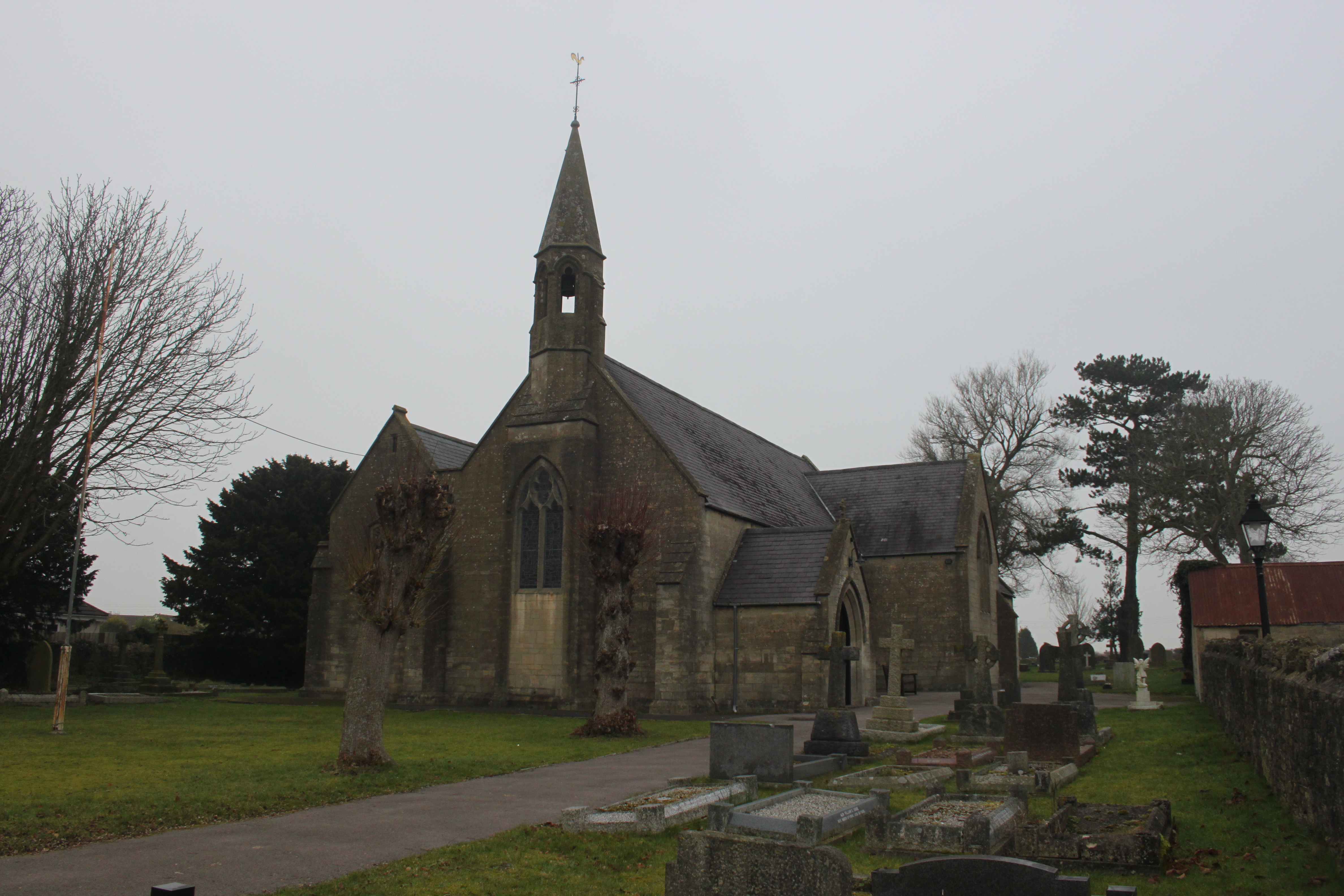
St John's Church, Peasedown St John
St John's Church, Peasedown St John (or more formally the Church of St John the Baptist, Peasedown) is the Anglican parish church for the village of Peasedown...
Radford and Timsbury Halt railway station
Radford and Timsbury Halt railway station was on the Camerton branch of the Great Western Railway in Somerset, England. It was in use from 1910 until 1915...
Nearby Amenities
Located within 500m of 51.325578,-2.4484485Have you been to Bengrove Wood?
Leave your review of Bengrove Wood below (or comments, questions and feedback).