Bevan's Wood

Wood, Forest in Herefordshire

England

Bevan's Wood

Farmland near Bradley Wood Common
Farmland near Bradley Wood Common Credit: Philip Halling

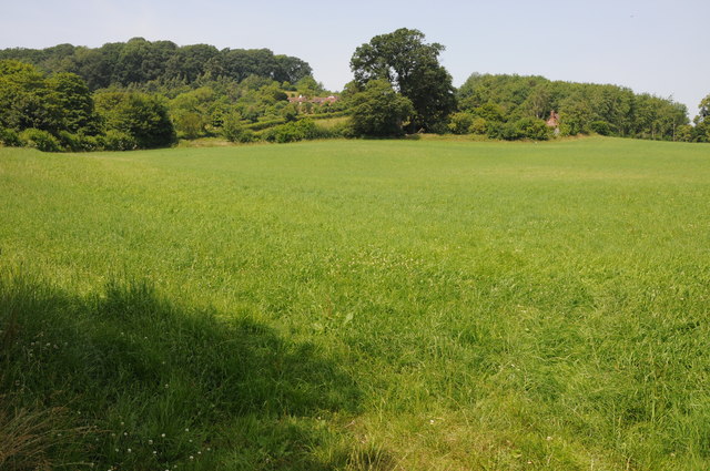
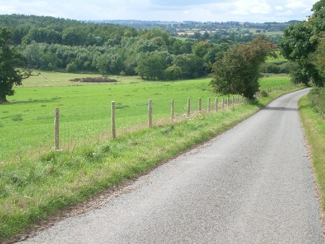
Bevan's Wood is a picturesque forest located in the county of Herefordshire, England. Covering an area of approximately 100 acres, it is a notable natural attraction known for its diverse flora and fauna, as well as its tranquil ambiance.

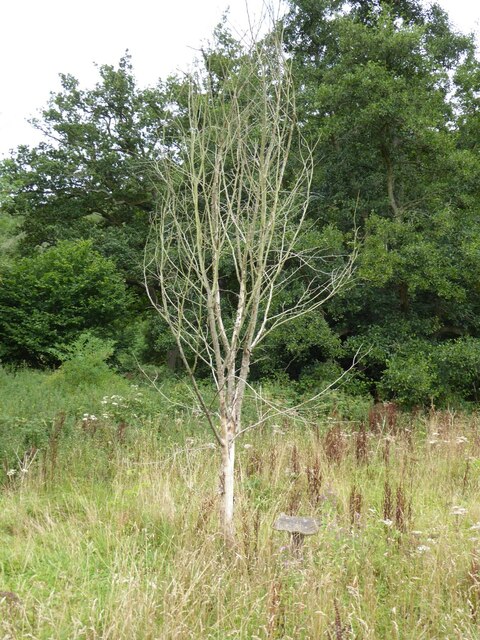
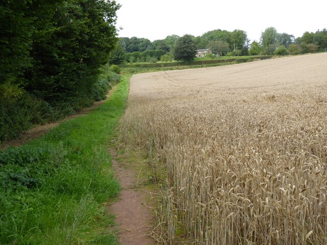
The wood is predominantly composed of native broadleaf trees, such as oak, beech, and ash, which create a dense canopy, allowing only dappled sunlight to filter through. This creates a perfect habitat for a variety of woodland creatures, including badgers, foxes, and numerous species of birds. It is not uncommon to spot woodpeckers, owls, and various songbirds flitting among the trees.

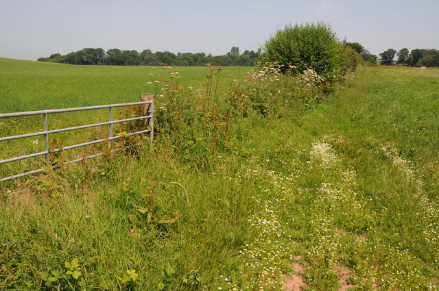
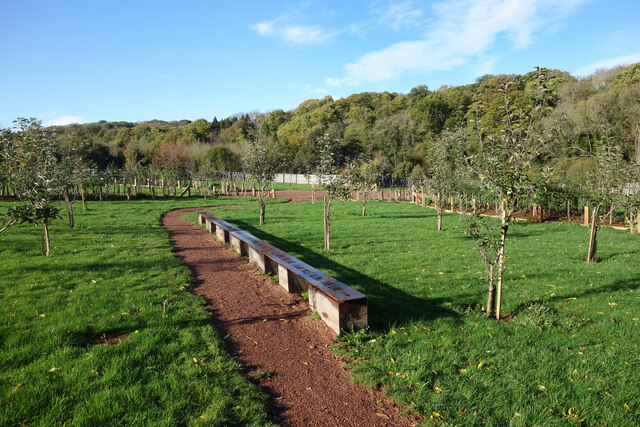
Tranquil pathways wind through the wood, providing visitors with the opportunity to immerse themselves in the beauty of nature. These well-maintained trails are ideal for leisurely walks, jogging, or even cycling, allowing visitors to explore the wood at their own pace. Wooden benches and picnic spots are strategically placed along the paths, offering visitors a chance to relax and take in the peaceful surroundings.

Bevan's Wood is also known for its vibrant display of wildflowers during the spring and summer months. Bluebells, foxgloves, and primroses create a carpet of color, attracting bees and butterflies. The wood is a popular spot for nature enthusiasts and photographers seeking to capture the beauty of these seasonal blooms.

Overall, Bevan's Wood is a hidden gem in Herefordshire, offering visitors a peaceful retreat in the heart of nature. Its natural beauty and diverse wildlife make it a must-visit destination for those seeking solace and a connection with the natural world.

If you have any feedback on the listing, please let us know in the comments section below.
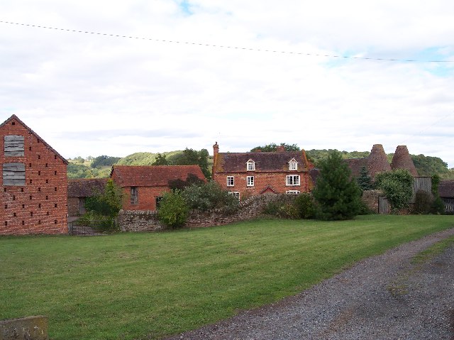
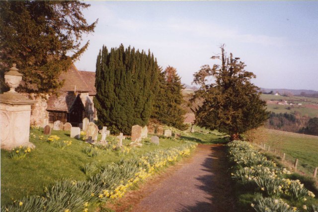
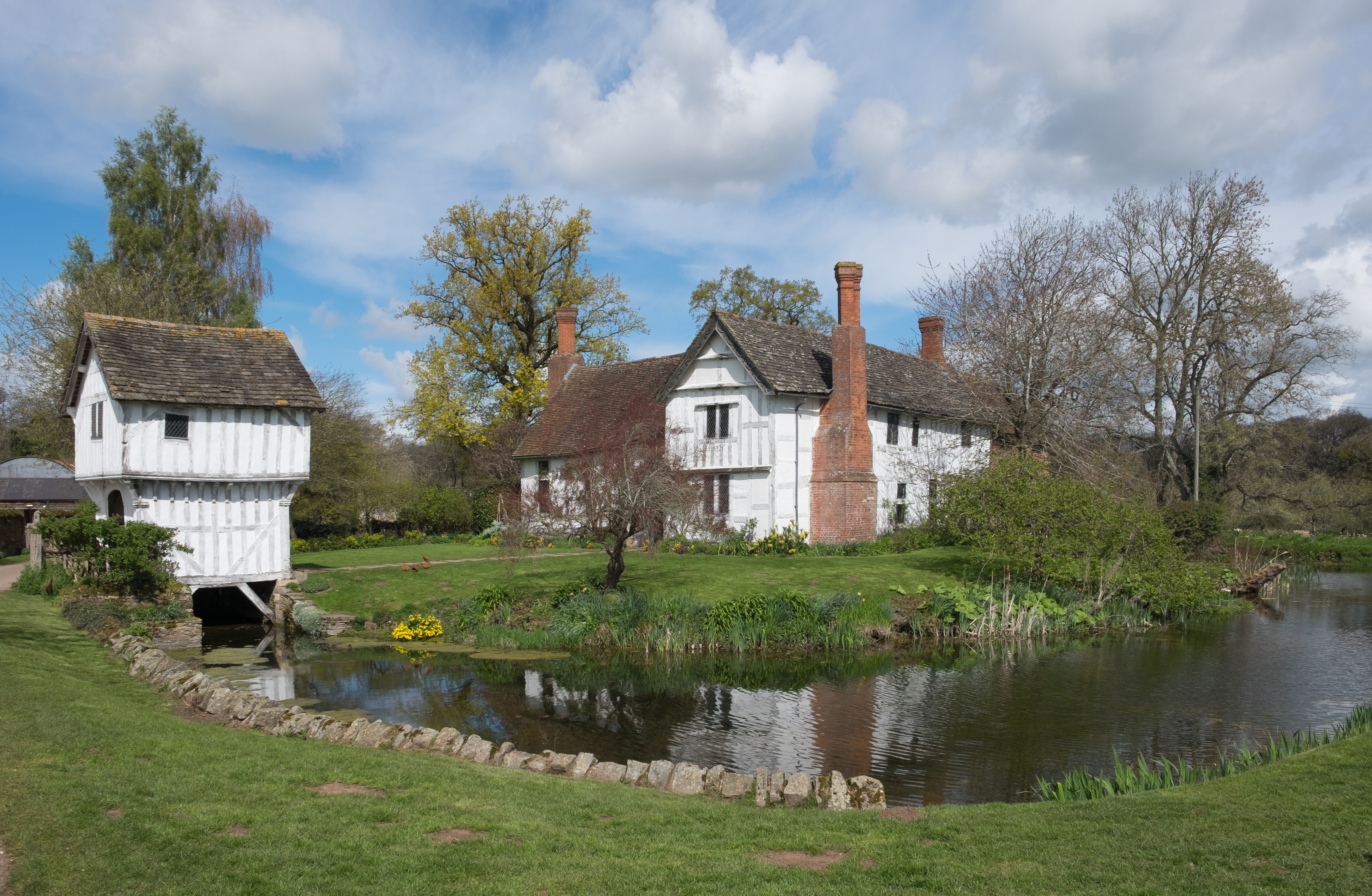
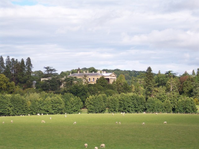
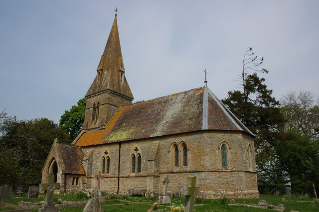
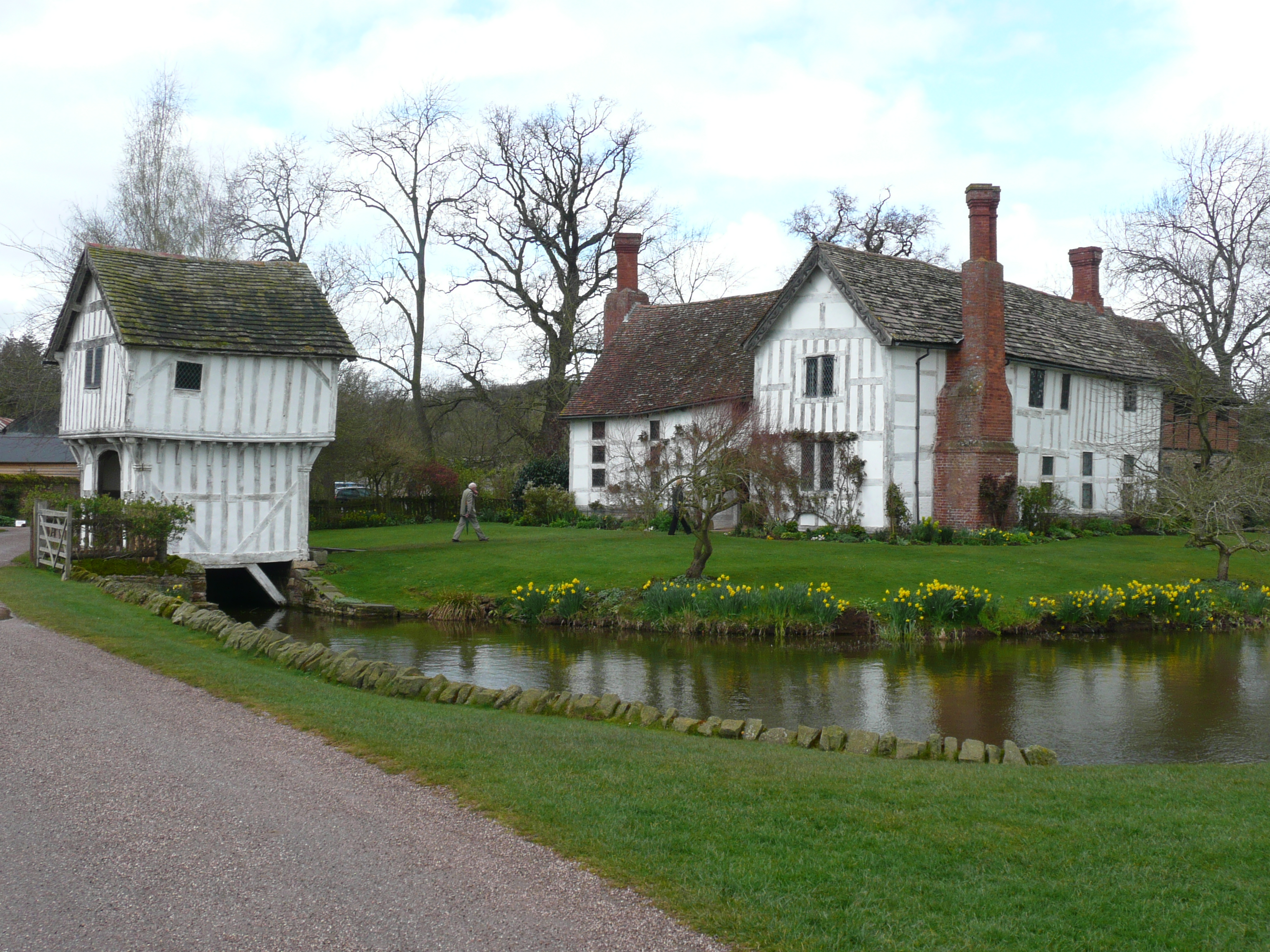
Bevan's Wood Images

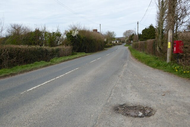
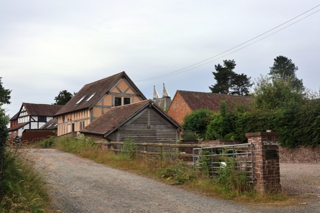
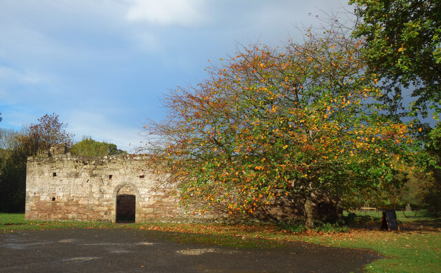
Images are sourced within 2km of 52.219292/-2.4605323 or Grid Reference SO6857. Thanks to Geograph Open Source API. All images are credited.

Farmland near Bradley Wood Common
Farmland near Whitbourne
A dead wych elm I remember elm trees being a common tree before Dutch elm disease wiped them out in the 1970s.  Three years ago I was surprised to see a young wych elm tree growing here <a href="https://www.geograph.org.uk/photo/5786065">SO6856 : A wych elm at Lower Brockhampton</a> and sadly as appears to happen the young trees still succumb to this disease.
A dead wych elm
I remember elm trees being a common tree before Dutch elm disease wiped them out in the 1970s. Three years ago I was surprised to see a young wych elm tree growing here SO6856 : A wych elm at Lower Brockhampton and sadly as appears to happen the young trees still succumb to this disease.
Dutch elm disease This pattern on the trunk of a dead wych elm tree was caused by the elm bark beetle which carries the fungi which causes Dutch elm disease and killed the tree.
Dutch elm disease
This pattern on the trunk of a dead wych elm tree was caused by the elm bark beetle which carries the fungi which causes Dutch elm disease and killed the tree.
Permissive footpath Permissive footpath in a field of wheat approaching a cottage on the edge of the Bromyard Downs.
Permissive footpath
Permissive footpath in a field of wheat approaching a cottage on the edge of the Bromyard Downs.
Font at Lower Brockhampton Font in the abandoned church at Lower Brockhampton.
Font at Lower Brockhampton
Font in the abandoned church at Lower Brockhampton.
Saltmarsh Castle Caravan Park Until 1955 when it was demolished this was the site of Saltmarshe Castle, a Victorian crenelated house. Today it is the site of the Saltmarshe Castle Caravan Park, its open and exposed elevated position making it a blot on a rural sparsely populated landscape.
Saltmarsh Castle Caravan Park
Until 1955 when it was demolished this was the site of Saltmarshe Castle, a Victorian crenelated house. Today it is the site of the Saltmarshe Castle Caravan Park, its open and exposed elevated position making it a blot on a rural sparsely populated landscape.
Farmland at Tedstone Wafre A field of oilseed rape opposite Green Farm at Tedstone Wafre.  Here is a similar in the autumn in 2013 <a href="https://www.geograph.org.uk/photo/3767722">SO6759 : Farmland opposite Green Farm</a>.
Farmland at Tedstone Wafre
A field of oilseed rape opposite Green Farm at Tedstone Wafre. Here is a similar in the autumn in 2013 SO6759 : Farmland opposite Green Farm.
Tedstone Wafre The B4203 at Tedstone Wafre.  Viewing this scene today you would have no idea a telephone box once stood here, see <a href="https://www.geograph.org.uk/photo/978962">SO6758 : Still connected!</a>.
Tedstone Wafre
The B4203 at Tedstone Wafre. Viewing this scene today you would have no idea a telephone box once stood here, see SO6758 : Still connected!.
Oast House Twin square kiln oast house.
Oast House
Twin square kiln oast house.
Ruined Chapel in Autumn The remains of an old medieval chapel stand next to the farm buildings a short distance away from Lower Brockhampton House.
Ruined Chapel in Autumn
The remains of an old medieval chapel stand next to the farm buildings a short distance away from Lower Brockhampton House.
New Orchard at Lower Brockhampton The National Trust has been busy planting new fruit trees at its Lower Brockhampton estate.
Not just in the original orchards, replacing old trees which are nearing the end of their days, but out into the fields beyond.
The new orchards are landscaped, with many varieties from overseas included as part of a history of the development of fruit growing.
Various woodcarvings and story boards are also included, as shown here.
This has all resulted in previously remote parts of the estate becoming interesting for visitors. New pathways have been made so that you can now walk out to areas that I would guess nobody went to much before.
New Orchard at Lower Brockhampton
The National Trust has been busy planting new fruit trees at its Lower Brockhampton estate. Not just in the original orchards, replacing old trees which are nearing the end of their days, but out into the fields beyond. The new orchards are landscaped, with many varieties from overseas included as part of a history of the development of fruit growing. Various woodcarvings and story boards are also included, as shown here. This has all resulted in previously remote parts of the estate becoming interesting for visitors. New pathways have been made so that you can now walk out to areas that I would guess nobody went to much before.
Old Milestone by B4203, Sandy Cross The Milestone is located at back of verge on the East side of the road.  Parish of Brockhampton (Bromyard) (Herefordshire District). Metal plate attached to stone post, Bromyard iron plate design, erected by the Bromyard turnpike trust in the 19th Century, edge chipped. An earlier photograph can be found here: <a title="https://www.geograph.org.uk/photo/6102835" href="https://www.geograph.org.uk/photo/6102835">Link</a> 

Inscription reads:-  
TO / BROMYARD / 2 / MILES  

Milestone Society National ID: HF_BYSP02
Old Milestone by B4203, Sandy Cross
The Milestone is located at back of verge on the East side of the road.  Parish of Brockhampton (Bromyard) (Herefordshire District). Metal plate attached to stone post, Bromyard iron plate design, erected by the Bromyard turnpike trust in the 19th Century, edge chipped. An earlier photograph can be found here: Link  Inscription reads:- TO / BROMYARD / 2 / MILES Milestone Society National ID: HF_BYSP02
Chapel at Lower Brockhampton <span class="nowrap"><a title="https://historicengland.org.uk/listing/the-list/list-entry/1082377?section=official-list-entry" rel="nofollow ugc noopener" href="https://historicengland.org.uk/listing/the-list/list-entry/1082377?section=official-list-entry">Link</a><img style="margin-left:2px;" alt="External link" title="External link - shift click to open in new window" src="https://s1.geograph.org.uk/img/external.png" width="10" height="10"/></span>
Chapel at Lower Brockhampton
Fields and woods looking west down the lane from Sandy Cross
Fields and woods
looking west down the lane from Sandy Cross
Sandy Cross looking north
Sandy Cross
looking north
The Farm Owned by the National Trust as part of the Brockhampton Estate and simply called "The Farm" this has a beautiful barn and oast houses and is available to hire - it sleeps 10.
The Farm
Owned by the National Trust as part of the Brockhampton Estate and simply called "The Farm" this has a beautiful barn and oast houses and is available to hire - it sleeps 10.
Tedstone Delamere, St James's Church This church is surrounded by fields with access by footpath.  It has two Norman windows in the nave, and a timber bell-turret with spire.
Tedstone Delamere, St James's Church
This church is surrounded by fields with access by footpath. It has two Norman windows in the nave, and a timber bell-turret with spire.
Show me another place!

Bevan's Wood is located at Grid Ref: SO6857 (Lat: 52.219292, Lng: -2.4605323)

Unitary Authority: County of Herefordshire

Police Authority: West Mercia

What 3 Words

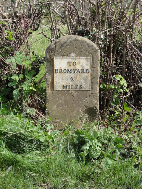
///snips.canoe.lyricism. Near Bromyard, Herefordshire

Nearby Locations

Bevan's Wood Norton Wood

Related Wikis

Tedstone Delamere

Tedstone Delamere is a village and civil parish in Herefordshire, England, 3.5 miles (6 km) north-east of Bromyard. The population of the parish at the...

Tedstone Wafer

Tedstone Wafer is a village and civil parish 16 miles (26 km) north east of Hereford, in the county of Herefordshire, England. In 2011 the parish had a...

Brockhampton Estate

The Brockhampton Estate is a National Trust property in Herefordshire, England, and is to the north of the A44 Bromyard to Worcester road, opposite the...

Whitbourne Hall

Whitbourne Hall is a Grade II* listed Greek Revival country house located in the village of Whitbourne in Herefordshire (near the Worcestershire border...

Edvin Loach

Edvin Loach, also Edwin Loach, is a village and former civil parish, now in the parish of Edvin Loach and Saltmarshe, in east Herefordshire, England, and...

Edvin Loach and Saltmarshe

Edvin Loach and Saltmarshe is a civil parish in north-east Herefordshire, England, and is approximately 15 miles (24 km) north-east from the city and county...

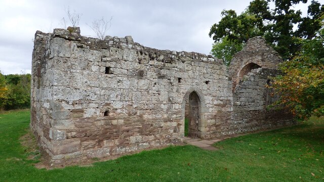
Old St Bartholomew's Church, Lower Sapey

Old St Bartholomew's Church is a redundant Anglican church near the village of Lower Sapey, Worcestershire, England. It is recorded in the National Heritage...

Brockhampton (near Bromyard)

Brockhampton is a civil parish in Herefordshire, England, about 4 km (2 mi) east of Bromyard. The parish comprises the National Trust property of Brockhampton...

Nearby Amenities

Located within 500m of 52.219292,-2.4605323
Barrier: stile
Lat/Long: 52.2198681/-2.4676296
Barrier: stile
Lat/Long: 52.2199408/-2.4676735
The data included in this document is from www.openstreetmap.org. The data is made available under ODbL.

Have you been to Bevan's Wood?

Leave your review of Bevan's Wood below (or comments, questions and feedback).