Norton Wood
Wood, Forest in Herefordshire
England
Norton Wood
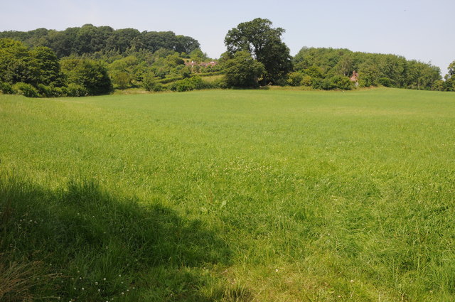
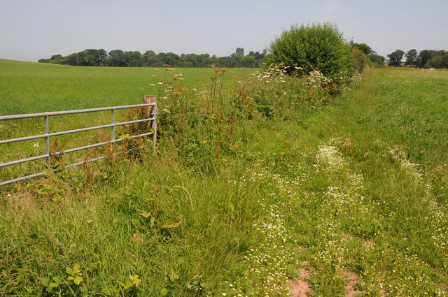
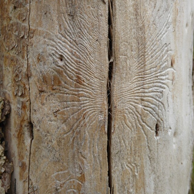
Norton Wood is a beautiful forest located in Herefordshire, England. Covering an area of approximately 50 acres, it is a haven for nature enthusiasts and hikers alike. The wood is known for its dense and diverse vegetation, with towering oak, ash, and beech trees dominating the landscape. The forest floor is covered in a lush carpet of ferns, bluebells, and other wildflowers, adding to its enchanting appeal.
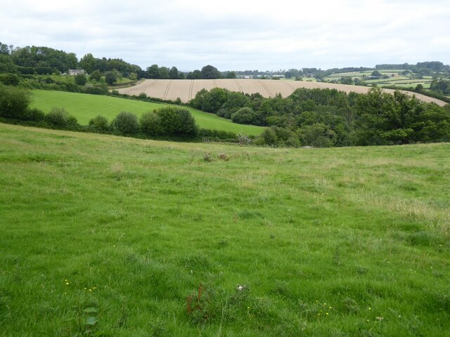
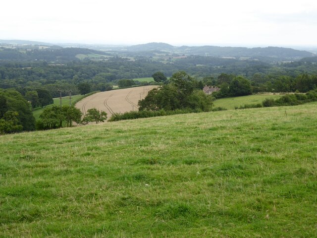
One of the key features of Norton Wood is its tranquil atmosphere. The absence of major roads or nearby towns ensures that visitors can enjoy the peacefulness and serenity of the forest undisturbed. This makes it a popular destination for those seeking a break from the hustle and bustle of everyday life.
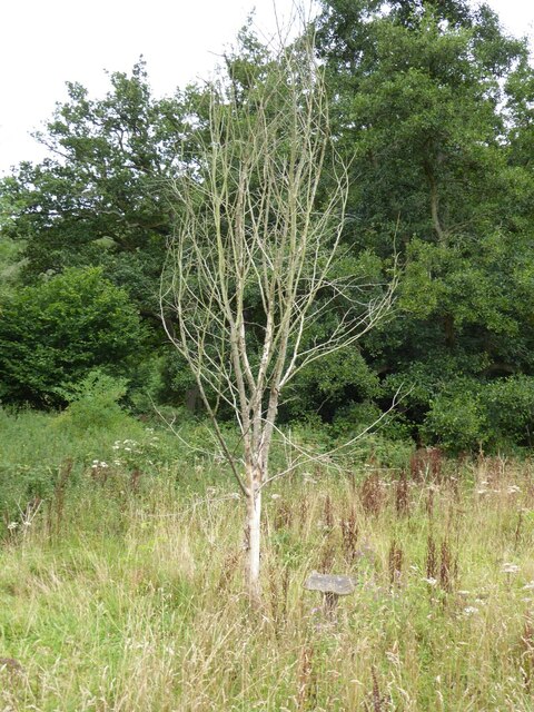
The wood also boasts a rich wildlife population. It is home to a variety of bird species, including woodpeckers, song thrushes, and tawny owls. Additionally, deer, foxes, and badgers can be spotted roaming the forest, adding to its natural charm.
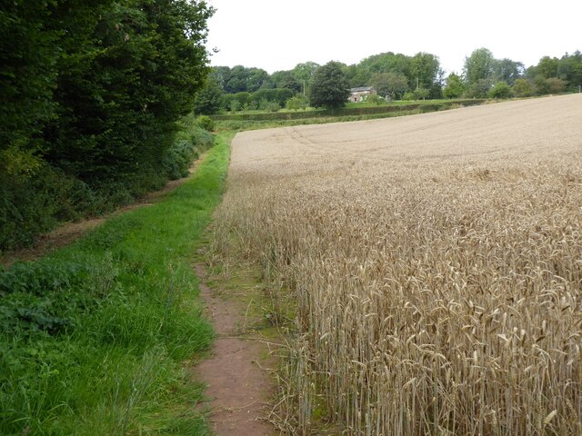
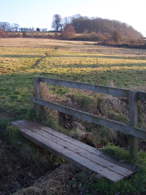
For outdoor enthusiasts, Norton Wood offers several walking trails that allow visitors to explore its beauty at their own pace. These trails are well-maintained and offer breathtaking views of the surrounding countryside. There are also picnic areas dotted throughout the forest, providing the perfect opportunity to relax and enjoy a meal amidst nature.
In conclusion, Norton Wood is a truly remarkable forest in Herefordshire, offering a peaceful escape and a chance to immerse oneself in the beauty of nature. Its diverse vegetation, abundant wildlife, and well-maintained trails make it a must-visit destination for anyone seeking a tranquil and scenic experience.
If you have any feedback on the listing, please let us know in the comments section below.
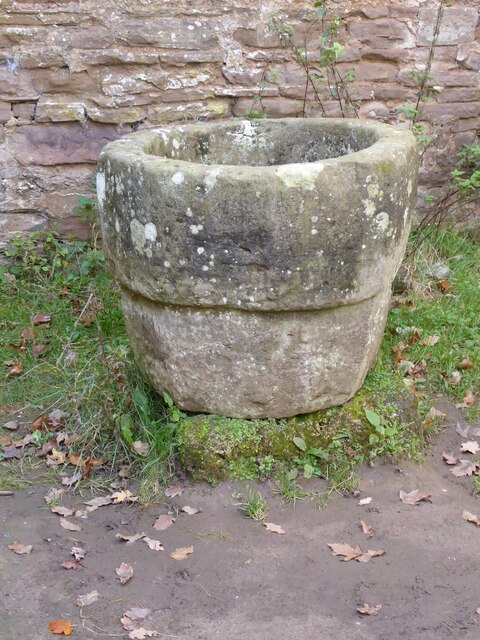
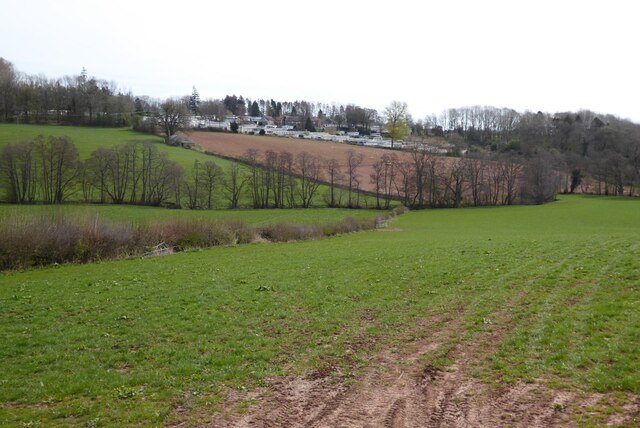
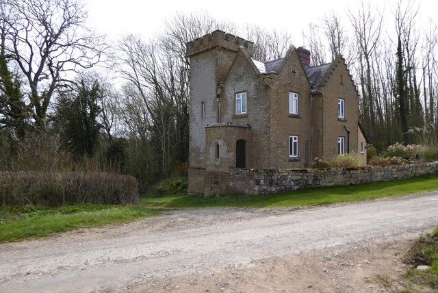
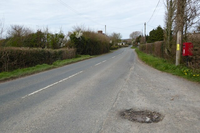
Norton Wood Images
Images are sourced within 2km of 52.21068/-2.4649216 or Grid Reference SO6857. Thanks to Geograph Open Source API. All images are credited.


Norton Wood is located at Grid Ref: SO6857 (Lat: 52.21068, Lng: -2.4649216)
Unitary Authority: County of Herefordshire
Police Authority: West Mercia
What 3 Words
///nozzles.airstrip.sloping. Near Bromyard, Herefordshire
Nearby Locations
Related Wikis
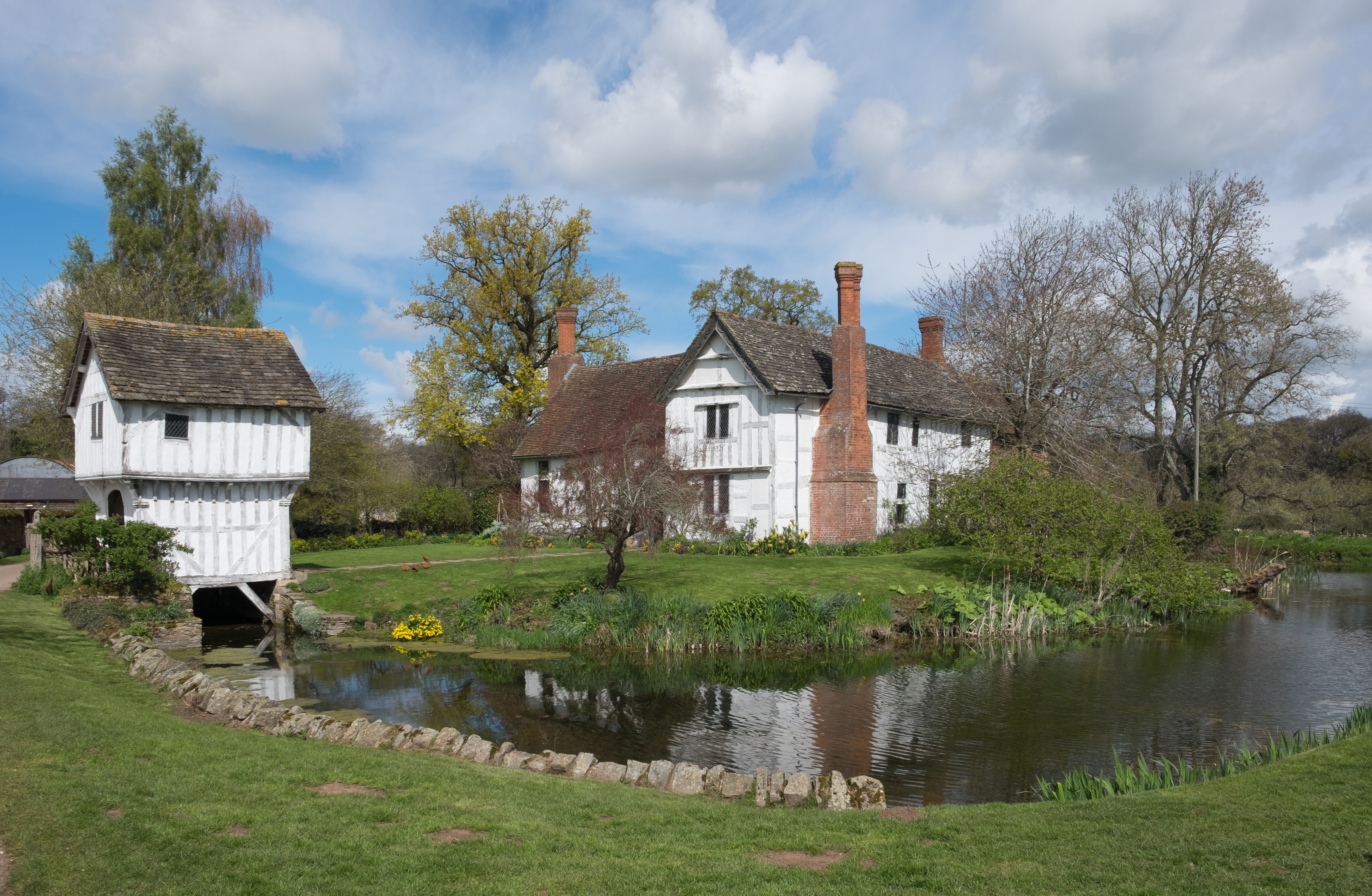
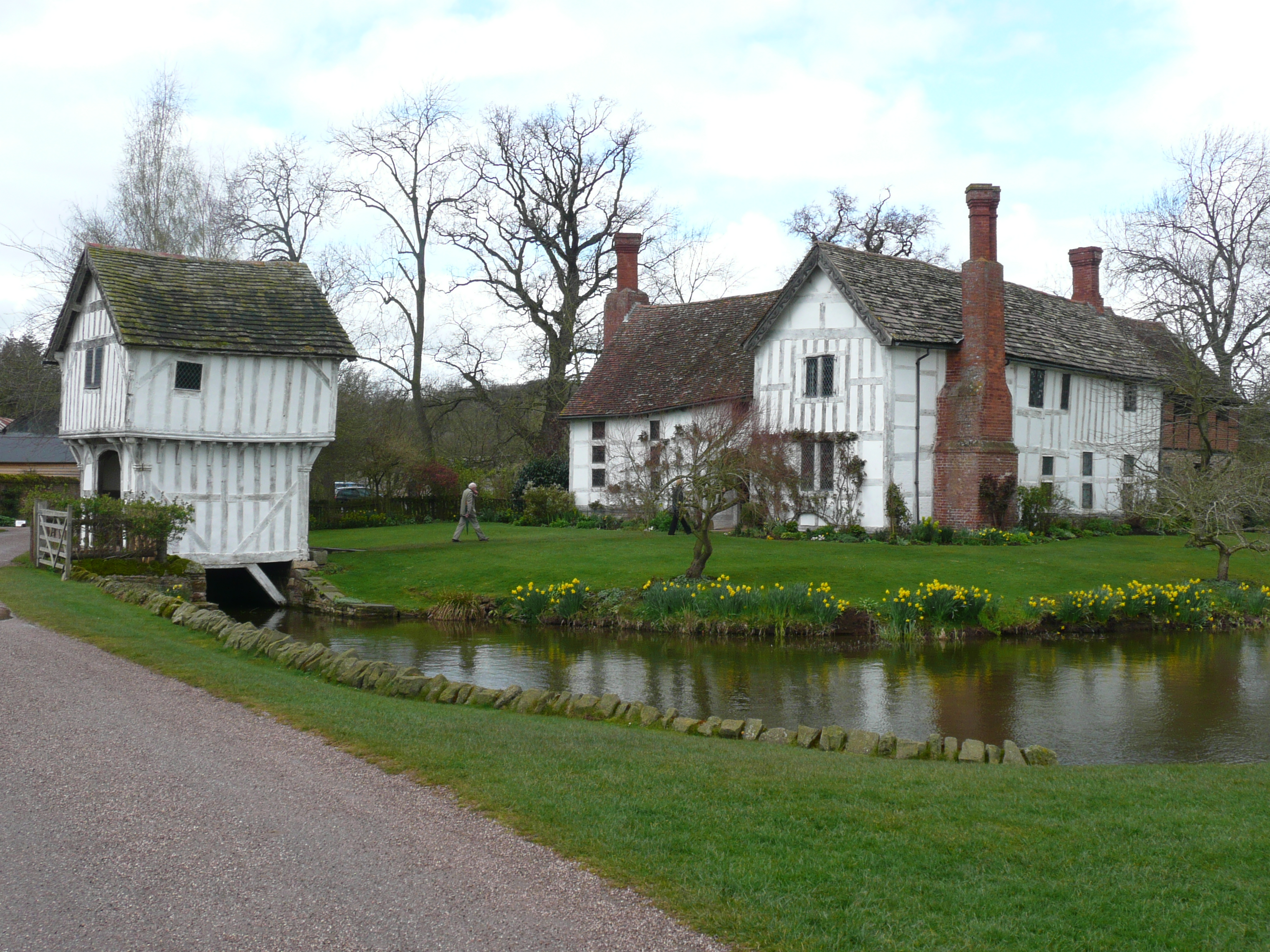
Brockhampton Estate
The Brockhampton Estate is a National Trust property in Herefordshire, England, and is to the north of the A44 Bromyard to Worcester road, opposite the...

Tedstone Delamere
Tedstone Delamere is a village and civil parish in Herefordshire, England, 3.5 miles (6 km) north-east of Bromyard. The population of the parish at the...

Tedstone Wafer
Tedstone Wafer is a village and civil parish 16 miles (26 km) north east of Hereford, in the county of Herefordshire, England. In 2011 the parish had a...
Brockhampton (near Bromyard)
Brockhampton is a civil parish in Herefordshire, England, about 4 km (2 mi) east of Bromyard. The parish comprises the National Trust property of Brockhampton...
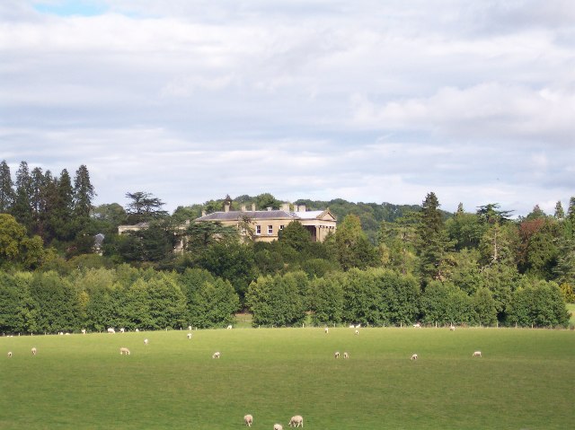
Whitbourne Hall
Whitbourne Hall is a Grade II* listed Greek Revival country house located in the village of Whitbourne in Herefordshire (near the Worcestershire border...
Bromyard Downs
Bromyard Downs is an area of registered common land, and a scattered settlement, just outside the town of Bromyard in Herefordshire, England. The 114 hectares...
Edvin Loach
Edvin Loach, also Edwin Loach, is a village and former civil parish, now in the parish of Edvin Loach and Saltmarshe, in east Herefordshire, England, and...

Norton, Herefordshire
Norton is a civil parish in north-east Herefordshire, England, and is approximately 14 miles (23 km) north-east from the city and county town of Hereford...
Nearby Amenities
Located within 500m of 52.21068,-2.4649216Have you been to Norton Wood?
Leave your review of Norton Wood below (or comments, questions and feedback).