Oxleasow Wood
Wood, Forest in Shropshire
England
Oxleasow Wood
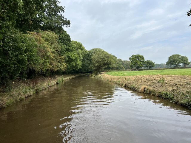
Oxleasow Wood is a picturesque forest located in Shropshire, England. Covering an area of approximately 50 hectares, it is known for its diverse range of flora and fauna, making it a popular destination for nature enthusiasts and hikers alike.
The wood is primarily composed of native broadleaf trees such as oak, beech, and birch. These trees create a dense canopy that provides a cool and tranquil environment, especially during the summer months. The forest floor is carpeted with a variety of wildflowers, including bluebells, primroses, and wood anemones, adding bursts of color to the landscape.
The wood is crisscrossed by a network of well-maintained footpaths, allowing visitors to explore its beauty at their own pace. Along these trails, one can encounter a wide range of wildlife, including deer, rabbits, and various bird species. The wood is also home to a small population of red squirrels, which adds to its charm.
For those interested in history, Oxleasow Wood has a rich past. It is believed to have been part of a much larger medieval hunting forest and served as a valuable resource for timber production in the past. Remnants of old coppicing activity can still be seen in certain areas, providing a glimpse into the wood's historical significance.
Overall, Oxleasow Wood offers a peaceful and enchanting experience for visitors, with its stunning natural beauty and abundant wildlife. Whether one is a nature lover, a history enthusiast, or simply seeking a serene escape from the hustle and bustle of everyday life, this forest is a must-visit destination in Shropshire.
If you have any feedback on the listing, please let us know in the comments section below.
Oxleasow Wood Images
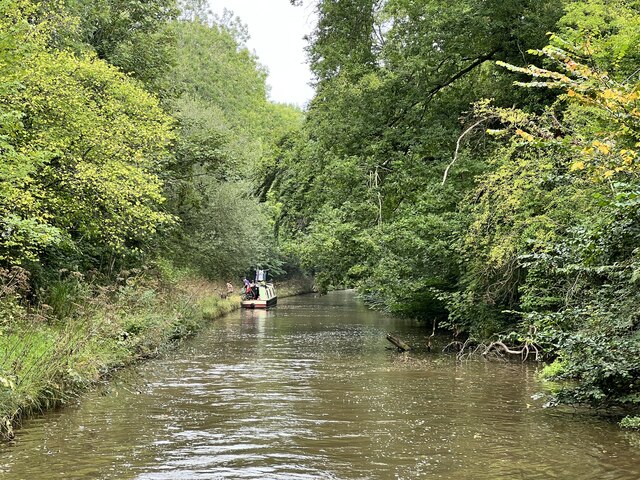
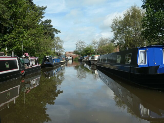
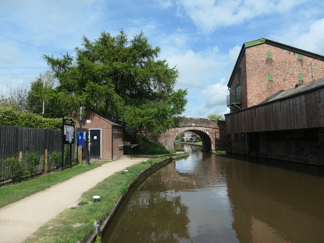
Images are sourced within 2km of 52.919102/-2.4696813 or Grid Reference SJ6835. Thanks to Geograph Open Source API. All images are credited.


Oxleasow Wood is located at Grid Ref: SJ6835 (Lat: 52.919102, Lng: -2.4696813)
Unitary Authority: Shropshire
Police Authority: West Mercia
What 3 Words
///pump.snoozing.longingly. Near Market Drayton, Shropshire
Nearby Locations
Related Wikis

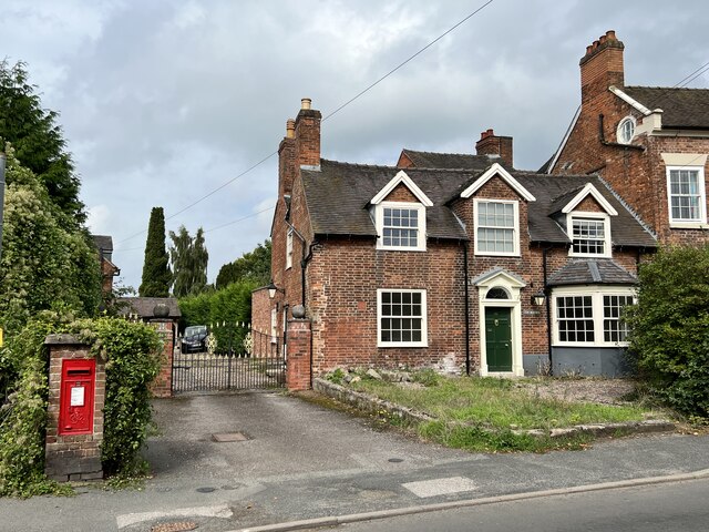
Betton, Shropshire
Betton is a hamlet in the civil parish of Norton in Hales, in the Shropshire district, in the county of Shropshire, England.

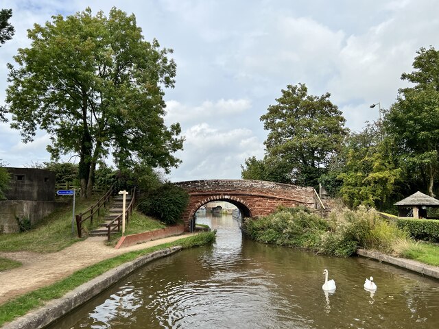
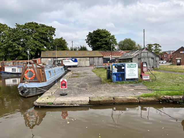
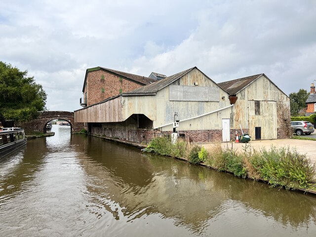
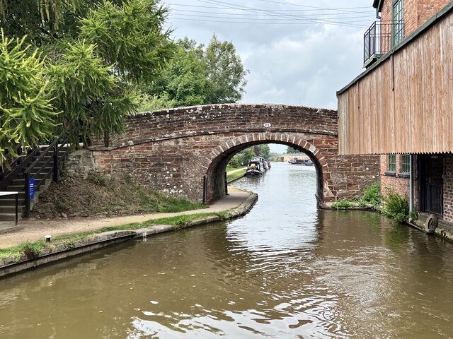
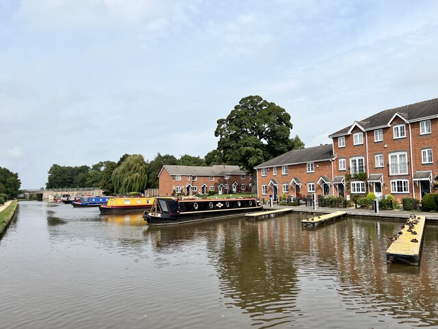
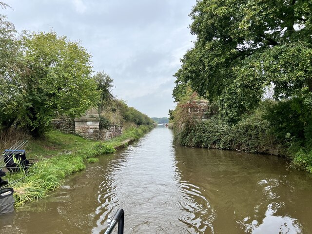
Birmingham and Liverpool Junction Canal
The Birmingham and Liverpool Junction Canal was a canal in England which ran from Nantwich, where it joined the Chester Canal, to Autherley, where it joined...

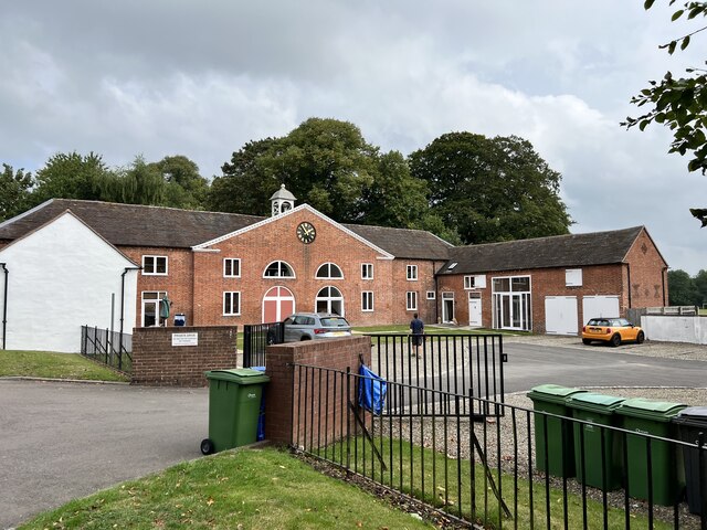
Grove School, Market Drayton
Grove School is a coeducational secondary school and sixth form located in Market Drayton, Shropshire, England.Grove School is Market Drayton's only secondary...

Market Drayton railway station
Market Drayton railway station served the town of Market Drayton in Shropshire, England, between 1863 and 1963. It was at the junction where three railway...
Nearby Amenities
Located within 500m of 52.919102,-2.4696813Have you been to Oxleasow Wood?
Leave your review of Oxleasow Wood below (or comments, questions and feedback).