Wilderley Coppice

Wood, Forest in Shropshire

England

Wilderley Coppice

Fields near High Trees Farm
Fields near High Trees Farm Credit: Alex McGregor

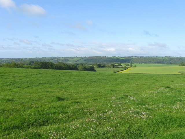
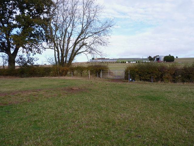
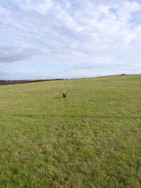
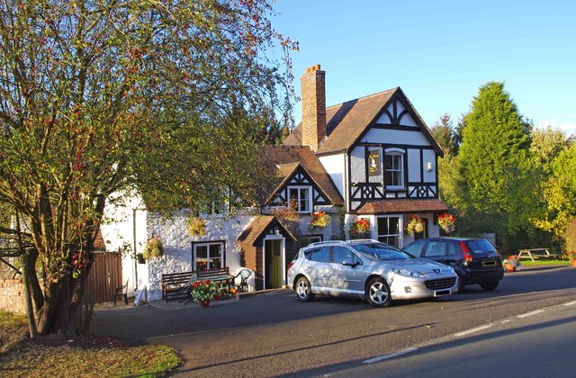
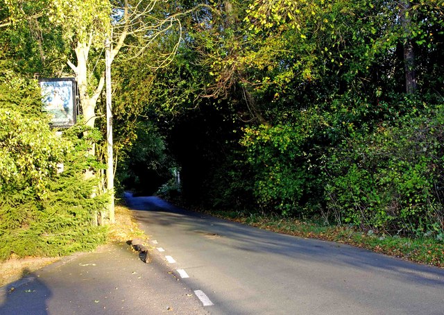
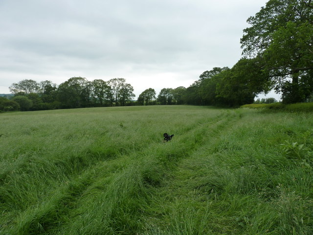
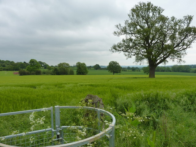
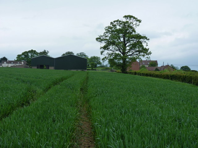
Wilderley Coppice is a picturesque woodland located in the county of Shropshire, England. Situated near the village of Wilderley, the coppice covers an area of approximately 50 acres, making it a relatively small forest in comparison to others in the region. Despite its size, it is known for its diverse range of flora and fauna, making it a popular destination for nature enthusiasts and hikers.

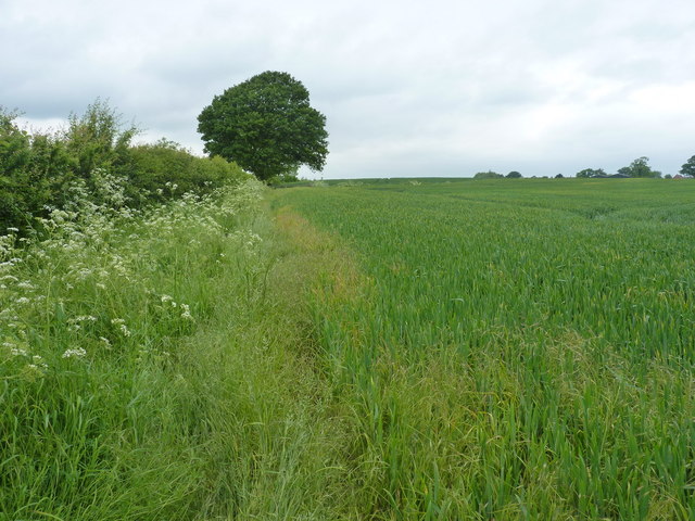
The woodland is primarily composed of deciduous trees, including oak, beech, and birch, which create a vibrant and colorful canopy during the autumn months. Wilderley Coppice is also home to several species of wildflowers, such as bluebells and primroses, which carpet the forest floor in springtime.

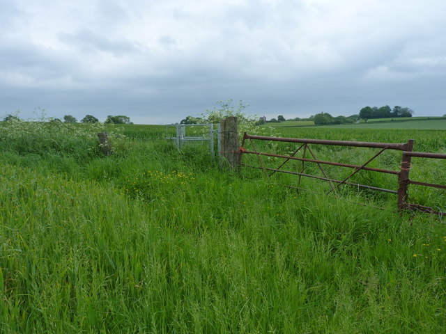
The coppice boasts a network of well-maintained footpaths and trails, providing visitors with the opportunity to explore its natural beauty. The paths wind through the trees, revealing hidden clearings and meandering streams. Along the way, visitors may encounter a variety of wildlife, including squirrels, deer, and a range of bird species.

Wilderley Coppice is managed by the local authorities, who ensure its conservation and preservation. The forest is protected under several designations, including a Site of Special Scientific Interest (SSSI), due to its importance for biodiversity. The management practices employed in the coppice aim to maintain a healthy ecosystem and protect the native wildlife.

Overall, Wilderley Coppice offers a tranquil and enchanting experience for visitors, providing a serene escape into nature's wonders.

If you have any feedback on the listing, please let us know in the comments section below.

Wilderley Coppice Images

Images are sourced within 2km of 52.565587/-2.4689772 or Grid Reference SO6896. Thanks to Geograph Open Source API. All images are credited.

Fields near High Trees Farm
Bridleway and entrance to The Croft farm
Barn conversions at The Croft A bridleway runs right through the farmyard, past these rather good conversions.
Barn conversions at The Croft
A bridleway runs right through the farmyard, past these rather good conversions.
The bridleway to The Croft
Bridleway crossing Tiddle Brook on its way to High Trees
Bridleway and track to High Trees farm
Let off the lead again... No sheep in this field, just a bridleway.
Let off the lead again...
No sheep in this field, just a bridleway.
The valley and fields north of Kingsley Farm
The Pheasant (1), Britons Lane, Linley Brook The Pheasant, or Pheasants Inn as it is often called, is a rural pub of traditional character. Real ale is available, as well as food, and the pub has bar billiards.

Other photos:-

<a href="https://www.geograph.org.uk/photo/2686355">SO6797 : The Pheasant (2), Britons Lane, Linley Brook</a>.
<a href="https://www.geograph.org.uk/photo/2686374">SO6797 : The Pheasant (3) - sign, Britons Lane, Linley Brook</a>.
<a href="https://www.geograph.org.uk/photo/2686388">SO6897 : The Pheasant (4) - sign, Britons Lane, Linley Brook</a>.
The Pheasant (1), Britons Lane, Linley Brook
The Pheasant, or Pheasants Inn as it is often called, is a rural pub of traditional character. Real ale is available, as well as food, and the pub has bar billiards. Other photos:- SO6797 : The Pheasant (2), Britons Lane, Linley Brook. SO6797 : The Pheasant (3) - sign, Britons Lane, Linley Brook. SO6897 : The Pheasant (4) - sign, Britons Lane, Linley Brook.
The Pheasant (2), Britons Lane, Linley Brook An attractive rural pub in the small rather scattered village of Linley Brook. Back in 2004, there was an application to convert the pub into residential use, but this was not accepted, and today it remains in use as a pub.

More photos:- <a href="https://www.geograph.org.uk/photo/2686325">SO6797 : The Pheasant (1), Britons Lane, Linley Brook</a>.
The Pheasant (2), Britons Lane, Linley Brook
An attractive rural pub in the small rather scattered village of Linley Brook. Back in 2004, there was an application to convert the pub into residential use, but this was not accepted, and today it remains in use as a pub. More photos:- SO6797 : The Pheasant (1), Britons Lane, Linley Brook.
The Pheasant (3) - sign, Britons Lane, Linley Brook The Pheasant has two pub signs. This one is attached to the front of the building. The other, of a different design, is on a post in the car park.

More photos:- <a href="https://www.geograph.org.uk/photo/2686325">SO6797 : The Pheasant (1), Britons Lane, Linley Brook</a>.
The Pheasant (3) - sign, Britons Lane, Linley Brook
The Pheasant has two pub signs. This one is attached to the front of the building. The other, of a different design, is on a post in the car park. More photos:- SO6797 : The Pheasant (1), Britons Lane, Linley Brook.
The Pheasant (4) - sign, Britons Lane, Linley Brook This sign, gradually being enveloped by a neighbouring tree, is at the far end of the car park of the Pheasant pub. It is on top of a post. Another sign, of a different design, is to be found attached to the front of the pub.

More photos:- <a href="https://www.geograph.org.uk/photo/2686325">SO6797 : The Pheasant (1), Britons Lane, Linley Brook</a>.
The Pheasant (4) - sign, Britons Lane, Linley Brook
This sign, gradually being enveloped by a neighbouring tree, is at the far end of the car park of the Pheasant pub. It is on top of a post. Another sign, of a different design, is to be found attached to the front of the pub. More photos:- SO6797 : The Pheasant (1), Britons Lane, Linley Brook.
Britons Lane, Linley Brook Unclassified road leading to the B4373 road.
Britons Lane, Linley Brook
Unclassified road leading to the B4373 road.
On the footpath towards Nordley At this point, the path is a reasonably well-marked affair; this is not so true further northeast.
On the footpath towards Nordley
At this point, the path is a reasonably well-marked affair; this is not so true further northeast.
Footpath back towards Cross Lane Heads Little effort had been made to maintain this path through the crop - Daft Dog and I were forced to wade, thigh deep in my case, through the wet crop. Great fun. All the stiles and gates are in place, but the path is rarely used.
Footpath back towards Cross Lane Heads
Little effort had been made to maintain this path through the crop - Daft Dog and I were forced to wade, thigh deep in my case, through the wet crop. Great fun. All the stiles and gates are in place, but the path is rarely used.
Footpath to Nordley A rather overgrown (overplanted) path on the edge of a field near Nordley.
Footpath to Nordley
A rather overgrown (overplanted) path on the edge of a field near Nordley.
Best of luck with THIS stile... The stile's there, and quite new. What isn't so obvious in the photo is the 3-strand barbed wire fence that completely blocks it. Daft Dog went under the rickety gate, and I climbed it, as I didn't much fancy lacerating my legs.
Best of luck with THIS stile...
The stile's there, and quite new. What isn't so obvious in the photo is the 3-strand barbed wire fence that completely blocks it. Daft Dog went under the rickety gate, and I climbed it, as I didn't much fancy lacerating my legs.
Approaching Nordley On the footpath from the direction of Kingsley Farm, this is the view you get of the barns at Dairy Farm in Nordley.
Approaching Nordley
On the footpath from the direction of Kingsley Farm, this is the view you get of the barns at Dairy Farm in Nordley.
Show me another place!

Wilderley Coppice is located at Grid Ref: SO6896 (Lat: 52.565587, Lng: -2.4689772)

Unitary Authority: Shropshire

Police Authority: West Mercia

What 3 Words

///novelist.ourselves.soaks. Near Bridgnorth, Shropshire

Related Wikis

Aldenham Park, Morville

Aldenham Park, also known as Aldenham Hall, is a late 17th-century country house in Morville, near Bridgnorth, Shropshire, England which stands in 12 hectares...

St Leonard's Church, Linley

St Leonard's Church is in the hamlet of Linley, Shropshire, England. It is a redundant church under the care of the Churches Conservation Trust. When...

Astley Abbotts

Astley Abbotts is a village and civil parish in Shropshire, England, located immediately north of Bridgnorth, and straddling the B4373 Bridgnorth to Broseley...

Morville, Shropshire

Morville is a village and civil parish about 3 miles west of Bridgnorth, in the Shropshire district, in the county of Shropshire, England. In 2011, the...

Tasley, Shropshire

Tasley is a village and civil parish in Shropshire, England.It is located to the immediate west of the town of Bridgnorth, and the A458 road passes through...

Willey, Shropshire

Willey is a small village in the civil parish of Barrow, south west of the town of Broseley, Shropshire, England. It is made up of about 4 farms and the...

Linley Halt railway station

Linley, later Linley Halt, was a small railway station on the Severn Valley line in Shropshire, England. The station was built as a condition of constructing...

Apley Forge

Apley Forge is a village in Shropshire, England, north of the town of Bridgnorth. == External links == Media related to Apley Forge at Wikimedia Commons

Have you been to Wilderley Coppice?

Leave your review of Wilderley Coppice below (or comments, questions and feedback).